Glenwood Springs is a home rule municipality that is the county seat of Garfield County, Colorado, United States. The city population was 9,963 at the 2020 United States Census. Glenwood Springs is located at the confluence of the Roaring Fork River and the Colorado River, connecting the Roaring Fork Valley and a series of smaller towns up and down the Colorado River.
Glenwood Springs is a destination for many vacationers, and is known for its hot springs.
| Name: | Glenwood Springs city |
|---|---|
| LSAD Code: | 25 |
| LSAD Description: | city (suffix) |
| State: | Colorado |
| County: | Garfield County |
| Incorporated: | September 4, 1885 |
| Elevation: | 5,761 ft (1,756 m) |
| Total Area: | 5.844 sq mi (15.136 km²) |
| Land Area: | 5.836 sq mi (15.114 km²) |
| Water Area: | 0.008 sq mi (0.022 km²) |
| Total Population: | 9,963 |
| Population Density: | 1,707/sq mi (659/km²) |
| ZIP code: | 81601, 81602 (PO Box) |
| Area code: | 970 |
| FIPS code: | 0830780 |
| GNISfeature ID: | 0204659 |
| Website: | www.ci.glenwood-springs.co.us |
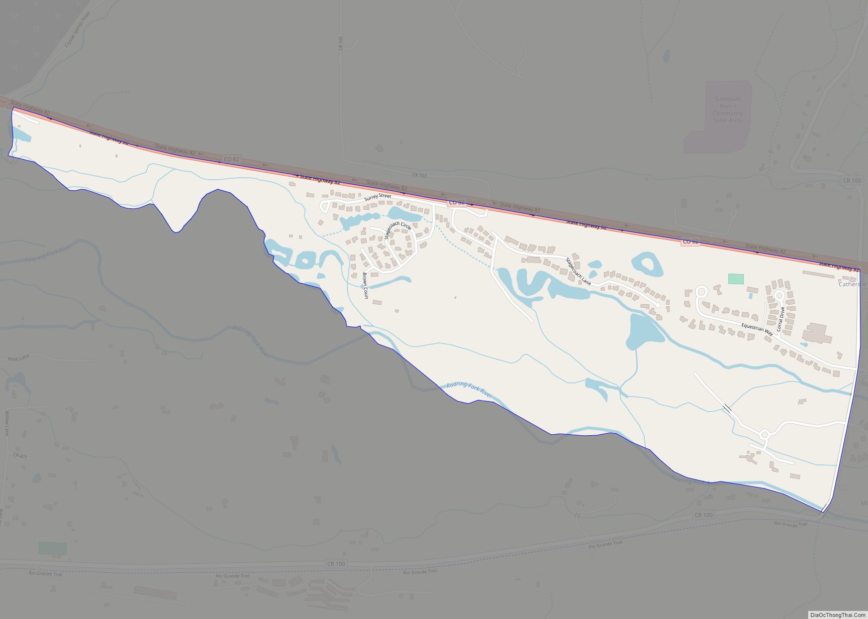
Online Interactive Map
Click on ![]() to view map in "full screen" mode.
to view map in "full screen" mode.
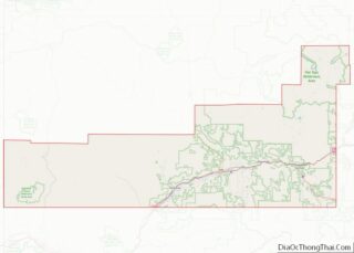
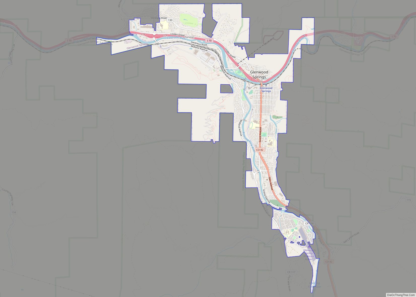
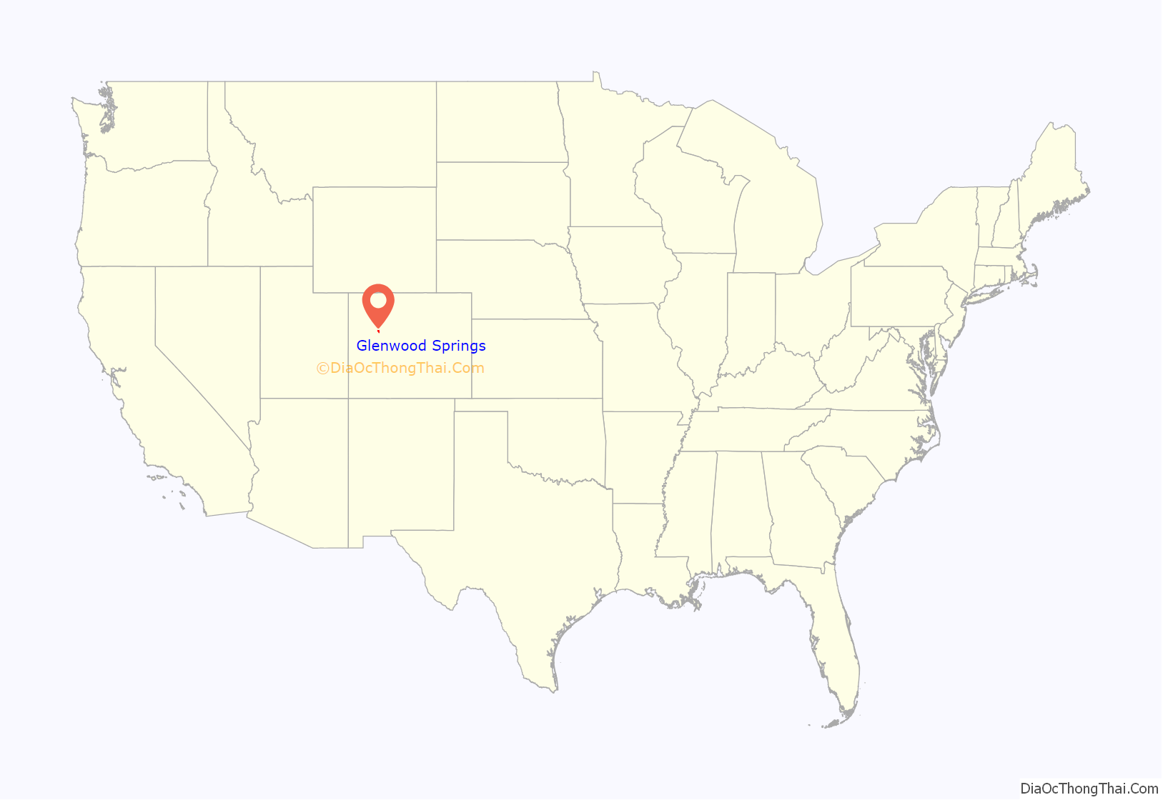
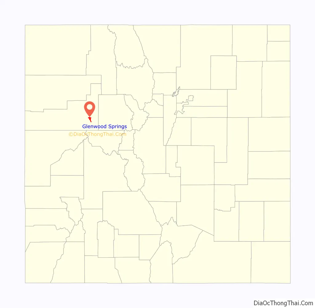
Glenwood Springs location map. Where is Glenwood Springs city?
History
For thousands of years, the area that is now Glenwood Springs was populated by Indigenous people before the colonization of the Americas. The oral history of the Kapuuta and Mouache bands recall that Glenwood Springs is located within the “traditional Nuuchiu tuvupu (The People’s Land) of the Subuagan and Parianuche bands.” Fred Conetah’s History of the Northern Utes states that the Yampa or White River bands used the area, which is now in the Ute ancestral jurisdiction. The Utes were nomadic hunter-gatherers who seasonally used the natural hot springs in the area. The U.S. government surveyed the land in the mid-19th century, although they had no claim on the land. An 1868 treaty negotiated by the Tabeguache Ute Chief Ouray preserved the hunting grounds in the area of present-day Glenwood Springs.
For a short time in the 19th century, Glenwood Springs was known as “Defiance”, a name sometimes still used by local teams or businesses. Defiance was established in 1883, as a camp of tents, saloons, and brothels with an increasing amount of cabins and lodging establishments. It was populated with gamblers, gunslingers, and prostitutes. Isaac Cooper was the founder of the town. His wife Sarah was having a hard time adjusting to the frontier life and, in an attempt to make her environment somewhat more comfortable, persuaded the founders to change the name to Glenwood Springs, Colorado, after her hometown of Glenwood, Iowa.
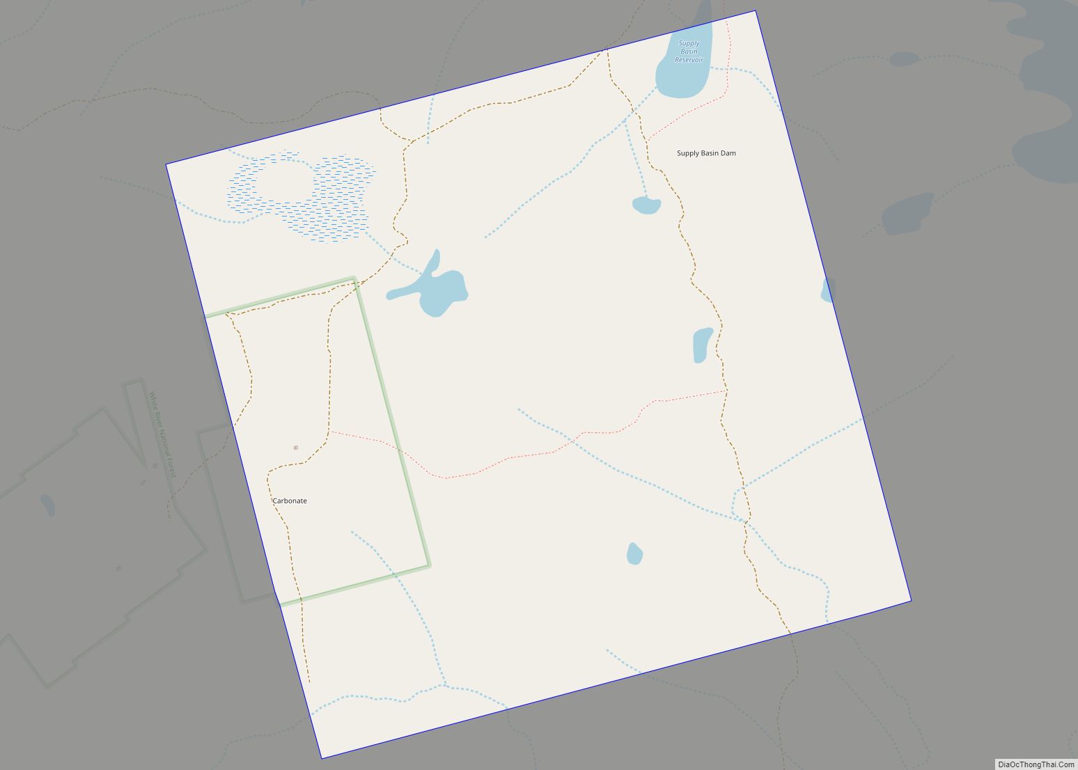
Glenwood Springs, then a small encampment, was not the original county seat of Garfield County. Rather, a larger mining town that had been seeded with silver in order to attract miners on top of the Flat Tops mountains named Carbonate was the original county seat. Carbonate briefly had a post office, but the mail courier who won the contract to deliver mail to Carbonate found only one miner living there on his first delivery, which took 65 km horizontally and 1.5 km vertically. In the end, the courier paid the miner $100 in 1880s dollars to move out so that the post office could be closed and he would not have to make the journey again. Carbonate remained the county seat for only four months before Glenwood Springs was selected by voters as the new location.
The location of Glenwood Springs, and its railroad stop, established a center of commerce in the area. The city has seen well-known visitors, including President Teddy Roosevelt, who spent a summer vacation living out of the historic Hotel Colorado. Doc Holliday, who was known for the O.K. Corral gunfight, spent the final months of his life in Glenwood Springs and is buried in the town’s original Pioneer Cemetery above Bennett Avenue. Kid Curry is buried in the same location. The serial killer Ted Bundy was imprisoned in the Glenwood Springs jail until he escaped on the night of December 30, 1977, an escape which went undetected for 17 hours.
Glenwood Springs was one of the first places in the United States to have electric lights. The original lighting was installed in 1897 inside of the Fairy Caves in Iron Mountain. Later, a dam was built in Glenwood Canyon, providing water for the Shoshone power plant. The plant began producing power on May 16, 1909, and retains the largest and oldest water rights to the Colorado River, the “Shoshone Call”, which is valuable for the protection of Colorado River water rather than the minimal electricity produced.
In 2015, the town was named the “Most Vibrant Small Town Arts Environment in the United States” by Southern Methodist University and the 5th Best Place to Live in America by Outside magazine. It was named the “Most Fun Town in America” by Rand McNally and USA Today in 2011.
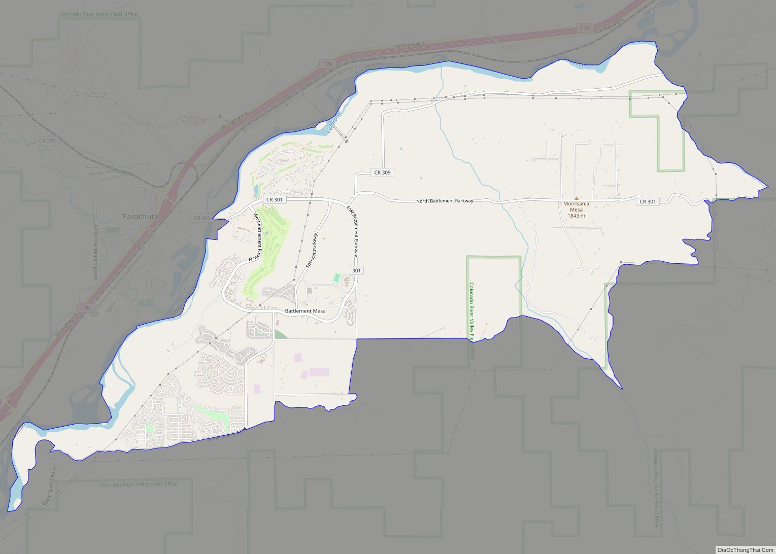
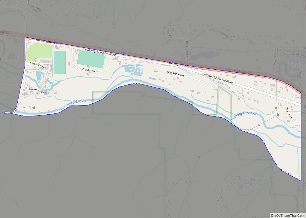
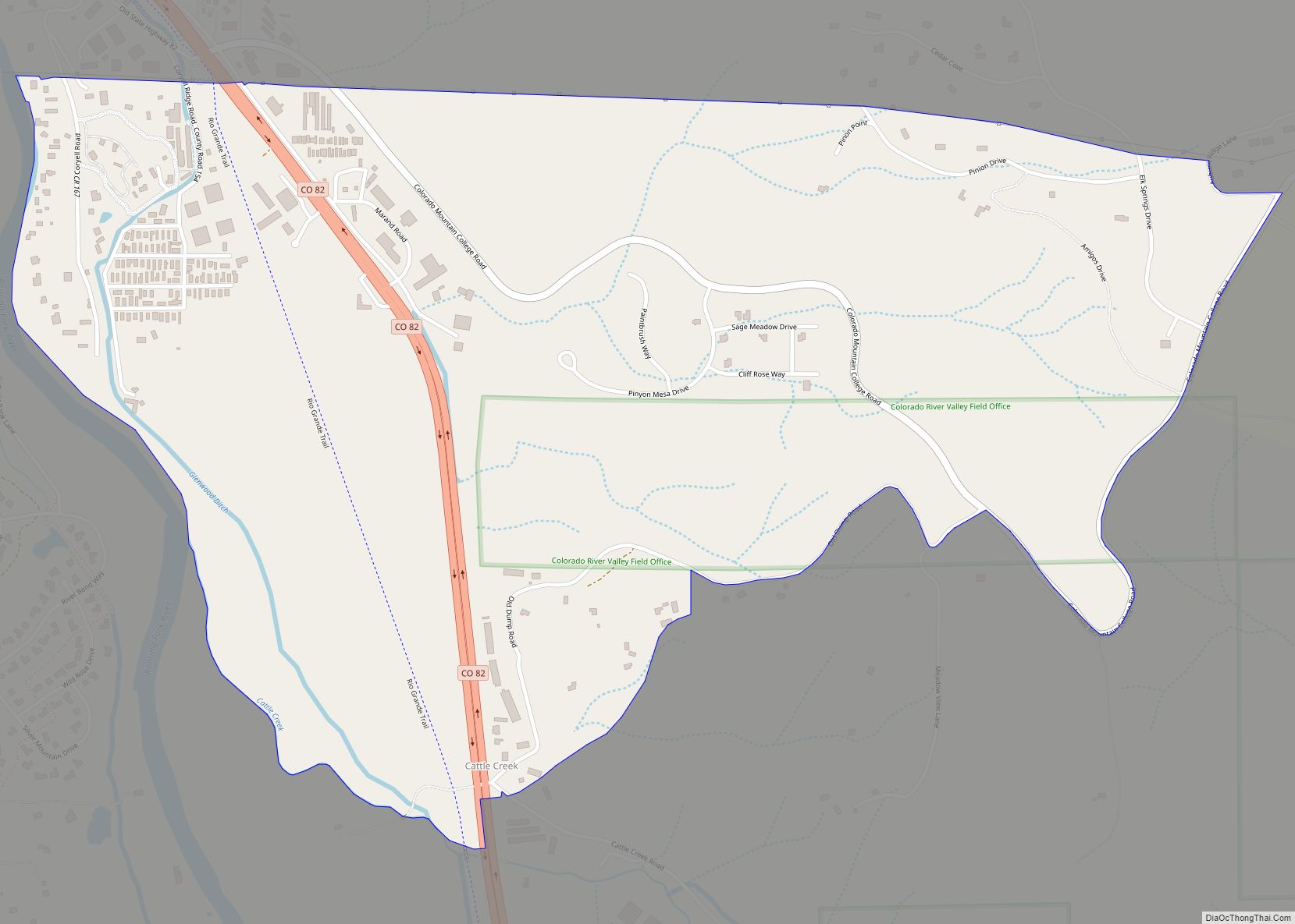
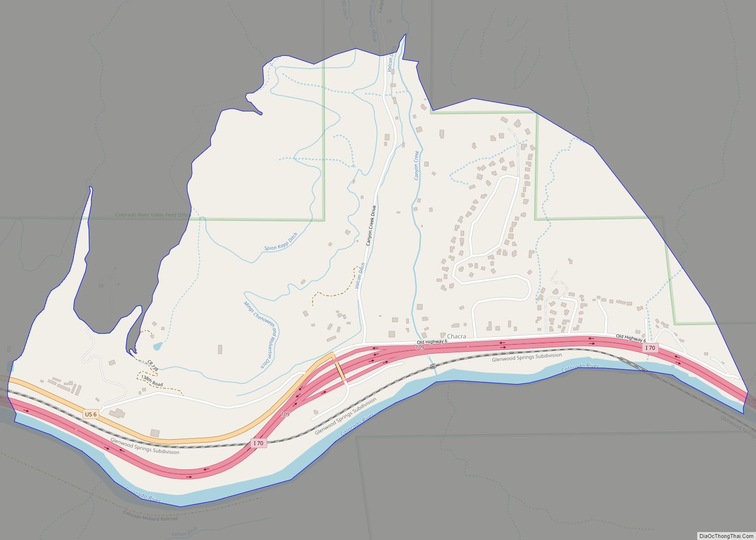
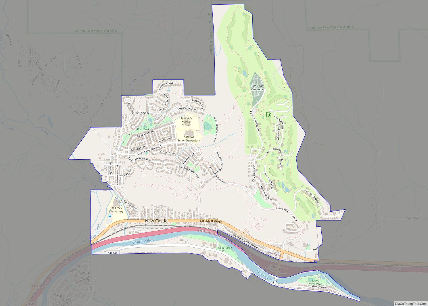
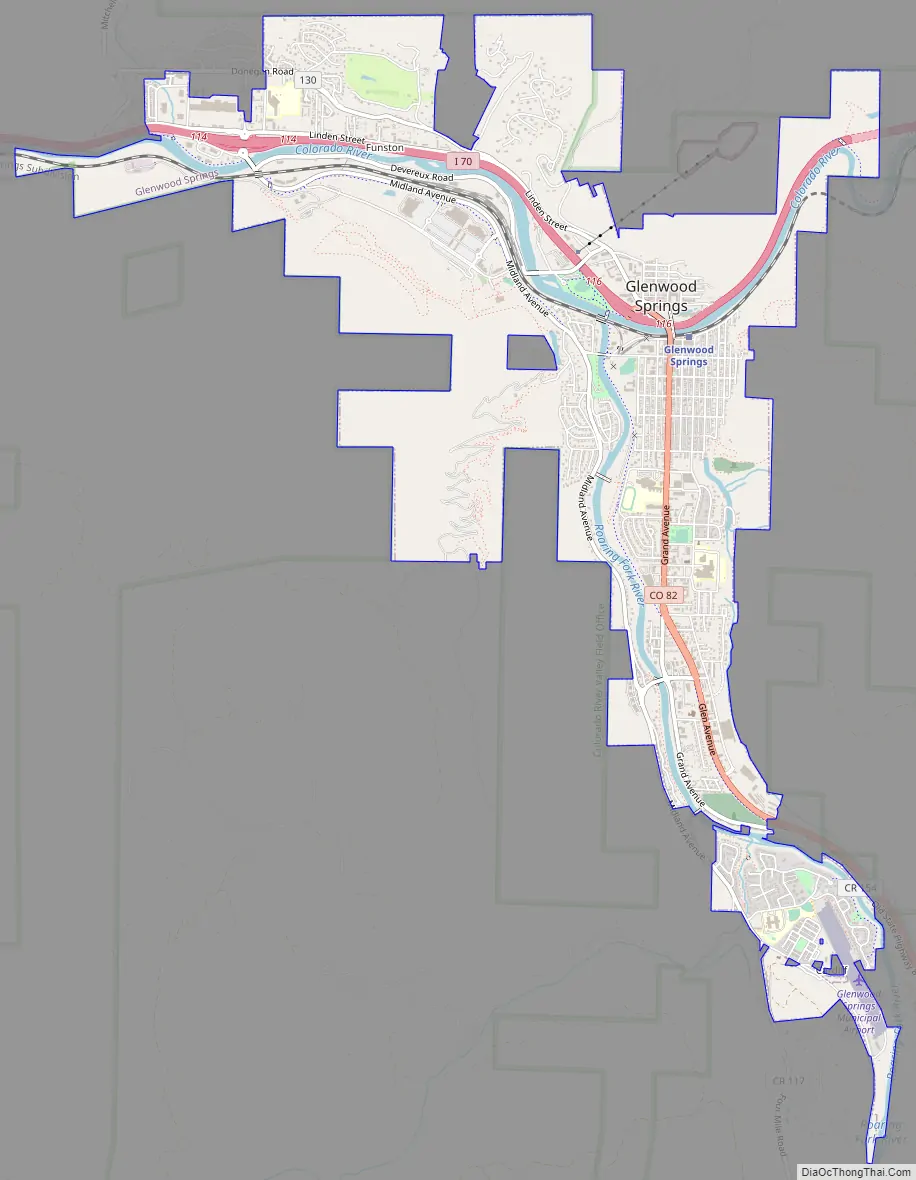
Glenwood Springs Road Map
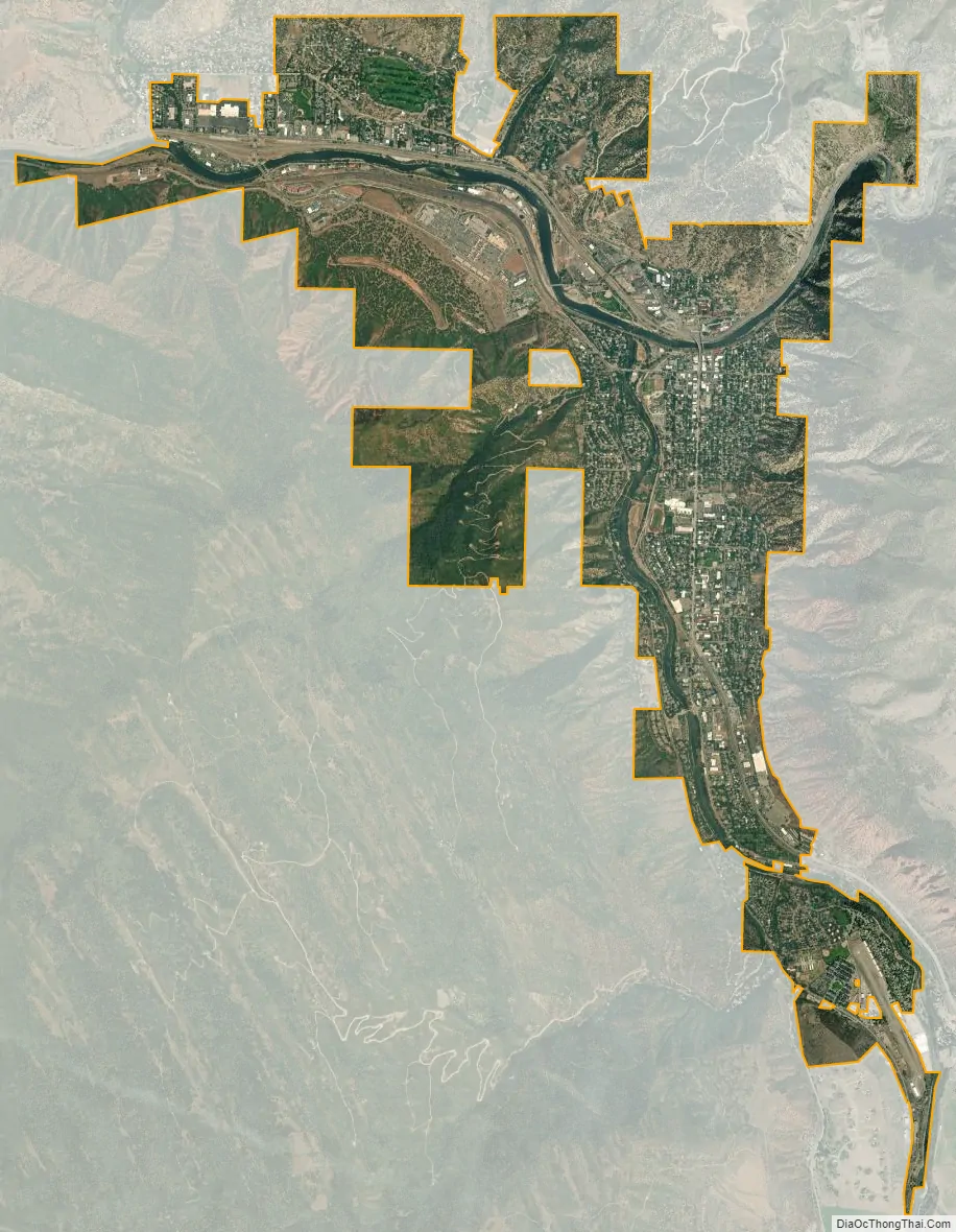
Glenwood Springs city Satellite Map
Geography
Glenwood Springs is located in the narrow mountain valleys that host the confluence of the Colorado River and the Roaring Fork River. The surrounding terrain is steeply contoured on all sides, containing several caves. The geology of the area includes geothermal activity, such as the local hot springs, but it is also evidenced through other features such as the Dotsero maar. Occasional proposals to leverage the geothermal energy for other purposes arise. Glenwood Springs has experienced several mudslides throughout its history, a threat mitigated somewhat by public works.
Glenwood Springs is considered a walkable town by PBS and Walking Magazine, including in the Walking Town Hall of Fame. Though the town’s geography makes it a natural environment for pedestrians and cyclists; there are also trails running throughout and around the city that resulted from planning efforts that began in the 1980s in response to congestion and traffic.
Due to civic planning during the early years of the city, Glenwood Springs owns some senior water rights to tributaries of the Colorado River. Glenwood Springs water supply is sufficient for its population, unlike some areas of the American West, conservation plans have been enacted anyway for largely environmental reasons. The town’s drinking water is supplied primarily through senior rights to major watersheds in the Flat Tops Wilderness Area, and the tap water is generally of safe quality.
Mineral deposits exist further up the Crystal River and in the Roaring Fork area, and petroleum resources are ample in western Garfield County, which brings tax revenue to Glenwood Springs. However, the town itself lies outside of the Colorado Mineral Belt, and there are no mineral or oil and gas sources near Glenwood Springs proper or its watersheds. While the paucity of minerals and oil was disastrous for early miners hoping to strike it rich, modern Glenwood Springs has none of the typical Colorado mountain town legacy of resource extraction, generally good air quality, water, and land. however, Valley inversions and heavy traffic to Aspen can lead to air quality problems during exceptionally cold spells of winter.
At the 2020 United States Census, the city had a total area of 3,740 acres (15.136 km) including 5.4 acres (0.022 km) of water.
Climate
Glenwood Springs has a generally continental steppe climate, much more consistently stable than that of the Front Range and most of Colorado, though still decidedly continental and prone to periods of extreme weather. Microclimates dominate Glenwood Springs, with areas close to the rivers often much more damp and cool than hillsides.
Cultivation
There is local food in the Roaring Fork Valley area.
In 1904, apples and peaches were produced in the nearby town of Silt. Glenwood Springs first hosted the Strawberry Days Festival in 1898, which is Colorado’s oldest festival and the oldest continuously held civic celebration west of the Mississippi River. In 2022, a 3-day celebration was held to commemorate the 125th year of the Strawberry Days Festival.
Nearby farms surrounding and in Glenwood Springs grow different fruit throughout the year. A ranch located in Glenwood Springs named Orchard Creek Ranch is produces Red Delicious apples.
See also
Map of Colorado State and its subdivision:- Adams
- Alamosa
- Arapahoe
- Archuleta
- Baca
- Bent
- Boulder
- Broomfield
- Chaffee
- Cheyenne
- Clear Creek
- Conejos
- Costilla
- Crowley
- Custer
- Delta
- Denver
- Dolores
- Douglas
- Eagle
- El Paso
- Elbert
- Fremont
- Garfield
- Gilpin
- Grand
- Gunnison
- Hinsdale
- Huerfano
- Jackson
- Jefferson
- Kiowa
- Kit Carson
- La Plata
- Lake
- Larimer
- Las Animas
- Lincoln
- Logan
- Mesa
- Mineral
- Moffat
- Montezuma
- Montrose
- Morgan
- Otero
- Ouray
- Park
- Phillips
- Pitkin
- Prowers
- Pueblo
- Rio Blanco
- Rio Grande
- Routt
- Saguache
- San Juan
- San Miguel
- Sedgwick
- Summit
- Teller
- Washington
- Weld
- Yuma
- Alabama
- Alaska
- Arizona
- Arkansas
- California
- Colorado
- Connecticut
- Delaware
- District of Columbia
- Florida
- Georgia
- Hawaii
- Idaho
- Illinois
- Indiana
- Iowa
- Kansas
- Kentucky
- Louisiana
- Maine
- Maryland
- Massachusetts
- Michigan
- Minnesota
- Mississippi
- Missouri
- Montana
- Nebraska
- Nevada
- New Hampshire
- New Jersey
- New Mexico
- New York
- North Carolina
- North Dakota
- Ohio
- Oklahoma
- Oregon
- Pennsylvania
- Rhode Island
- South Carolina
- South Dakota
- Tennessee
- Texas
- Utah
- Vermont
- Virginia
- Washington
- West Virginia
- Wisconsin
- Wyoming