Garfield County is a county located in the U.S. state of Colorado. As of the 2020 census, the population was 61,685. The county seat is Glenwood Springs. The county is named in honor of United States President James A. Garfield. Garfield County is included in the Glenwood Springs, CO Micropolitan Statistical Area, which is also included in the Edwards-Glenwood Springs, CO Combined Statistical Area.
| Name: | Garfield County |
|---|---|
| FIPS code: | 08-045 |
| State: | Colorado |
| Founded: | February 10, 1883 |
| Named for: | James A. Garfield |
| Seat: | Glenwood Springs |
| Largest city: | Rifle |
| Total Area: | 2,956 sq mi (7,660 km²) |
| Land Area: | 2,948 sq mi (7,640 km²) |
| Total Population: | 62,161 |
| Population Density: | 21/sq mi (8/km²) |
| Time zone: | UTC−7 (Mountain) |
| Summer Time Zone (DST): | UTC−6 (MDT) |
| Website: | www.garfield-county.com |
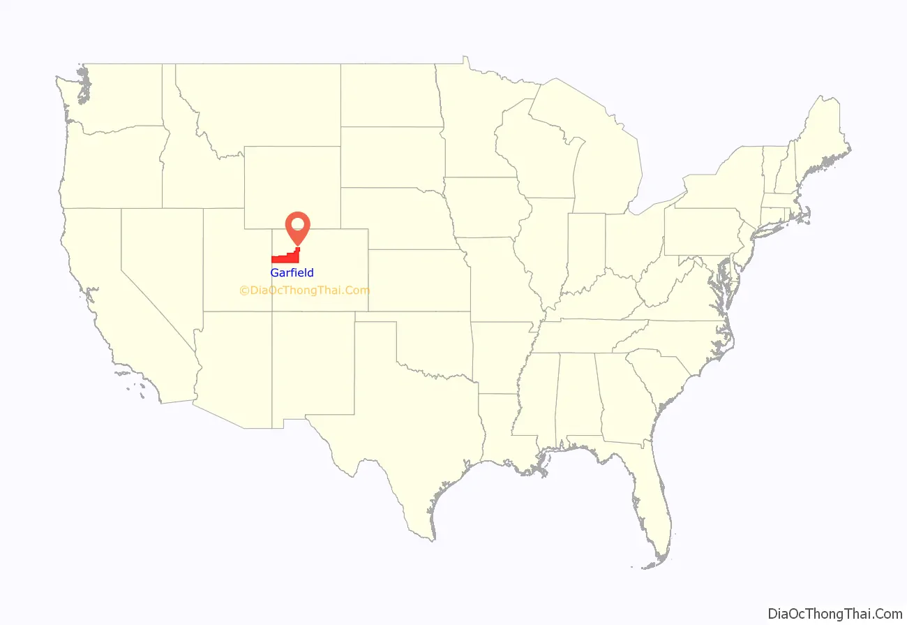
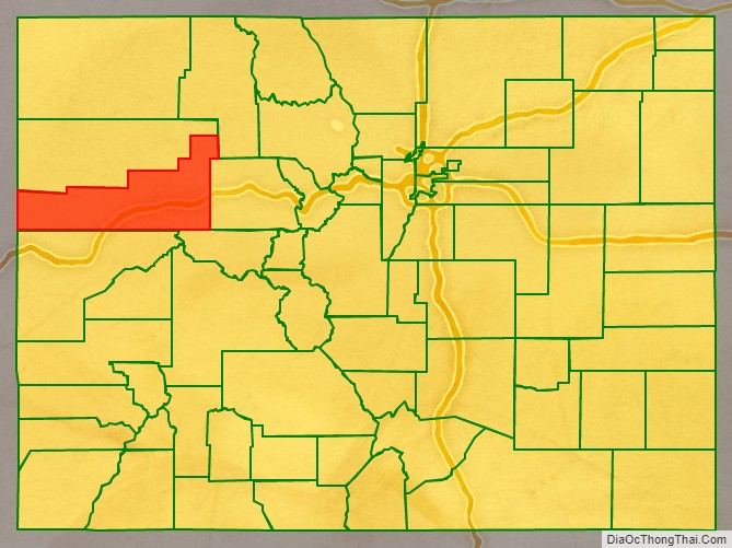
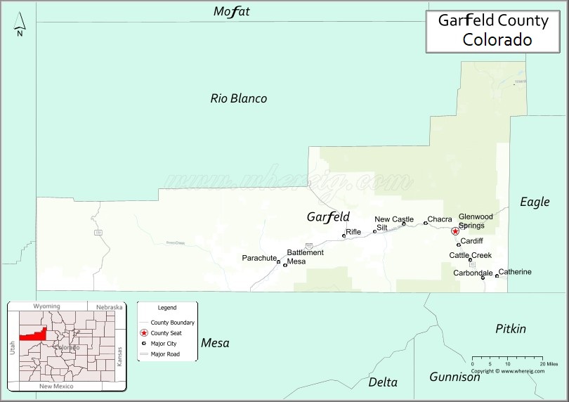
Garfield County location map. Where is Garfield County?
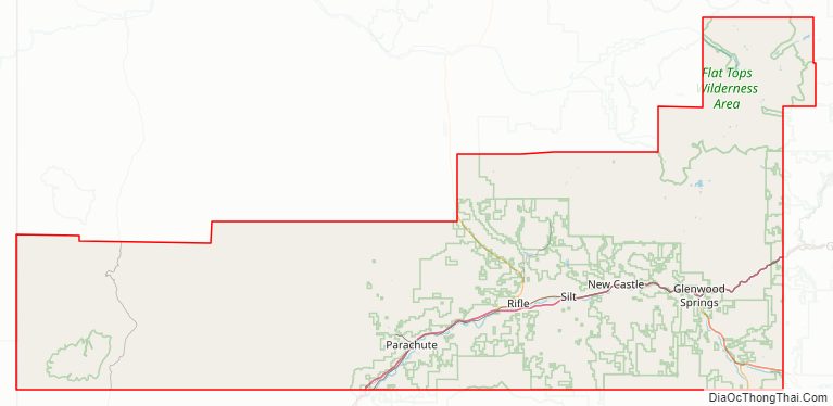
Garfield County Road Map
Geography
According to the U.S. Census Bureau, the county has a total area of 2,956 square miles (7,660 km), of which 2,948 square miles (7,640 km) is land and 8.3 square miles (21 km) (0.3%) is water.
Adjacent counties
- Rio Blanco County – north
- Routt County – northeast
- Eagle County – east
- Pitkin County – southeast
- Mesa County – south
- Grand County, Utah – southwest
- Uintah County, Utah – northwest
Major highways
- Interstate 70
- I-70 BL
- I-70 BL
- U.S. Highway 6
- State Highway 13
- State Highway 82
- State Highway 133
- State Highway 139
- State Highway 325
Protected areas
- Flat Tops Wilderness
- Grand Mesa National Forest
- Harvey Gap State Park
- Rifle Falls State Park
- Rifle Gap State Park
- Routt National Forest
- White River National Forest
Scenic byways
- Dinosaur Diamond Prehistoric Highway National Scenic Byway
- Flat Tops Trail Scenic Byway
- West Elk Loop Scenic Byway
Garfield County Topographic Map
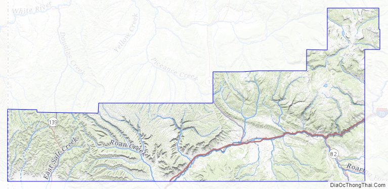
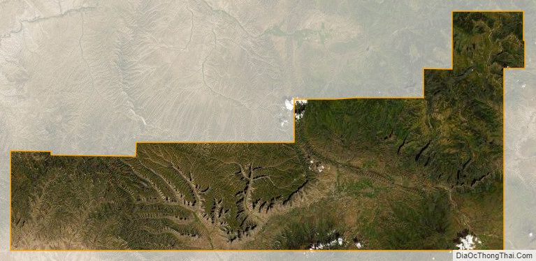
Garfield County Satellite Map
Garfield County Outline Map