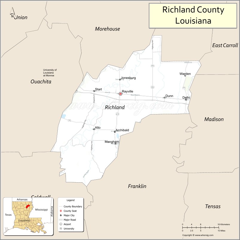
Richland Parish is a parish located in the North Louisiana Delta Country in the U.S. state of Louisiana, known for its fertile, flat farmland, cane brakes, and open spaces. The parish had a population of 20,043 at the 2020 United States Census. The name Richland was chosen due to the rich production from farming. The parish seat and largest community is Rayville.
| Name: | Richland Parish |
|---|---|
| FIPS code: | 22-083 |
| State: | Louisiana |
| Founded: | September 29, 1878 |
| Named for: | Fertile (rich) land in the area |
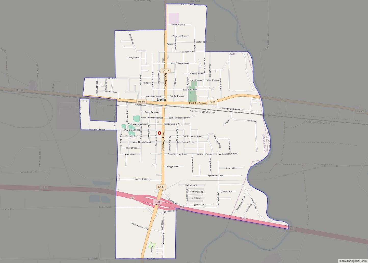
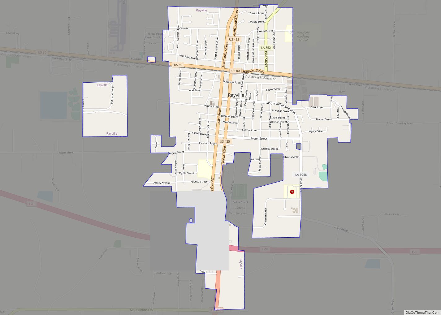
| Seat: | Rayville |
| Largest town: | Rayville |
| Total Area: | 576 sq mi (1,490 km²) |
| Land Area: | 559 sq mi (1,450 km²) |
| Total Population: | 20,043 |
| Population Density: | 35/sq mi (13/km²) |
| Time zone: | UTC−6 (Central) |
| Summer Time Zone (DST): | UTC−5 (CDT) |
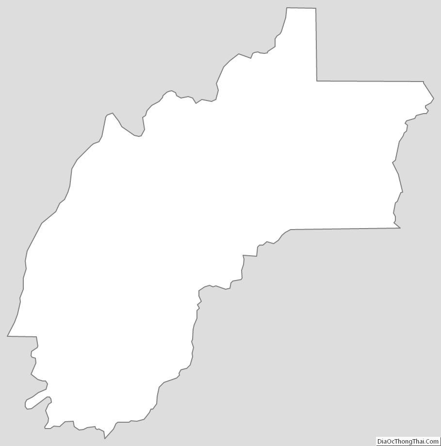
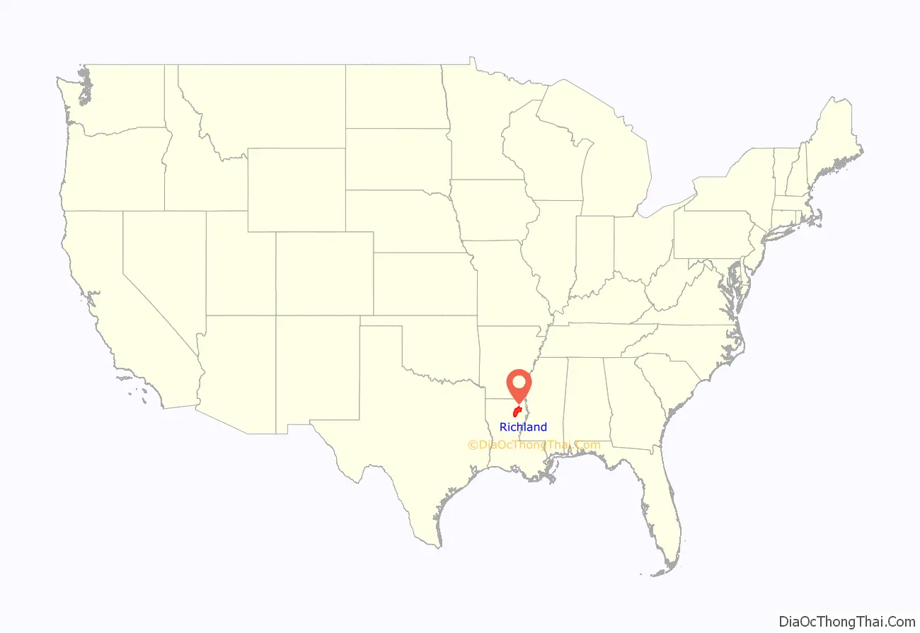
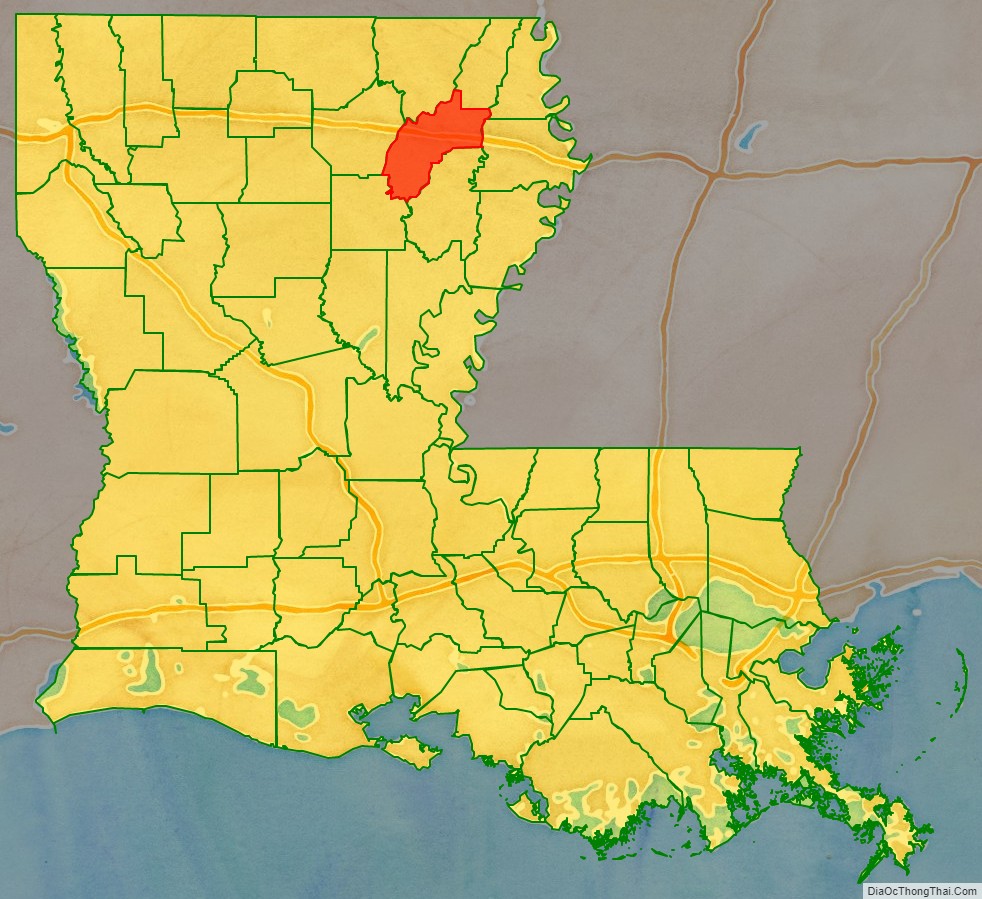
Richland Parish location map. Where is Richland Parish?
History
The parish was officially created on September 29, 1868. Rayville, Louisiana, the parish seat, was named for John Ray, a politician from Monroe with large land holdings in present-day Rayville.
Richland Parish is home to the first public parish library in the State of Louisiana, the Rhymes Memorial Library. The library was built in 1925 by the Lambda Kappa Club of Rayville. R.R. Rhymes donated the original building in memory of his wife, Nonnie Roark Rhymes.
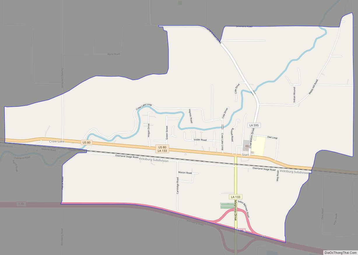
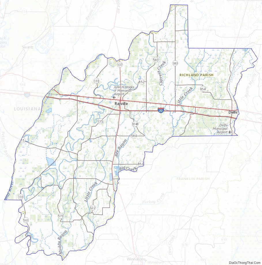
Richland Parish Road Map
Geography
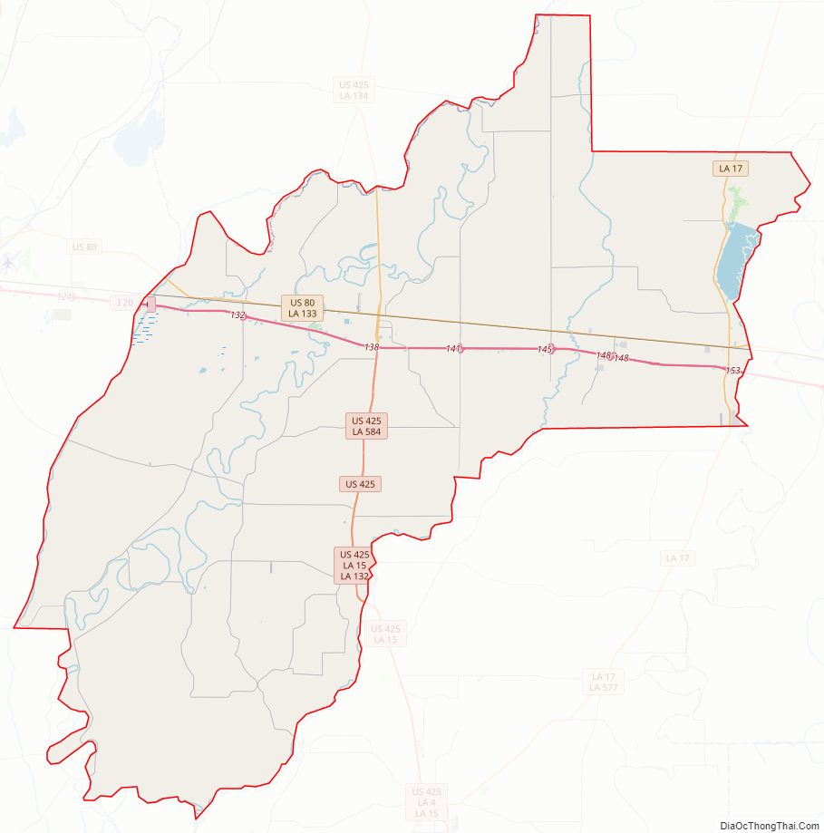
Bayou Macon flows through the western areas of Richland. Other tributaries in the parish include Crew Lake, and the Lafourche Diversion Canal are located in the western portion of the parish. Boeuf River flows from the northern end to the southern end in the center of the parish.
Adjacent parishes
- Morehouse Parish (north)
- West Carroll Parish (northeast)
- Madison Parish (east)
- Franklin Parish (south)
- Caldwell Parish (southwest)
- Ouachita Parish (west)
Parks and wildlife management areas
- Poverty Point Reservoir State Park
- Russell Sage Wildlife Management Area
- Floy Ward McElroy Wildlife Management Area
Richland Parish Topographic Map
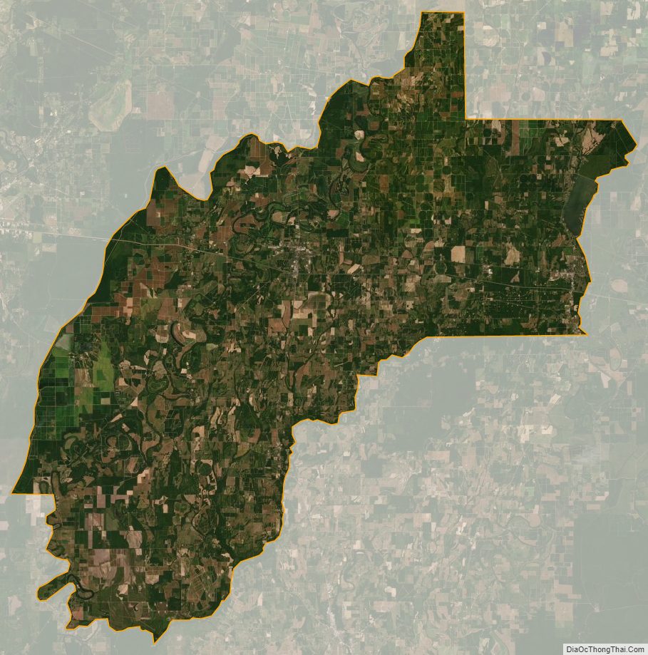
Richland Parish Satellite Map
Richland Parish Outline Map