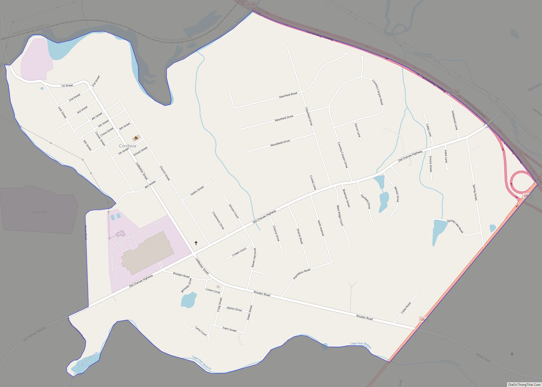
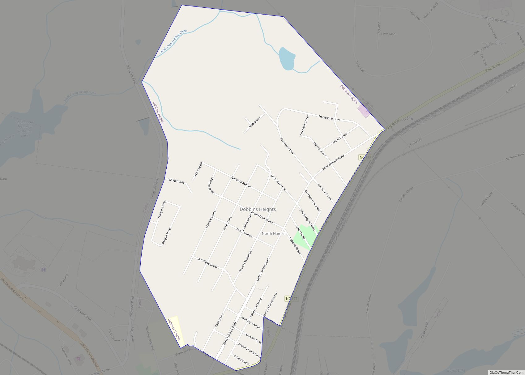
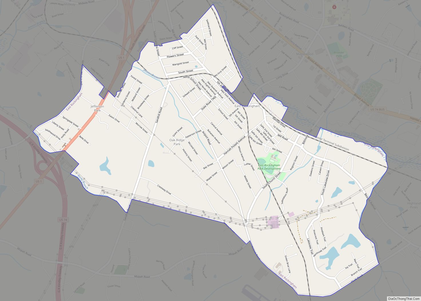
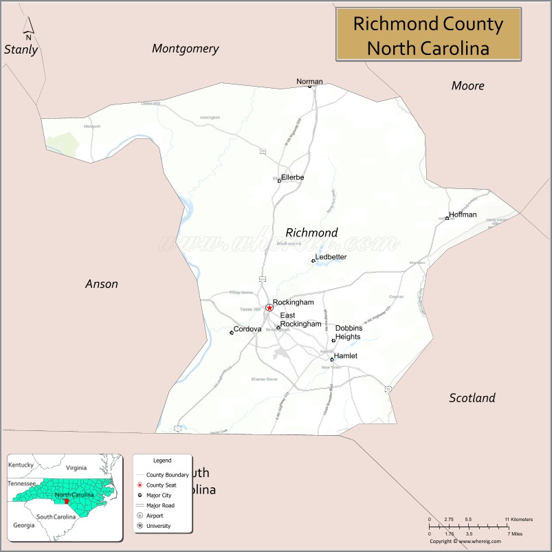
Richmond County is a county located on the central southern border of the U.S. state of North Carolina. Its county seat is Rockingham. The county was formed in 1779 from a portion of Anson County and named in honor of Charles Lennox, 3rd Duke of Richmond and Lennox. As of the 2020 census, the population was 42,946.
| Name: | Richmond County |
|---|---|
| FIPS code: | 37-153 |
| State: | North Carolina |
| Founded: | November 10, 1779 |
| Named for: | Charles Lennox, 3rd Duke of Richmond and Lennox |
| Seat: | Rockingham |
| Largest city: | Rockingham |
| Total Area: | 480 sq mi (1,200 km²) |
| Land Area: | 474 sq mi (1,230 km²) |
| Total Population: | 42,946 |
| Time zone: | UTC−5 (Eastern) |
| Summer Time Zone (DST): | UTC−4 (EDT) |
| Website: | www.richmondnc.com |
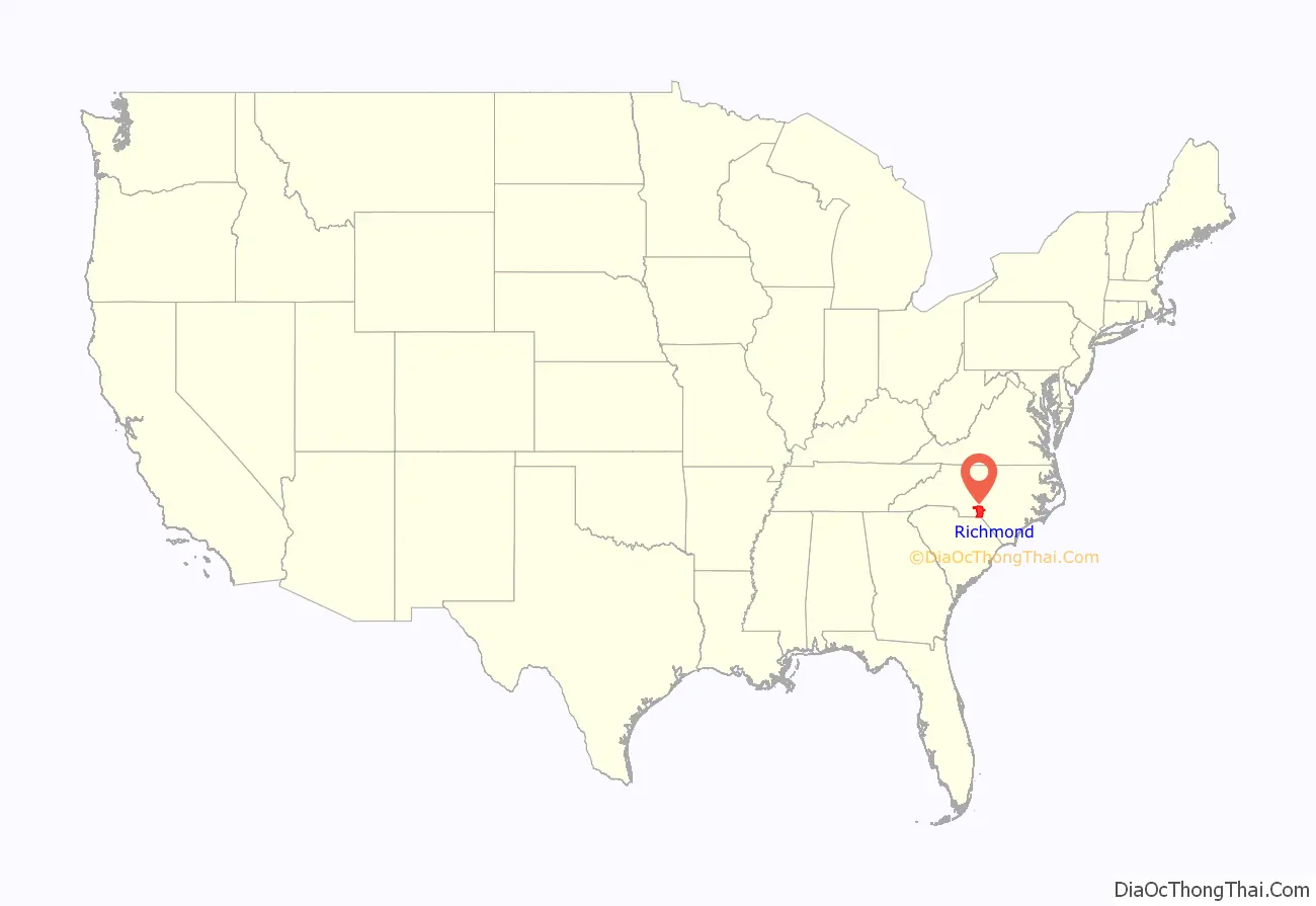
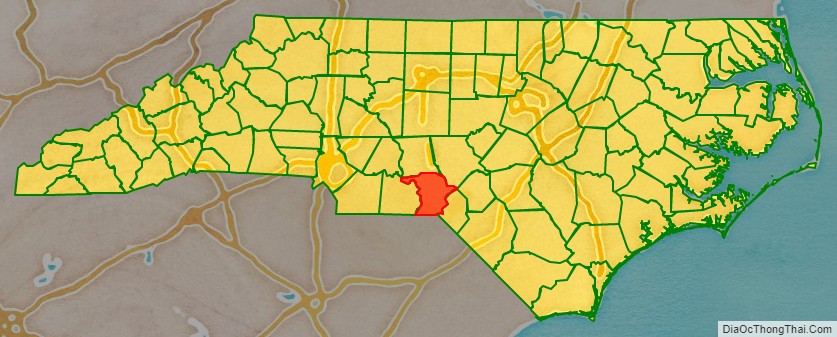
Richmond County location map. Where is Richmond County?
History
Early history
The earliest inhabitants of the land eventually comprising Richmond County were Cheraw Native Americans. The first European settlers in the area were Scottish Highlanders, who traveled up the Cape Fear River valley to find farmland. English settlers initially arrived in the northwestern section of the eventual county after traveling down the Pee Dee River and gradually became the dominant European-descent group in the area. Many early settlers reared cattle. Politically, the area was first organized as a portion of Bladen County and then eventually Anson County.
Creation and Antebellum period
Richmond County was formed in 1779 from a portion of Anson in order to reduce the amount of travel needed by residents to reach a county courthouse. It was named for Charles Lennox, 3rd Duke of Richmond and Lennox who was an Englishman and a member of the Parliament of the United Kingdom who sided with the colonists in America during the American Revolution. The county seat was established at Richmond Court House, which was renamed Rockingham in 1785 in homage to Charles Watson-Wentworth, 2nd Marquess of Rockingham, a British politician who had friendly relations with the Americans. During the American Revolutionary War, Richmond was afflicted by numerous Loyalist raids. By 1790, the county had 5,885 residents, with 583 of them being slaves.
Following the war, area farmers moved away from cattle switched to growing corn, oats, indigo, and cotton. In 1837, the county’s first textile mill, Richmond Manufacturing Company, was built. A growth in cotton production, concentrated in the western portion of the county, led the enslaved population to increase to the point where they made up half of local residents. Around 1850 the largely unused Sandhills region in the eastern section of the county began to be exploited by the naval stores industry, particularly for the harvest of turpentine from longleaf pines. Railway service was introduced in Richmond in 1861.
Civil War and Reconstruction era
During the American Civil War, white Richmond men served in various units of the Confederate States Army, including the Pee Dee Guards, Scotch Boys, and the Harrington Light Artillery. Federal troops under General William Tecumseh Sherman entered Richmond County in March 1865. Confederate troops fled, and the federal forces sabotaged local industry before moving north. The Richmond Manufacturing Company mill, having been burned, was rebuilt as the Great Falls Mill in 1869. That year rail service was extended to Rockingham. A second cotton mill was built in 1876 and rapidly followed by more textile plants. Cotton production increased after the war and remained a significant crop in the county until the mid-1900s. Farmers also began diversifying their crops, with tobacco and peach trees growing in popularity, with peach orchards being concentrated in the Sandhills.
By the late 1800s, Richmond County had a majority black population and tended to support the Republican Party in elections, while the state of North Carolina was dominated by the Democratic Party. In response to this, white Democrats built up a political base in Laurinburg. During the state legislative elections of 1898, Democrats organized intensely in the area to unseat the Fusionist coalition of state Republicans and Populists, including the deployment of paramilitary Red Shirts in Laurinburg to intimidate blacks and other opponents at the polls. Democrats regained a majority in the General Assembly. In tribute to the efforts of Democrats in Laurinburg, on February 20, 1899, the assembly split off the town and the surrounding area from Richmond County and created the new Scotland County, which began operating as an effective unit of government in December the following year.
Development
At the turn of the century, Richmond County’s economy revolved around agriculture and textile mills in Rockingham. In the early 1900s, Hamlet grew as a center for the Seaboard Air Line Railroad, which had five lines cross through the town. The railway created numerous jobs and, in conjunction with the establishment of Blewett Falls Dam and its hydroelectric power, facilitated the expansion of the textile industry. By the end of World War II, Richmond County hosted ten textile mills which employed as many as 15,000 people. Through the 1940s, most of the independent mills were acquired by larger outside corporations and many began producing non-cotton fabrics, facilitating a local decline in cotton production. Seaboard established an $11 million classification yard, the first one in the Southeastern United States, about one mile north of Hamlet in 1954. In 1968 the county, Rockingham, and Hamlet school systems merged.
Economic decline
Hamlet’s economic situation came under strain beginning in the 1960s, as the railroad faced increasing competition from growing road networks, trucking, and air travel. Seaboard acquired smaller competitors and consolidated its operations, moving workers out of the area. It also froze wages, terminated some positions, and reduced passenger services, diminishing the number of outside visitors. Seaboard became CSX Transportation in 1986. Foreign competition and increasing automation led the county textile industry to cut jobs, and by the 1970s mills in Richmond only retained about 5,000 workers. Declines in textile employment continued through the 1980s and 1990s. In 1986, the county’s single largest manufacturing employer, Clark Equipment Company, closed its plant in Rockingham. Many of the remaining available manufacturing jobs required skilled labor which the county lacked. The traditional railroad and manufacturing jobs were supplanted by menial service positions and work in food processing plants, while local small businesses were displaced by national retail chains.
In 1986, the Southeast Interstate Low-Level Radioactive Waste Management Compact voted to build a low-level radioactive waste disposal site in North Carolina. In November 1989, Chem-Nuclear Systems, the contractor in charge of constructing the disposal facility, announced a prospective Richmond County site for the nuclear waste. Local residents promptly formed For Richmond County Environment (FORRCE) to lobby against the site. The group attracted wide grassroots support across Richmond, including significant backing from both white and black communities and both of the county’s major municipalities, Hamlet and Rockingham. FORRCE conducted an opposition petition drive and obtained 26,756 signatures, over 60 percent of the county’s total population. Under significant political pressure, local officials denounced the site, and 1,200 residents traveled to Raleigh to deliver the FORRCE petition to the governor. In 1993, a state panel voted to move the site to Wake County, but listed the Richmond location as its second choice. The project was later abandoned under scrutiny from state regulators.
On September 3, 1991, a fire broke at the Imperial Food Products plant in Hamlet. Many exits at the plant were locked in violation of fire codes, and 24 workers and one visiting delivery driver died in the conflagration. Emmett J. Roe, the plant owner, was sentenced to 19 years in prison for the involuntary manslaughter. State authorities imposed a record fine upon the company for the violations and the incident brought negative national attention to the town. National declines in textiles through the 1990s and into the early 2000s further strained the county’s economy; from 1993 to 2005, the county suffered nine textile mill closures and the loss of 1,730 mill jobs. Unemployment rates worsened after the Great Recession commenced in December 2007.
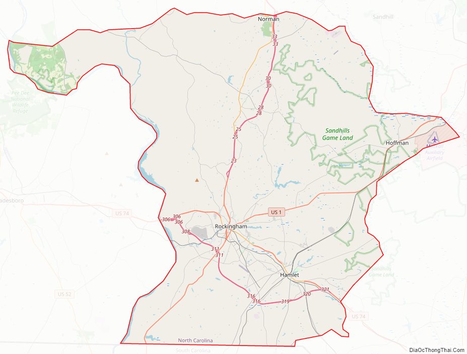
Richmond County Road Map
Geography
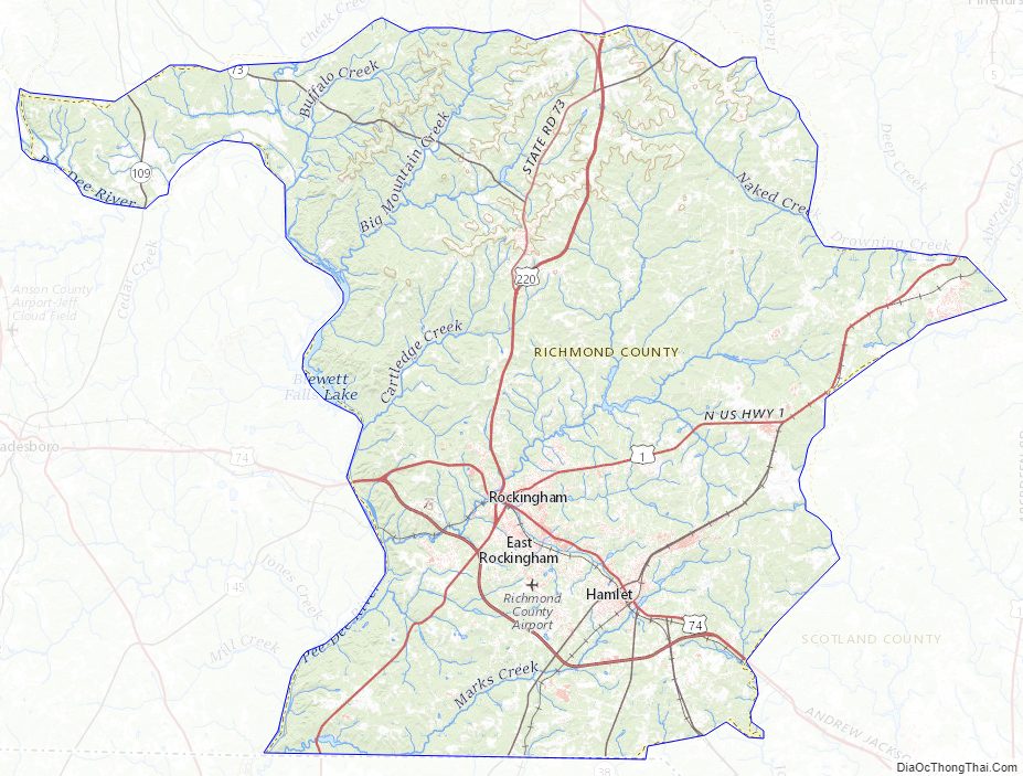
According to the U.S. Census Bureau, the county has a total area of 480 square miles (1,200 km), of which 474 square miles (1,230 km) is land and 6.1 square miles (16 km) (1.3%) is water. It is the 38th largest county in the state by land area. It is bordered by Montgomery County, Moore County, Scotland County, Anson County, and Marlboro County, South Carolina. Richmond lies along the Atlantic Seaboard Fall Line and rests at the convergence of the Piedmont, Sandhills, and Coastal Plain physiographic regions, with the Piedmont making up most of the western part of the county and the Sandhills and Coastal Plain predominating in the center and east. The Uwharrie Mountains extend along the county’s western border.
Nearly three-fourths of the county lies within the Great Pee Dee River drainage basin, with the remainder mostly draining into Drowning Creek, the headwaters of the Lumber River. The county hosts several lakes/reservoirs (like Blewett Falls Lake) and creeks. Most of the county is forested. Longleaf pine grows naturally in the area. Significant amounts of longleaf pine forest are preserved in the Sandhills Game Land protected area, over half of which is in Richmond County. Agricultural land in Richmond is home to many landbirds, including loggerhead shrike and vesper sparrow. The Pee Dee National Wildlife Refuge, which covers part of the county and includes grassland and swamps, hosts numerous migratory waterfowl and white-tailed deer.
Richmond County Topographic Map
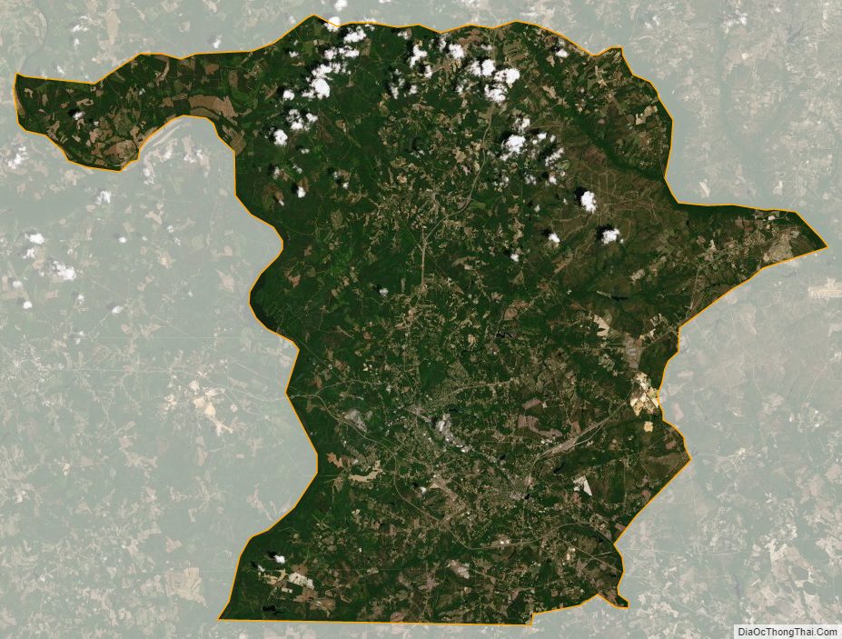
Richmond County Satellite Map
Richmond County Outline Map