Rockingham is a city in Richmond County, North Carolina, United States, named after the Marquess of Rockingham. The population was 9,558 at the 2010 census. It is the county seat of Richmond County.
The city is the home of Rockingham Speedway, formerly the North Carolina Speedway. It was a staple of the NASCAR schedule for nearly 40 years before the race was discontinued in 2004.
Downtown Rockingham is currently being revitalized as a part of a ten-year plan named “Shaping Our Future: 2023”. The city is currently experiencing an economic boom, with new businesses opening in the downtown area.
A new three-story downtown Richmond Community College campus is being constructed and is expected to be open for the 2020 fall semester; it was originally planned to open in January, but got pushed back. It is expected to draw new businesses and retailers.
As of the 2018 estimates, the area is a part of the Hamlet-Rockingham micropolitan statistical area and has a population of 22,579. The area will eventually be served by I-73/I-74, which will go west of the city. The area has many hotels, in part because beach traffic comes through this city.
| Name: | Rockingham city |
|---|---|
| LSAD Code: | 25 |
| LSAD Description: | city (suffix) |
| State: | North Carolina |
| County: | Richmond County |
| Incorporated: | 1784 |
| Elevation: | 285 ft (87 m) |
| Total Area: | 7.65 sq mi (19.82 km²) |
| Land Area: | 7.64 sq mi (19.80 km²) |
| Water Area: | 0.01 sq mi (0.03 km²) |
| Total Population: | 9,243 |
| Population Density: | 1,209.34/sq mi (466.93/km²) |
| ZIP code: | 28379-28380 |
| FIPS code: | 3757260 |
| GNISfeature ID: | 0993546 |
| Website: | www.gorockingham.com |
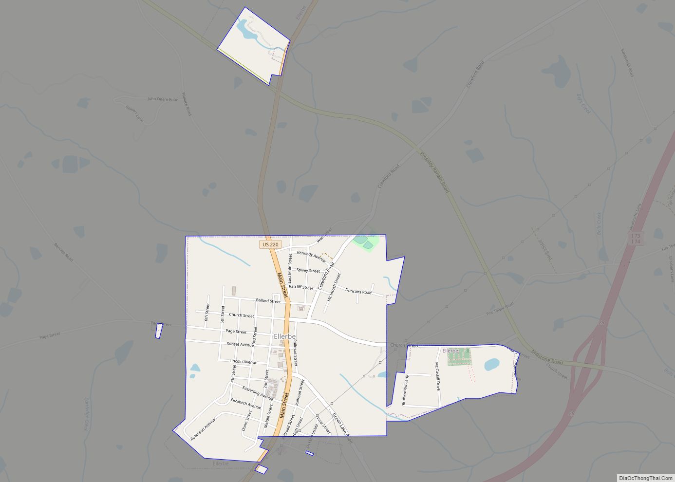
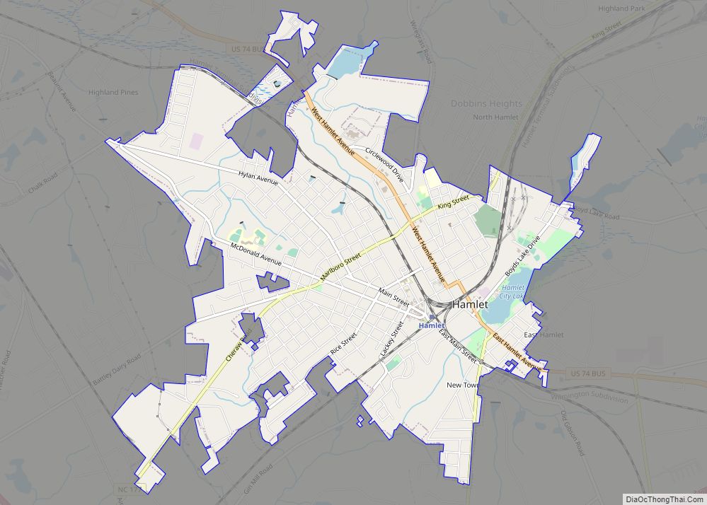
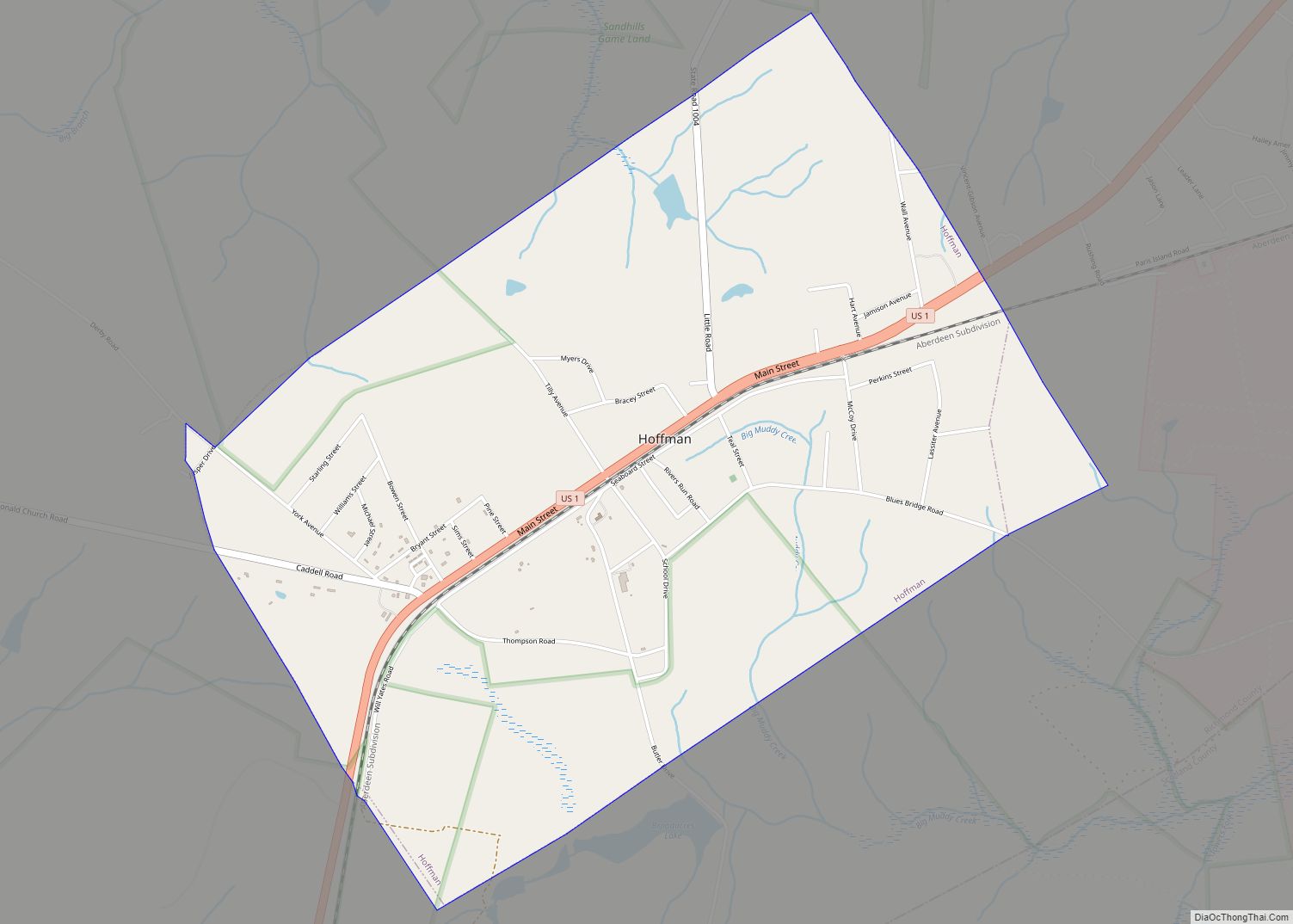
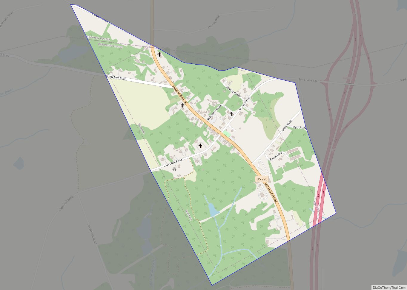
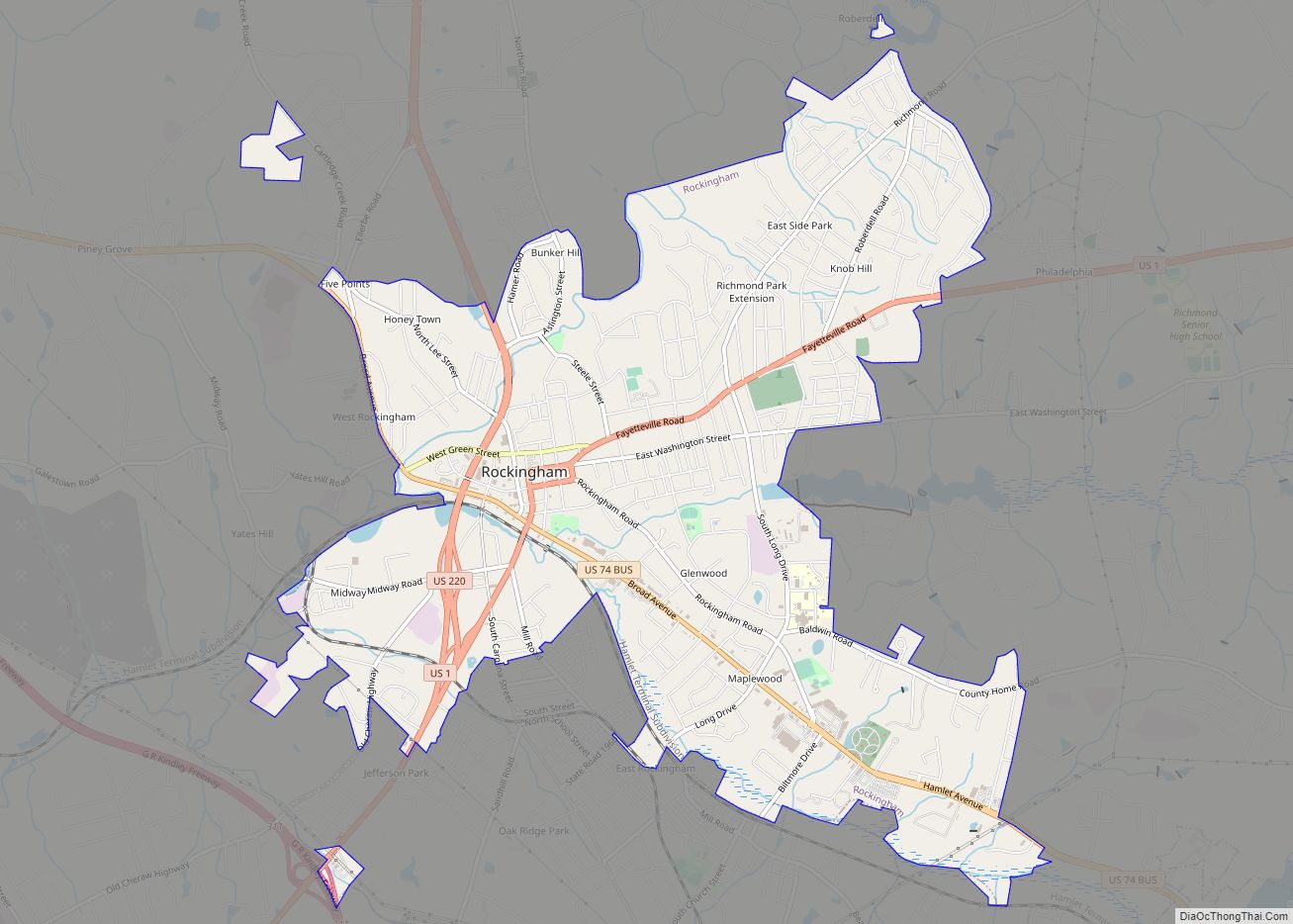
Online Interactive Map
Click on ![]() to view map in "full screen" mode.
to view map in "full screen" mode.
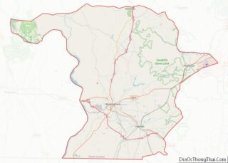
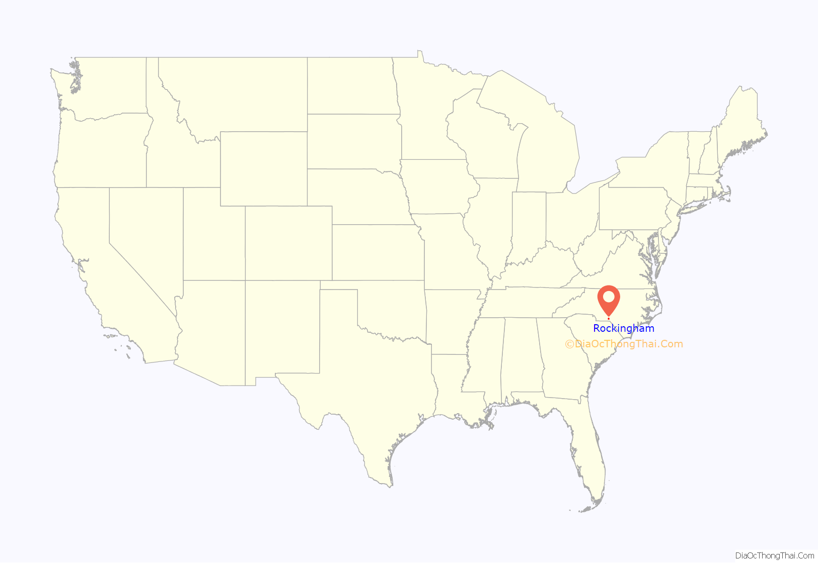
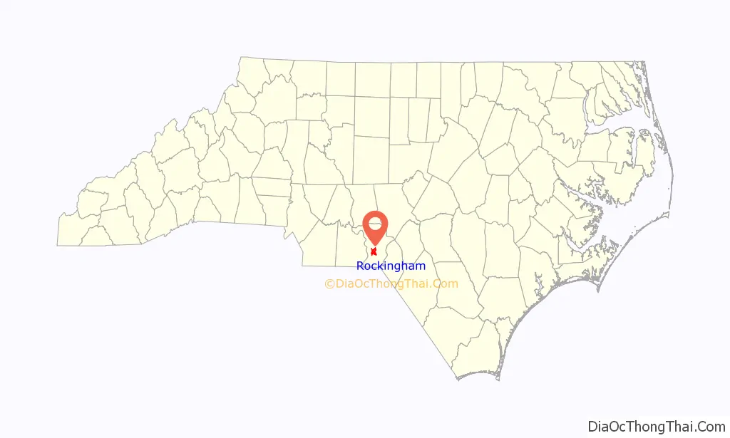
Rockingham location map. Where is Rockingham city?
History
The city was named for Charles Watson-Wentworth, 2nd Marquess of Rockingham, British Prime Minister from 1765 to 1766 and again in 1782. Rockingham’s administration was dominated by the issue of the Thirteen Colonies. Rockingham wanted to repeal the Stamp Act 1765 and won a Commons vote in 1766 on the repeal resolution by 275 to 167. As a result, he was a popular figure among British colonists in America (who would later become known simply as “Americans”). People in North Carolina were still sympathetic toward him in the years following the United States gaining independence.
During the early 19th century, numerous families from here migrated to Middle Tennessee, settling in what is now Nolensville. They quickly established their new community.
In 1950, the town fielded a professional minor league baseball team in the Class D Tobacco State League, the Rockingham Eagles. The club won the playoff title in their only season before disbanding with the entire league.
Rockingham has a number of historic buildings which have been listed on the National Register of Historic Places since the late 1970s: the Bank of Pee Dee Building, Covington Plantation House, Alfred Dockery House, Hannah Pickett Mill No. 1, Manufacturers Building, Richmond County Courthouse, Roberdel Mill No. 1 Company Store, Rockingham Historic District, U.S. Post Office and Federal Building, and H. C. Watson House.
Rockingham Road Map
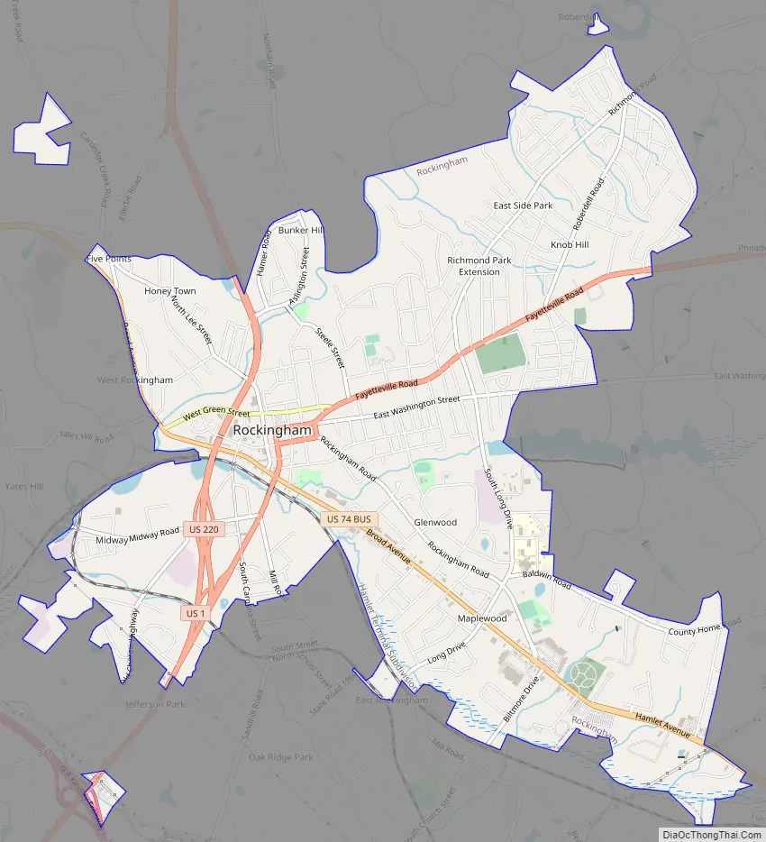
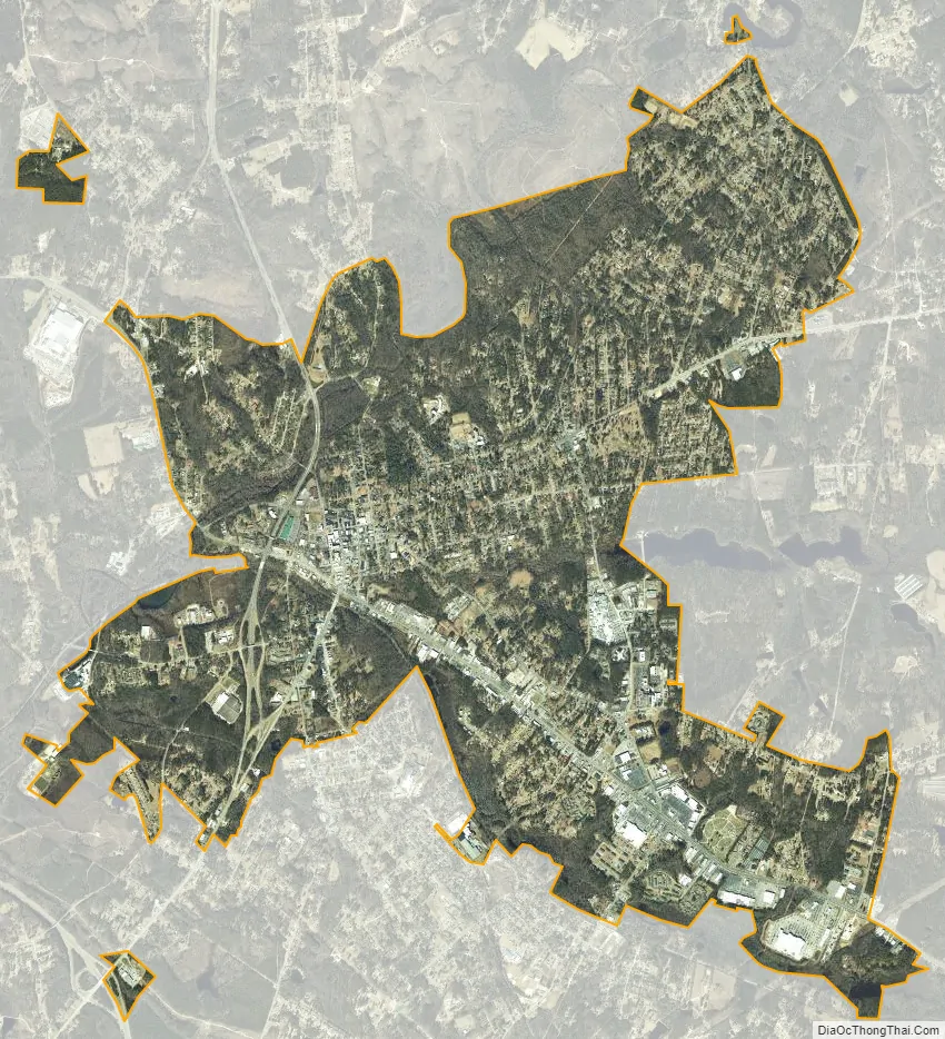
Rockingham city Satellite Map
Geography
Rockingham is located at 34°56′22″N 79°45′40″W / 34.93944°N 79.76111°W / 34.93944; -79.76111 (34.939528, -79.761236).
Rockingham is situated in the south-central North Carolina Piedmont. It is located 61 miles (98 km) west of Lumberton, 61 miles (98 km) north of Florence, 70 miles (110 km) east of Charlotte, and 83 miles (134 km) south of Greensboro.
According to the United States Census Bureau, the city has a total area of 7.3 square miles (19 km), of which 7.3 square miles (18.9 km) is land and 0.04 square miles (0.10 km) (0.41%) is water.
Urban
The Midtown business district is densely populated with stores, boutiques, clothing stores and several apartment complexes just outside the area. While not as urban as many cities in North Carolina, it is considered by the census as the urbanized area for Rockingham and Richmond County.
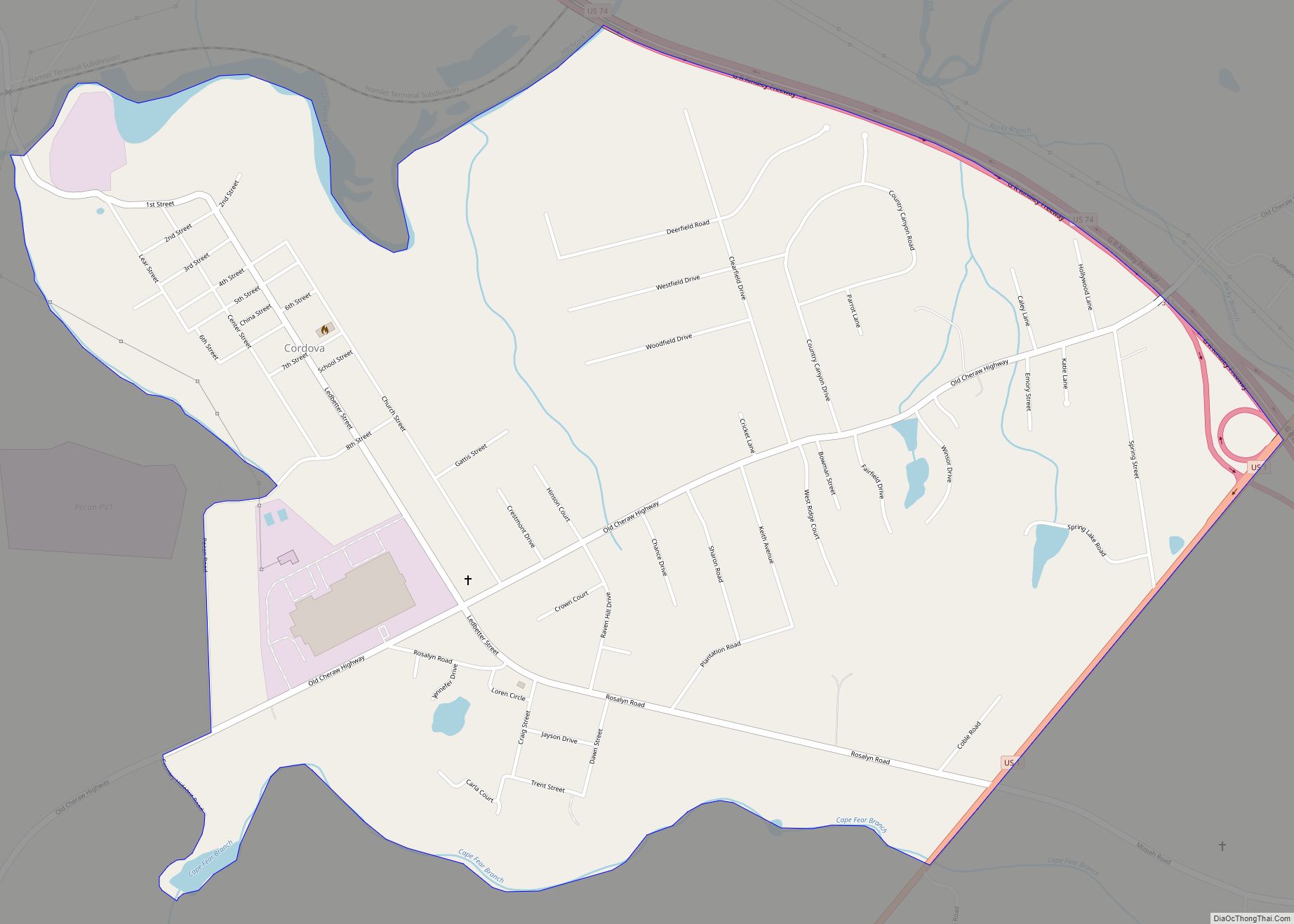
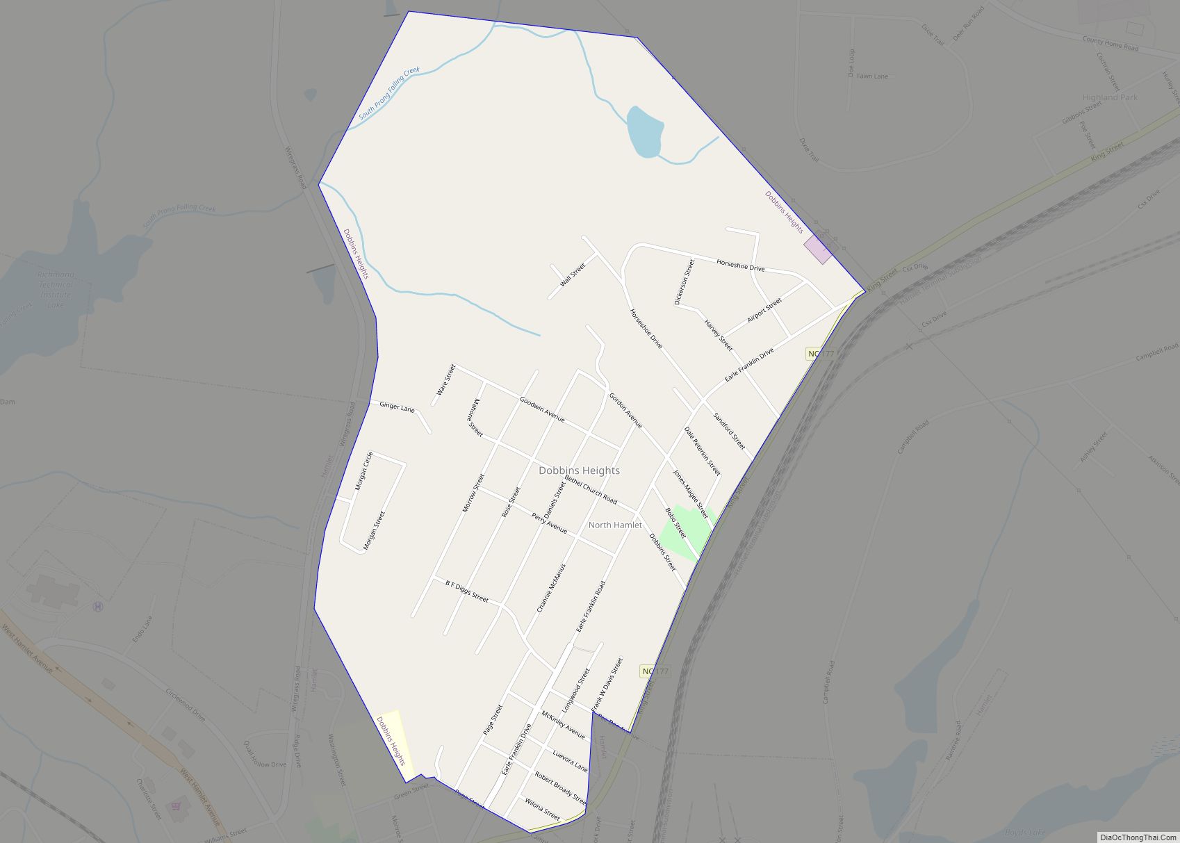
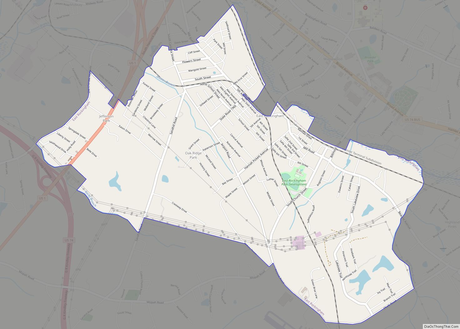
The Rockingham area is divided into various neighborhoods and suburbs; many include different socioeconomic classes. These include Cordova, Philadelphia, Ledbetter, Roberdell, East Rockingham, West Rockingham, Glenwood, Maplewood, East Side Park, and Knob Hill.
See also
Map of North Carolina State and its subdivision:- Alamance
- Alexander
- Alleghany
- Anson
- Ashe
- Avery
- Beaufort
- Bertie
- Bladen
- Brunswick
- Buncombe
- Burke
- Cabarrus
- Caldwell
- Camden
- Carteret
- Caswell
- Catawba
- Chatham
- Cherokee
- Chowan
- Clay
- Cleveland
- Columbus
- Craven
- Cumberland
- Currituck
- Dare
- Davidson
- Davie
- Duplin
- Durham
- Edgecombe
- Forsyth
- Franklin
- Gaston
- Gates
- Graham
- Granville
- Greene
- Guilford
- Halifax
- Harnett
- Haywood
- Henderson
- Hertford
- Hoke
- Hyde
- Iredell
- Jackson
- Johnston
- Jones
- Lee
- Lenoir
- Lincoln
- Macon
- Madison
- Martin
- McDowell
- Mecklenburg
- Mitchell
- Montgomery
- Moore
- Nash
- New Hanover
- Northampton
- Onslow
- Orange
- Pamlico
- Pasquotank
- Pender
- Perquimans
- Person
- Pitt
- Polk
- Randolph
- Richmond
- Robeson
- Rockingham
- Rowan
- Rutherford
- Sampson
- Scotland
- Stanly
- Stokes
- Surry
- Swain
- Transylvania
- Tyrrell
- Union
- Vance
- Wake
- Warren
- Washington
- Watauga
- Wayne
- Wilkes
- Wilson
- Yadkin
- Yancey
- Alabama
- Alaska
- Arizona
- Arkansas
- California
- Colorado
- Connecticut
- Delaware
- District of Columbia
- Florida
- Georgia
- Hawaii
- Idaho
- Illinois
- Indiana
- Iowa
- Kansas
- Kentucky
- Louisiana
- Maine
- Maryland
- Massachusetts
- Michigan
- Minnesota
- Mississippi
- Missouri
- Montana
- Nebraska
- Nevada
- New Hampshire
- New Jersey
- New Mexico
- New York
- North Carolina
- North Dakota
- Ohio
- Oklahoma
- Oregon
- Pennsylvania
- Rhode Island
- South Carolina
- South Dakota
- Tennessee
- Texas
- Utah
- Vermont
- Virginia
- Washington
- West Virginia
- Wisconsin
- Wyoming