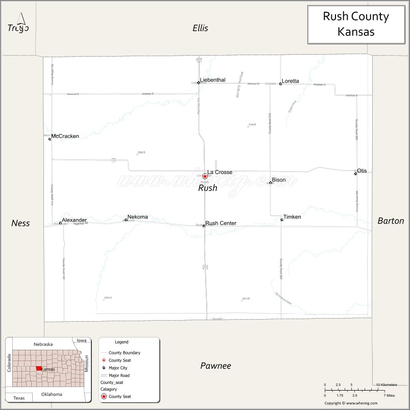
Rush County (standard abbreviation: RH) is a county located in the U.S. state of Kansas. As of the 2020 census, the county population was 2,956. The largest city and county seat is La Crosse.
| Name: | Rush County |
|---|---|
| FIPS code: | 20-165 |
| State: | Kansas |
| Founded: | February 26, 1867 |
| Named for: | Alexander Rush |
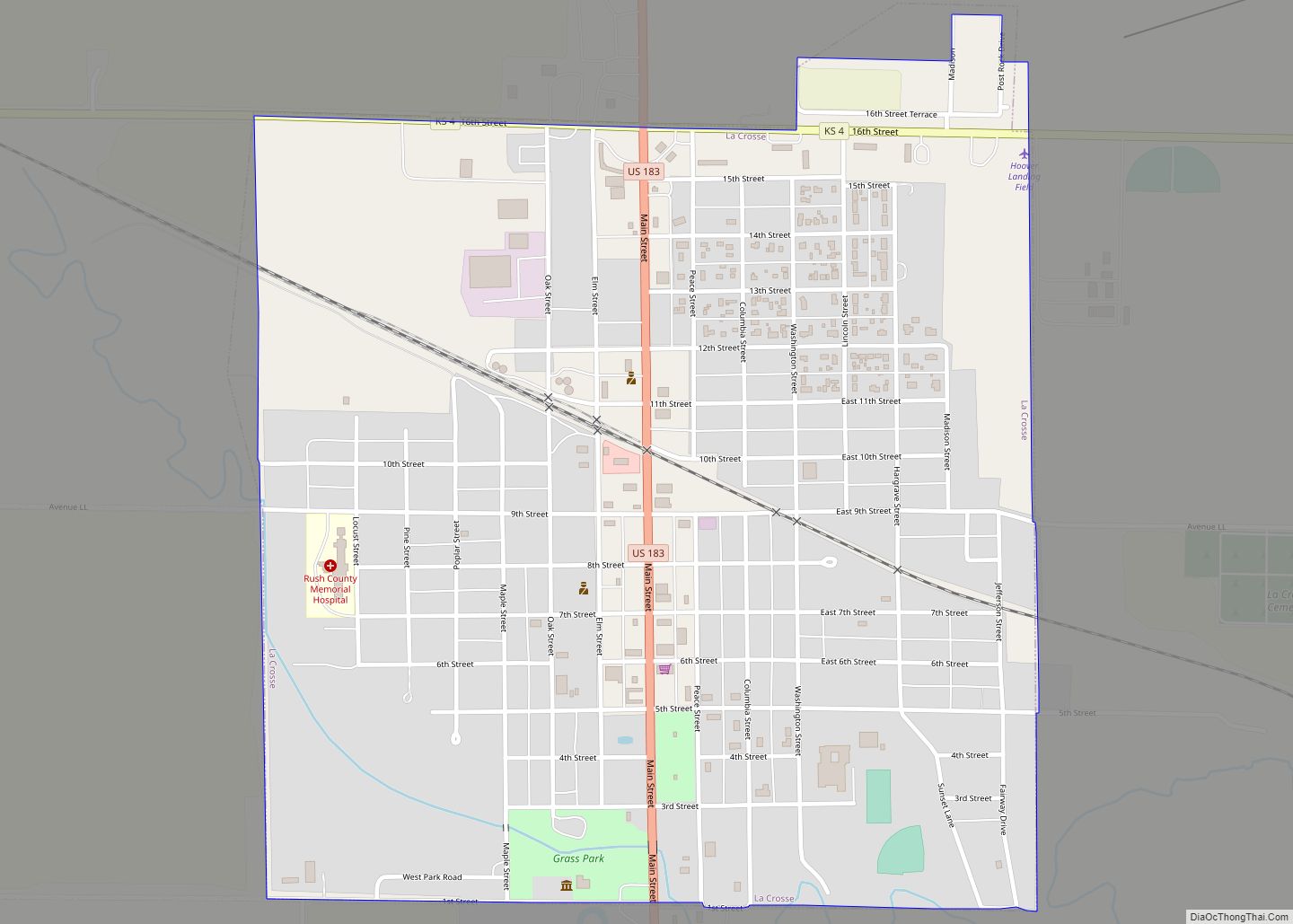
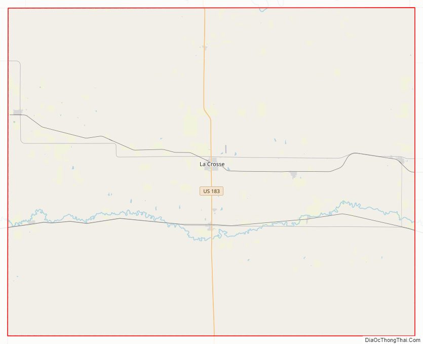
| Seat: | La Crosse |
| Largest city: | La Crosse |
| Total Area: | 718 sq mi (1,860 km²) |
| Land Area: | 718 sq mi (1,860 km²) |
| Total Population: | 2,956 |
| Population Density: | 4.1/sq mi (1.6/km²) |
| Time zone: | UTC−6 (Central) |
| Summer Time Zone (DST): | UTC−5 (CDT) |
| Website: | rushcountykansas.org |
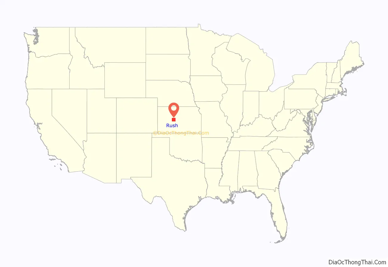
Rush County location map. Where is Rush County?
History
Early history
For many millennia, the Great Plains of North America was inhabited by nomadic Native Americans. From the 16th century to 18th century, the Kingdom of France claimed ownership of large parts of North America. In 1762, after the French and Indian War, France secretly ceded New France to Spain, per the Treaty of Fontainebleau.
19th century
In 1802, Spain returned most of the land to France, but keeping title to about 7,500 square miles. In 1803, most of the land for modern day Kansas was acquired by the United States from France as part of the 828,000 square mile Louisiana Purchase for 2.83 cents per acre.
In 1854, the Kansas Territory was organized, then in 1861 Kansas became the 34th U.S. state. In 1867, Rush County was established. Rush County was organized on December 5, 1874. There was a county seat struggle between La Crosse and Rush Center lasting 10 years until La Crosse finally became the county seat.
20th century
The first county fair was held in 1910 south of Rush Center.
21st century
In 2015, the “Alexander Wind Farm” was constructed south of Alexander. It cost about $85 million and generates 48 megawatts of power.
Rush County Road Map
Geography
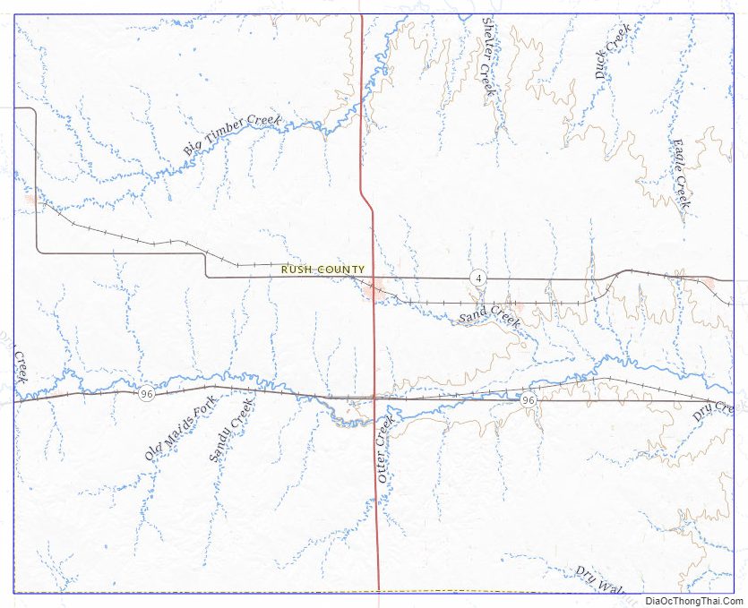
According to the U.S. Census Bureau, the county has a total area of 718 square miles (1,860 km), of which 718 square miles (1,860 km) is land and 0.2 square miles (0.52 km) (0.03%) is water.
It is intersected by Walnut Creek, a tributary of the Arkansas River, and watered by other streams.
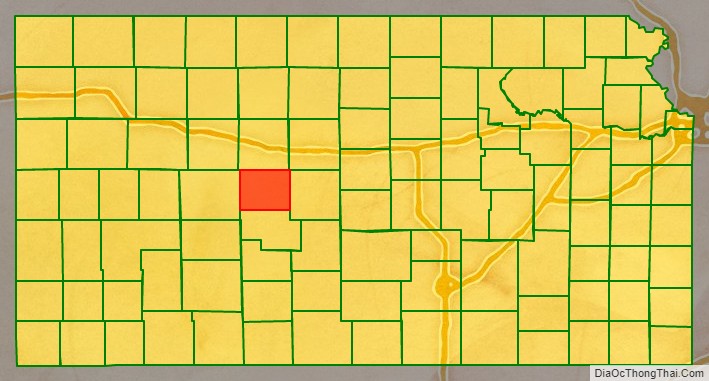
Adjacent counties
- Ellis County (north)
- Russell County (northeast)
- Barton County (east)
- Pawnee County (south)
- Ness County (west)
Rush County Topographic Map
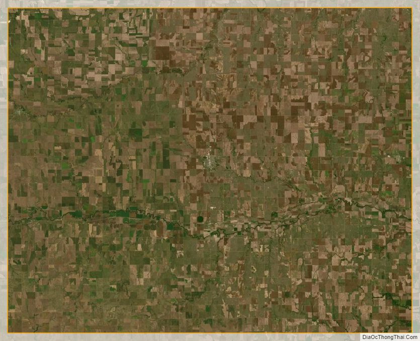
Rush County Satellite Map
Rush County Outline Map