Rutland County is a county located in the U.S. state of Vermont. As of the 2020 census, the population was 60,572, making it the second-most populous county in Vermont. Its county seat and most populous municipality is the city of Rutland.
| Name: | Rutland County |
|---|---|
| FIPS code: | 50-021 |
| State: | Vermont |
| Founded: | 1781 |
| Named for: | Rutland, Massachusetts |
| Largest city: | Rutland |
| Total Area: | 945 sq mi (2,450 km²) |
| Land Area: | 930 sq mi (2,400 km²) |
| Total Population: | 60,572 |
| Population Density: | 64/sq mi (25/km²) |
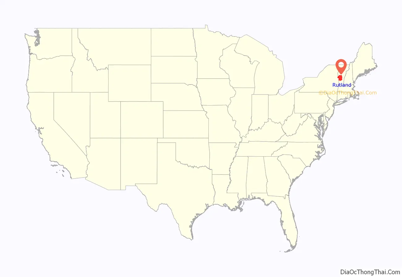
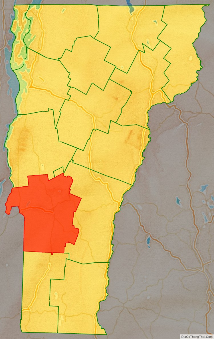
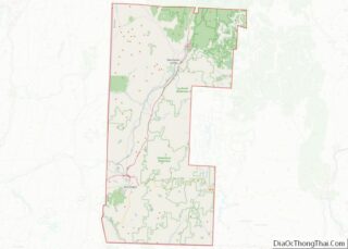
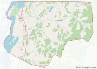
Rutland County location map. Where is Rutland County?
History
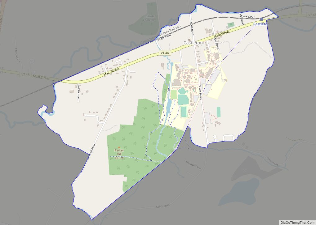
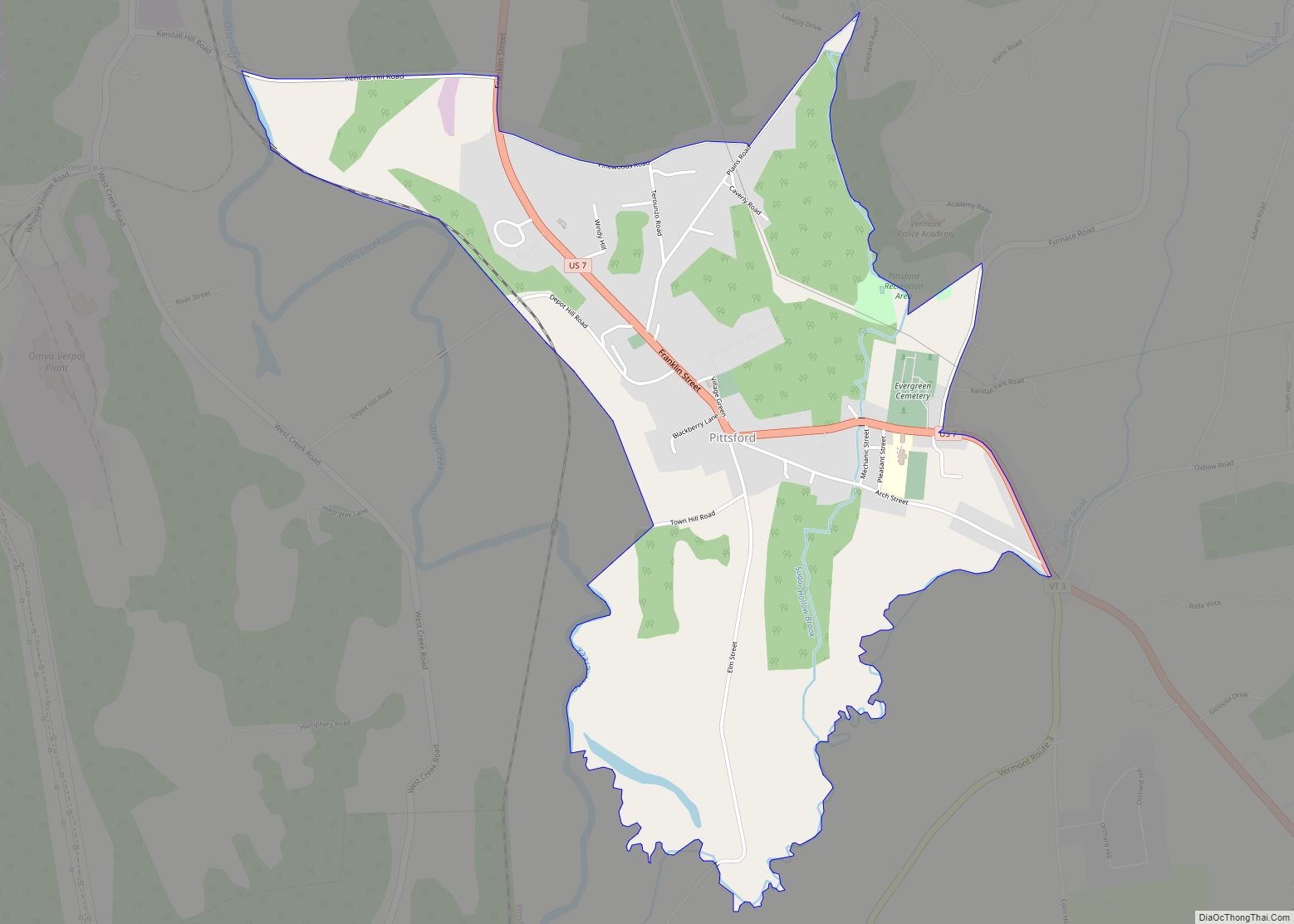
During the Revolutionary War there were a number of forts and roads that went through the area now known as Rutland County. In Castleton there was Fort Warren and a possible fort at Hydeville. In Pittsford there was Fort Vengeance and Fort Mott. And in Rutland there was Fort Ranger. The Hubbardton Military Road was a road built in 1775 for the American Revolution that went through the modern day towns of Benson, Hubbardton and Castleton. The Crown Point Road (which was built in 1759 and used until 1783) goes through the modern day towns of Whiting, Sudbury, Hubbardton, Castleton, Ira, Rutland, Clarendon, Shrewsbury, Wallingford and Mount Holly and extended all the way to Fort at Number 4, Charlestown, New Hampshire.
On February 16, 1781, Rutland County was created from Bennington County. From June 26, 1781, until February 23, 1782, Vermont attempted to annex part of New York east of the Hudson River (the so-called West Union); inhabitants in the area favored Vermont’s township form of government, while Vermont hoped to gain bargaining power through expansion. New York did not lose control of the area. For almost seven months Rutland County included part of Charlotte County (now Washington County), New York.
In February 1783 Orange County gained the towns of Brookfield and Randolph and Windsor County gained the towns of Bethel and Rochester from Rutland. On October 18, 1785 Addison County was created from Rutland.
On February 27, 1787, Windsor County gained the town of Stockbridge from Rutland, then on October 31, 1792, Rutland gained from Windsor County when the town of Mount Holly was created from Jackson’s Gore and the towns of Ludlow and Wallingford. Windsor County gained Benton’s Gore from Rutland on March 2, 1797.
On October 25, 1805, Rutland County gained from Bennington County when the town of Mount Tabor gained from the town of Peru. On October 29, 1806, Windsor County gained from Rutland County when the town of Rochester gained a small area from the town of Pittsfield. On November 15, 1813, the county gained from Windsor County when the town of Pittsfield gained a small area from the town of Stockbridge, a change too small to appear on maps. On November 9, 1814 Addison County gained from Rutland County when the town of Goshen gained from the town of Philadelphia. On October 22, 1822, the county gained from Windsor County when the town of Pittsfield gained a small area from the town of Stockbridge. On November 3, 1823, it gained from Windsor County again when the town of Shrewsbury gained a small area from the town of Plymouth. On November 15, 1824, Windsor County gained from Rutland County when the town of Rochester gained a small area from the town of Pittsfield. On November 17, 1825, Bennington County gained from the county when the town of Dorset gained a small area from the town of Mount Tabor.
On November 7, 1839, the Legislature authorized Addison County to gain a small area from Rutland County when the town of Whiting was to gain from the town of Orwell. But there is no evidence that a change took effect. Addison County gained the town of Orwell from Rutland County on December 1, 1847. On March 6, 1855, Addison County gained another small area from the county when the town of Goshen gained “Clemens Land” from the town of Brandon.
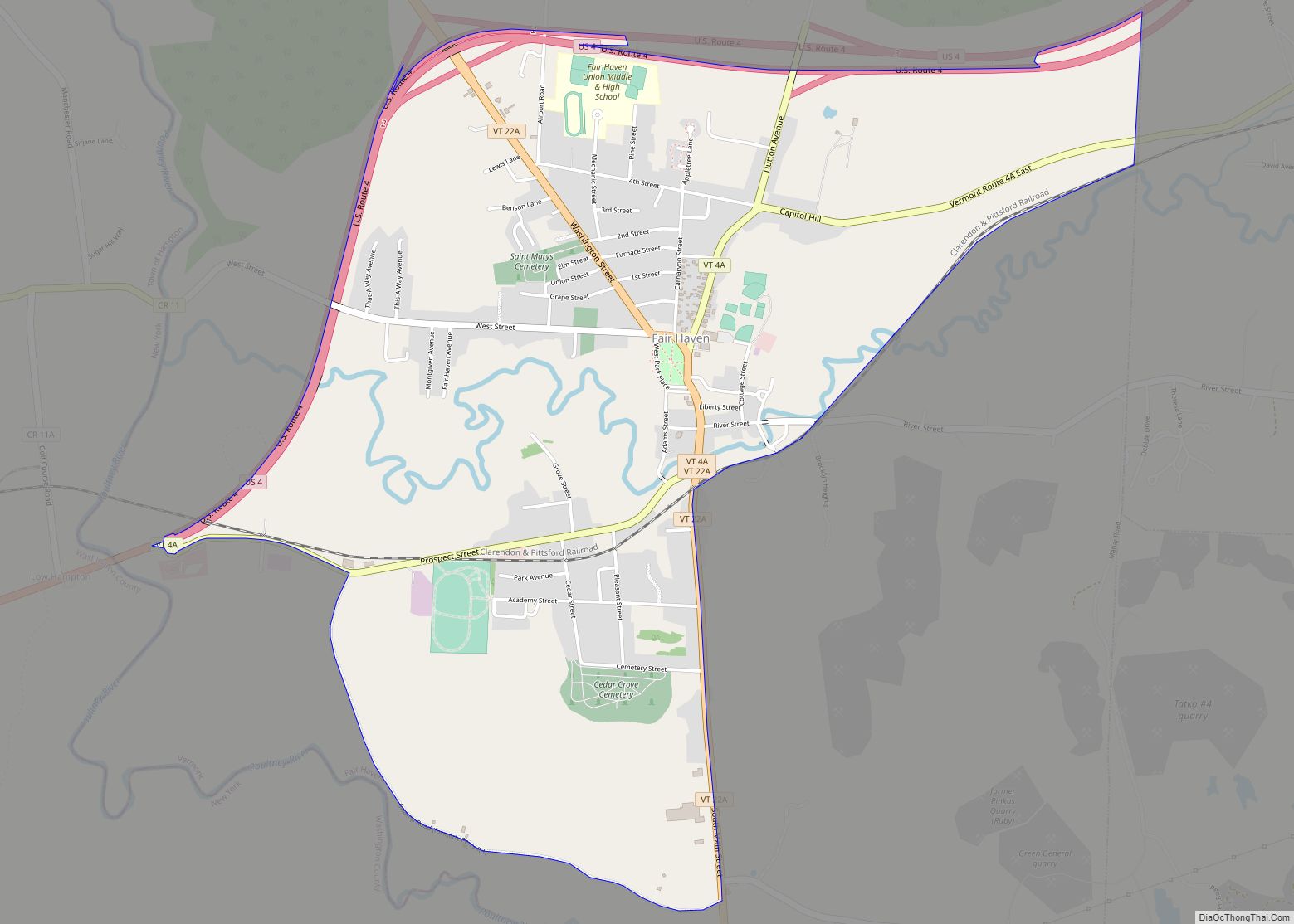
On November 10, 1870, the Legislature authorized Rutland County to gain a small area from Windsor County when the town of Mount Holly was to gain from the town of Weston. But there is no evidence that the change took effect. On April 7, 1880, the county lost to Washington County, New York, when New York gained a small area west of the village of Fair Haven from Vermont due to a change in the course of the Poultney River, a change too small to see on most maps. On November 21, 1884, Windsor County gained a small area from Rutland County when the town of Stockbridge gained Parker’s Gore. On October 8, 1895, Windsor County gained from the county when the town of Weston gained from the town of Mount Tabor.
The county experienced the first outbreak of polio in the United States in 1894. Within weeks, 132 persons, mostly children, were paralyzed. An additional 18 had died.
Rutland County Road Map
Geography
According to the U.S. Census Bureau, the county has a total area of 945 square miles (2,450 km), of which 930 square miles (2,400 km) is land and 15 square miles (39 km) (1.6%) is water. It is the second-largest county in Vermont by area. The primary stream of the county is Otter Creek, which runs through the county from the south to the north.
Adjacent counties
- Addison County – north
- Windsor County – east
- Bennington County – south
- Washington County, New York – west
National protected areas
- Green Mountain National Forest (part)
- White Rocks National Recreation Area (part)
