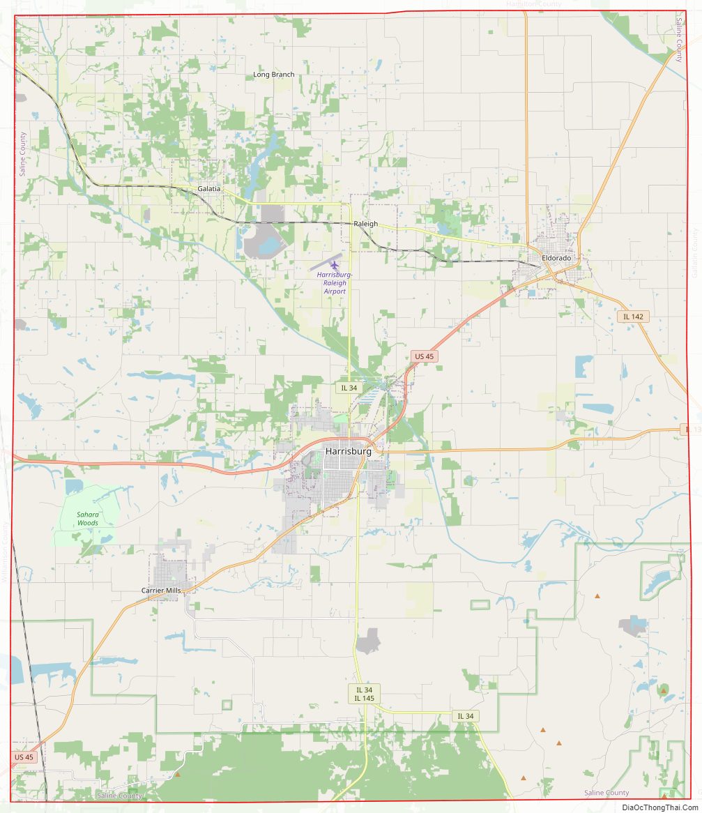
Saline County is a county in Southern Illinois. At the 2020 census, it had a population of 23,768. The largest city and county seat is Harrisburg. This area of Southern Illinois is known locally as “Little Egypt”.
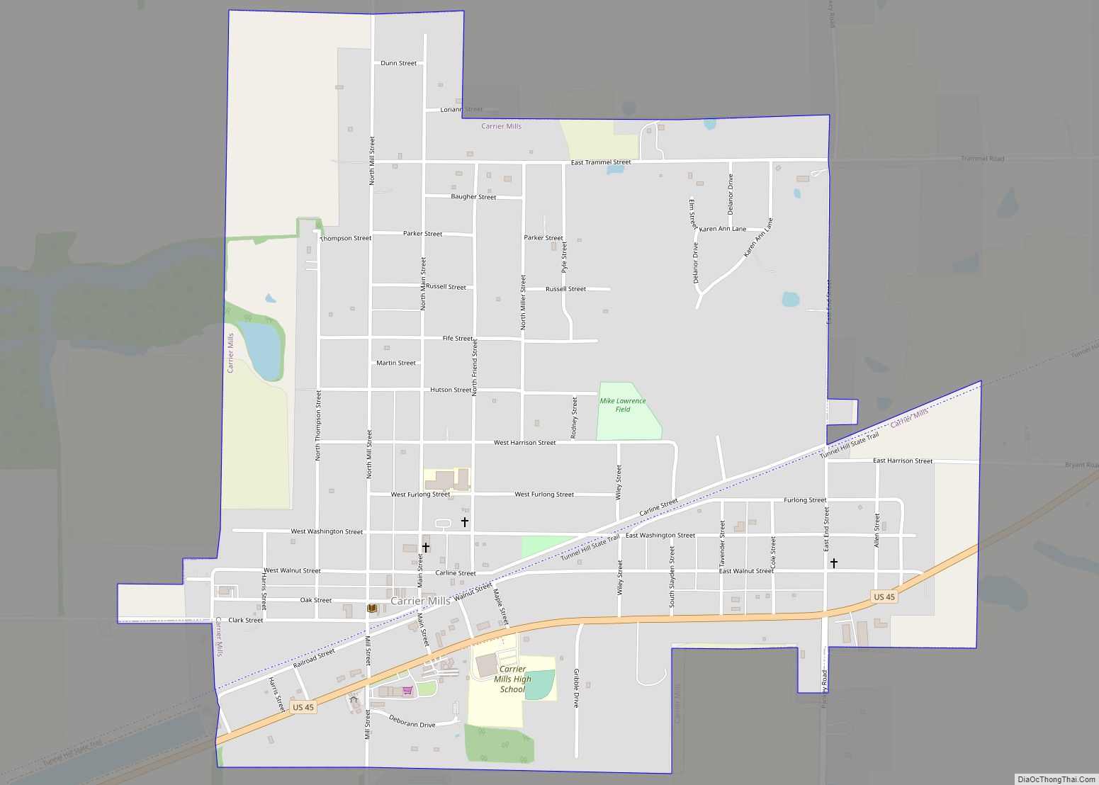
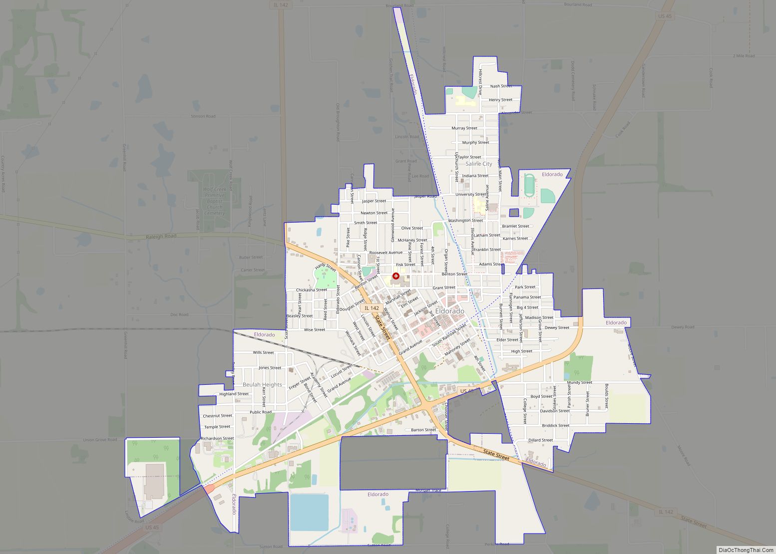
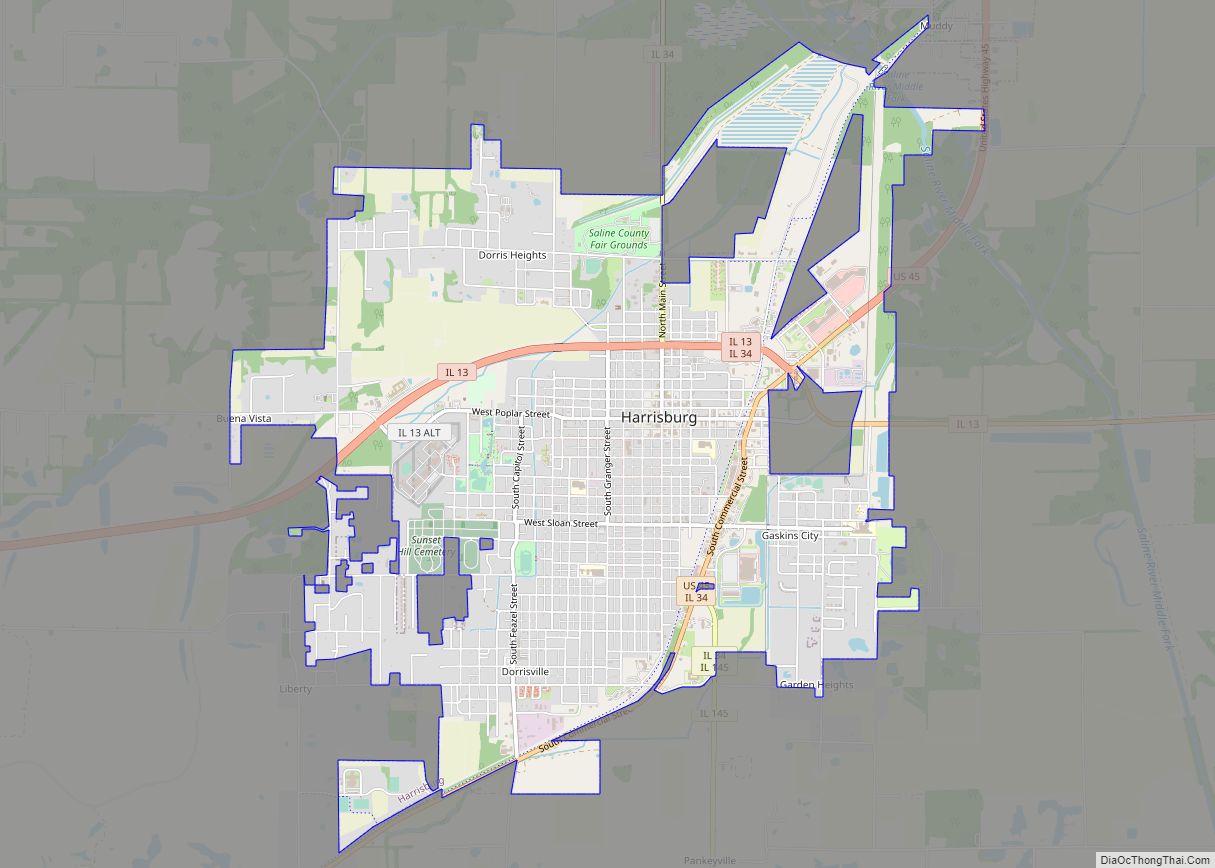
Three major towns in Saline County are connected by U.S. Route 45, and formerly by the now-abandoned Cairo and Vincennes/Big Four/New York Central Line, from north to south: Eldorado, Harrisburg, and Carrier Mills.
| Name: | Saline County |
|---|---|
| FIPS code: | 17-165 |
| State: | Illinois |
| Founded: | 1847 |
| Named for: | Saline River |
| Seat: | Harrisburg |
| Largest city: | Harrisburg |
| Total Area: | 387 sq mi (1,000 km²) |
| Land Area: | 380 sq mi (1,000 km²) |
| Total Population: | 23,768 |
| Population Density: | 61/sq mi (24/km²) |
| Time zone: | UTC−6 (Central) |
| Summer Time Zone (DST): | UTC−5 (CDT) |
| Website: | www.salinecounty.illinois.gov |
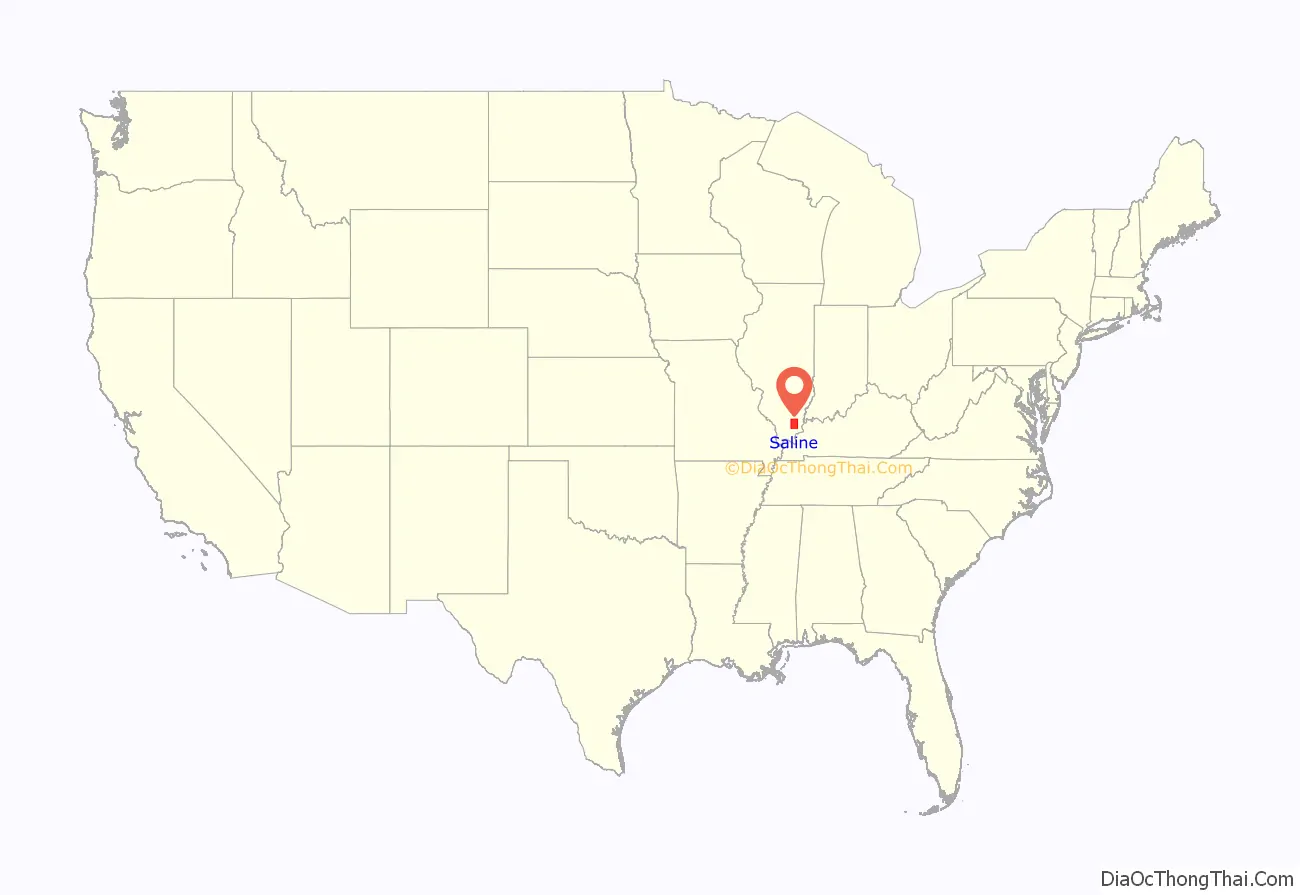
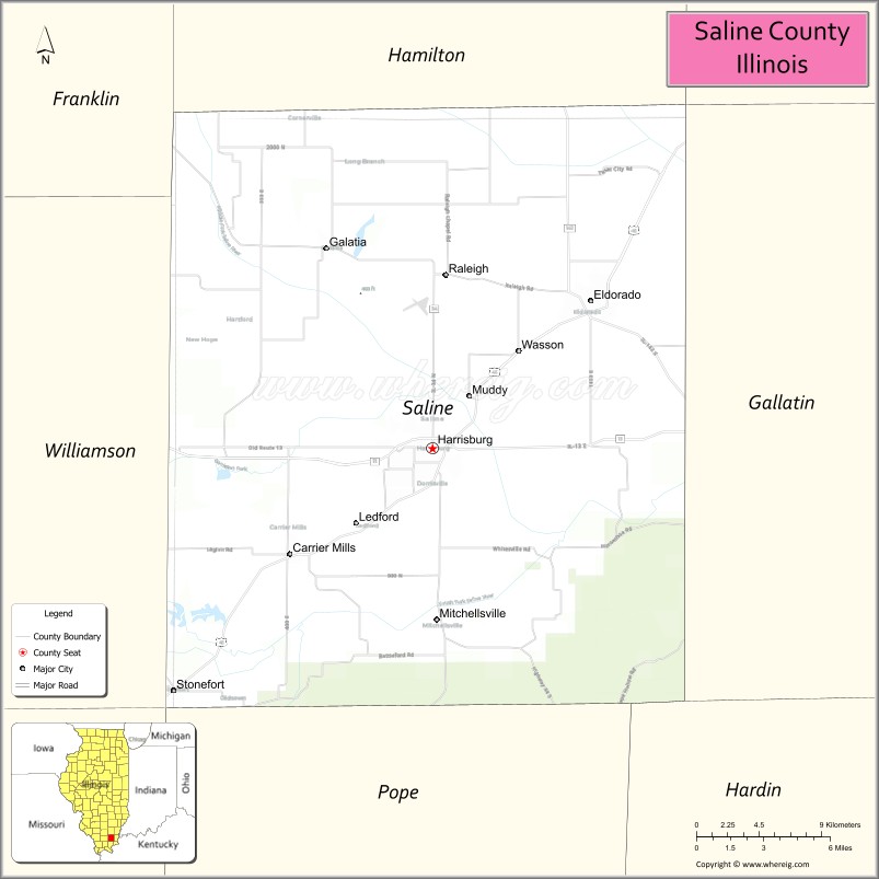
Saline County location map. Where is Saline County?
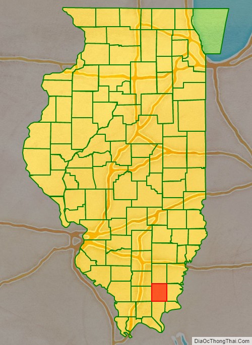
Saline County Road Map
Geography
According to the U.S. Census Bureau, the county has a total area of 387 square miles (1,000 km), of which 380 square miles (980 km) is land and 7.0 square miles (18 km) (1.8%) is water.
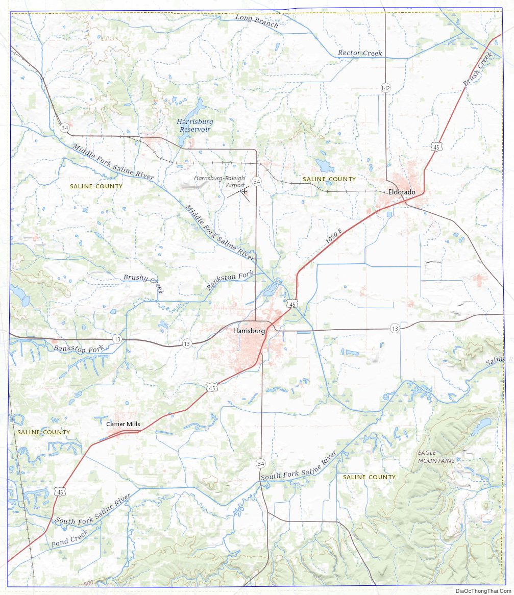
The Saline County area is mostly rolling hills throughout gradually rising to the Hills of the Shawnee National Forest. The Saline River flows through the central point of the county in three forks: North, Middle, and South. To the north of Eldorado there are flat lowlands.
Climate and weather
In recent years, average temperatures in the county seat of Harrisburg have ranged from a low of 22 °F (−6 °C) in January to a high of 89 °F (32 °C) in July, although a record low of −23 °F (−31 °C) was recorded in February 1951 and a record high of 113 °F (45 °C) was recorded in July 1936. Average monthly precipitation ranged from 3.04 inches (77 mm) in September to 4.98 inches (126 mm) in May.
Adjacent counties
- Hamilton County (north)
- White County (northeast)
- Gallatin County (east)
- Hardin County (southeast)
- Pope County (south)
- Johnson County (southwest)
- Williamson County (west)
- Franklin County (northwest)
National protected area
- Shawnee National Forest (part)
State protected areas
- Sahara Woods State Fish and Wildlife Area
- Saline County State Fish and Wildlife Area
Saline County Topographic Map
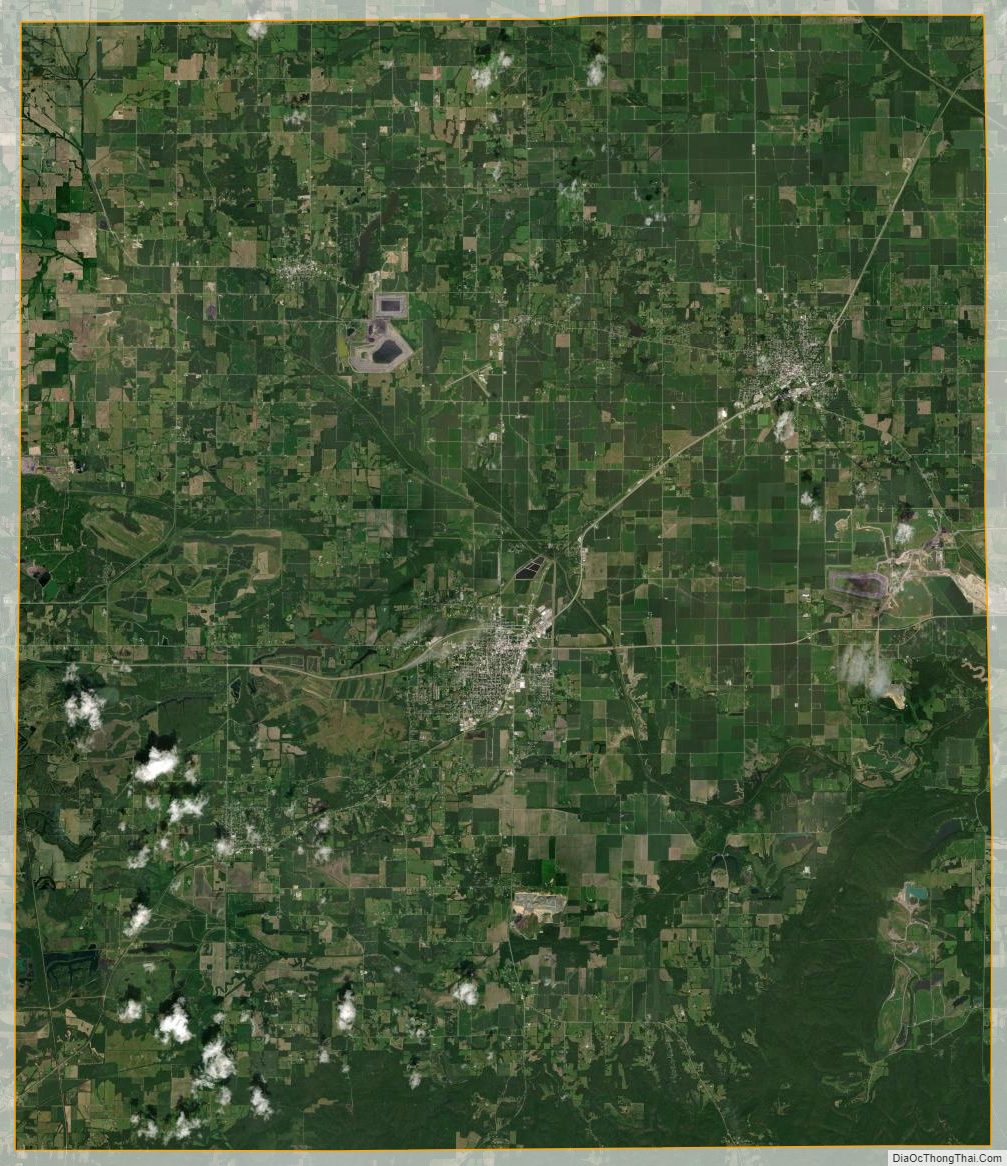
Saline County Satellite Map
Saline County Outline Map