Eldorado (/ˌɛldəˈreɪdoʊ, -də/) is a city in Saline County, Illinois, United States. The population was 4,122 at the 2010 census, with a 1980 peak of 5,198. Although the city’s name is spelled as if it were Spanish, the name was originally “Eldereado” or “Elder-Reado” (depending on the source)—a combination of the last names of the town’s two founders, Judge Samuel Elder, his son William, grandson Francis Marion, and neighbor Joseph Read, and his brother William. According to legend, a signpainter for the railroad painted the name “Eldorado” on the train depot; as a result, the spelling and pronunciation (el-do-RAY-doh) was forever changed.
Eldorado is included in the Illinois–Indiana–Kentucky tri-state area and is a bedroom community in the Harrisburg micropolitan statistical area.
| Name: | Eldorado city |
|---|---|
| LSAD Code: | 25 |
| LSAD Description: | city (suffix) |
| State: | Illinois |
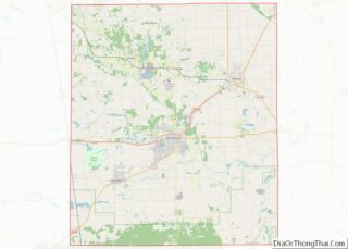
| County: | Saline County |
| Elevation: | 390 ft (120 m) |
| Total Area: | 2.54 sq mi (6.59 km²) |
| Land Area: | 2.50 sq mi (6.48 km²) |
| Water Area: | 0.04 sq mi (0.11 km²) |
| Total Population: | 3,743 |
| Population Density: | 1,495.41/sq mi (577.32/km²) |
| Area code: | 618 |
| FIPS code: | 1723009 |
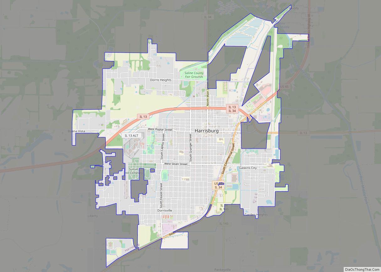
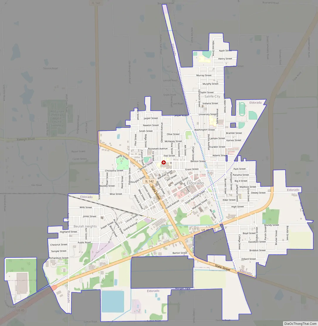
Online Interactive Map
Click on ![]() to view map in "full screen" mode.
to view map in "full screen" mode.
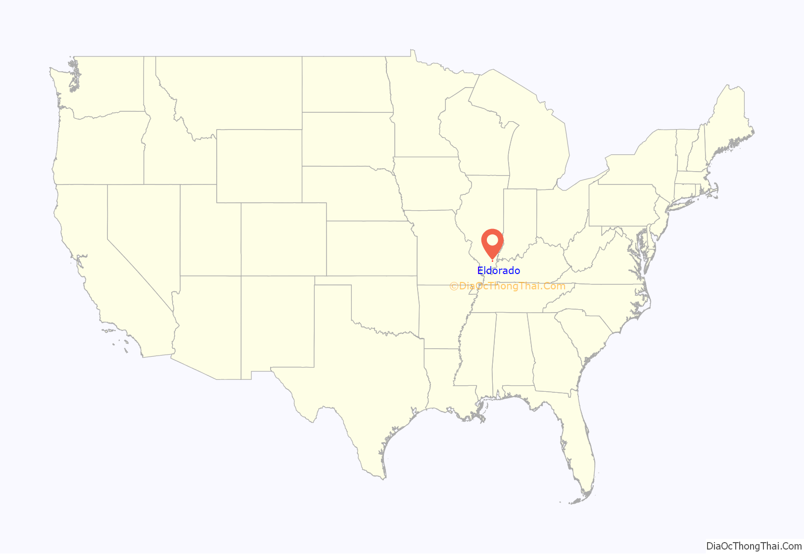
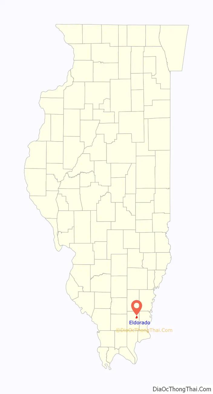
Eldorado location map. Where is Eldorado city?
History
Eldorado was first platted on May 24, 1858, by a surveyor named Martin D. Gillett. The post office was established on December 8 of that same year. Just before the Civil War, the first businesses were started in the town. The original village was incorporated in 1870. It was founded by Francis Elder and his neighbors who were brothers William and John Reed.
In the early days, Eldorado had several railroads which came through town. It was at an intersection of the Louisville & Nashville and Cairo & Vincennes railways. The “eastern extremity” of the Belleville & Eldorado Railway (St. Louis Short Line) also came through town. According to Illinois Historian Neil Gale: “This settlement, by 1896, could boast of exceptional railroad facilities – The Illinois Central, The Louisville and Nashville, and The Chicago, Cleveland, Cincinnati and St. Louis. Like several other villages, when the railroad company placed the name on the station, the name was spelled Eldorado, instead of Elderedo, and it has been known by that name since that time.”
The city provided relief efforts to neighboring communities affected by the Ohio River Flood of 1937. Shelter was provided at the city hall, and food provided by the Calvary Baptist Church, led by the Red Cross with local help. When the Leap Day Tornado of 2012 struck nearby Harrisburg, Eldorado immediately provided emergency assistance.
Current and former residents often reflect with nostalgia growing up in Eldorado, and doing business in the downtown area. At the center of it is a five-way intersection. A Ben Franklin store stood for decades on the corner of Fourth and Locust streets. The Dairy Queen was a popular hangout, until it relocated outside of the downtown in the 1990s. There were two banks, two grocery stores, and several specialty shops, until the businesses began to disappear due to job loss, a population decrease, and the move to businesses on the highways.
The former city hall building is on the National Register of Historic Places.
Eldorado thrived for much of the late 1800s until the 1980s as a coal mining town, until several major mines shut down. Another major employer, Roundy’s (formerly Scot Lad) closed in 2005, laying off 170 workers.
Today, the railroad tracks have been paved over in favor of bike paths, and most of the downtown businesses are gone.
Eldorado was known as a sundown town until the 1960s.
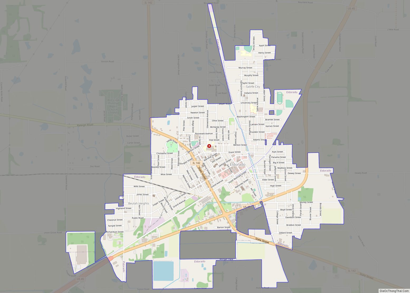
Eldorado Road Map
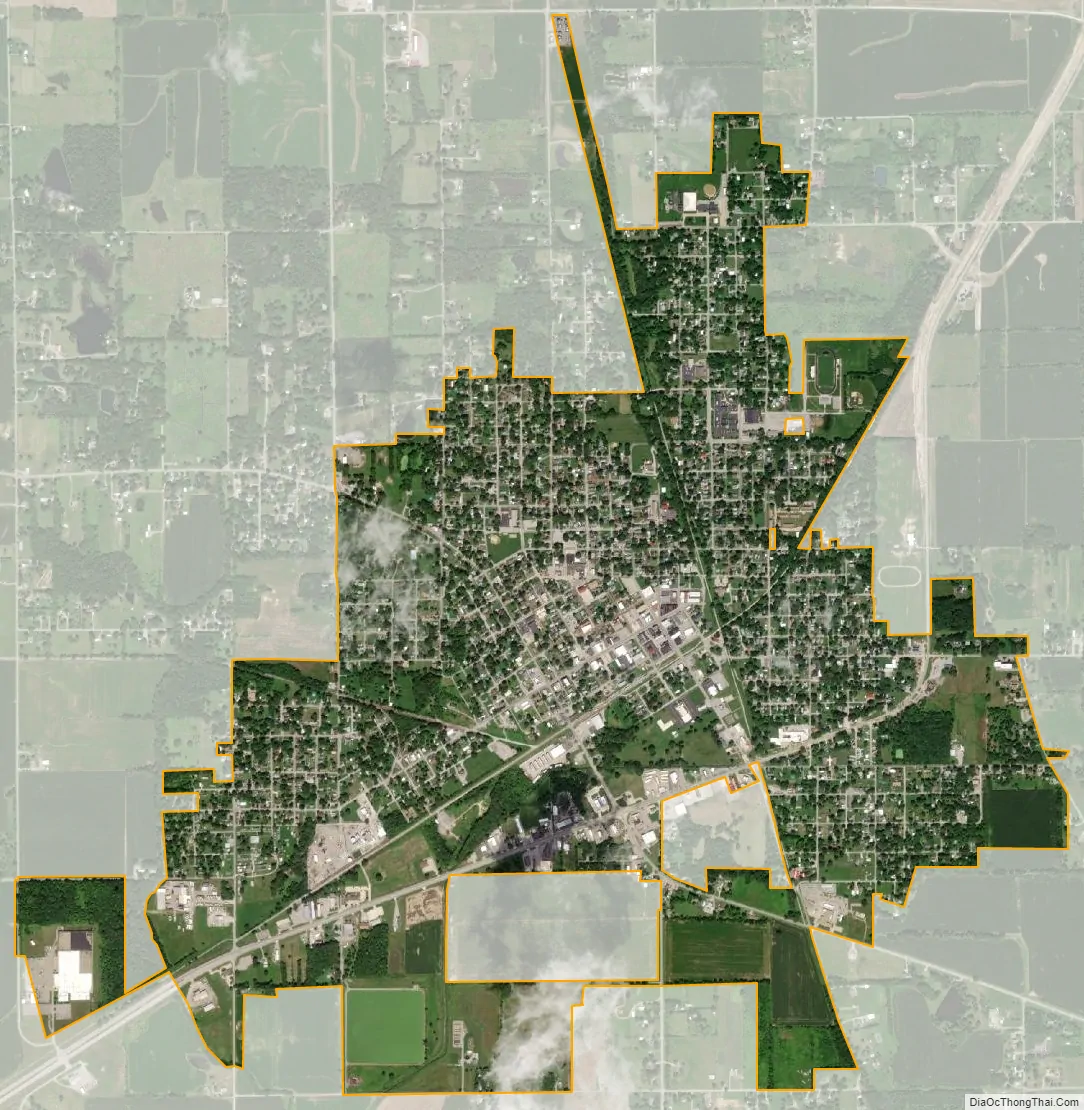
Eldorado city Satellite Map
Geography
Eldorado is located at 37°48′51″N 88°26′27″W / 37.81417°N 88.44083°W / 37.81417; -88.44083 (37.814212, -88.440937) in Saline County. It is in the Southeastern region of Southern Illinois. The nearest major city is St. Louis, Missouri (129 miles). Residents do a lot of business in Evansville, Indiana (59 miles), and Paducah, Kentucky (62 miles).
According to the 2010 census, Eldorado has a total area of 2.431 square miles (6.30 km), of which 2.39 square miles (6.19 km) (or 98.31%) is land and 0.041 square miles (0.11 km) (or 1.69%) is water.
It is located within the Wabash Valley Seismic Zone, and just north of the Cottage Grove Fault System.
The junction of the pioneer Kaskaskia and Goshen Trails was located just south of the city. The Goshen Trail began in Old Shawneetown, Illinois and ran along the east side of Eldorado and on to the Goshen Settlement, a community near the present day East St. Louis. It is just north of the Shawnee National Forest.
See also
Map of Illinois State and its subdivision:- Adams
- Alexander
- Bond
- Boone
- Brown
- Bureau
- Calhoun
- Carroll
- Cass
- Champaign
- Christian
- Clark
- Clay
- Clinton
- Coles
- Cook
- Crawford
- Cumberland
- De Kalb
- De Witt
- Douglas
- Dupage
- Edgar
- Edwards
- Effingham
- Fayette
- Ford
- Franklin
- Fulton
- Gallatin
- Greene
- Grundy
- Hamilton
- Hancock
- Hardin
- Henderson
- Henry
- Iroquois
- Jackson
- Jasper
- Jefferson
- Jersey
- Jo Daviess
- Johnson
- Kane
- Kankakee
- Kendall
- Knox
- La Salle
- Lake
- Lake Michigan
- Lawrence
- Lee
- Livingston
- Logan
- Macon
- Macoupin
- Madison
- Marion
- Marshall
- Mason
- Massac
- McDonough
- McHenry
- McLean
- Menard
- Mercer
- Monroe
- Montgomery
- Morgan
- Moultrie
- Ogle
- Peoria
- Perry
- Piatt
- Pike
- Pope
- Pulaski
- Putnam
- Randolph
- Richland
- Rock Island
- Saint Clair
- Saline
- Sangamon
- Schuyler
- Scott
- Shelby
- Stark
- Stephenson
- Tazewell
- Union
- Vermilion
- Wabash
- Warren
- Washington
- Wayne
- White
- Whiteside
- Will
- Williamson
- Winnebago
- Woodford
- Alabama
- Alaska
- Arizona
- Arkansas
- California
- Colorado
- Connecticut
- Delaware
- District of Columbia
- Florida
- Georgia
- Hawaii
- Idaho
- Illinois
- Indiana
- Iowa
- Kansas
- Kentucky
- Louisiana
- Maine
- Maryland
- Massachusetts
- Michigan
- Minnesota
- Mississippi
- Missouri
- Montana
- Nebraska
- Nevada
- New Hampshire
- New Jersey
- New Mexico
- New York
- North Carolina
- North Dakota
- Ohio
- Oklahoma
- Oregon
- Pennsylvania
- Rhode Island
- South Carolina
- South Dakota
- Tennessee
- Texas
- Utah
- Vermont
- Virginia
- Washington
- West Virginia
- Wisconsin
- Wyoming