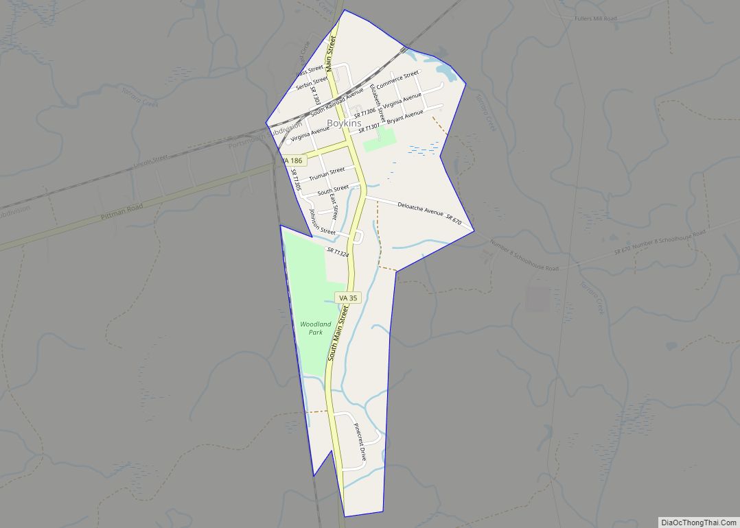
Southampton County is a county located on the southern border of the Commonwealth of Virginia. North Carolina is to the south. As of the 2020 census, the population was 17,996. Its county seat is Courtland.
| Name: | Southampton County |
|---|---|
| FIPS code: | 51-175 |
| State: | Virginia |
| Founded: | 1749 |
| Named for: | either Southampton, England, or Henry Wriothesley, 3rd Earl of Southampton |
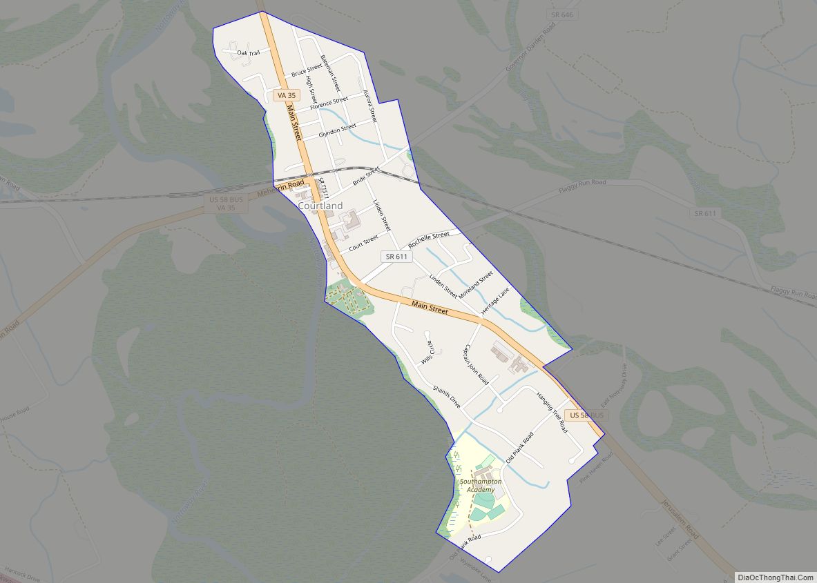
| Seat: | Courtland |
| Largest town: | Courtland |
| Total Area: | 602 sq mi (1,560 km²) |
| Land Area: | 599 sq mi (1,550 km²) |
| Total Population: | 17,996 |
| Population Density: | 30/sq mi (12/km²) |
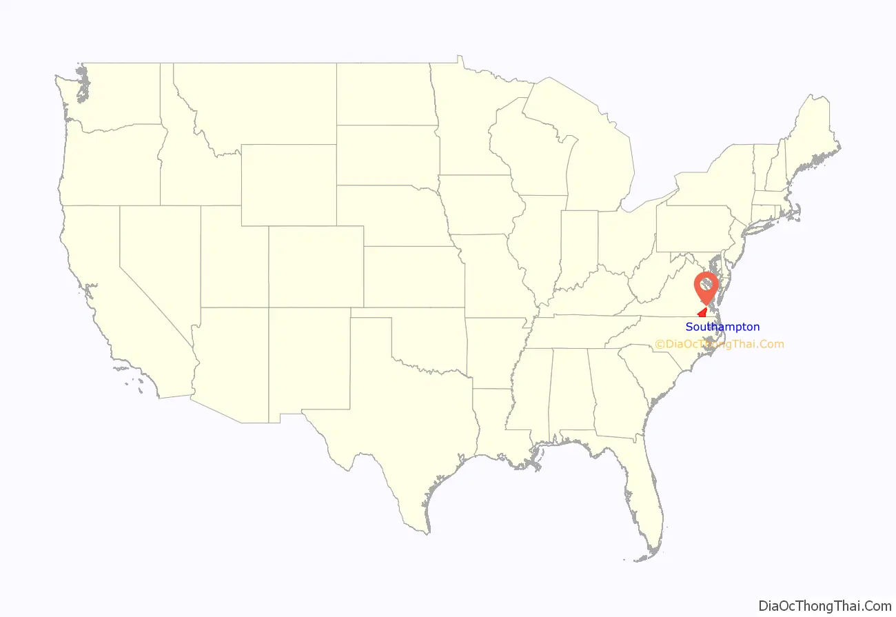
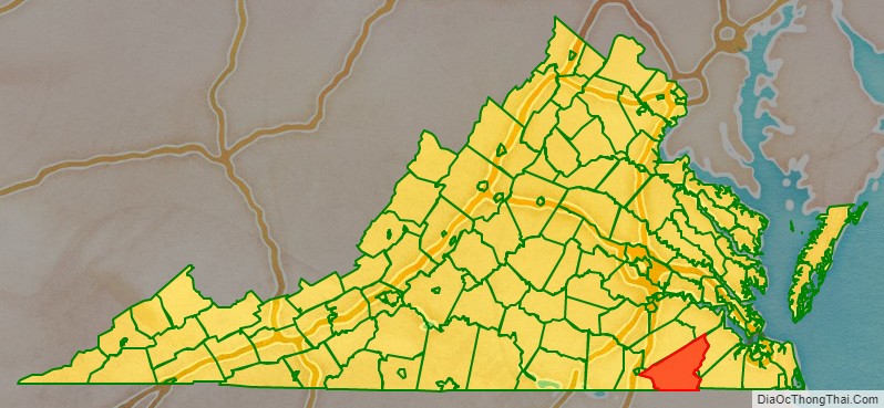
Southampton County location map. Where is Southampton County?
History
In the early 17th century, the explorer Captain John Smith founded the settlement of Jamestown; in the next decades of the colony’s history, Jamestown settlers explorer and began settling the regions adjacent to Hampton Roads. The Virginia Colony was divided into eight shires (or counties) with a total population of approximately 5,000 inhabitants in 1634. Most of Southampton County was originally part of Warrosquyoake Shire. The shires were soon to be called counties. In 1637 Warrosquyoake Shire was renamed Isle of Wight County.
In 1749, the portion of Isle of Wight County west of the Blackwater River was organized as Southampton County. Later, part of Nansemond County, which is now the Independent City of Suffolk, was added to Southampton County. This area was cultivated for tobacco and later for mixed crops, dependent on the labor of enslaved African Americans after a relatively short period when many white indentured servants came to the colony.
In August 1831, an enslaved preacher named Nat Turner led a slave rebellion in Southampton County against local white residents, killing about 60 people (mainly women and children). The rebellion was crushed, and Turner and his rebels were tried, convicted, and executed. Meanwhile, white mobs had seized and lynched nearly 200 black residents of Southampton County, most of them enslaved.
Southampton County may have been named by Virginian settlers for Southampton, a major port city in Hampshire. Alternatively, it may have been named for Henry Wriothesley, one of the founders of the Virginia Company.
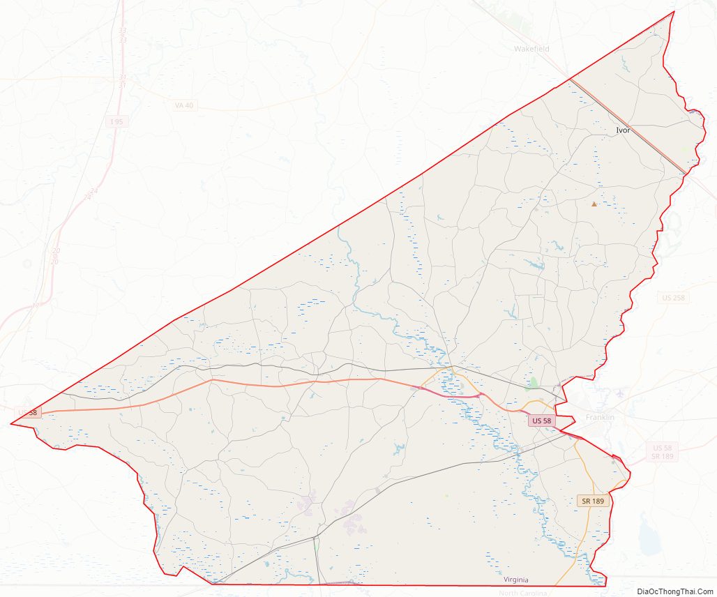
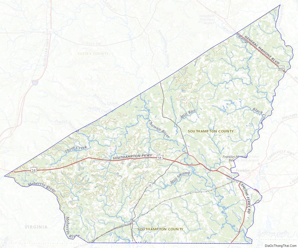
Southampton County Road Map
Geography
According to the U.S. Census Bureau, the county has a total area of 602 square miles (1,560 km), of which 599 square miles (1,550 km) is land and 3.2 square miles (8.3 km) (0.5%) is water.
Southampton County is bounded by the Blackwater River on the east and the Meherrin River on the west. The Nottoway River flows through the center of the county. All three rivers are tributaries of the Chowan River, which flows south into Albemarle Sound, North Carolina. The Blackwater River separates Southampton County from Isle of Wight County, and the Meherrin River separates it from Greensville County.
Adjacent counties
Major highways
- US 58
- US 258
- US 460
- SR 35
- SR 186
- SR 189
Southampton County Topographic Map
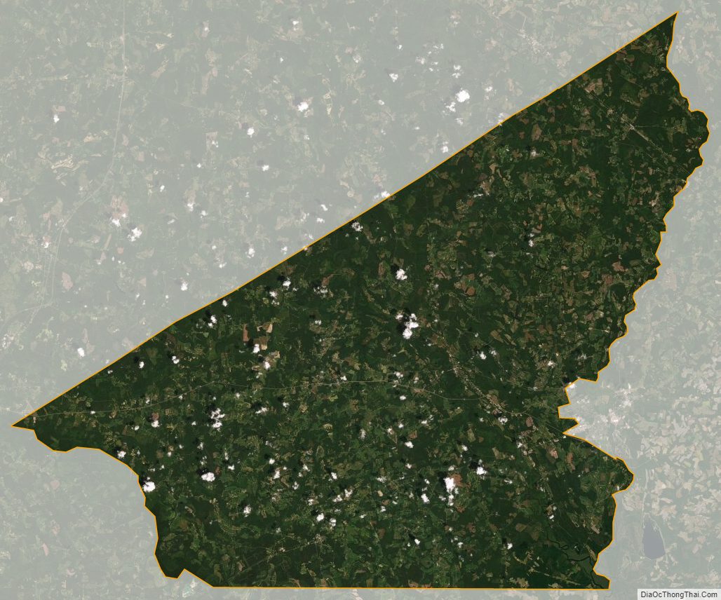
Southampton County Satellite Map
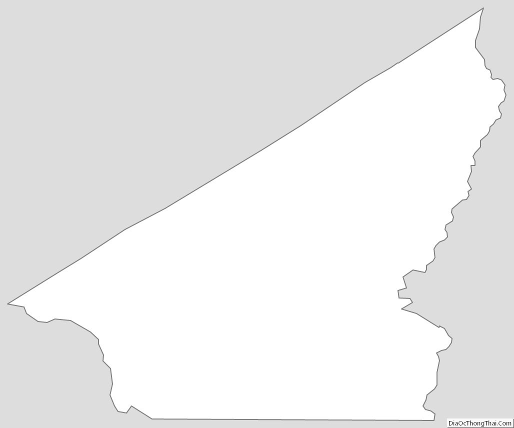
Southampton County Outline Map