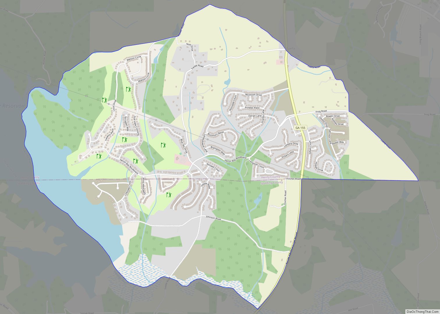
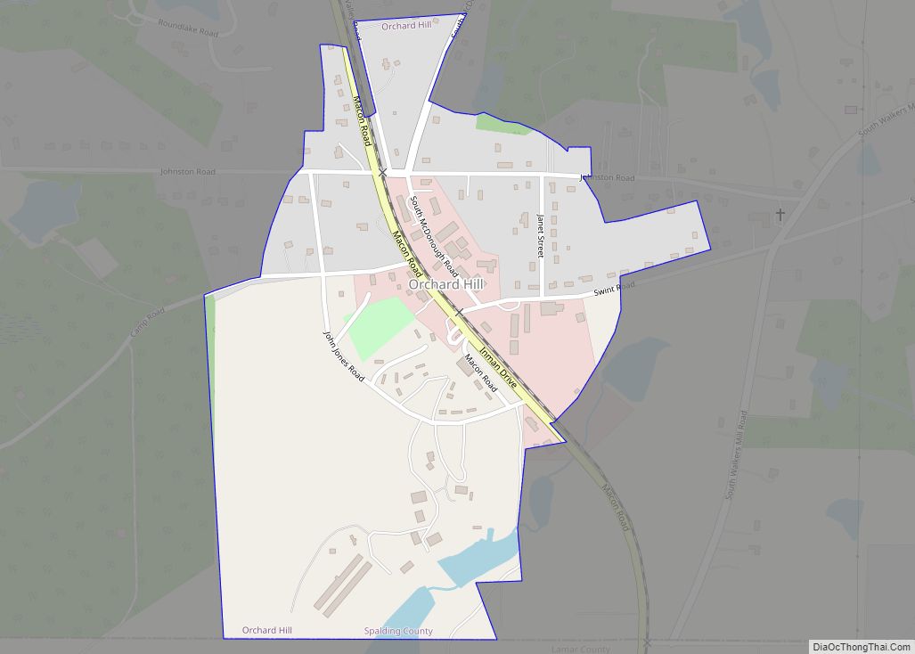
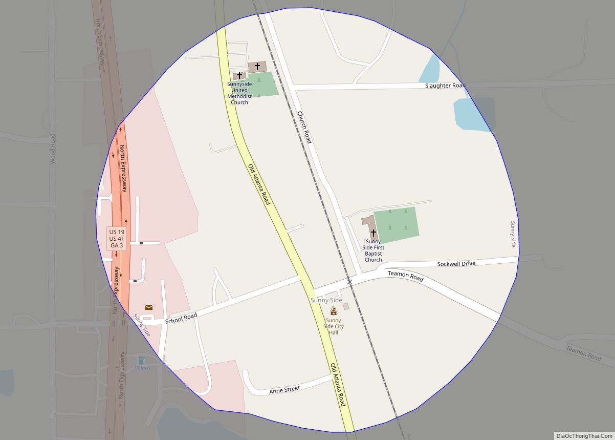
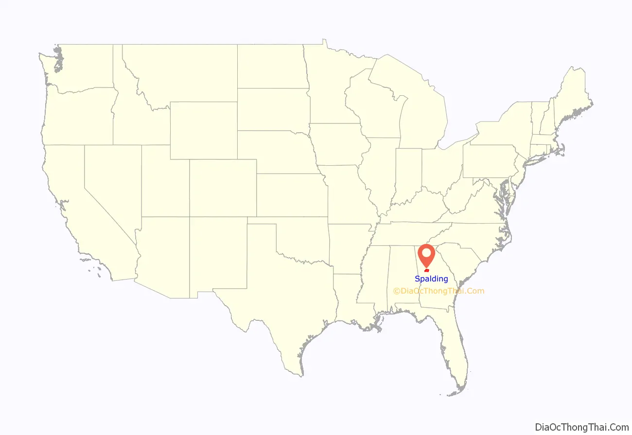
Spalding County is a county located in the west central portion of the U.S. state of Georgia. As of the 2020 census, the population was 67,306. The county seat is Griffin. The county was created December 20, 1851 and named for former United States representative and senator Thomas Spalding.
Spalding County is included in the Atlanta-Sandy Springs-Roswell, GA Metropolitan Statistical Area.
| Name: | Spalding County |
|---|---|
| FIPS code: | 13-255 |
| State: | Georgia |
| Founded: | 1851 |
| Named for: | Thomas Spalding |
| Seat: | Griffin |
| Largest city: | Griffin |
| Total Area: | 200 sq mi (500 km²) |
| Land Area: | 196 sq mi (510 km²) |
| Total Population: | 67,306 |
| Time zone: | UTC−5 (Eastern) |
| Summer Time Zone (DST): | UTC−4 (EDT) |
| Website: | www.spaldingcounty.com |
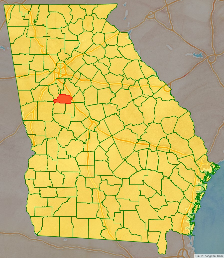
Spalding County location map. Where is Spalding County?
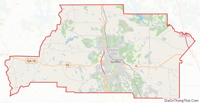
Spalding County Road Map
Geography
According to the U.S. Census Bureau, the county has a total area of 200 square miles (520 km), of which 196 square miles (510 km) is land and 3.1 square miles (8.0 km) (1.6%) is water. The county is located in the Piedmont region of the state.
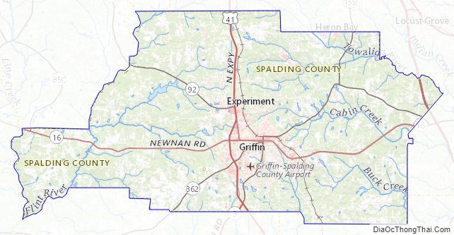
The western portion of Spalding County, west of a line from Sunny Side through Griffin to Orchard Hill, is located in the Upper Flint River sub-basin of the ACF River Basin (Apalachicola-Chattahoochee-Flint River Basin). The eastern part of the county is located in the Upper Ocmulgee River sub-basin of the Altamaha River basin.
Major highways
- Interstate 75
- U.S. Route 19
U.S. Route 19 Business- U.S. Route 41
U.S. Route 41 Business- State Route 3
- State Route 7
- State Route 16
- State Route 92
- State Route 155
- State Route 362
- State Route 401 (unsigned designation for I-75)
Adjacent counties
- Henry County (northeast)
- Butts County (east)
- Lamar County (southeast)
- Pike County (southwest)
- Meriwether County (west)
- Coweta County (west)
- Fayette County (northwest)
- Clayton County (northwest)
Spalding County Topographic Map
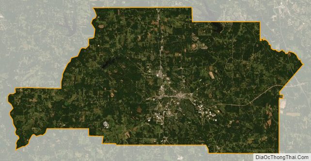
Spalding County Satellite Map
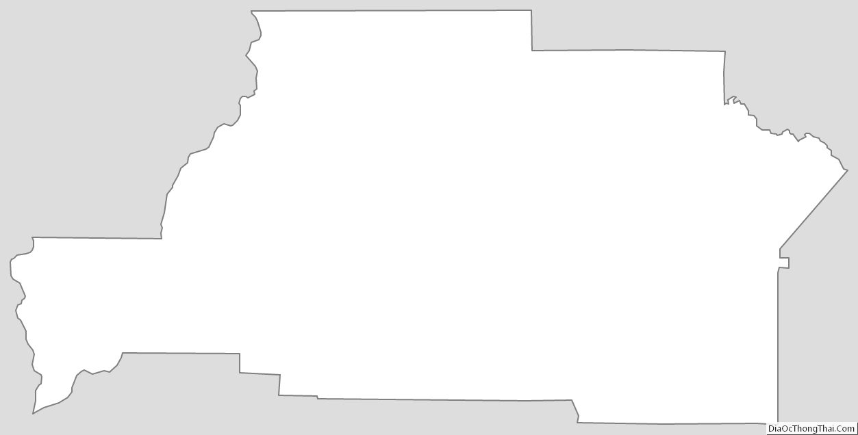
Spalding County Outline Map