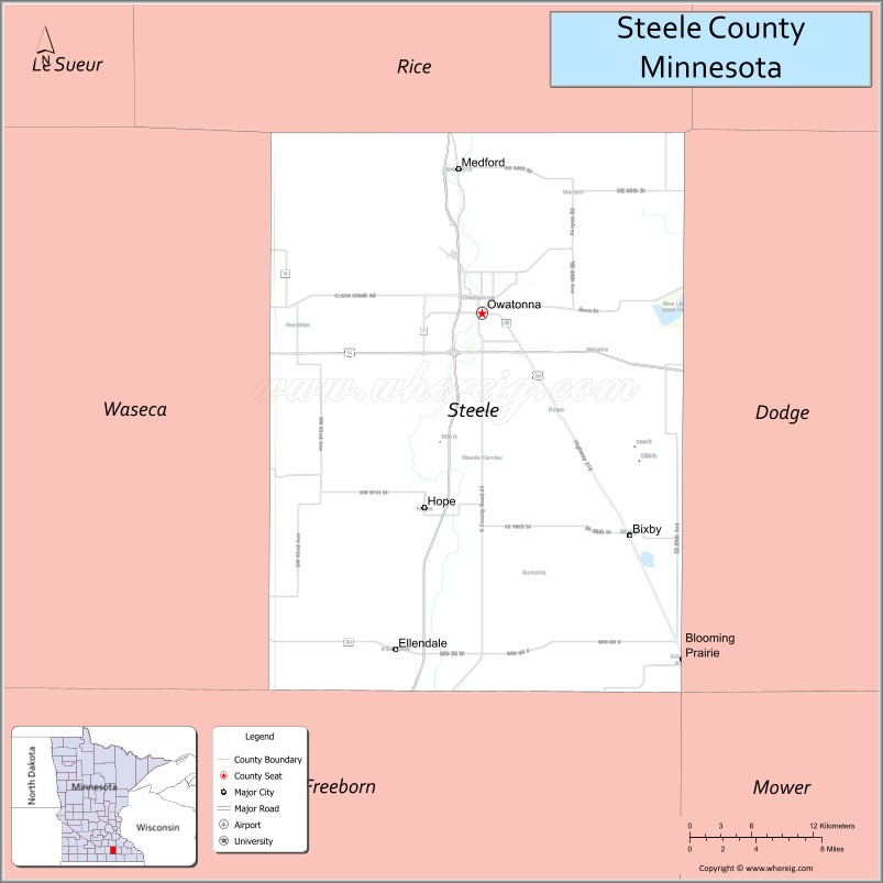
Steele County is a county in the U.S. state of Minnesota. As of the 2020 census, the population was 37,406. Its county seat is Owatonna.
Steele County comprises the Owatonna Micropolitan Statistical Area.
| Name: | Steele County |
|---|---|
| FIPS code: | 27-147 |
| State: | Minnesota |
| Founded: | February 20, 1855 |
| Named for: | Franklin Steele |
| Seat: | Owatonna |
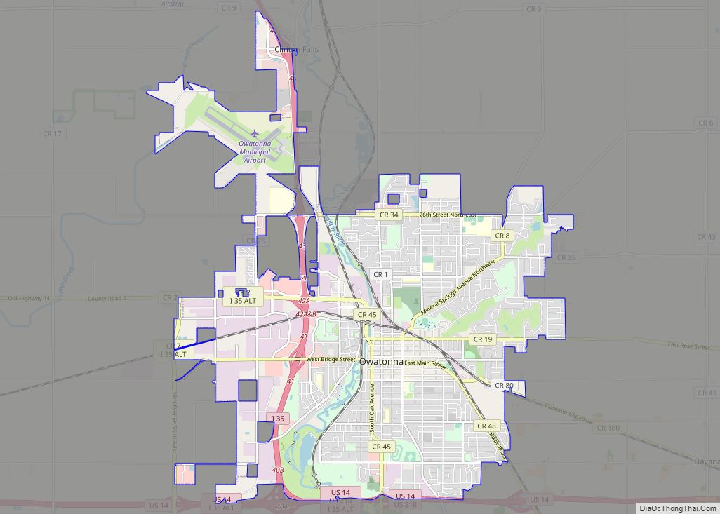
| Largest city: | Owatonna |
| Total Area: | 432 sq mi (1,120 km²) |
| Land Area: | 430 sq mi (1,100 km²) |
| Total Population: | 37,406 |
| Population Density: | 87.0/sq mi (33.6/km²) |
| Time zone: | UTC−6 (Central) |
| Summer Time Zone (DST): | UTC−5 (CDT) |
| Website: | www.co.steele.mn.us |
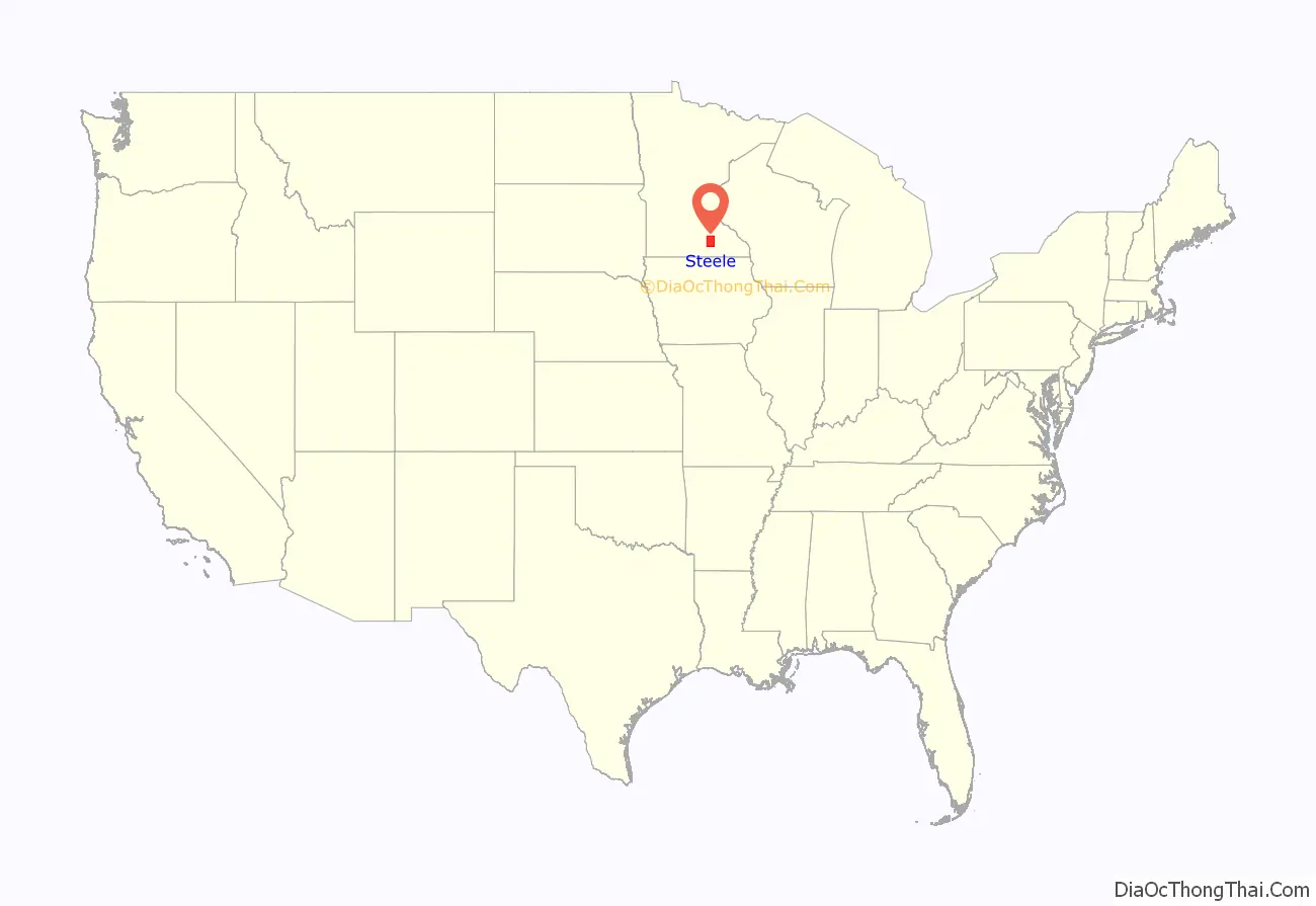
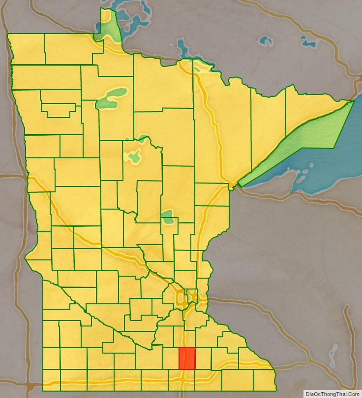
Steele County location map. Where is Steele County?
History
The county was created by the Minnesota Territory legislature on February 20, 1855, using areas partitioned from Rice, Blue Earth, and Le Sueur counties. Owatonna, the settlement of which had commenced in 1854, was named the county seat. The county was named for Franklin Steele, a prominent early resident of the territory.
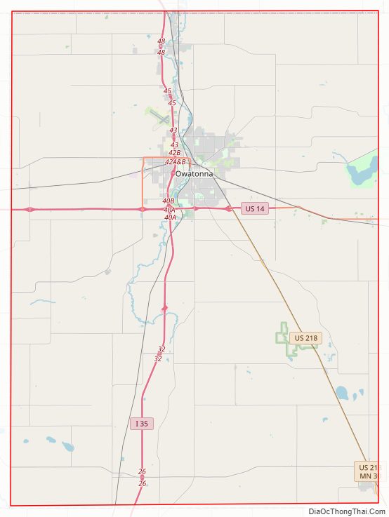
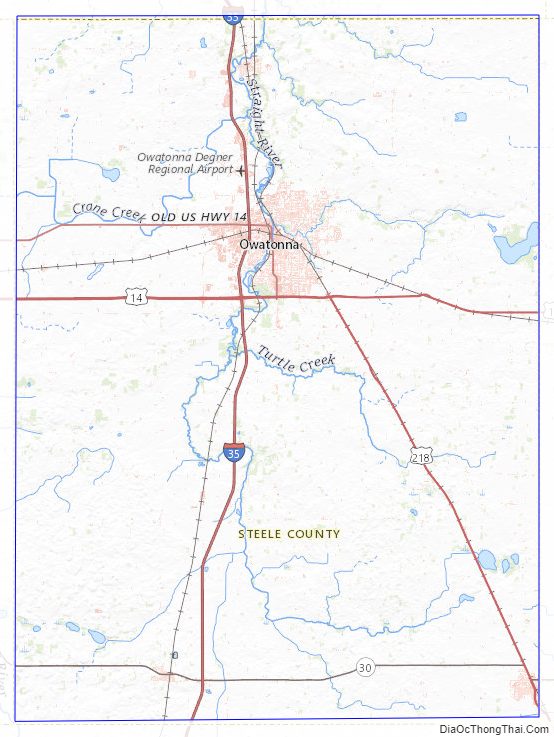
Steele County Road Map
Geography
The Straight River rises in Freeborn County and flows northward through the central part of Steele County, continuing into Rice County on the north. The South Branch of the Middle Fork of the Zumbro River rises in Steele County and flows eastward into Dodge County. The county terrain consists of low rolling hills, etched with drainages, completely devoted to agriculture where possible. The terrain slopes to the east and north, with its highest point near the midpoint of its south border, at 1,293 ft (394 m) ASL. The county has an area of 432 square miles (1,120 km), of which 430 square miles (1,100 km) is land and 2.7 square miles (7.0 km) (0.6%) is water.
The Straight River flows northward through the county, and the Le Sueur River flows through its southwestern corner. The Middle Fork of the Zumbro River rises in NE Steele County.
Major highways
- Interstate 35 – runs north–south through west-central portion of county. Passes Medford, Clinton Falls, Owatonna, Hope and Ellendale.
- U.S. Route 14 – runs east–west through upper central portion of county; passes Owatonna.
- U.S. Route 218 – runs north-northwest from southeast corner of county to intersection with US 14, southeast of Owatonna.
- Minnesota State Highway 30 – runs east–west across south part of county; passes Ellendale.
Airports
- Owatonna Degner Regional Airport (OWA) – northwest of Owatonna
Adjacent counties
Protected areas
- Aurora State Wildlife Management Area
- Oak Glen State Wildlife Management Area
- Rice Lake State Park
- Somerset State Wildlife Management Area
- Swan Lake State Wildlife Management Area
Lakes
- Beaver
- Fosilen
- Kohlmeier
- Lonergan
- Oak Glen
- Rice (part)
- Rickert
- Swan
Steele County Topographic Map
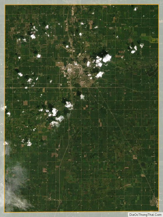
Steele County Satellite Map
Steele County Outline Map