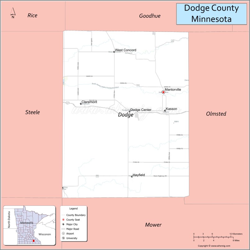
Dodge County is a county in the U.S. state of Minnesota. The population was 20,867 as of the 2020 census. Its county seat is Mantorville.
Dodge County is part of the Rochester, MN Metropolitan Statistical Area.
| Name: | Dodge County |
|---|---|
| FIPS code: | 27-039 |
| State: | Minnesota |
| Founded: | February 20, 1855 |
| Named for: | Henry Dodge |
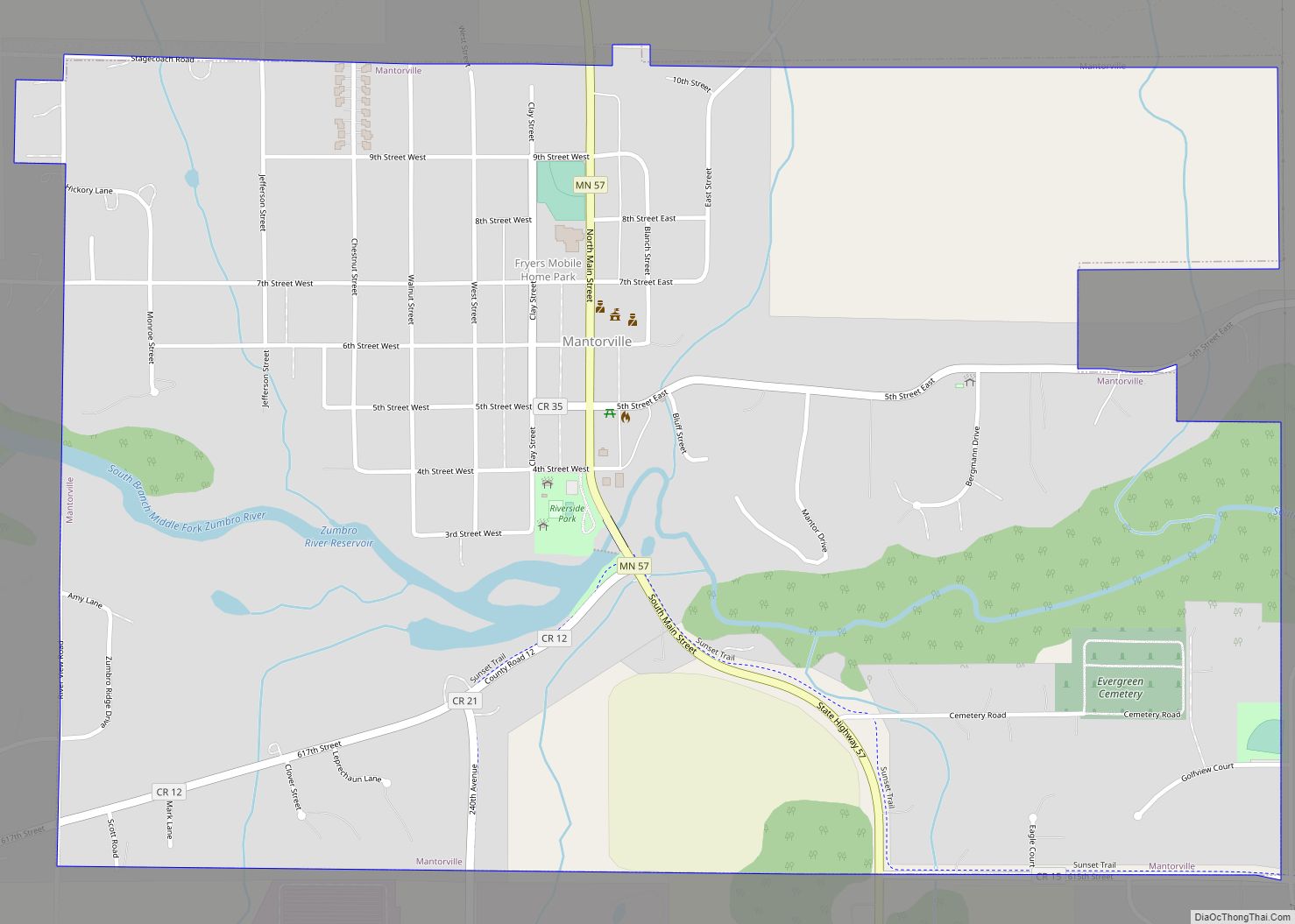
| Seat: | Mantorville |
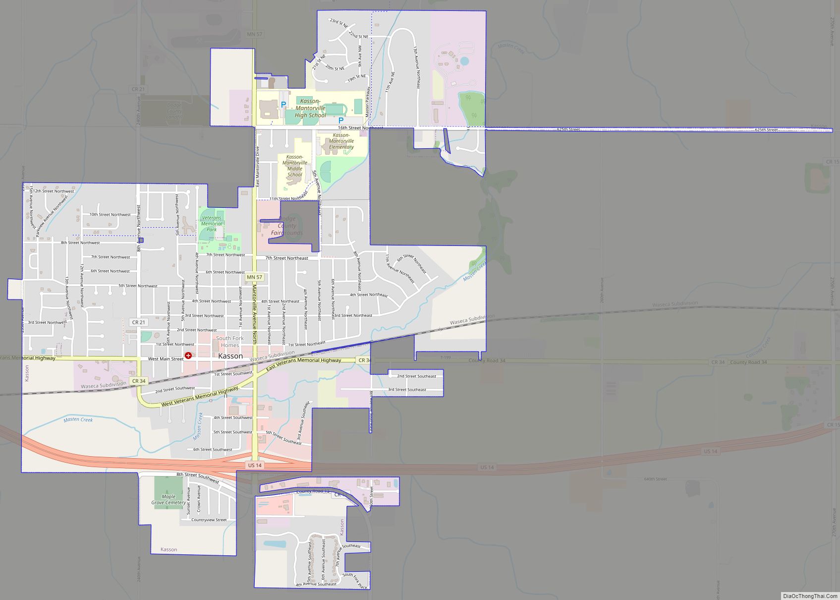
| Largest city: | Kasson |
| Total Area: | 440 sq mi (1,100 km²) |
| Land Area: | 439 sq mi (1,140 km²) |
| Total Population: | 20,867 |
| Population Density: | 47.5/sq mi (18.3/km²) |
| Time zone: | UTC−6 (Central) |
| Summer Time Zone (DST): | UTC−5 (CDT) |
| Website: | www.co.dodge.mn.us |
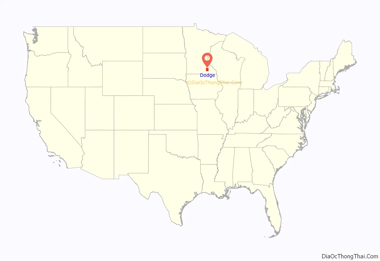
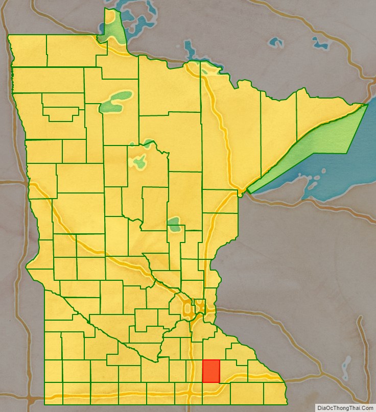
Dodge County location map. Where is Dodge County?
History
The area of present Dodge County was a hunting and battle ground for the Mdewakanton Sioux, often fighting Sauk and Fox Indians who wandered into their territory. Possibly the first non-indigenous person to enter the territory was a French fur trader from Canada in 1655. After the fur trappers and early explorers, the area was populated by settlers from New England. The 1820s and 1830s saw significant emigration, eased by completion of the Erie Canal (1825) and the end of the Black Hawk War (1831). They brought a passion for education, establishing many schools, as well as staunch support for abolitionism. They were members of the Congregational or Episcopal church. Culturally Dodge County was similar to colonial New England during the nineteenth century. In 1853 government surveyors set lines for the townships. In 1854, two Mantor brothers and Eli P. Waterman established their claims in the area of present Mantorville. In early 1855, Dodge County was organized for local government. It was named for Henry Dodge, the first governor of Wisconsin (1836-1841).
The Minnesota State Constitution placed Dodge County in the Fifth Judicial District on May 11, 1858. The county courthouse was constructed in 1865; it is presently the oldest still-used courthouse in Minnesota. As the 20th century began, emigrants from Germany, Sweden and Norway flowed to Minnesota in increasing numbers. Their influence added Catholic and Lutheran influence to the cultural mix.
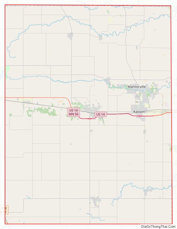
Dodge County Road Map
Geography
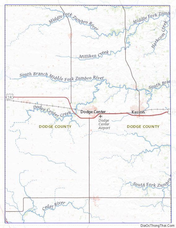
The South Branch of the Middle Fork of the Zumbro River flows east-northeast through the upper central part of Dodge County. Salem Creek and Harkcom Creek drain the county to the east. The county terrain consists of rolling hills, devoted to agriculture where possible. The terrain slopes to the northeast; its highest point is on the eastern part of its southern border, at 1,352′ (412m) ASL. The county has a total area of 440 square miles (1,100 km), of which 439 square miles (1,140 km) is land and 0.3 square miles (0.78 km) (0.07%) is water.
Dodge County is in southeastern Minnesota and is 24 miles (39 km) long and 18 miles (29 km) wide. The central and northern parts are hilly and thickly wooded with pebbly, loose soil that allows for wheat agriculture. The southern part, in contrast, is flat and wet, more suited to grazing livestock. The soil is very fertile, with heavy black loam. Dodge is one of seven southern Minnesota counties that have no forest ecosystems; only prairie and savanna soils exist here.
Dodge County’s plentiful sand and rock also make the area a center for building. Quarries in Mantorville were once enterprises and consist of layers of thick stone that can be cut into any desired shape. Wasioja is known nationwide for its excellent “Wasioja stone.”
Streams
- Dodge Center Creek
- Harkcom Creek
- Henslin Creek
- Little Cedar River
- Masten Creek
- Millikin Creek
- Salem Creek
- Tompkins Creek
Lakes
- Rice Lake (part)
- Zumbro River Reservoir
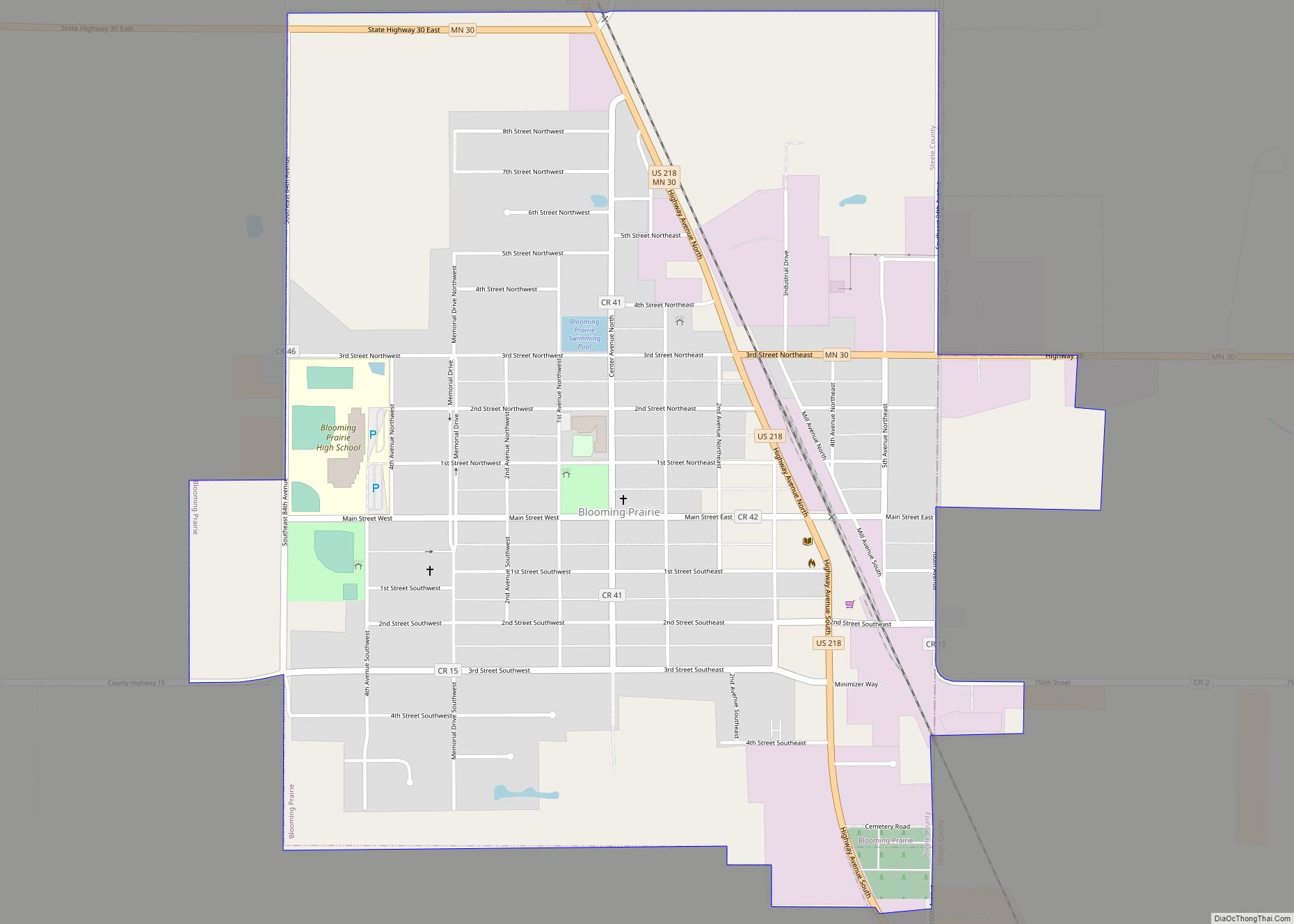
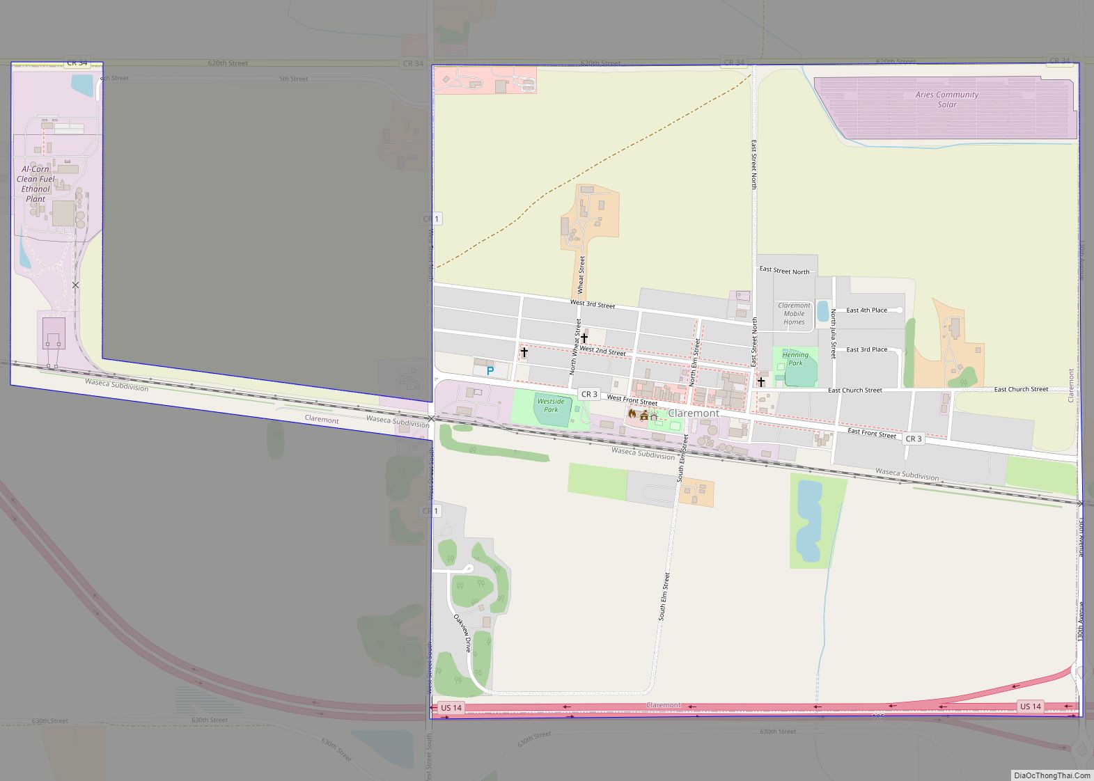
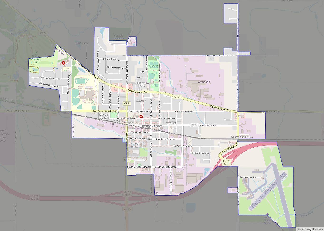
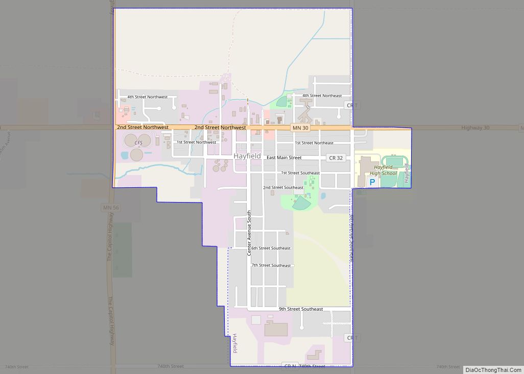
Major highways
- U.S. Highway 14
- U.S. Highway 218
- Minnesota State Highway 30
- Minnesota State Highway 56
- Minnesota State Highway 57
Airport
- Dodge Center Municipal Airport
Adjacent counties
- Rice County – northwest
- Goodhue County – northeast
- Olmsted County – east
- Mower County – south
- Steele County -west
Dodge County Topographic Map
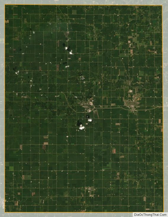
Dodge County Satellite Map
Dodge County Outline Map