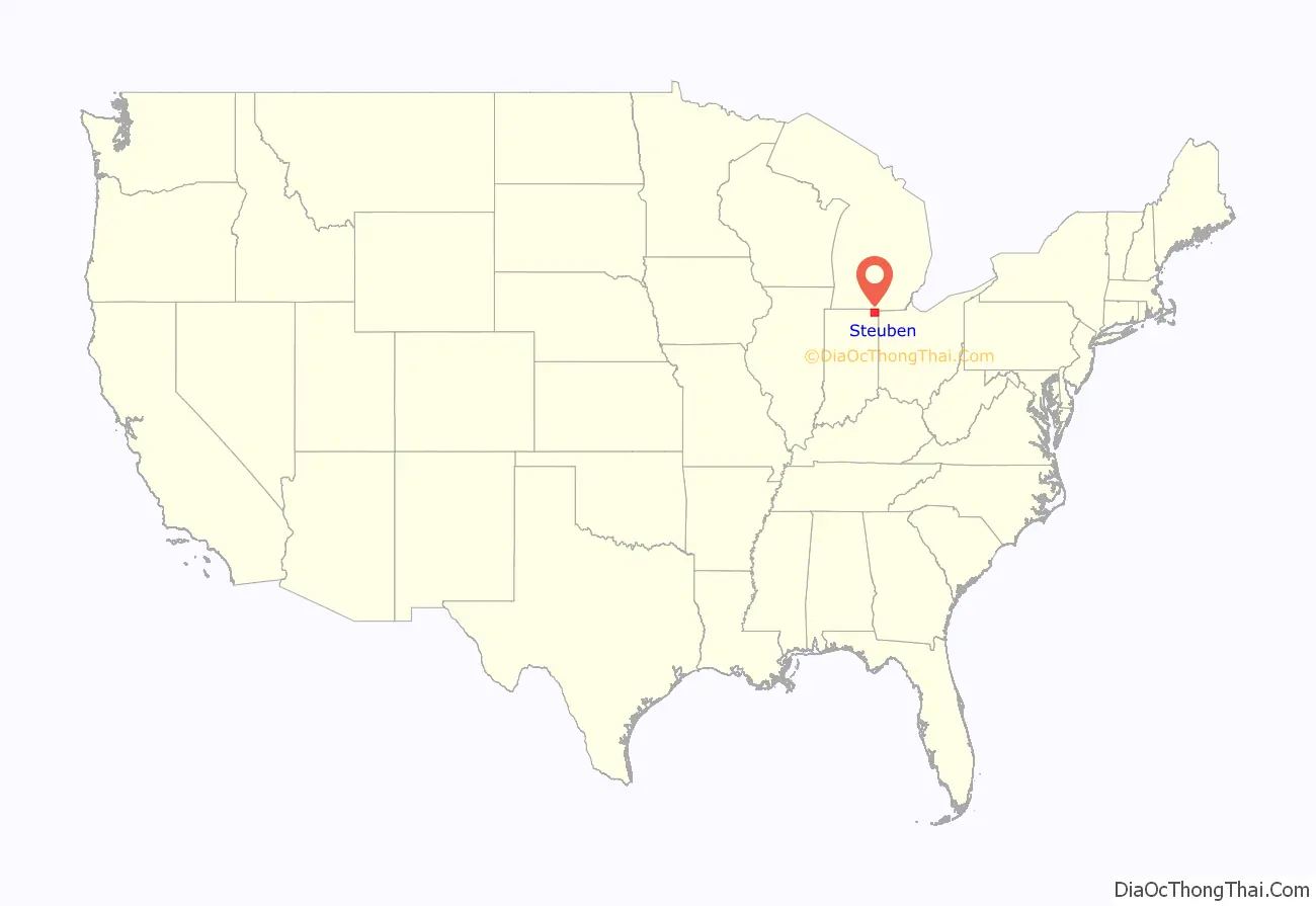
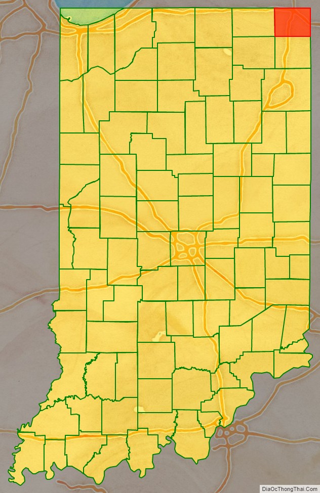
Steuben County is a county in the northeast corner of the U.S. state of Indiana. As of the 2010 United States Census the county population was 34,185. The county seat (and only incorporated city) is Angola. Steuben County comprises the Angola, IN Micropolitan Statistical Area.
| Name: | Steuben County |
|---|---|
| FIPS code: | 18-151 |
| State: | Indiana |
| Founded: | 5 February 1836 (authorized) 1837 (organized) |
| Named for: | Baron Frederick von Steuben |
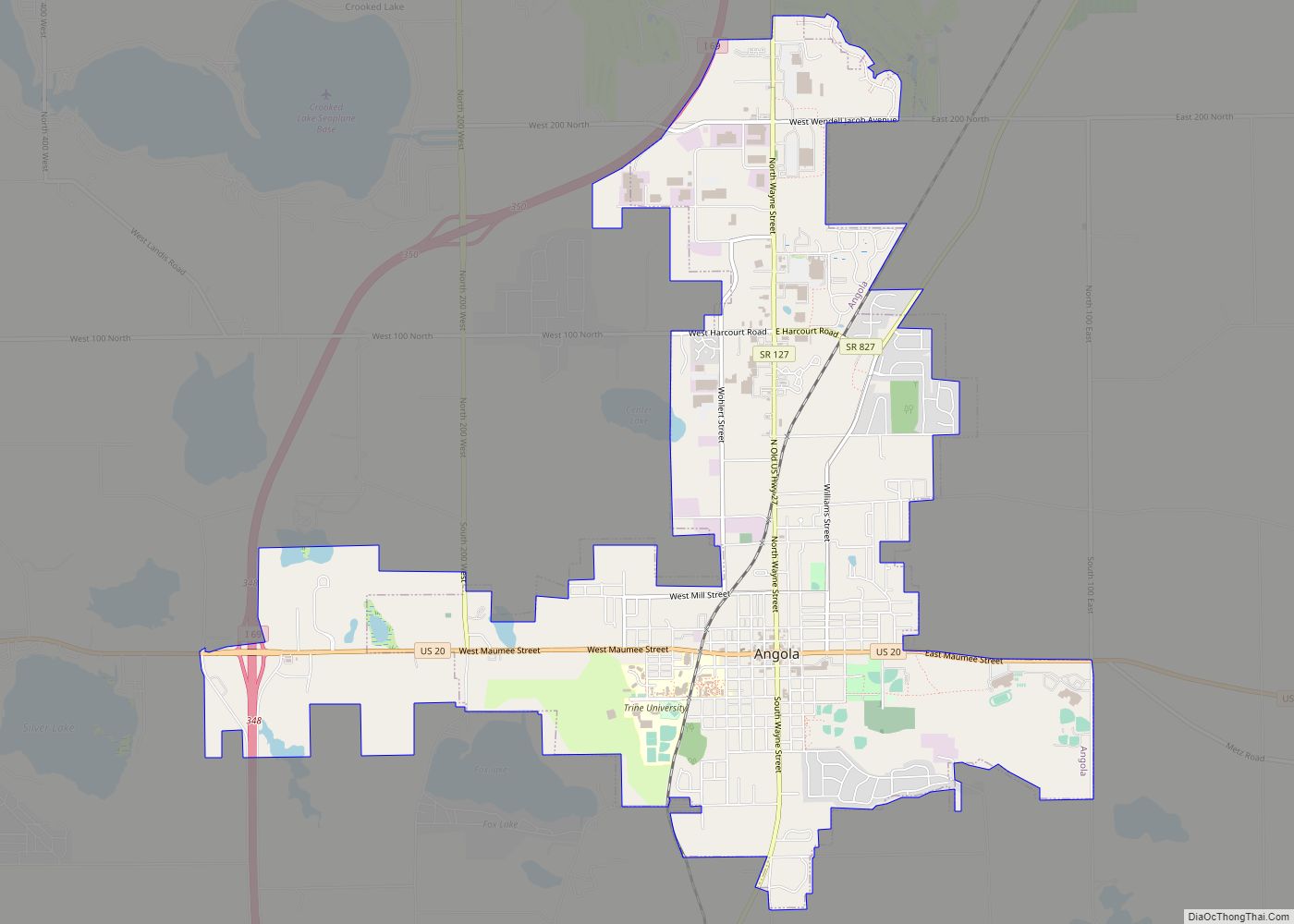
| Seat: | Angola |
| Largest city: | Angola |
| Total Area: | 322.47 sq mi (835.2 km²) |
| Land Area: | 308.94 sq mi (800.2 km²) |
| Population Density: | 112/sq mi (43/km²) |
Steuben County location map. Where is Steuben County?
History
After the American Revolutionary War established US sovereignty over the territory of the upper midwest, the new federal government defined the Northwest Territory in 1787 which included the area of present-day Indiana. In 1800, Congress separated Ohio from the Northwest Territory, designating the rest of the land as the Indiana Territory. President Thomas Jefferson chose William Henry Harrison as the governor of the territory, and Vincennes was established as the capital. After the Michigan Territory was separated and the Illinois Territory was formed, Indiana was reduced to its current size and geography. By December 1816, the Indiana Territory was admitted to the Union as a state.
This area was historically occupied by the Potawatomi people, one of the tribes in the Council of Three Fires. Typically they lived in highly decentralized bands. Treaties signed by some leaders with United States representatives ceded large areas of their territory to the US. Starting in 1794, Native American titles to Indiana lands were extinguished by usurpation, purchase, or war and treaty. The United States acquired land from the Native Americans in the 1809 treaty of Fort Wayne, by the treaty of St. Mary’s in 1818, and in 1826 by the Treaty of Mississinewas, which included the future Steuben County.
The Indiana State Legislature passed an omnibus county bill on 7 February 1835 that authorized the creation of thirteen counties in northeast Indiana, including Steuben. In 1837 the county was organized. It was named for Baron Frederick von Steuben, an officer of the American Revolutionary War. In 1840 the Potawatomi were forcibly removed from this area and neighboring territory in Michigan and Ohio to Indian Territory in Kansas.
A Potawatomi chief, Baw Beese, led a band that was based at what later became known as Baw Beese Lake nearby in Michigan. His daughter Winona married Negnaska and lived in what is now Indiana. She was executed in the 1830s by her husband’s people after she killed Negnaska for selling her pony. Winona’s husband had pledged his rifle to Aaron B. Goodwin of Fremont for the use of a 5-gallon keg. The Indians had the keg filled with whiskey at Nichols’ store in Jamestown, and he took all the money they had. Negnaska sold his wife Winona’s pony in order to pawn his rifle. Winona owned the pony outright, either as a gift from her father or having bought it with her own money. She killed Negnaska in anger for selling what was hers. Winona was held by the tribe for a few hours until her husband’s nearest relative arrived to execute her. As was their custom, he stabbed her to the heart as she had her husband.
John D. Barnard and Sheldon Havens encountered the Potawatomi group after the execution; they helped them move the bodies to a nearby grave that had been dug. The Indians did not bury the bodies until after the white men were out of sight. But Dr. B.F. Sheldon found out about it and exhumed the bodies for dissection a few days later, outraging the mourning Potawatomi. About two weeks later some Potawatomi returned the keg to Goodwin and tried to retrieve Negnaska’s rifle, but Goodwin pretended not to know the man had been killed and refused to release the rifle to his friends.
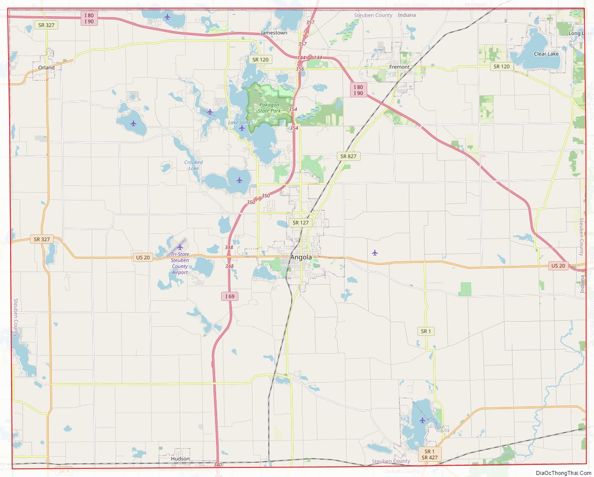
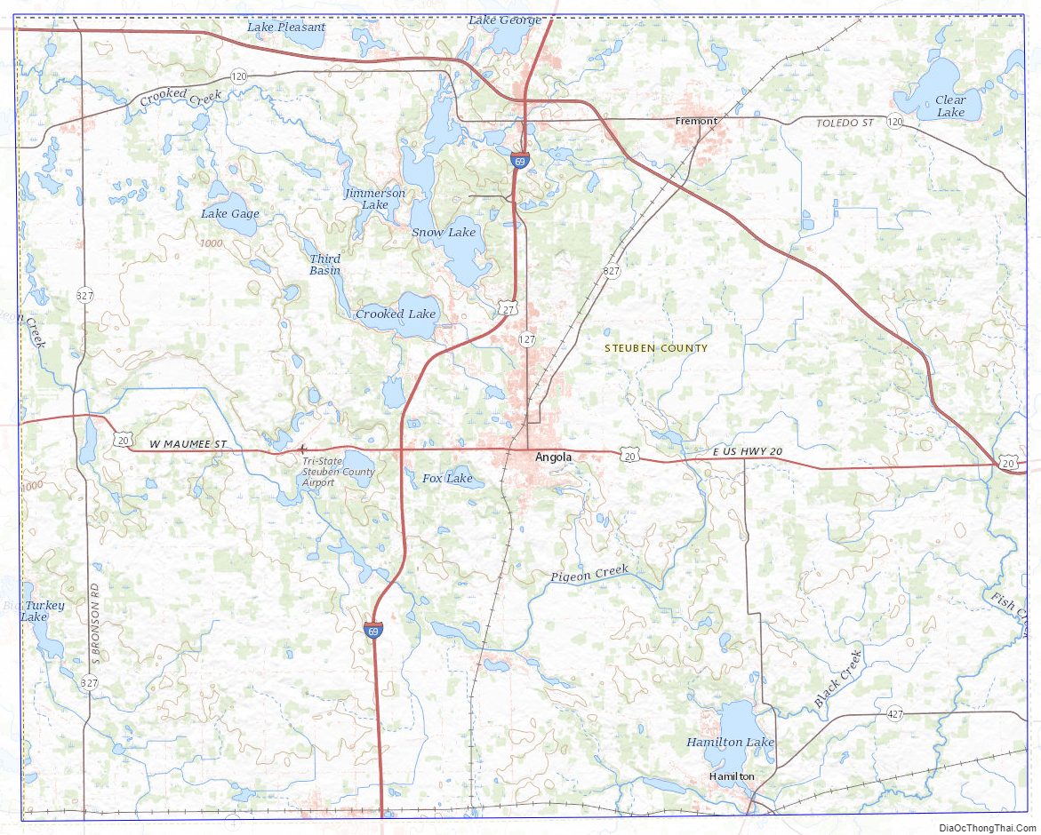
Steuben County Road Map
Geography
The county’s low rolling hills have been largely cleared and leveled for agricultural use, although the drainage areas are still wooded. The highest point (1,200 feet/370 meters ASL) is a hillock one mile (1.6 km) east of Glen Eden.
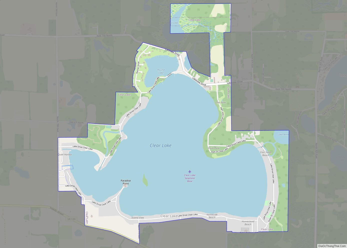
The county contains a state park and 105 lakes of various sizes. Some of the larger lakes are Lake James, Lake George, Clear Lake, Jimmerson Lake, Lake Gage, and Crooked Lake.
According to the 2010 census, the county has a total area of 322.47 square miles (835.2 km), of which 308.94 square miles (800.2 km) (or 95.80%) is land and 13.53 square miles (35.0 km) (or 4.20%) is water.
Adjacent counties
- Branch County, Michigan – north
- Hillsdale County, Michigan – northeast
- Williams County, Ohio – east
- DeKalb County – south
- Noble County – southwest
- LaGrange County – west
Major highways
- Indiana Toll Road (Interstate 80 and Interstate 90)
- Interstate 69
- U.S. Route 20
- State Road 1
- State Road 120
- State Road 127
- State Road 327
- State Road 427
- State Road 827
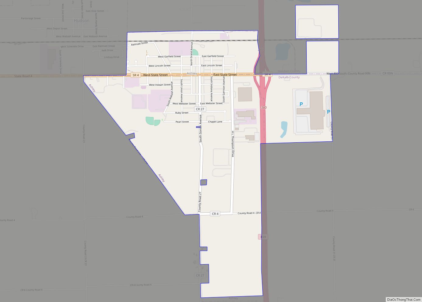
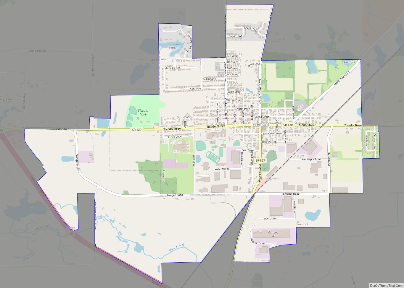
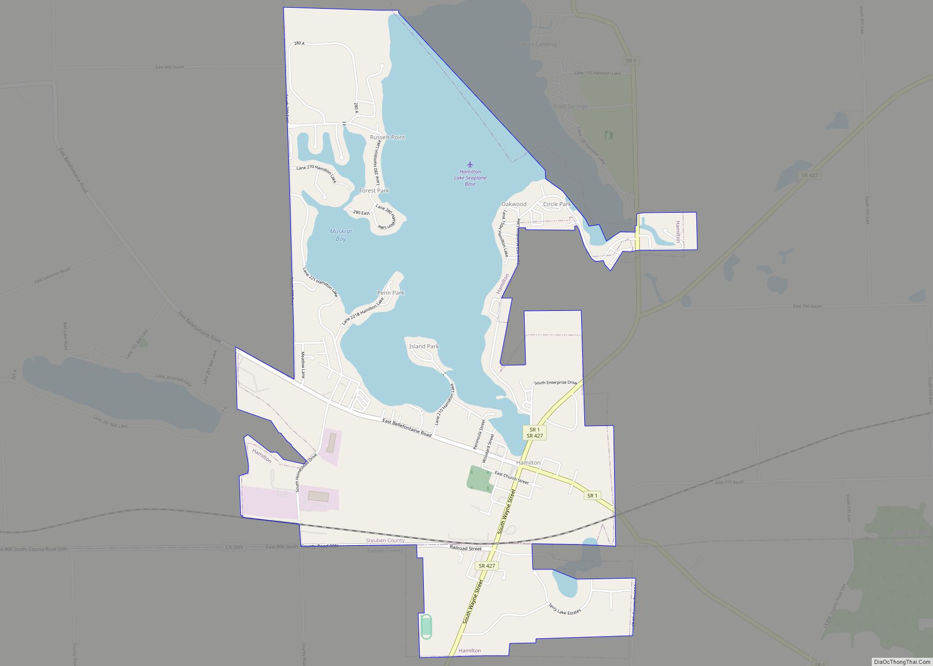
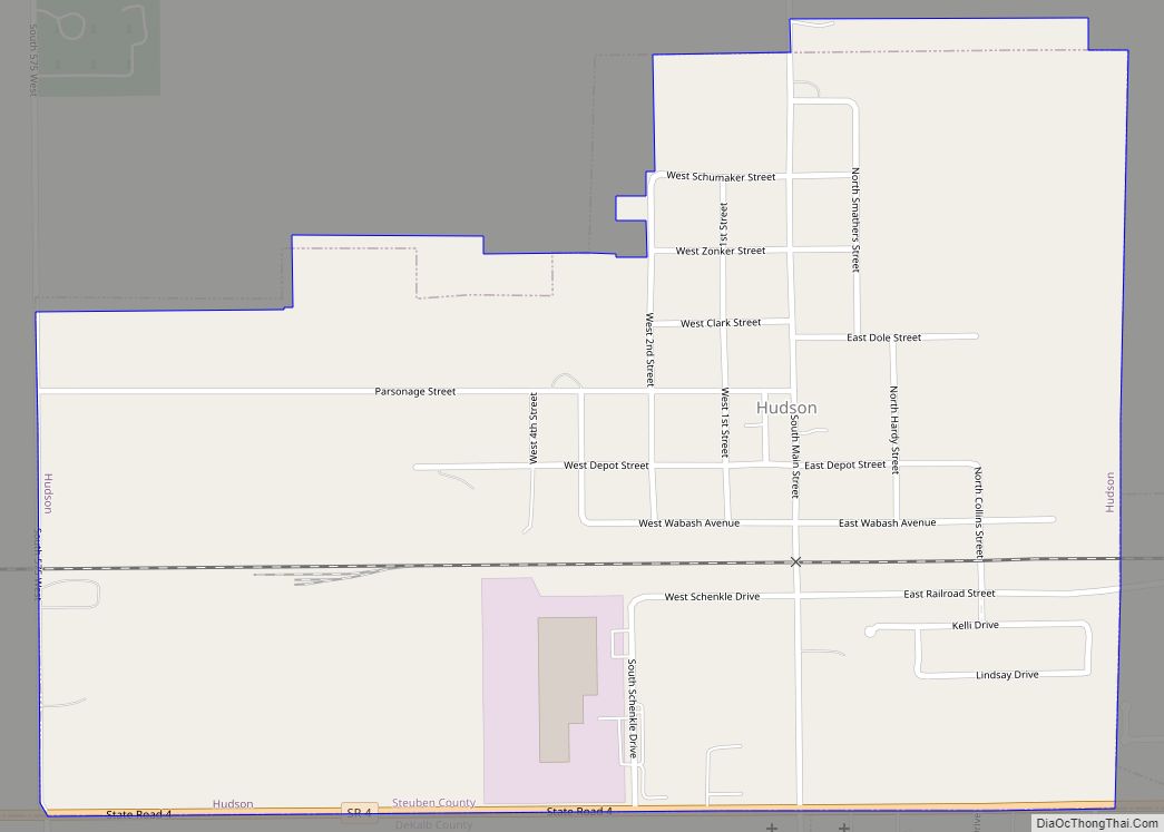
City and towns
Unincorporated communities
- Alvarado
- Berlien
- Clarks Landing
- Cold Springs
- Courtney Corner
- Crooked Lake
- Ellis
- Flint
- Forest Park
- Fountain Park
- Glen Eden
- Helmer
- Indian Hills
- Inverness
- Island Park
- Jamestown
- Lake James
- Lakeside Park
- Meadow Shores Park
- Metz
- Moonlight
- Nevada Mills
- Oakwood
- Otsego Center
- Page
- Panama
- Penn Park
- Pleasant Lake
- Ravinia Oaks
- Ray
- Russels Point
- Salem Center
- Steubenville
- Turkey Creek
- Westview
- Wildwood
- York
Townships
- Clear Lake
- Fremont
- Jackson
- Jamestown
- Millgrove
- Otsego
- Pleasant
- Richland
- Salem
- Scott
- Steuben
- York
Protected areas
- Cedar Lake Wetlands Conservation Area
- Marsh Lake Wetlands State Fish and Wildlife Area
- Pokagon State Park
Steuben County Topographic Map
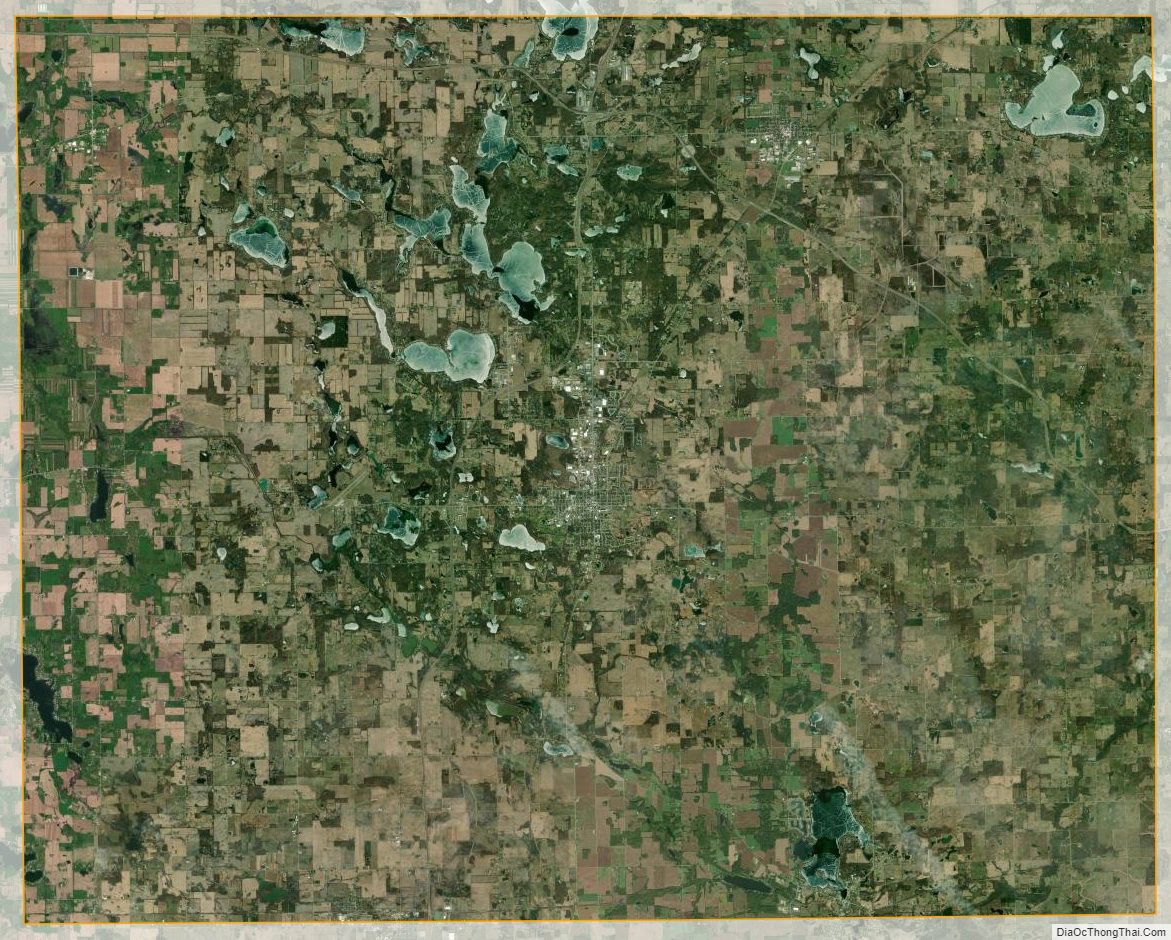
Steuben County Satellite Map
Steuben County Outline Map