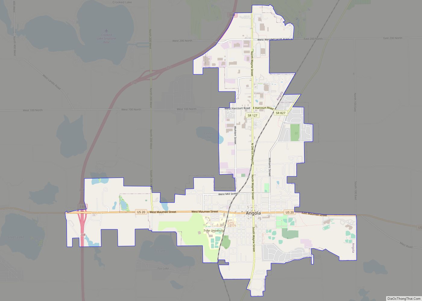
Angola is a city in Pleasant Township, Steuben County, Indiana, United States. The population was 8,612 at the 2010 census. The city is the county seat of Steuben County. Angola was founded by Thomas Gale and Cornelius Gilmore on June 28, 1838, and is home to Trine University. The town is served by I-69 and the Indiana Toll Road (I-80 and I-90).
| Name: | Angola city |
|---|---|
| LSAD Code: | 25 |
| LSAD Description: | city (suffix) |
| State: | Indiana |
| County: | Steuben County |
| Elevation: | 1,063 ft (324 m) |
| Total Area: | 6.54 sq mi (16.94 km²) |
| Land Area: | 6.49 sq mi (16.82 km²) |
| Water Area: | 0.05 sq mi (0.12 km²) |
| Total Population: | 9,340 |
| Population Density: | 1,438.69/sq mi (555.45/km²) |
| ZIP code: | 46703 |
| Area code: | 260 |
| FIPS code: | 1801666 |
| Website: | www.angolain.org |
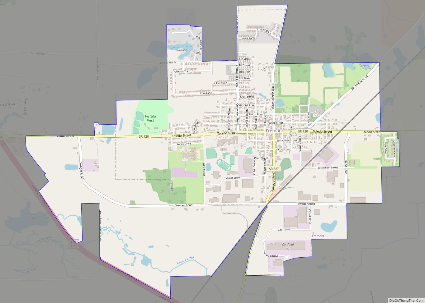
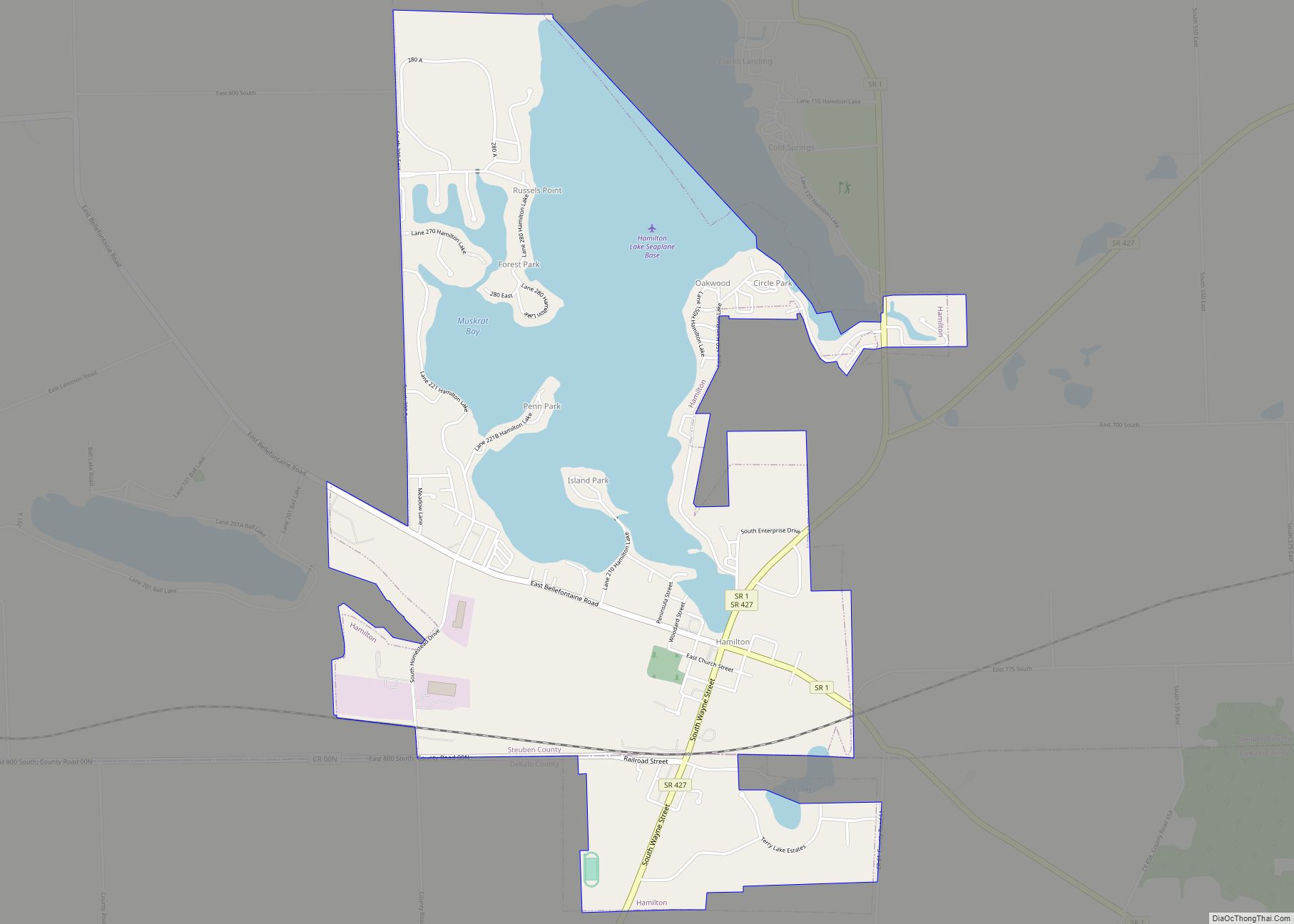
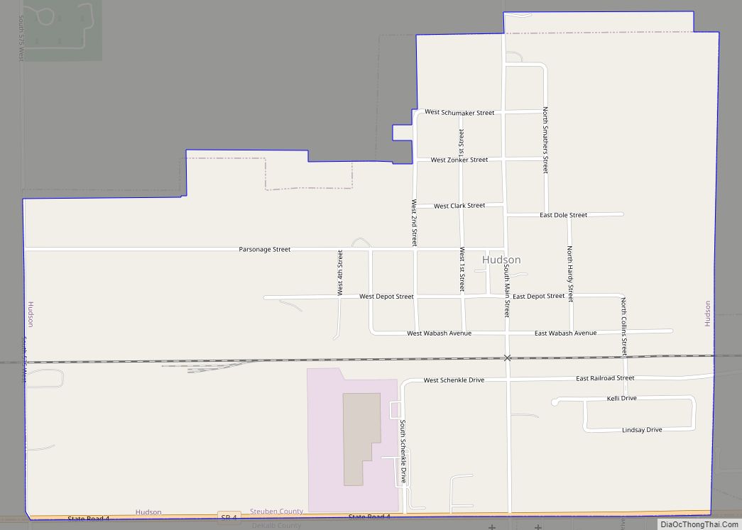
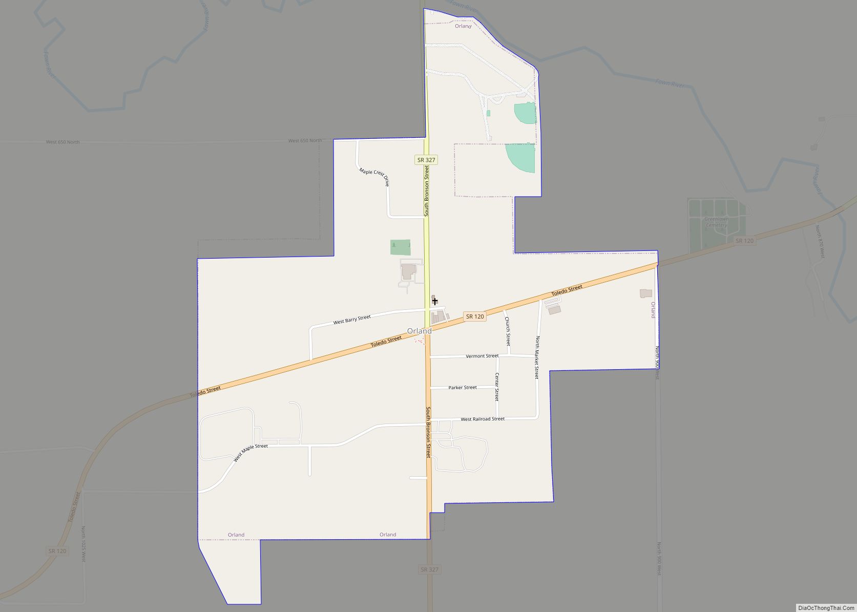
Online Interactive Map
Click on ![]() to view map in "full screen" mode.
to view map in "full screen" mode.
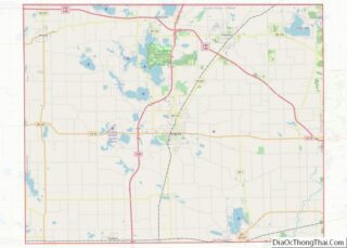
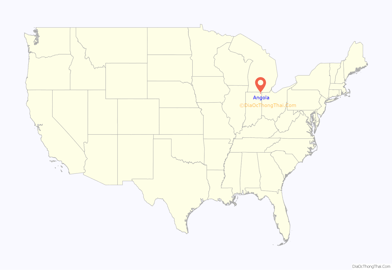
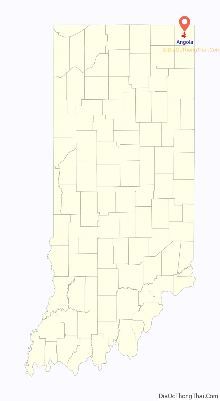
Angola location map. Where is Angola city?
History
The Angola post office has been in operation since 1838.
Some of the first settlers came from Angola, New York, and they named their new home after their old one.
The Angola Commercial Historic District, Steuben County Courthouse, and Steuben County Jail are listed on the National Register of Historic Places.
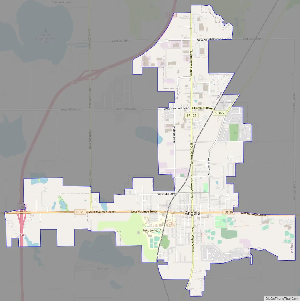
Angola Road Map
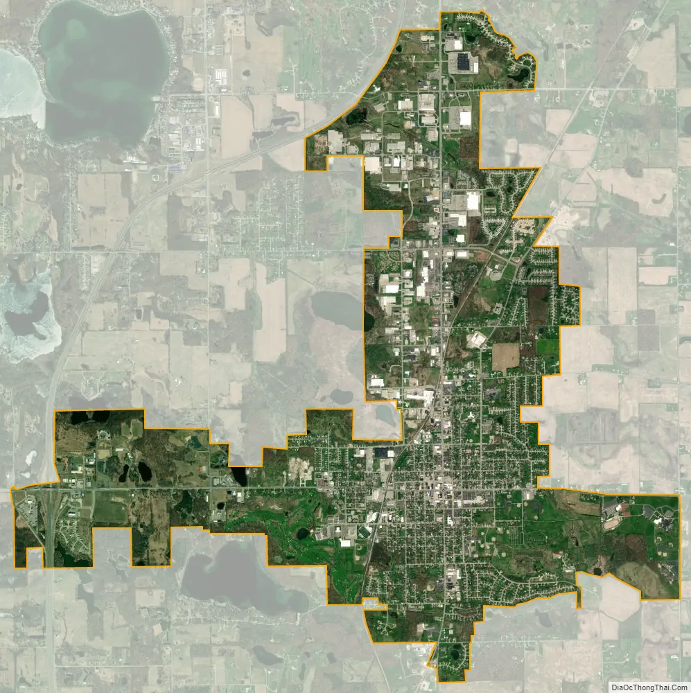
Angola city Satellite Map
Geography
The center of Angola is located at 41°38′13″N 85°0′3″W / 41.63694°N 85.00083°W / 41.63694; -85.00083, the intersection of U.S. 20 and State Road 127. The roads are known to the citizens of Angola as North and South Wayne street and West and East Maumee street.
According to the 2010 census, Angola has a total area of 6.387 square miles (16.54 km), of which 6.34 square miles (16.42 km) (or 99.26%) is land and 0.047 square miles (0.12 km) (or 0.74%) is water.
See also
Map of Indiana State and its subdivision:- Adams
- Allen
- Bartholomew
- Benton
- Blackford
- Boone
- Brown
- Carroll
- Cass
- Clark
- Clay
- Clinton
- Crawford
- Daviess
- De Kalb
- Dearborn
- Decatur
- Delaware
- Dubois
- Elkhart
- Fayette
- Floyd
- Fountain
- Franklin
- Fulton
- Gibson
- Grant
- Greene
- Hamilton
- Hancock
- Harrison
- Hendricks
- Henry
- Howard
- Huntington
- Jackson
- Jasper
- Jay
- Jefferson
- Jennings
- Johnson
- Knox
- Kosciusko
- LaGrange
- Lake
- Lake Michigan
- LaPorte
- Lawrence
- Madison
- Marion
- Marshall
- Martin
- Miami
- Monroe
- Montgomery
- Morgan
- Newton
- Noble
- Ohio
- Orange
- Owen
- Parke
- Perry
- Pike
- Porter
- Posey
- Pulaski
- Putnam
- Randolph
- Ripley
- Rush
- Saint Joseph
- Scott
- Shelby
- Spencer
- Starke
- Steuben
- Sullivan
- Switzerland
- Tippecanoe
- Tipton
- Union
- Vanderburgh
- Vermillion
- Vigo
- Wabash
- Warren
- Warrick
- Washington
- Wayne
- Wells
- White
- Whitley
- Alabama
- Alaska
- Arizona
- Arkansas
- California
- Colorado
- Connecticut
- Delaware
- District of Columbia
- Florida
- Georgia
- Hawaii
- Idaho
- Illinois
- Indiana
- Iowa
- Kansas
- Kentucky
- Louisiana
- Maine
- Maryland
- Massachusetts
- Michigan
- Minnesota
- Mississippi
- Missouri
- Montana
- Nebraska
- Nevada
- New Hampshire
- New Jersey
- New Mexico
- New York
- North Carolina
- North Dakota
- Ohio
- Oklahoma
- Oregon
- Pennsylvania
- Rhode Island
- South Carolina
- South Dakota
- Tennessee
- Texas
- Utah
- Vermont
- Virginia
- Washington
- West Virginia
- Wisconsin
- Wyoming