Stevens County (standard abbreviation: SV) is a county located in the U.S. state of Kansas. As of the 2020 census, the county population was 5,250. Its county seat is Hugoton. The county is named for the Reconstruction era Pennsylvania politician Thaddeus Stevens.
| Name: | Stevens County |
|---|---|
| FIPS code: | 20-189 |
| State: | Kansas |
| Founded: | August 3, 1886 |
| Named for: | Thaddeus Stevens |
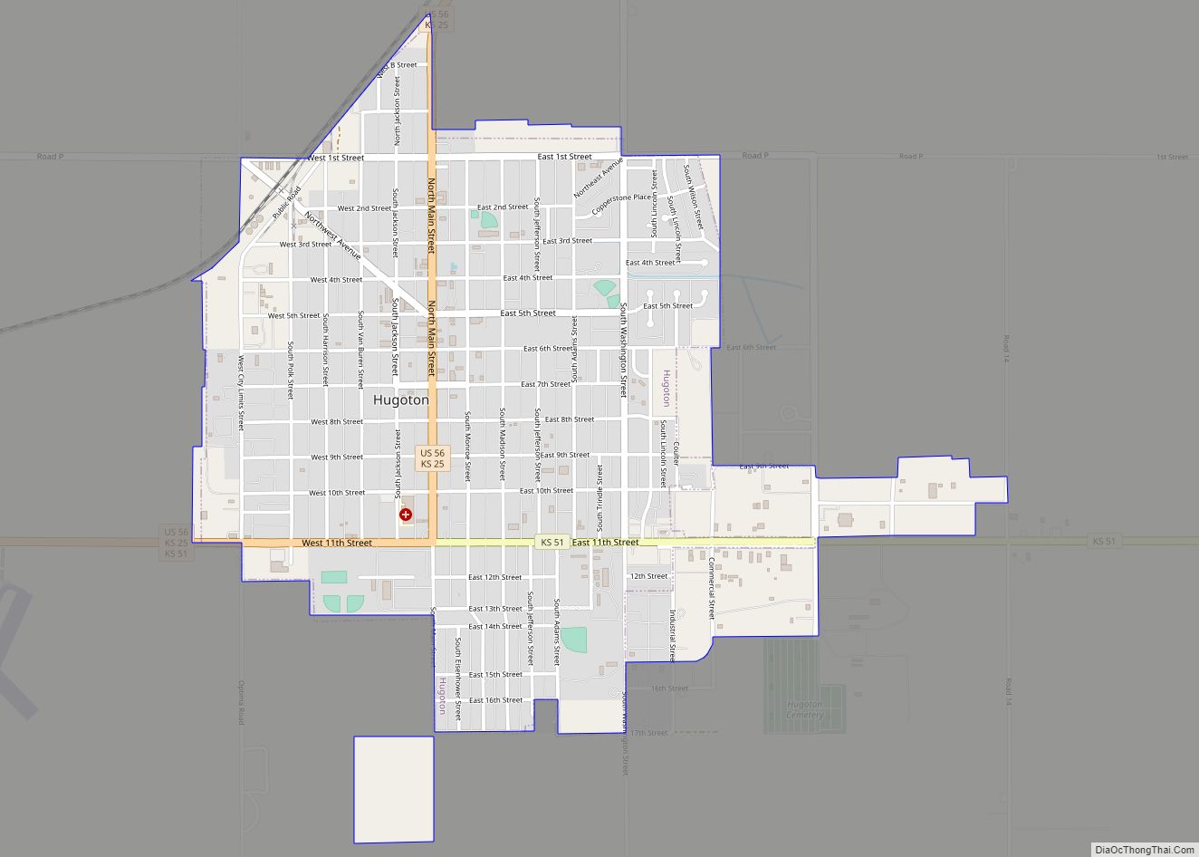
| Seat: | Hugoton |
| Largest city: | Hugoton |
| Total Area: | 727 sq mi (1,880 km²) |
| Land Area: | 727 sq mi (1,880 km²) |
| Total Population: | 5,250 |
| Population Density: | 7.2/sq mi (2.8/km²) |
| Time zone: | UTC−6 (Central) |
| Summer Time Zone (DST): | UTC−5 (CDT) |
| Website: | StevensCoKS.org |
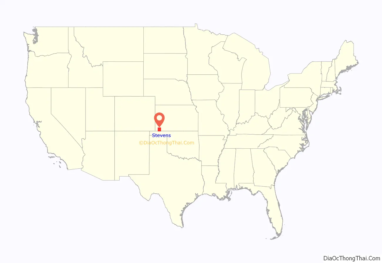
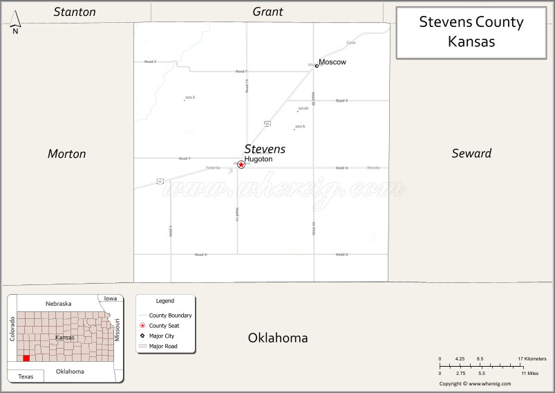
Stevens County location map. Where is Stevens County?
History
19th century
On July 25, 1888, the Hay Meadow Massacre was a violent county seat fight between groups from Hugoton and Woodsdale, where 4 men were murdered.
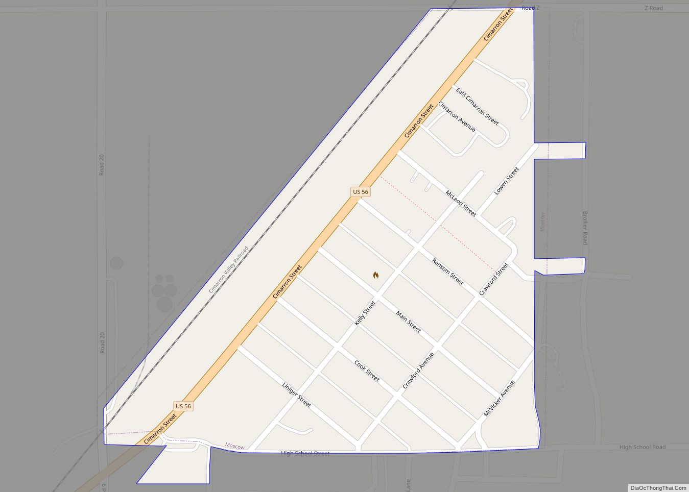
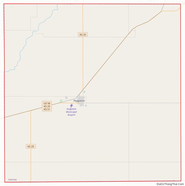
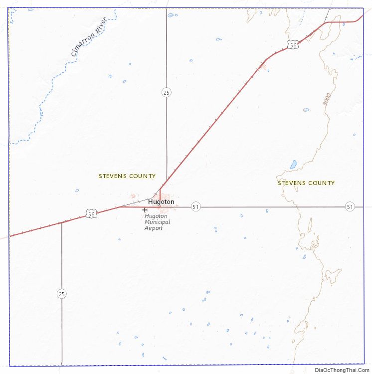
Stevens County Road Map
Geography
According to the U.S. Census Bureau, the county has a total area of 727 square miles (1,880 km), of which 727 square miles (1,880 km) is land and 0.2 square miles (0.52 km) (0.02%) is water.
Major highways
- Kansas Highway 25
- Kansas Highway 51
- U.S. Highway 56
Adjacent counties
- Grant County (north)
- Haskell County (northeast)
- Seward County (east)
- Texas County, Oklahoma (south)
- Morton County (west)
- Stanton County (northwest)
National protected area
- Cimarron National Grassland (part)
Stevens County Topographic Map
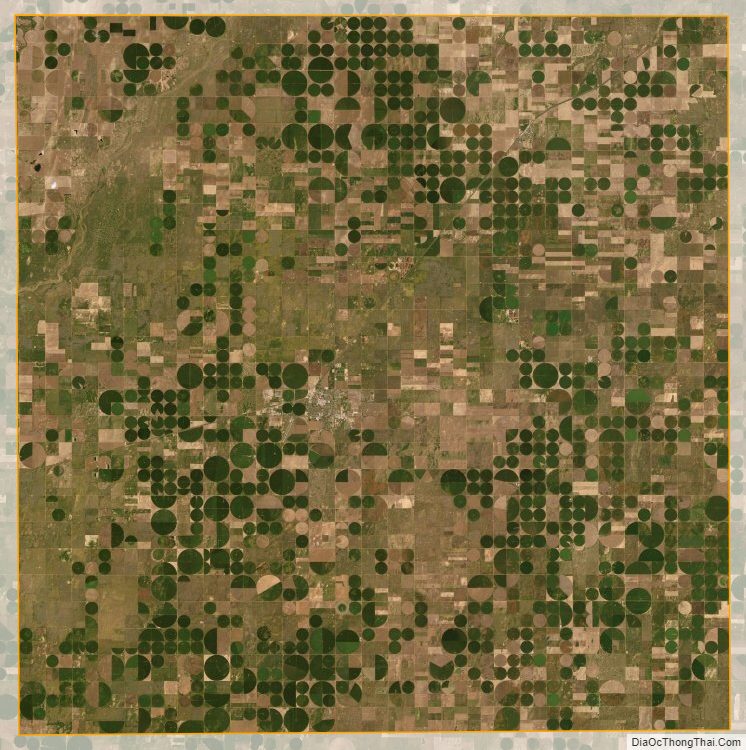
Stevens County Satellite Map
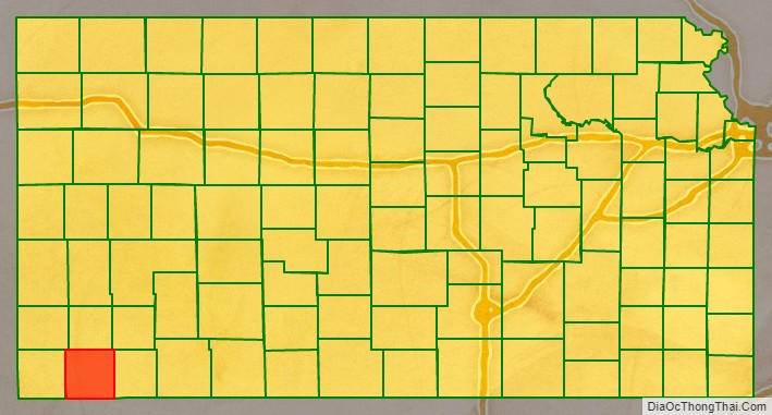
Stevens County Outline Map