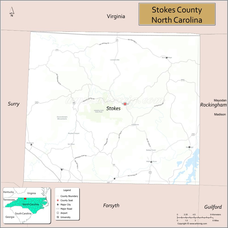
Stokes County is a county located in the U.S. state of North Carolina. As of the 2020 census, the population was 44,520. Its county seat is Danbury.
Stokes County is included in the Winston-Salem, N.C., Metropolitan Statistical Area, which is also included in the Greensboro-Winston-Salem-High Point, N.C., Combined Statistical Area.
| Name: | Stokes County |
|---|---|
| FIPS code: | 37-169 |
| State: | North Carolina |
| Founded: | 1789 |
| Named for: | John Stokes |
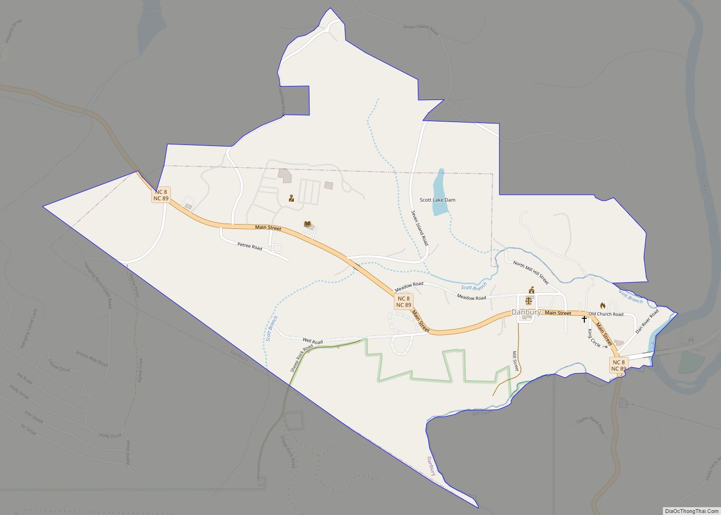
| Seat: | Danbury |
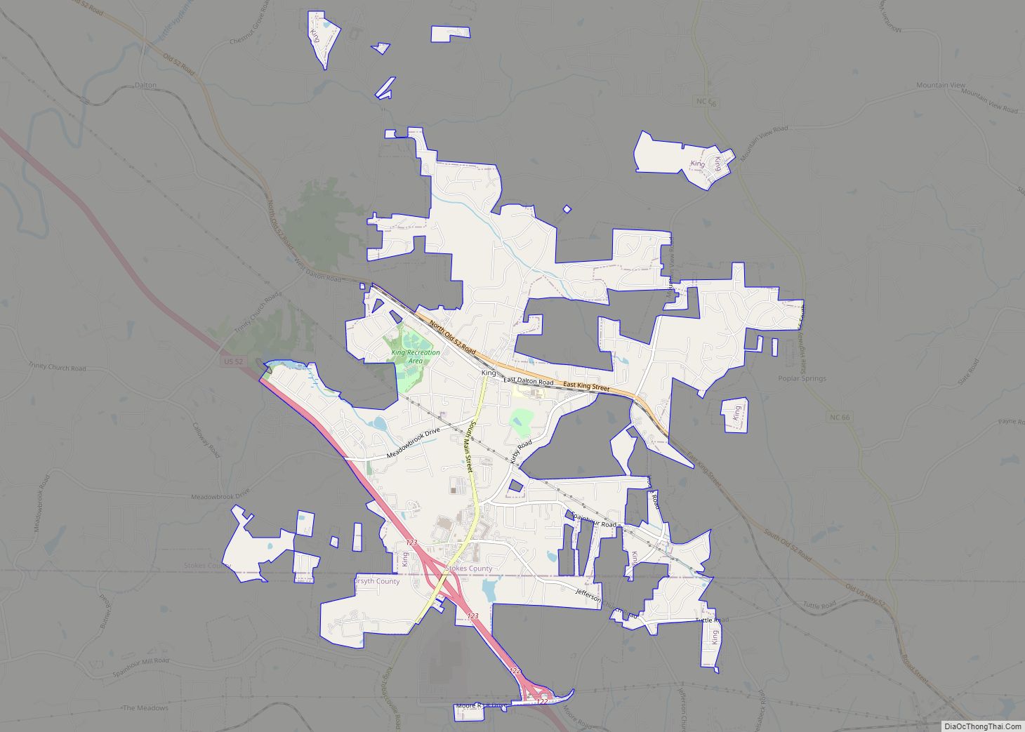
| Largest city: | King |
| Total Area: | 456 sq mi (1,180 km²) |
| Land Area: | 449 sq mi (1,160 km²) |
| Total Population: | 44,553 |
| Population Density: | 99.2/sq mi (38.3/km²) |
| Time zone: | UTC−5 (Eastern) |
| Summer Time Zone (DST): | UTC−4 (EDT) |
| Website: | www.co.stokes.nc.us |
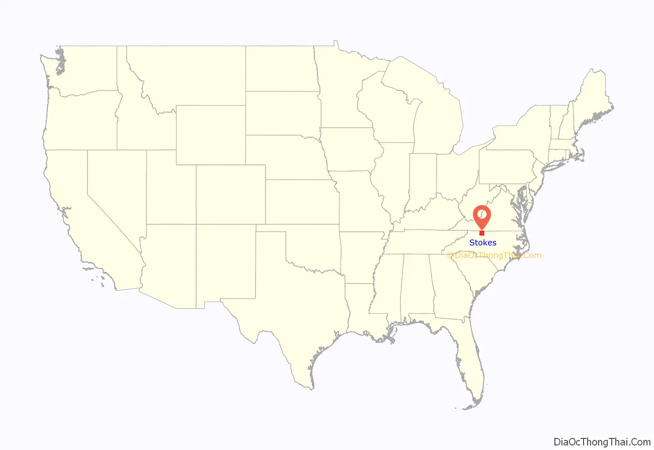
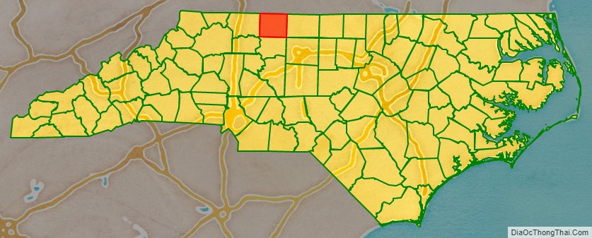
Stokes County location map. Where is Stokes County?
History
The county was formed in 1789 from Surry County, and before 1770, it was part of Rowan County. It was named for John Stokes, an American Revolutionary War captain severely wounded when British Colonel Banastre Tarleton’s cavalry practically destroyed Col. Abraham Buford’s Virginia regiment in the Waxhaws region in 1780. After the war, Captain Stokes was appointed a judge of the United States district court for North Carolina. In 1849 the southern half of Stokes County became Forsyth County.
Stokes was most heavily settled from 1750 to 1775. The Great Wagon Road passed through the eastern portion of the county, and this influenced the pattern of European settlement so that most settlers came from the Virginia Piedmont, and some came from further away in Pennsylvania and other colonies.
During the American Civil War, Moratock Iron Furnace located near Danbury served as a foundry for the Confederate Army. It was destroyed in April 1865 when Union cavalry under the command of General George Stoneman conducted extensive raiding through the region.
Hanging Rock State Park was formed primarily from blocks of land donated in 1936 and contained 6,921 acres (28.01 km) in 2005. Many of the facilities in the park were built by the Civilian Conservation Corps between 1935 and 1942. The park is located atop the Sauratown Mountains, and contains a visitor’s center, a manmade lake, and plenty of hiking trails, climbing trails, picnic areas, and primitive campgrounds.
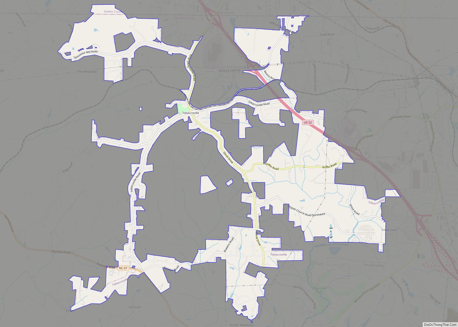
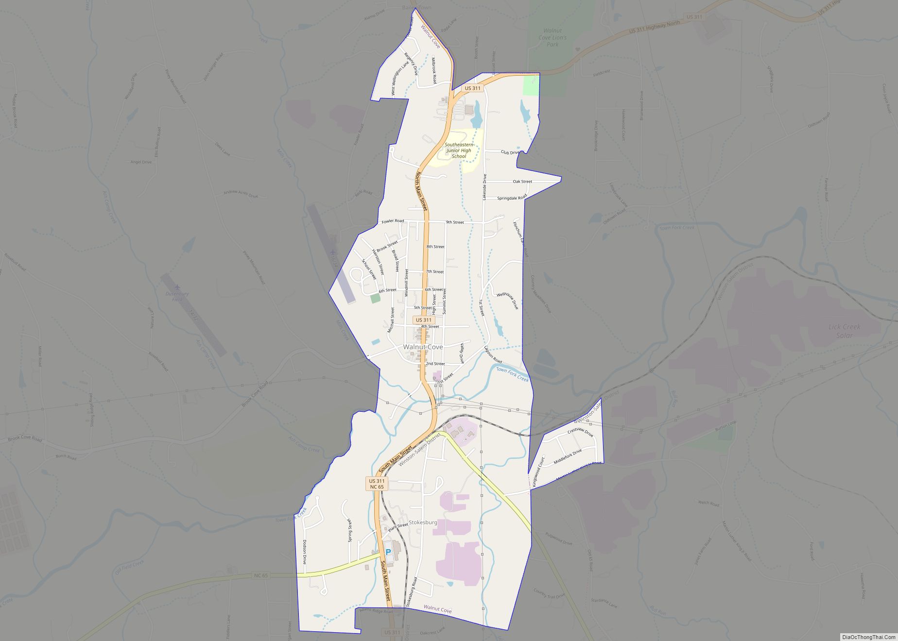
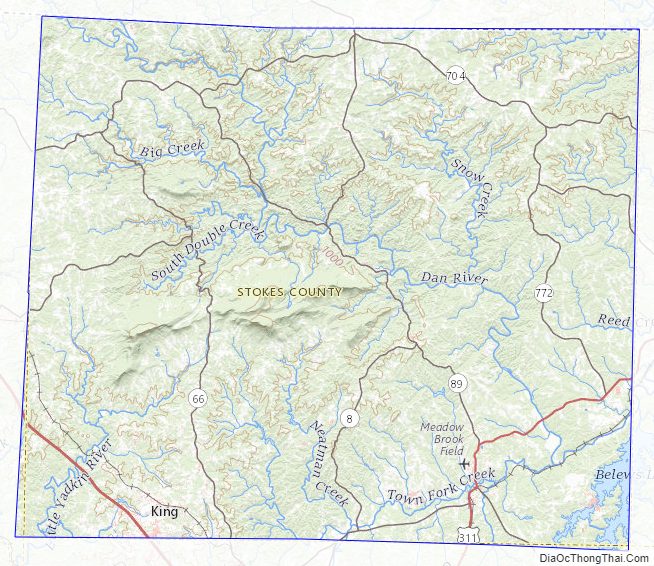
Stokes County Road Map
Geography
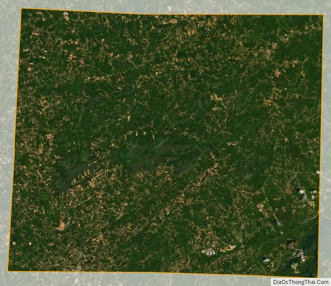
According to the U.S. Census Bureau, the county has a total area of 456 square miles (1,180 km), of which 449 square miles (1,160 km) is land and 6.8 square miles (18 km) (1.5%) is water.
The county lies within the Piedmont region of western North Carolina, and most of the terrain consists of gently rolling countryside. The county is part of Appalachia, though, and the Sauratown Mountains run across the center of the county. The Sauras are named after the Saura Native American tribe which lived in the county before European settlement. A chain of jagged ridges, the Sauratown Mountains are an isolated remnant of the Blue Ridge Mountains far to the west. Although the Sauratown Mountains occupy only 5% of Stokes County, they dominate the scenery from almost any direction, abruptly rising from 800 to 1,700 feet (520 m) above the surrounding terrain. Moore’s Knob, the highest point in the chain, rises to 2,579 feet (786 m). Most of the county is less than 1,000 feet (300 m) above sea level. The Dan River runs from the northwest corner to the southeastern section of Stokes County (covering over 56 miles of river recreation). Stokes County is home to Hanging Rock State Park and also has the vast majority of Belews Lake (located in the southeast corner).
Climate and weather
The climate in Stokes County can be described as mixed-humid, with the Köppen Climate Classification subtype being Cfa. In the county seat of Danbury an average of 39.73″ of rain and 9.0″ of snow falls per year. Temperatures normally range between a low of 24.2 °F (−4.3 °C) in January to a high of 89 °F 87.7 °F (30.9 °C) in July. Record extremes include: A maximum temperature reading of 103.0 °F (39.4 °C) on August 21, 1983. A minimum temperature reading of −10 °F (−23 °C) on January 21, 1985. A three-day accumulated snowfall record of 34.0″ was set during the Blizzard of 1996.
State and local protected areas
- East Walnut Cove Community Park
- Hanging Rock State Park
Major water bodies
- Belews Creek
- Belews Lake
- Big Beaver Island Creek
- Big Creek
- Buffalo Creek
- Crooked Creek
- Dan River
- Flat Shoal Creek (Ararat River tributary)
- Little Dan River
- Little Neatman Creek
- Little Peters Creek
- Little Yadkin River
- Mill Creek
- Neatman Creek
- Oldfield Creek (Ararat River tributary)
- Peters Creek
- Pinch Gut Creek
- Snow Creek
- Vade Mecum Creek
Adjacent counties
- Patrick County, Virginia – north
- Henry County, Virginia – north
- Rockingham County – east
- Forsyth County – south
- Surry County – west
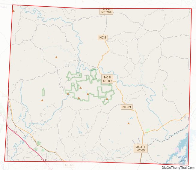
Major highways
- Future I-74 (Concurrency with US 52)
- US 52
- US 311
- NC 8
- NC 65
- NC 66
- NC 89
- NC 268
- NC 704
- NC 770
- NC 772
Stokes County Topographic Map
Stokes County Satellite Map
Stokes County Outline Map