| Name: | Patrick County |
|---|---|
| FIPS code: | 51-141 |
| State: | Virginia |
| Founded: | 1791 |
| Named for: | Patrick Henry |
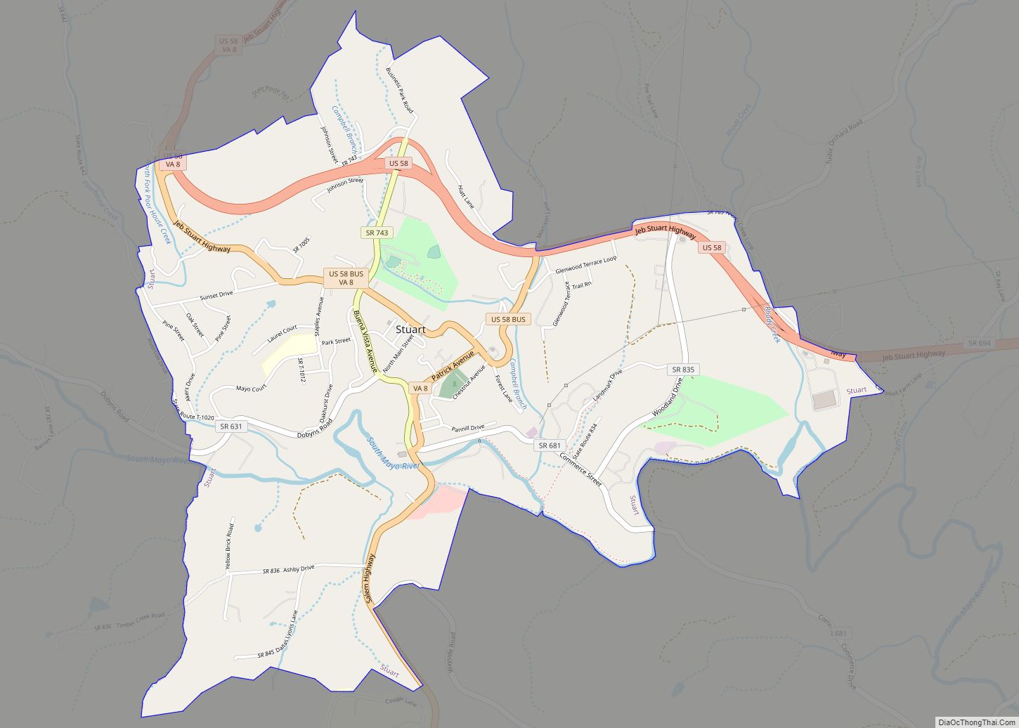
| Seat: | Stuart |
| Largest town: | Stuart |
| Total Area: | 486 sq mi (1,260 km²) |
| Land Area: | 483 sq mi (1,250 km²) |
| Total Population: | 17,608 |
| Population Density: | 36/sq mi (14/km²) |
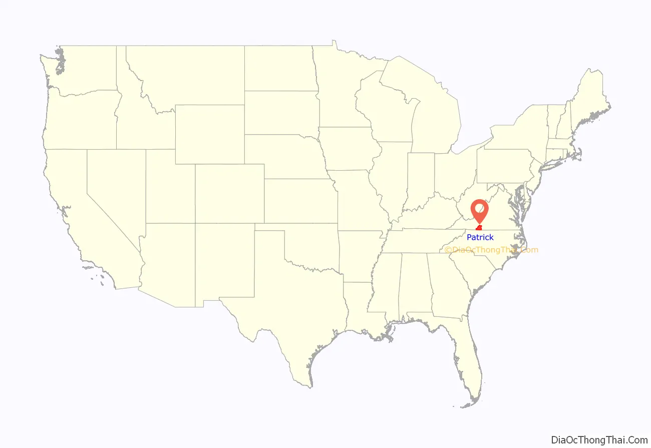
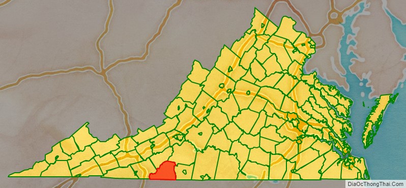
Patrick County location map. Where is Patrick County?
History
Patrick County was formed in 1791, when Patrick Henry County was divided into Patrick County and Henry County. Patrick Henry County was named for Patrick Henry, and was formed in 1777.
Prior to the formation of Patrick County, one of the Virginia colony’s first frontier forts lay within the boundaries of what was then Halifax County on the banks of the North Mayo River. The location of Fort Mayo, now marked by a Virginia state historic marker, lies within present-day Patrick County. One of a number of such forts built by Virginia colonists from the Potomac River south to North Carolina, it was commanded by Captain Samuel Harris in 1756, the year in which George Washington made a tour of Fort Mayo and several other forts on the Virginia frontier. Fort Mayo was the southernmost of the Virginia frontier forts and saw action during the French and Indian War (1754-1763) between the English and French and associated Native American allies.
One of Patrick County’s most prominent early settlers was Col. Abraham Penn (sometimes written Abram Penn), born in 1743 in what is today Amherst County, Virginia. Penn qualified as Lieutenant in the Amherst County militia in June 1768, and led a company under Col. Andrew Lewis at the Battle of Point Pleasant in 1774. Penn later moved with his wife Ruth (née Stovall) to present-day Henry County, Virginia, where he patented lands at the later site of Beaver Creek Plantation. Penn served on the Committee of Safety for both Henry and Pittsylvania counties, and as a delegate to the Virginia General Assembly from Henry County.
Eventually selling those lands to the Hairston family, Penn moved with his family a few miles farther west to what is today Patrick County, where he built his plantation home Poplar Grove. During the American Revolution, Col. Penn ordered the muster of some 300 militiamen under his command to march south to aid General Nathanael Greene at the battle of Guilford Court House. Historians question whether the troops arrived in time for the fighting.
It is documented that Penn commanded militia in the Battle of Eutaw Springs. Penn was later present at Yorktown to witness the surrender of the British forces under General Cornwallis.
Col. Penn was one of the organizers of Patrick County, which he served many years as a justice. The unincorporated community of Penn’s Store is named for Col. Penn and his descendants. The Abram Penn Highway in Patrick County is named for Col. Penn, who died in 1801.
On October 24, 2004, a private corporate plane crashed on Bull Mountain, killing all eight passengers and two crew, including Busch Series racer Ricky Hendrick and Hendrick Motorsports lead engine builder Randy Dorton.
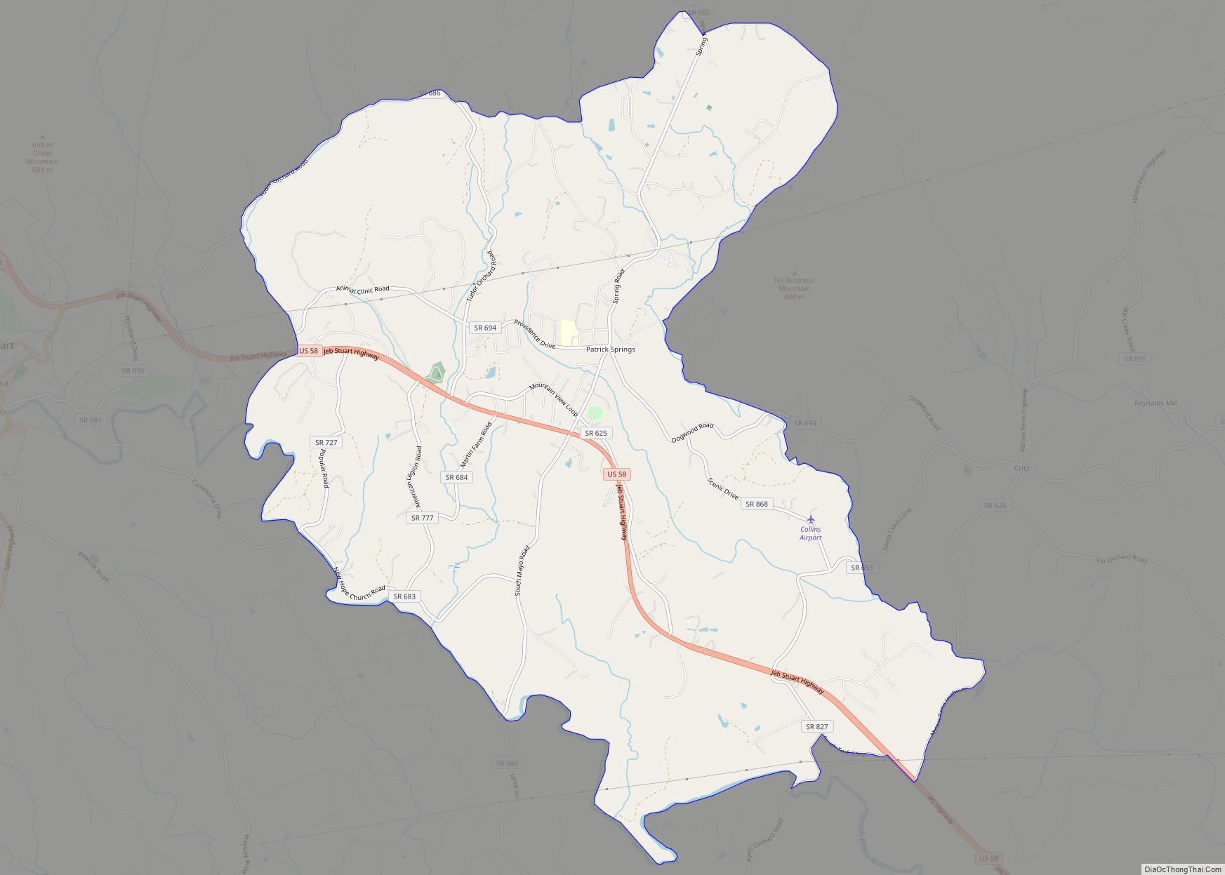
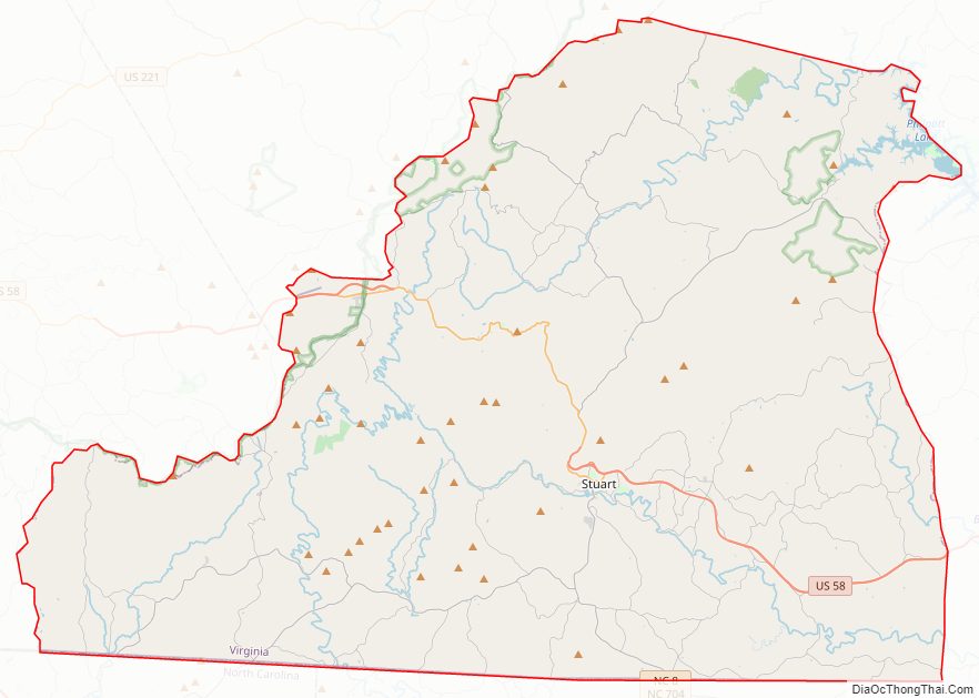
Patrick County Road Map
Geography
According to the U.S. Census Bureau, the county has a total area of 486 square miles (1,260 km), of which 483 square miles (1,250 km) is land and 2.8 square miles (7.3 km) (0.6%) is water.
Patrick County has two defined physiographic provinces lying within its boundaries. One-third of Patrick County is in the rolling Piedmont region, and the remaining two-thirds are in the picturesque Blue Ridge Mountains, where the Blue Ridge Parkway forms the county’s western border with Carroll and Floyd counties to the north.
Adjacent counties
- Carroll County, Virginia – west
- Floyd County, Virginia – northwest
- Franklin County, Virginia – northeast
- Henry County, Virginia – east
- Stokes County, North Carolina – south
- Surry County, North Carolina – southwest
National protected areas
- Blue Ridge Parkway (part) including Rocky Knob Recreation Area (part)
Major highways
- US 58
- Blue Ridge Parkway
- SR 8
- SR 40
- SR 57
- SR 103
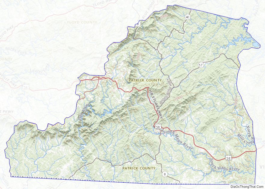
Patrick County Topographic Map
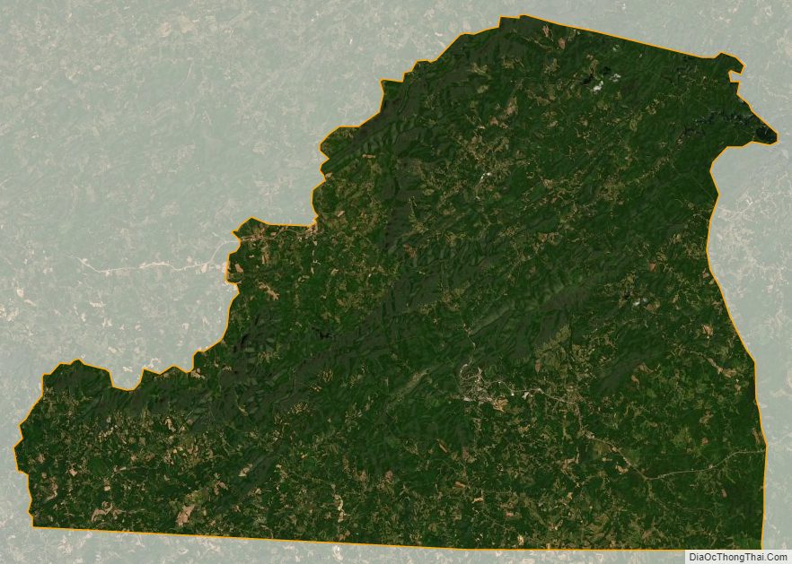
Patrick County Satellite Map
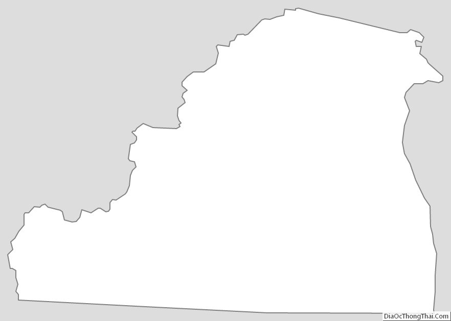
Patrick County Outline Map