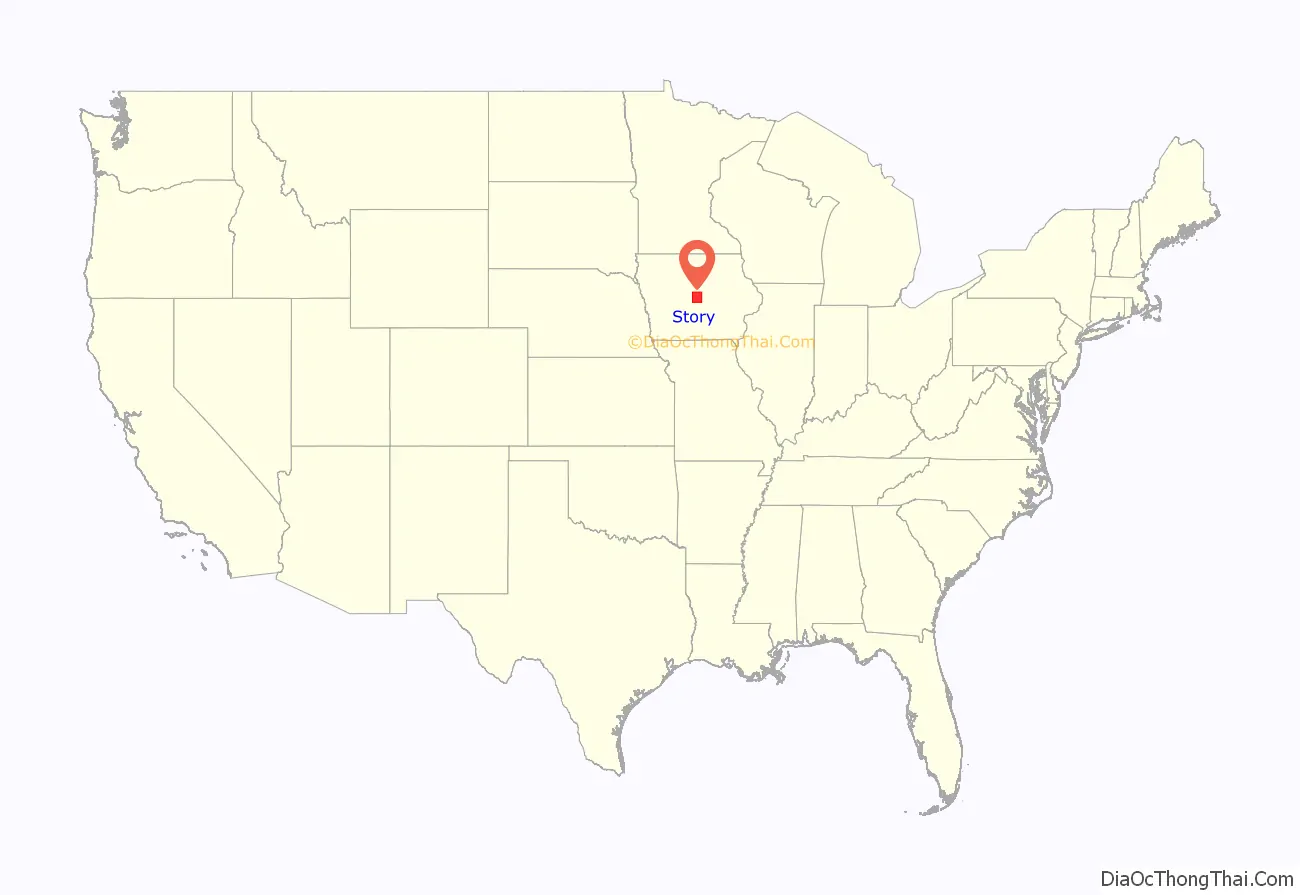
Story County is a county in the U.S. state of Iowa. As of the 2020 census, the population was 98,537, making it the ninth-most populous county in Iowa. The county seat is Nevada; the largest city is Ames. The geographical center of Iowa lies in Story County, 5 miles (8.0 km) northeast of Ames.
Story County comprises the Ames, IA Metropolitan Statistical Area, which is included in the Des Moines–Ames–West Des Moines, IA Combined Statistical Area.
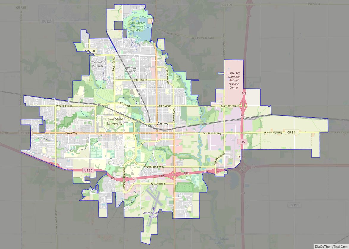
The county is home to Iowa State University in Ames.
| Name: | Story County |
|---|---|
| FIPS code: | 19-169 |
| State: | Iowa |
| Founded: | 1846 |
| Named for: | Joseph Story |
| Seat: | Nevada |
| Largest city: | Ames |
| Total Area: | 574 sq mi (1,490 km²) |
| Land Area: | 573 sq mi (1,480 km²) |
| Total Population: | 98,537 |
| Population Density: | 170/sq mi (66/km²) |
| Time zone: | UTC−6 (Central) |
| Summer Time Zone (DST): | UTC−5 (CDT) |
| Website: | www.storycountyiowa.gov |
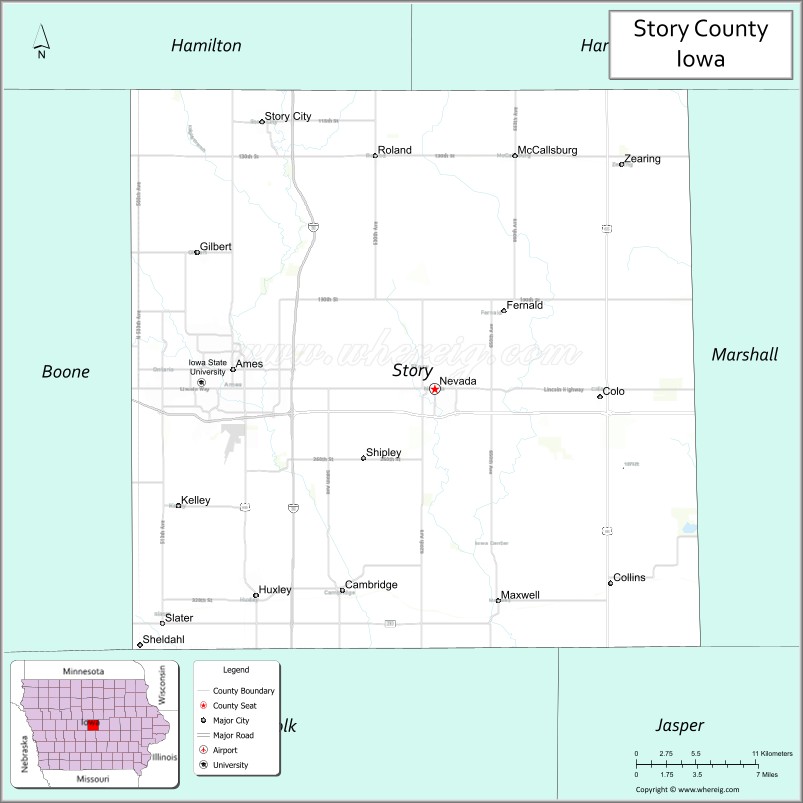
Story County location map. Where is Story County?
History
The land that today is known as Story County was originally prairie with the exception of some groves along the larger streams in the area. In 1846 the boundaries of Story County were established. The county has an area of 576 square miles (1,490 km) and is square in shape.
The county was named after Joseph Story, a preeminent United States Supreme Court Justice, in 1853. The first settlers to the area came from Indiana, then from the New England states of New York and Pennsylvania. Later, many Norwegians, Germans and Danes came directly from overseas and inhabited the area. The first large population influx occurred during the 1850s. Story County was not mentioned in the Federal Census in 1850, but figures from the State of Iowa put the population at 214 in 1852. By 1860 the population had increased to 4,501.
Three commissioners were appointed by the Iowa legislature to determine the county seat location. On June 27, 1853, they announced Nevada as their choice. Nevada (pronounced Nuh-VAY-Dah) was named after the Sierra Nevada mountain range in California. Like many Midwestern towns, cities and counties, many prominent locations from the newly explored West and Mexican–American War of the late 1840s inspired the naming of towns and counties in Iowa during this period.
Railroad construction did more to develop Story County than any other single factor. The first railroad came to the county in 1864. Railroads were such a decisive factor in determining the location of towns that several communities in Story County moved to be closer to the rail line. Some flourishing little towns that were bypassed by the railroad soon disappeared. Although Nevada was long the population center of the county, Ames was the most widely known of the towns because of the busy railroad depot where travelers would transfer to their next train.
Story County has had five courthouses. The first, a two-level frame building, was erected in 1856. Fire destroyed it in 1863, and it was replaced by a similar structure, which was replaced by a larger three-level building in 1877, situated on the town square. This building’s tower served as a vantage point to view the countryside; it was eventually removed for safety reasons. The fourth courthouse was built in 1967 and placed in service on May 18, 1968. That building is still in use as offices for the Board of Supervisors, Auditor, Treasurer, Recorder, Assessor, Information Technology, Facilities Management, Health and Planning & Development Offices. A cannon from the Civil War rests on the lawn. The current courthouse, the Story County Justice Center, opened in 2002. The Justice Center, comprising the law enforcement and judicial aspects of Story County Government. The Justice Center houses the Sheriff’s Office & Jail, Attorney, and Clerk of Court.
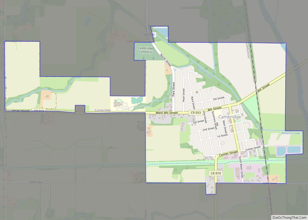
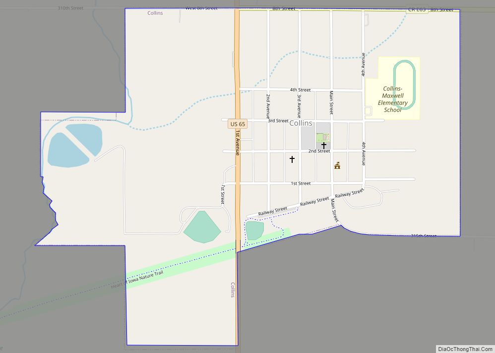
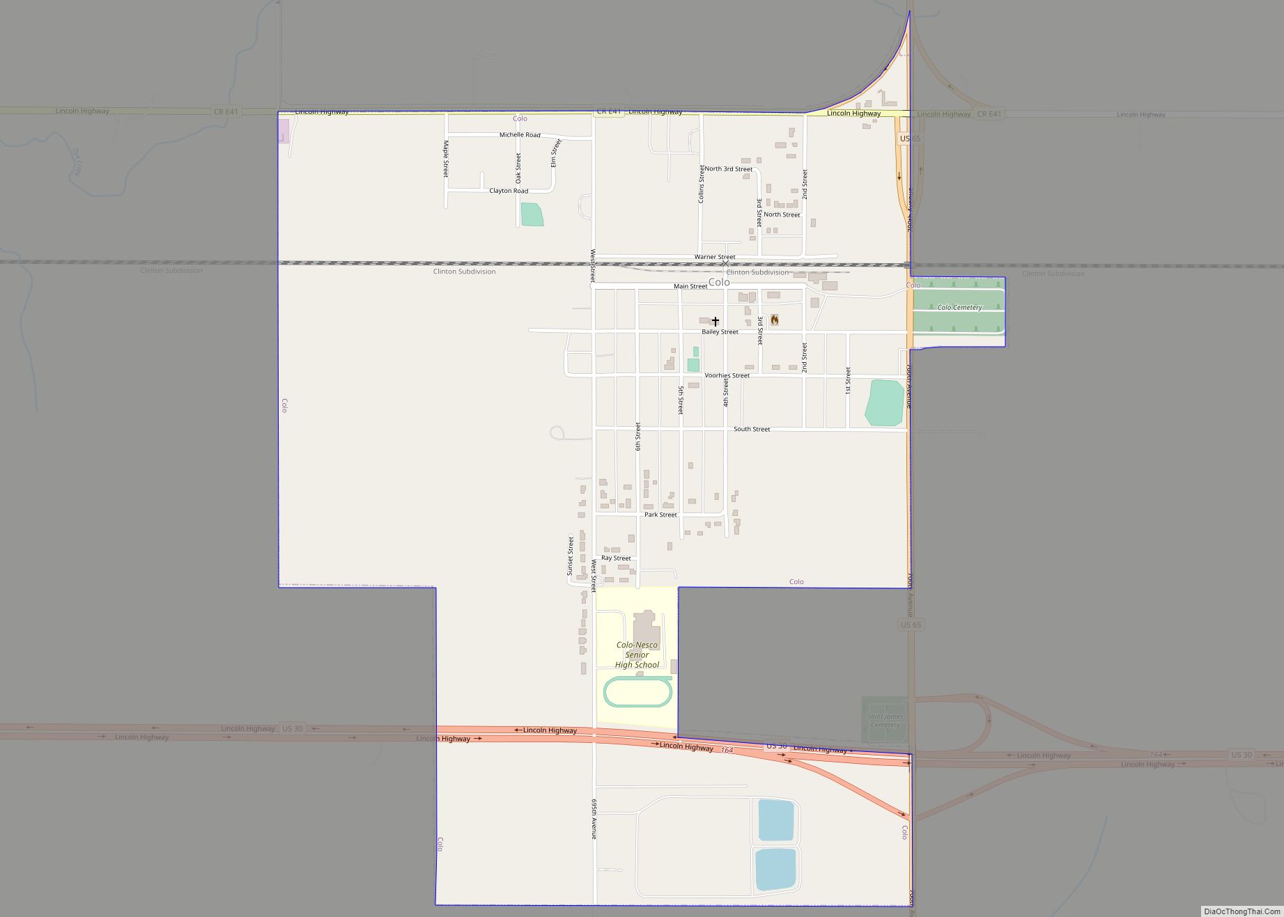
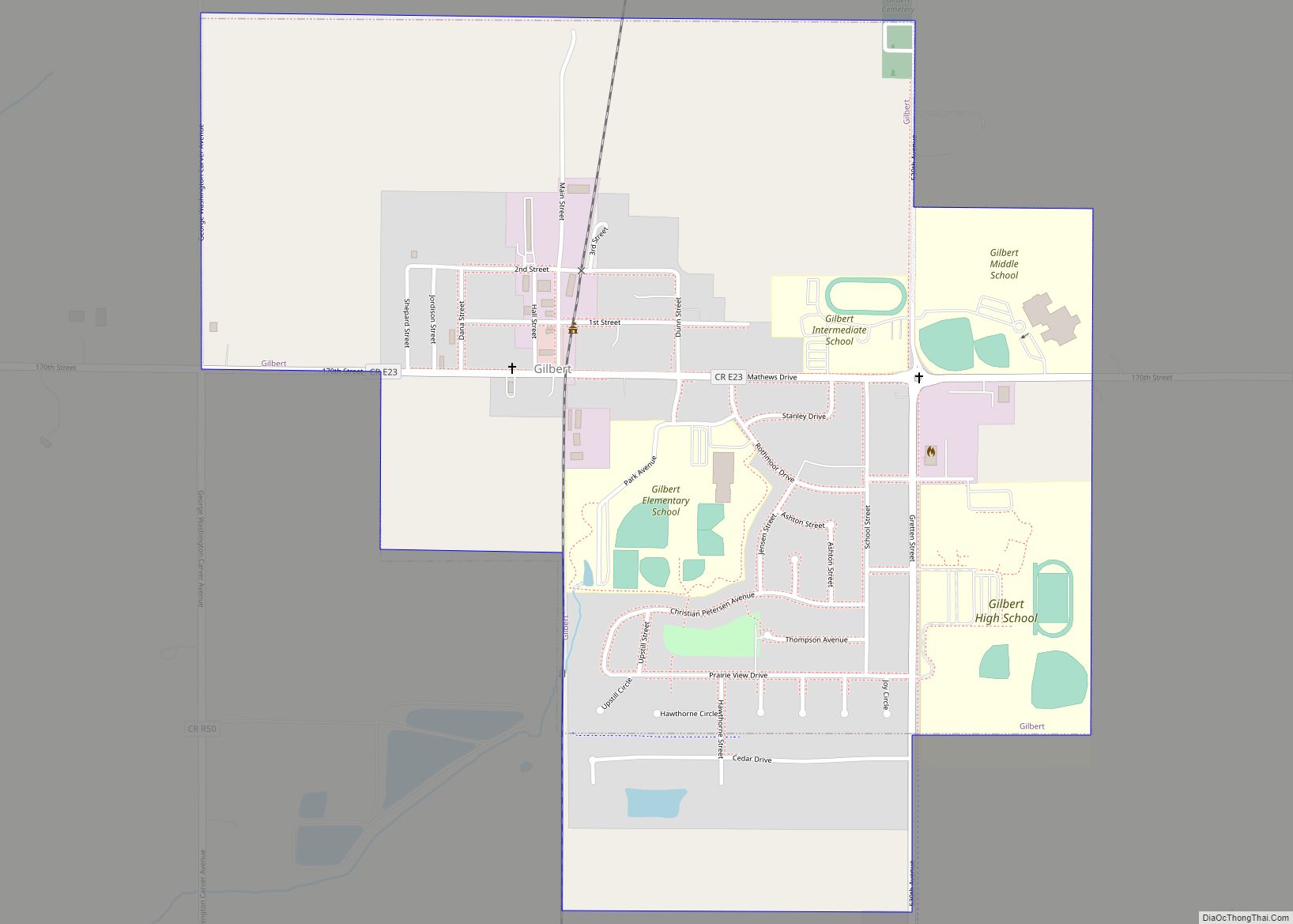
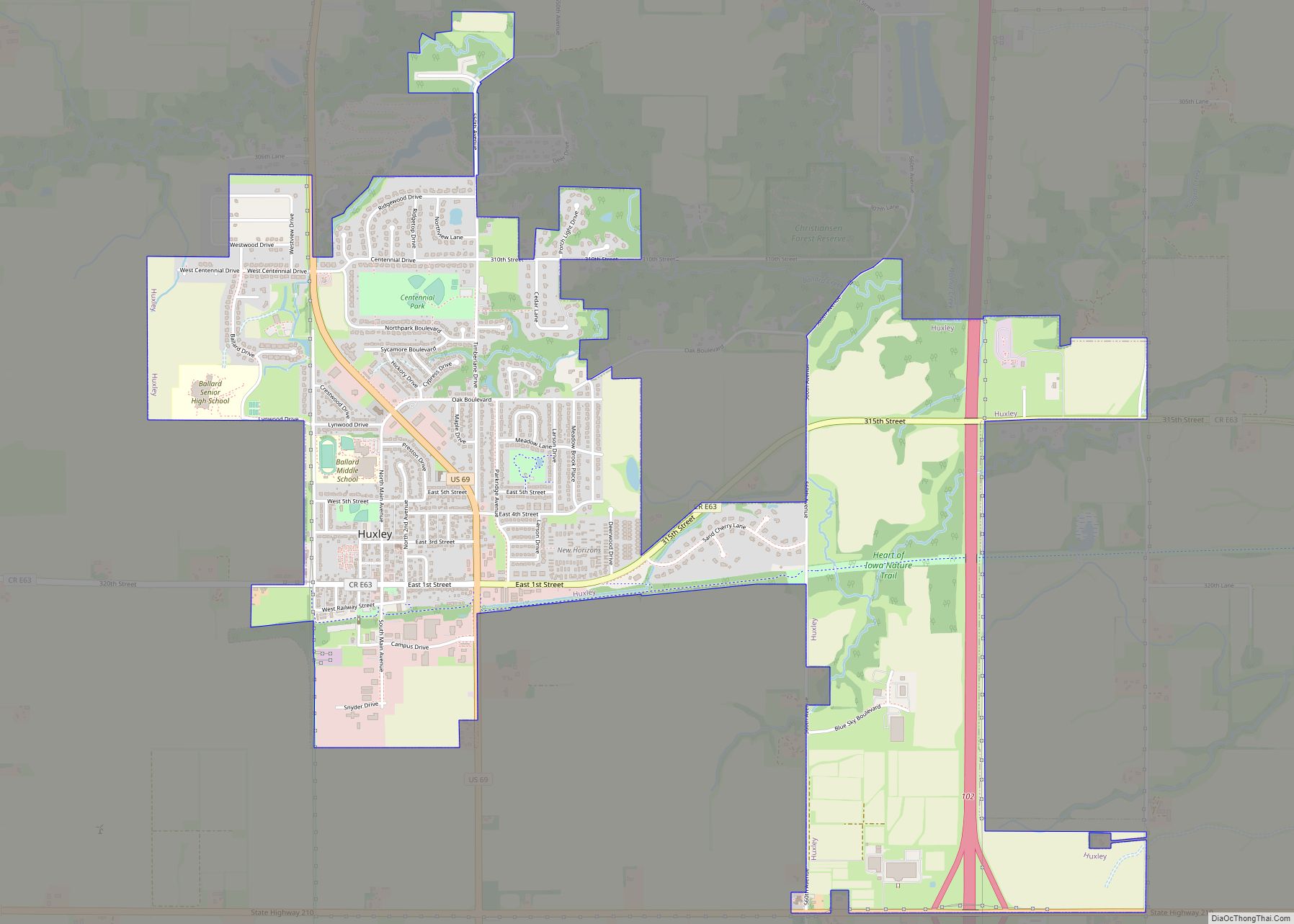
Story County consists of 16 townships and 15 incorporated cities, and 4 unincorporated towns. The population of 79,981 in the 2000 census consisted of 71,114 in urban areas and 8867 in rural areas.
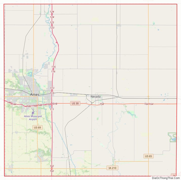
Story County Road Map
Geography
According to the U.S. Census Bureau, the county has a total area of 574 square miles (1,490 km), of which 573 square miles (1,480 km) is land and 0.8 square miles (2.1 km) (0.1%) is water.
The geographical center of Iowa lies in Story County, 5 miles (8.0 km) northeast of Ames.
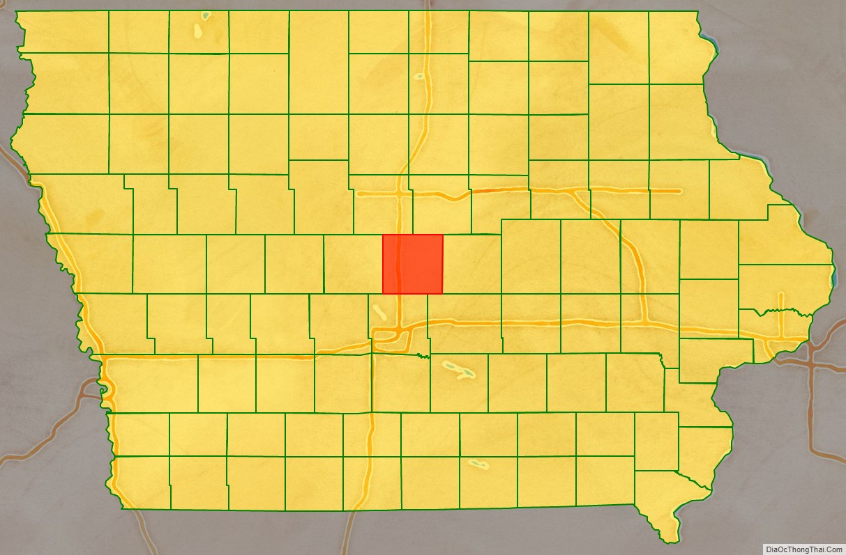
Adjacent counties
- Hamilton County (northwest)
- Hardin County (northeast)
- Marshall County (east)
- Jasper County (southeast)
- Polk County (south)
- Boone County (west)
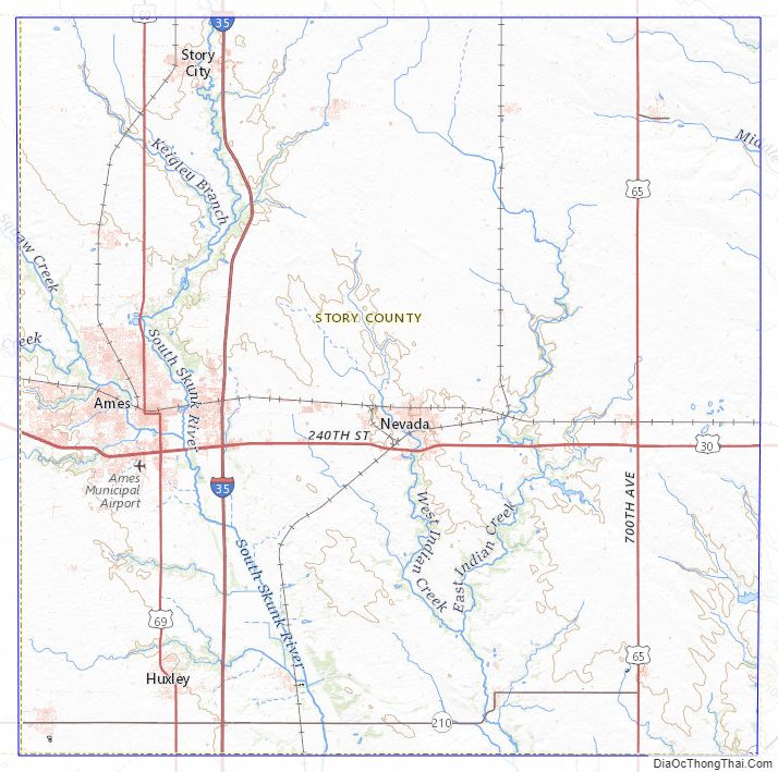
Story County Topographic Map
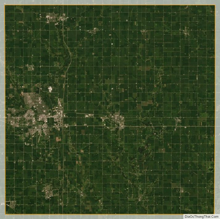
Story County Satellite Map
Story County Outline Map