Nevada (/nəˈveɪdə/ nə-VAY-də) is a city in, and the county seat of, Story County, Iowa, United States. The population was 6,925 in the 2020 census, an increase from 6,658 in 2000. Nevada is part of the Ames, Iowa Metropolitan Statistical Area, which is a part of the larger Ames-Boone, Iowa Combined Statistical Area. Nevada is the second-most populous city in Story County. The city’s name is pronounced differently from the U.S. state of Nevada.
| Name: | Nevada city |
|---|---|
| LSAD Code: | 25 |
| LSAD Description: | city (suffix) |
| State: | Iowa |
| County: | Story County |
| Elevation: | 1,001 ft (305 m) |
| Total Area: | 5.78 sq mi (14.97 km²) |
| Land Area: | 5.77 sq mi (14.94 km²) |
| Water Area: | 0.01 sq mi (0.03 km²) |
| Total Population: | 6,925 |
| Population Density: | 1,200.17/sq mi (463.41/km²) |
| ZIP code: | 50201 |
| Area code: | 515 |
| FIPS code: | 1955695 |
| GNISfeature ID: | 0459461 |
| Website: | cityofnevadaiowa.org |
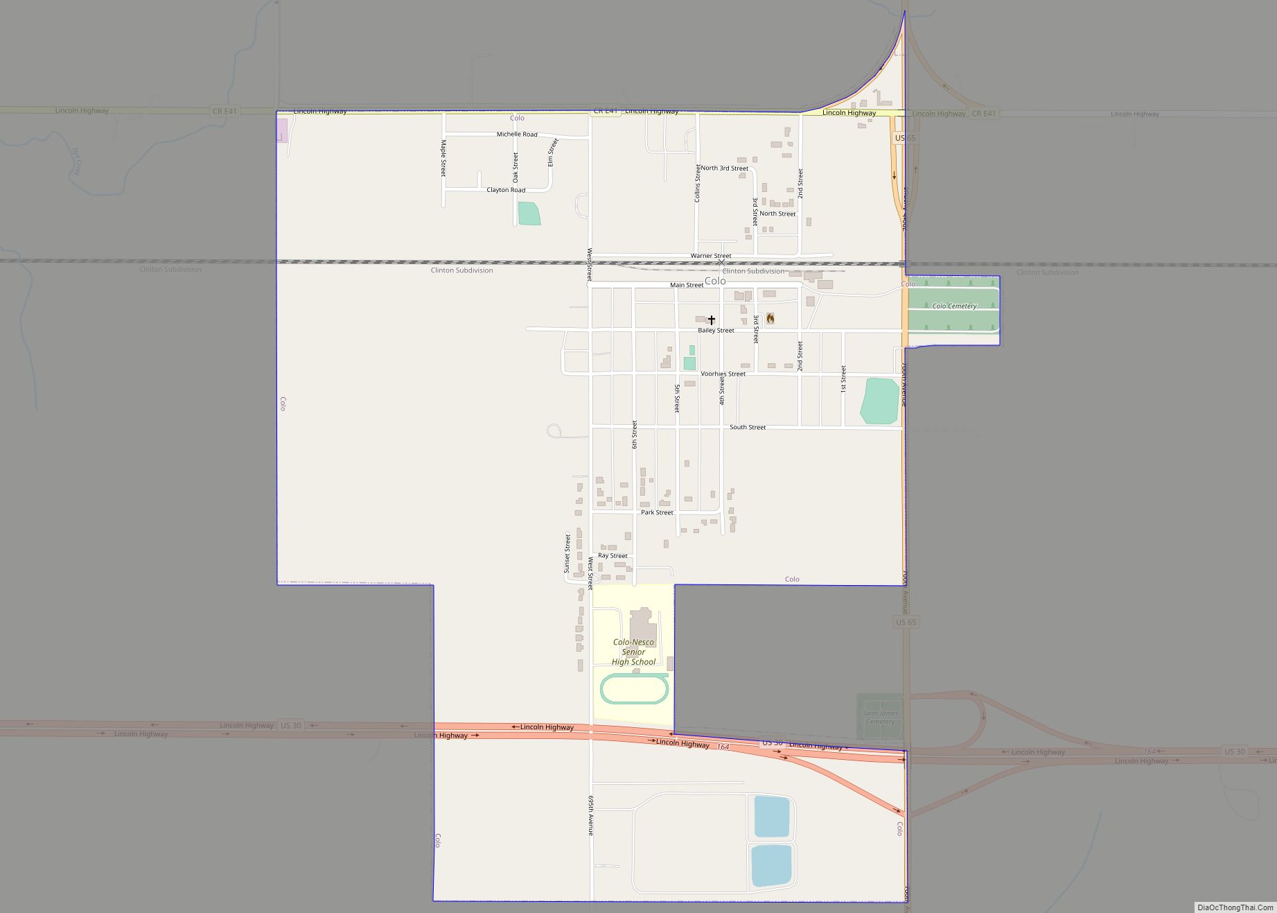
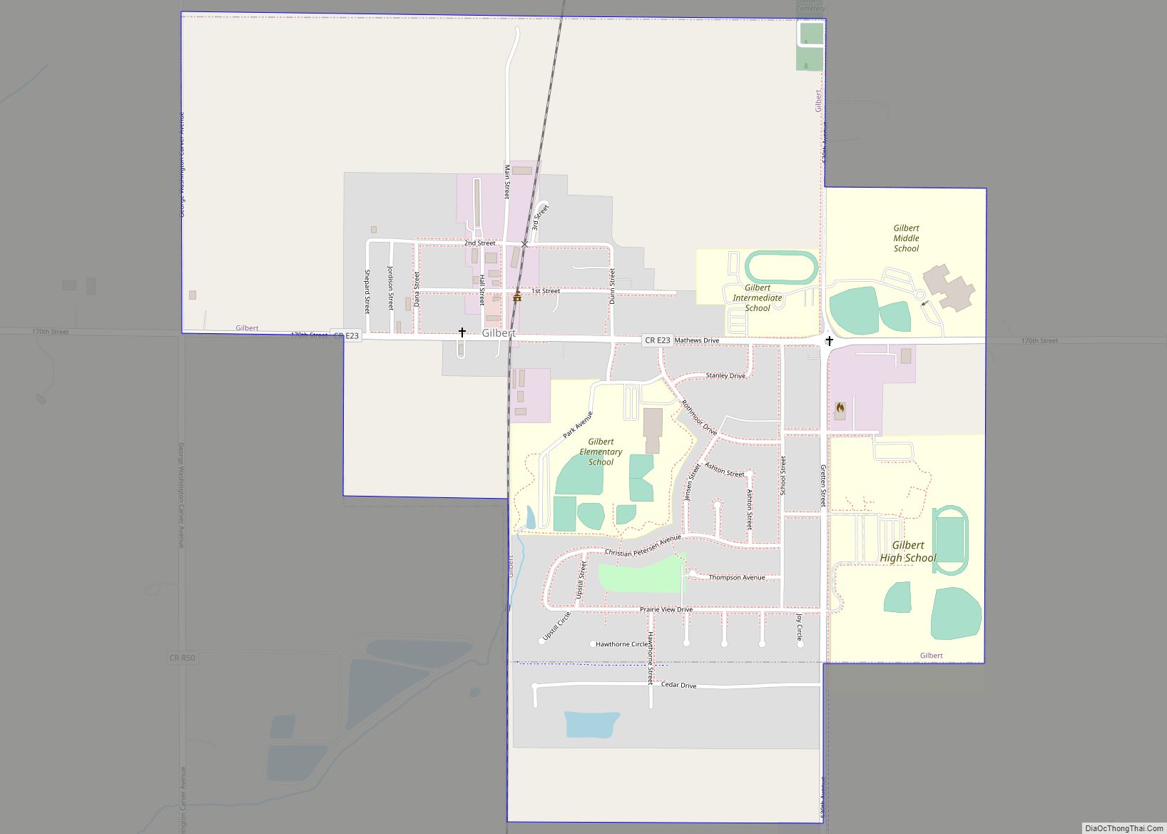
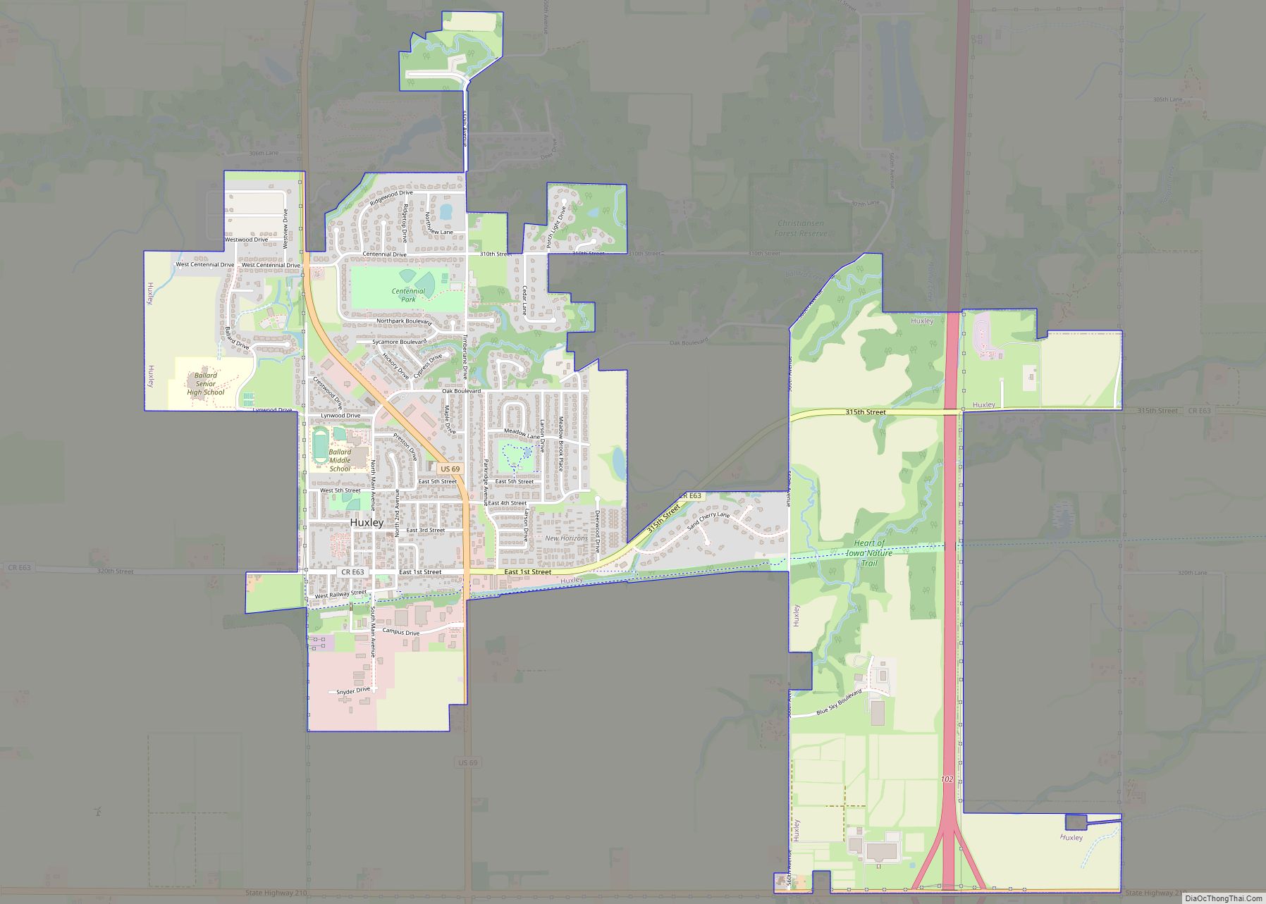
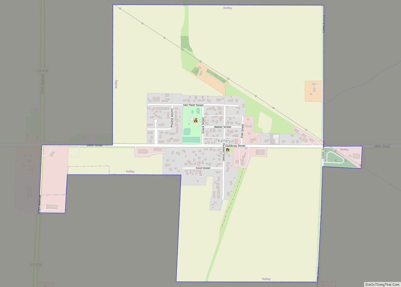
Online Interactive Map
Click on ![]() to view map in "full screen" mode.
to view map in "full screen" mode.
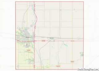
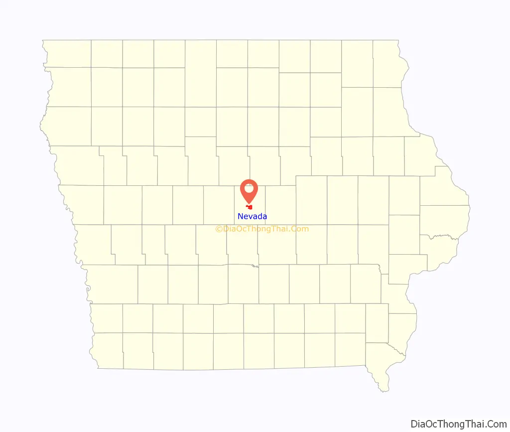
Nevada location map. Where is Nevada city?

History
Nevada was platted in 1853. It was named after the Sierra Nevada mountains. On October 11, 1853 the T. E. Alderman family moved into the first structure in Nevada. This Structure served as Pioneer Store, Post office, and Court Room. A post office has been in operation in Nevada since 1854.
Historic properties in Nevada include Briggs Terrace Evergreen Lane Property, completed in 1879, and the Nevada Downtown Historic District, listed on the National Register of Historic Places in 2003. In 2019, the district became the 54th Main Street Iowa community, part of the larger Main Street Programs in the United States.
Nevada Road Map
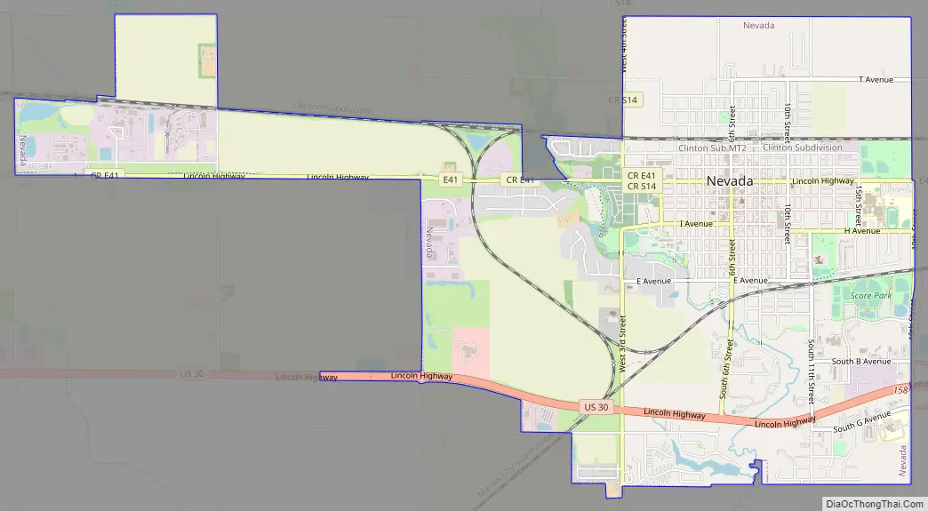
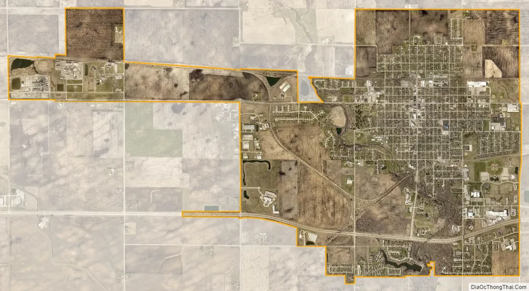
Nevada city Satellite Map
Geography
Nevada’s longitude and latitude coordinates in decimal form are 42.019152, -93.451775.
According to the United States Census Bureau, the city has a total area of 5.08 square miles (13.16 km), of which 5.06 square miles (13.11 km) is land and 0.02 square miles (0.05 km) is water.
See also
Map of Iowa State and its subdivision:- Adair
- Adams
- Allamakee
- Appanoose
- Audubon
- Benton
- Black Hawk
- Boone
- Bremer
- Buchanan
- Buena Vista
- Butler
- Calhoun
- Carroll
- Cass
- Cedar
- Cerro Gordo
- Cherokee
- Chickasaw
- Clarke
- Clay
- Clayton
- Clinton
- Crawford
- Dallas
- Davis
- Decatur
- Delaware
- Des Moines
- Dickinson
- Dubuque
- Emmet
- Fayette
- Floyd
- Franklin
- Fremont
- Greene
- Grundy
- Guthrie
- Hamilton
- Hancock
- Hardin
- Harrison
- Henry
- Howard
- Humboldt
- Ida
- Iowa
- Jackson
- Jasper
- Jefferson
- Johnson
- Jones
- Keokuk
- Kossuth
- Lee
- Linn
- Louisa
- Lucas
- Lyon
- Madison
- Mahaska
- Marion
- Marshall
- Mills
- Mitchell
- Monona
- Monroe
- Montgomery
- Muscatine
- O'Brien
- Osceola
- Page
- Palo Alto
- Plymouth
- Pocahontas
- Polk
- Pottawattamie
- Poweshiek
- Ringgold
- Sac
- Scott
- Shelby
- Sioux
- Story
- Tama
- Taylor
- Union
- Van Buren
- Wapello
- Warren
- Washington
- Wayne
- Webster
- Winnebago
- Winneshiek
- Woodbury
- Worth
- Wright
- Alabama
- Alaska
- Arizona
- Arkansas
- California
- Colorado
- Connecticut
- Delaware
- District of Columbia
- Florida
- Georgia
- Hawaii
- Idaho
- Illinois
- Indiana
- Iowa
- Kansas
- Kentucky
- Louisiana
- Maine
- Maryland
- Massachusetts
- Michigan
- Minnesota
- Mississippi
- Missouri
- Montana
- Nebraska
- Nevada
- New Hampshire
- New Jersey
- New Mexico
- New York
- North Carolina
- North Dakota
- Ohio
- Oklahoma
- Oregon
- Pennsylvania
- Rhode Island
- South Carolina
- South Dakota
- Tennessee
- Texas
- Utah
- Vermont
- Virginia
- Washington
- West Virginia
- Wisconsin
- Wyoming