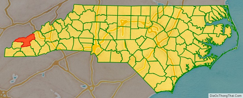
Swain County is a county located on the far western border of the U.S. state of North Carolina. As of the 2020 census, the population was 14,117. Its county seat is Bryson City.
Four rivers flow through the mountainous terrain of Swain County: the Nantahala, Oconaluftee, Tuckaseegee and the Little Tennessee. Their valleys were occupied for thousands of years by various societies of indigenous peoples, including the South Appalachian Mississippian culture era, and the historic Cherokee people. Today Native Americans, mostly members of the federally recognized Eastern Band of Cherokee Indians, comprise 29% of the population in Swain County.
| Name: | Swain County |
|---|---|
| FIPS code: | 37-173 |
| State: | North Carolina |
| Founded: | 1871 |
| Named for: | David L. Swain |
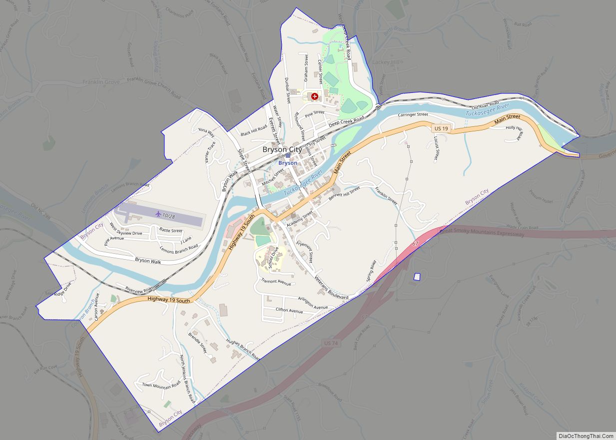
| Seat: | Bryson City |
| Total Area: | 541 sq mi (1,400 km²) |
| Land Area: | 528 sq mi (1,370 km²) |
| Total Population: | 14,136 |
| Population Density: | 26.8/sq mi (10.3/km²) |
| Time zone: | UTC−5 (Eastern) |
| Summer Time Zone (DST): | UTC−4 (EDT) |
| Website: | www.swaincountync.gov |
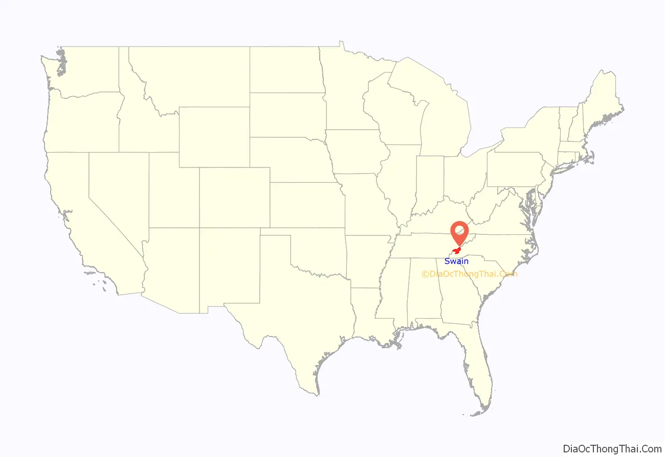
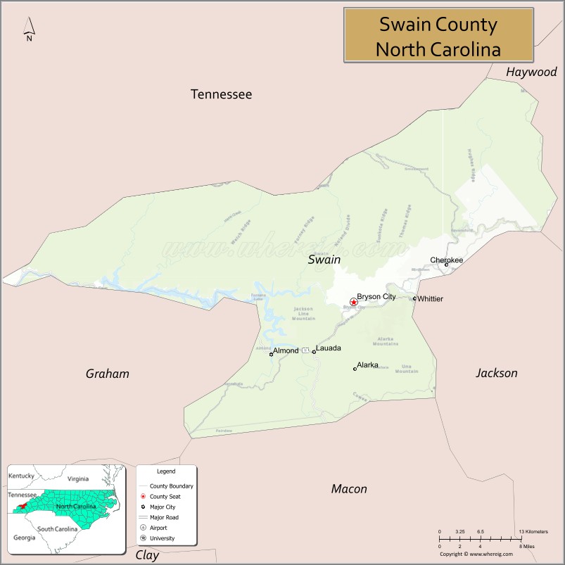
Swain County location map. Where is Swain County?
History
This area was occupied for thousands of years by cultures of indigenous peoples, who successively settled in the valleys of the three rivers and their tributaries. During the Woodland and South Appalachian Mississippian culture period, the latter beginning about 1000 CE, the peoples built earthwork platform mounds as their central public architecture. The more influential villages were each organized around a single mound with smaller villages nearby. The earliest European explorers, including two Spanish expeditions of the mid-to-late 16th century, are believed to have encountered Mississippian chiefdoms in some parts of the interior of the Southeast.
The historic Cherokee people emerged as a culture, and they became the primary occupants of a large homeland taking in what is now known as western Virginia, western North and South Carolina, southeastern Tennessee, northeast Georgia and northern Alabama. Numerous Cherokee towns were located along the Tuckaseegee River in this area, including Kituwa above the confluence with the Little Tennessee River. It is considered the Cherokee ‘mother town’. The Eastern Band of Cherokee Indians (EBCI) acquired the Kituwa mound and former town site in 1996, and preserve it as sacred ground.
After the American Revolutionary War, more European Americans moved into this territory, seeking new lands west of the Appalachian Mountains. They came into increasing conflict with the Cherokee and other tribes whose territory they encroached on. Under President Andrew Jackson, Congress passed the Indian Removal Act of 1830, to force the Five Civilized Tribes out of the Southeast. He used federal army forces to round up and accompany most of the Cherokee to Indian Territory west of the Mississippi River (the area was later admitted in 1907 as the state of Oklahoma).
Population growth was slow in the more isolated Swain County. It was not organized by European Americans until 1871 during the Reconstruction era, when it was formed from parts of Jackson and Macon counties. It was named for David L. Swain, governor of North Carolina from 1832 to 1835 during the time of Indian Removal, and president of the University of North Carolina from 1835 to 1868.
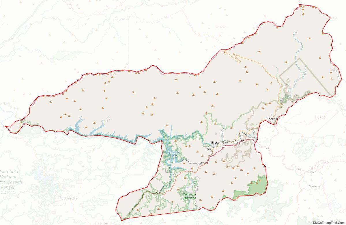
Present-day Bryson City, designated as the county seat, developed on both sides of the Tuckaseegee River, which passes and completely surrounds the Bryson City Island Park. After that, it enters Fontana Lake and flows into the Little Tennessee River.
In 1868 the federal government recognized the Eastern Band of Cherokee Indians, made up of people who had stayed at the time of removal and their descendants. In the 1870s, they purchased within what is now Swain County the land area that became known the “Qualla Boundary” land trust. They are the only federally recognized tribe in North Carolina.
Swain County Road Map
Geography
According to the U.S. Census Bureau, Swain county has a total area of 541 square miles (1,400 km), of which 528 square miles (1,370 km) is land and 13 square miles (34 km) (2.3%) is water.
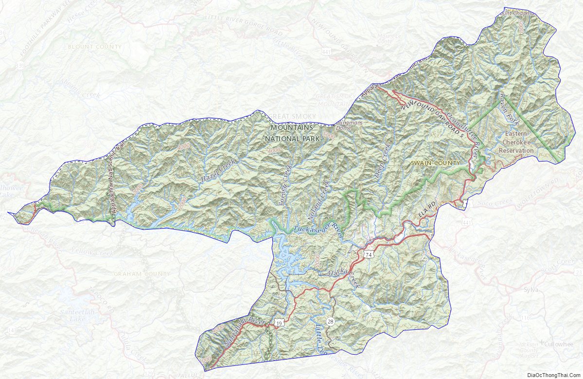
The county is located in far Western North Carolina in the Great Smoky Mountains. It holds more of the Great Smoky Mountains National Park than any other county in North Carolina or Tennessee. The highest point in the county is Clingmans Dome, elevation 6,643 feet, located on the NC/TN border. Clingman’s is the third-highest peak in North Carolina. A walkable observation tower is located on its summit. The highest mountain in North Carolina and in the United States east of the Mississippi River is Mt. Mitchell, 6,684 feet, located northeast of Asheville, North Carolina in Yancey County.
Three rivers ultimately feed the Little Tennessee River, which flows through the mountains into Tennessee. The Nantahala River is one of the most popular whitewater rafting rivers in the nation. It is a tributary of the Little Tennessee River.
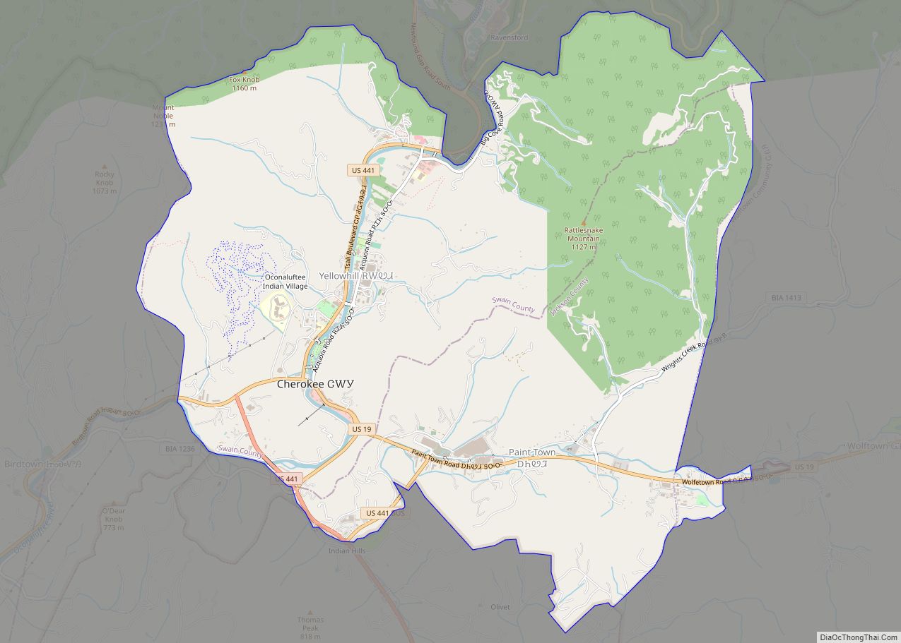
Indian reservation
The Oconaluftee River flows through Swain County and the town of Cherokee, where the federally recognized Eastern Band of Cherokee Indians is based. Their Qualla Boundary occupies territory in both Swain and Jackson counties. The Oconaluftee is a tributary of the Tuckaseegee River. Ancient Cherokee towns were located along both of these rivers. The Tuckaseegee flows into the Little Tennessee River before it leaves North Carolina. It also had important Cherokee towns, each developed around an earthwork mound. The Cherokee built their communal townhouse of top of these mounds.
National protected areas
- Blue Ridge Parkway (part)
- Cherokee Indian Reservation, Eastern Band of Cherokees (part)
- Great Smoky Mountains National Park (part)
- Nantahala National Forest (part)
State and local protected sites
- Clingmans Dome
- Shuckstack Fire Tower
Major water bodies
- Brush Creek
- Bunches Creek
- Cullasaja River
- Deep Creek
- Fingerlake
- Fontana Lake
- Forney Creek
- Licklog Creek
- Little Tennessee River
- Nantahala River
- Noland Creek
- Oconaluftee River
- Pigeon Creek
- Tuckasegee River
- Wesser Creek
Adjacent counties
- Sevier County, Tennessee – north
- Haywood County – east
- Jackson County – southeast
- Macon County – south
- Graham County – southwest
- Blount County, Tennessee – northwest
Major highways
- US 19
- US 19 Conn.
- US 19 Truck
- US 74
- US 129
- US 441
- US 441 Bus.
- NC 28
Major infrastructure
- Bryson City Depot
- Great Smoky Mountains Railroad, freight and heritage railroad company based in Bryson City
- Sossamon Field (57NC)
- Swain Public Transit, providing requested transportation services in county
Swain County Topographic Map
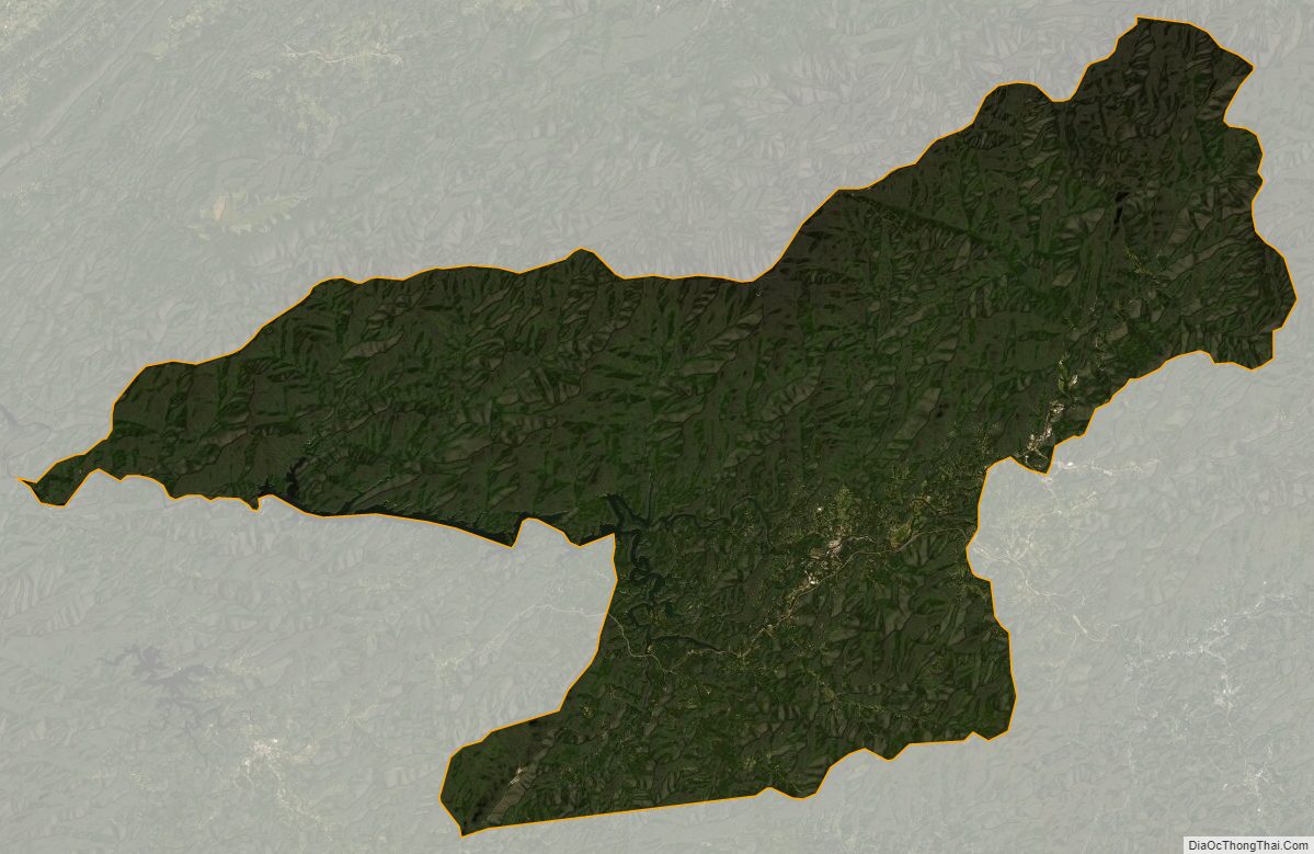
Swain County Satellite Map
Swain County Outline Map