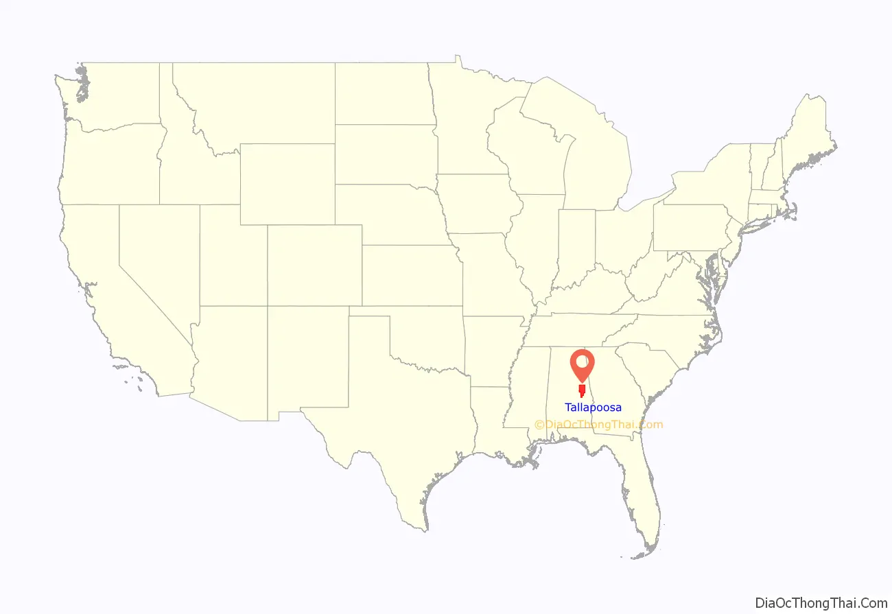
Tallapoosa County is located in the east-central portion of the U.S. state of Alabama. As of the 2020 census, the population was 41,311. Its county seat is Dadeville. Its largest city is Alexander City.
| Name: | Tallapoosa County |
|---|---|
| FIPS code: | 01-123 |
| State: | Alabama |
| Founded: | December 18, 1832 |
| Named for: | Tallapoosa River |
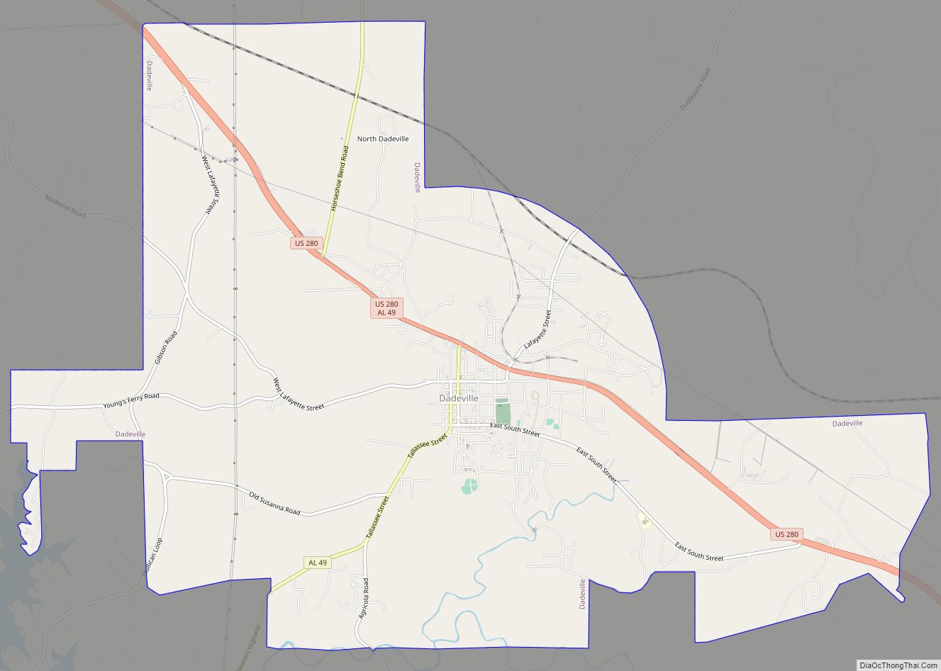
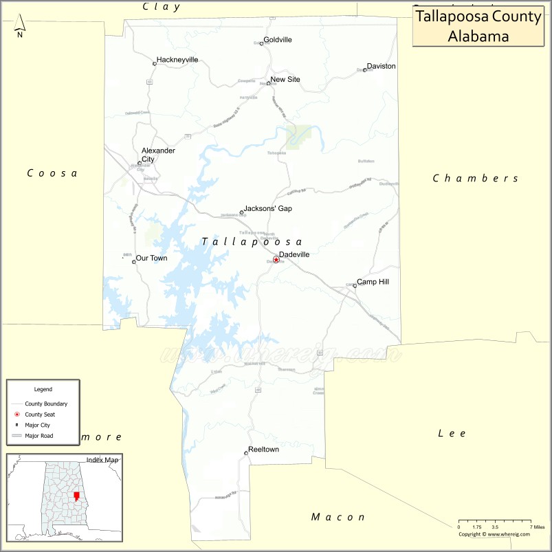
| Seat: | Dadeville |
| Largest city: | Alexander City |
| Total Area: | 766 sq mi (1,980 km²) |
| Land Area: | 717 sq mi (1,860 km²) |
| Total Population: | 41,311 |
| Population Density: | 54/sq mi (21/km²) |
| Time zone: | UTC−6 (Central) |
| Summer Time Zone (DST): | UTC−5 (CDT) |
| Website: | www.tallaco.com |
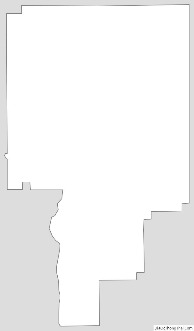
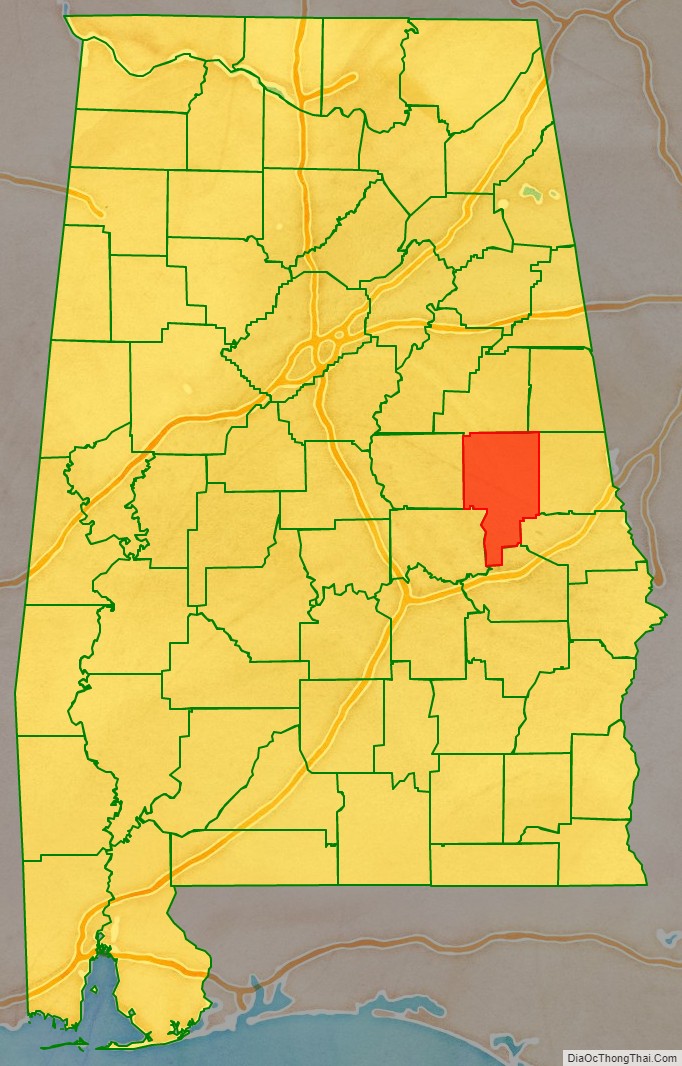
Tallapoosa County location map. Where is Tallapoosa County?
History
Tallapoosa County was established on December 18, 1832. A southwest strip of the county was detached to become a portion of Elmore County when it was established on February 15, 1866.
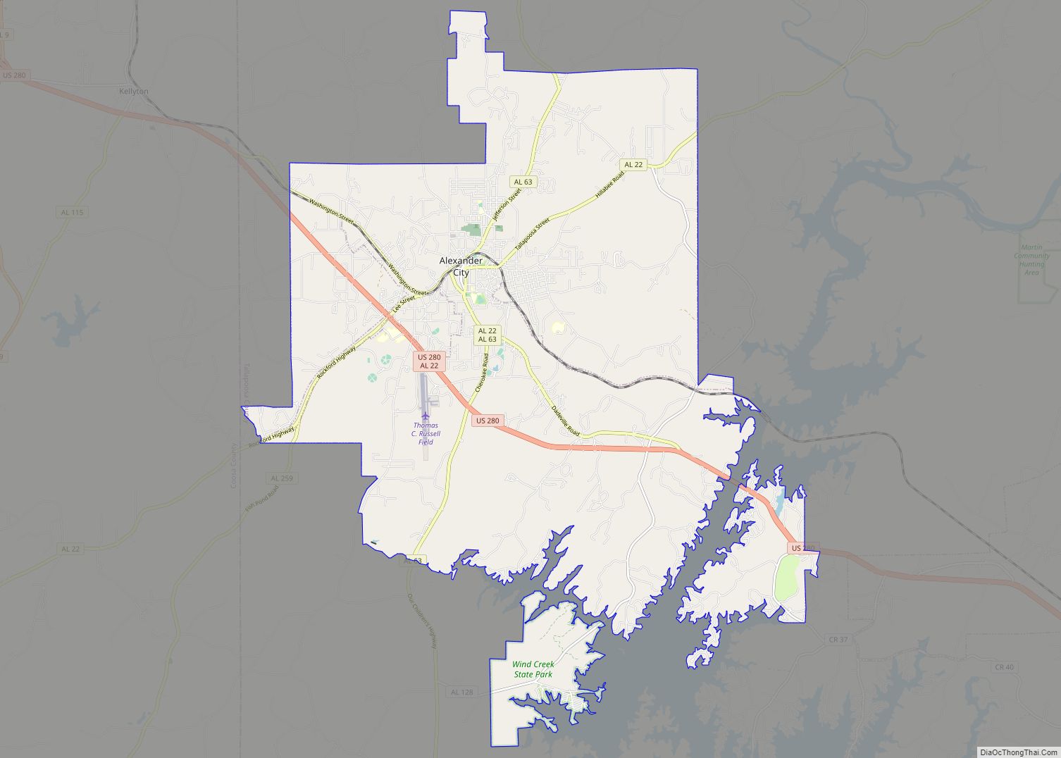
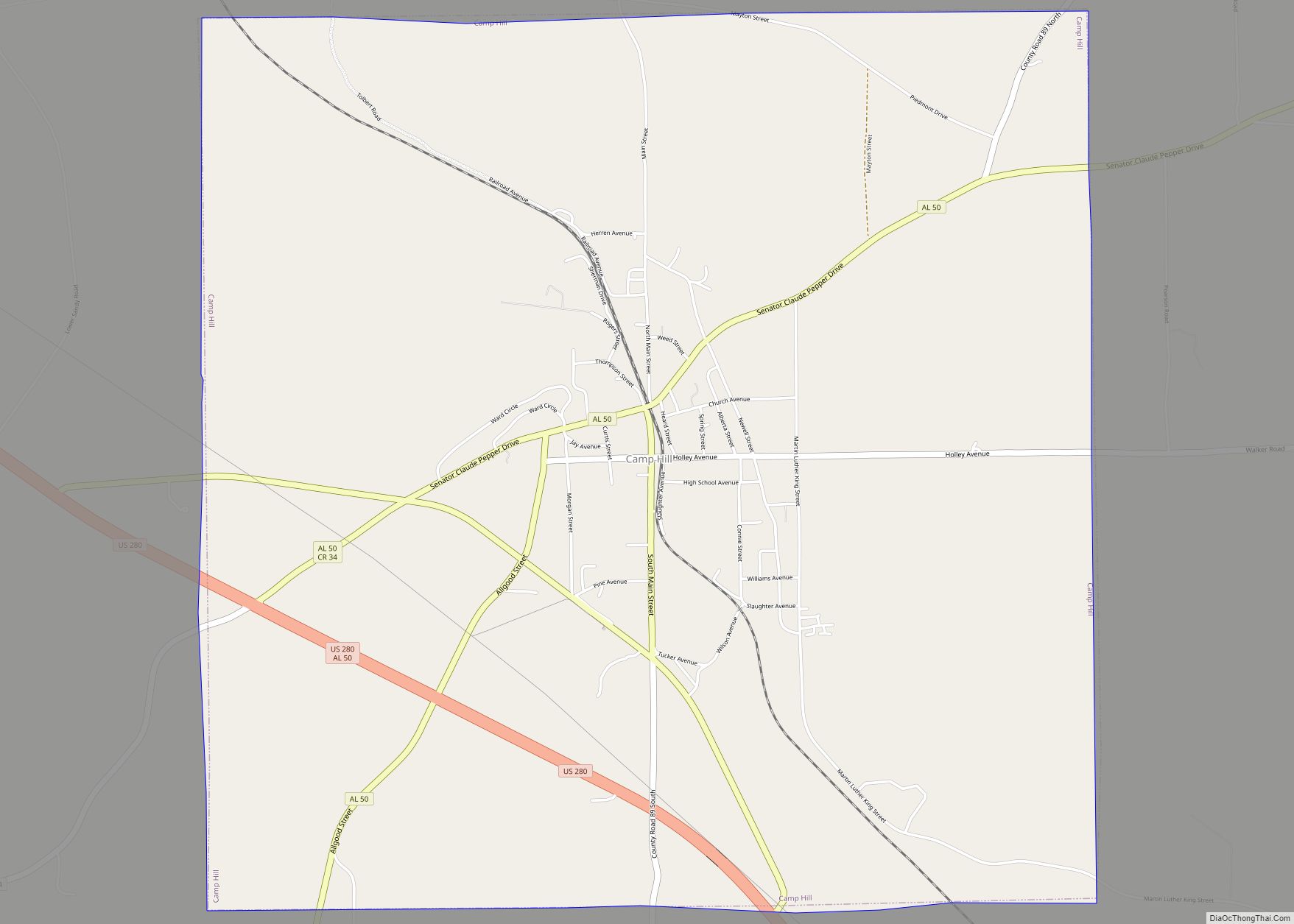
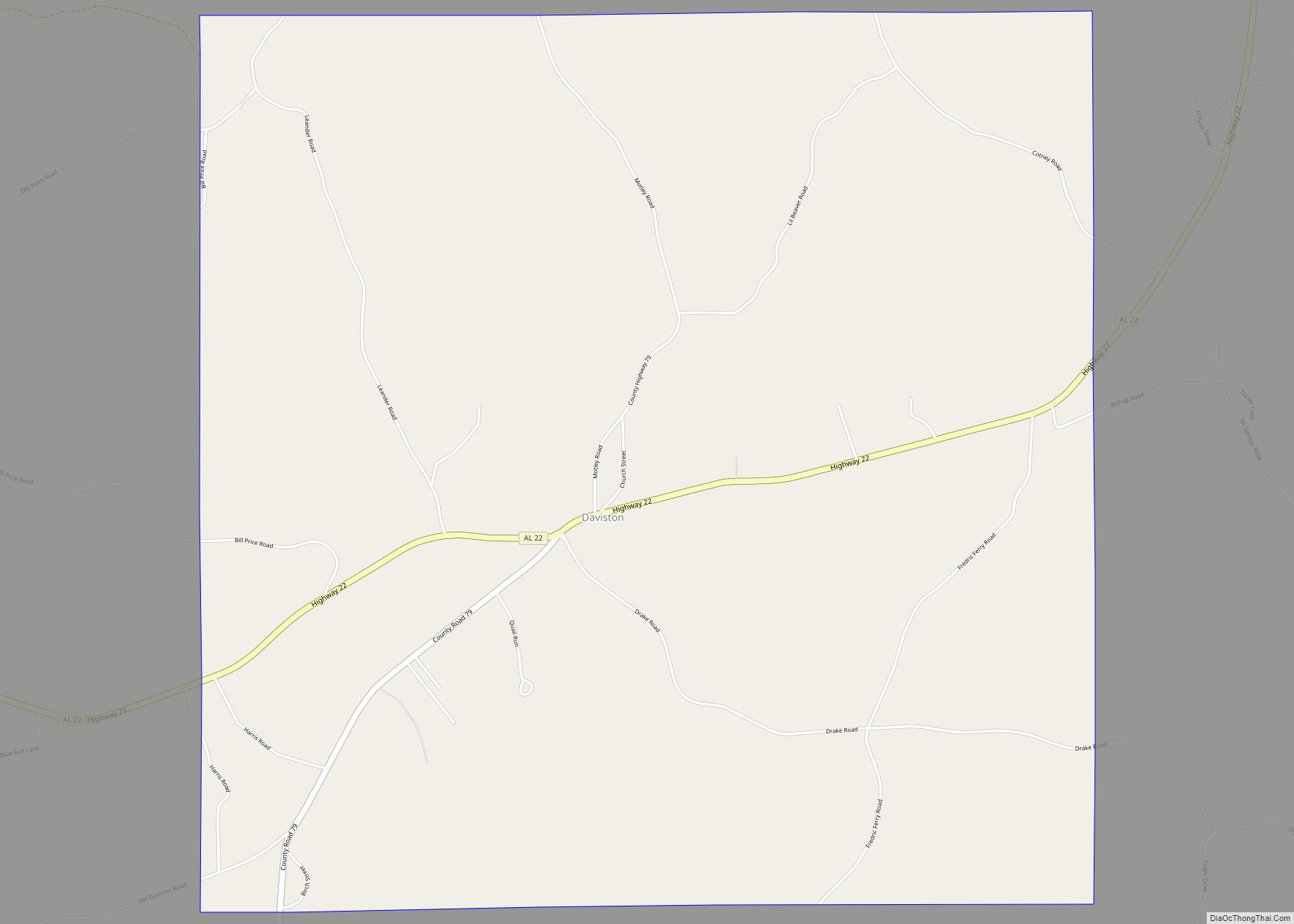
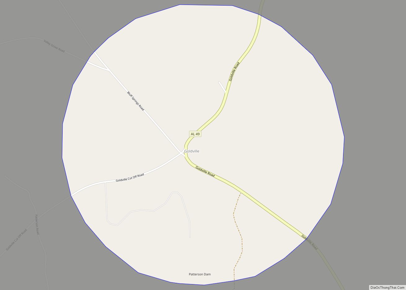
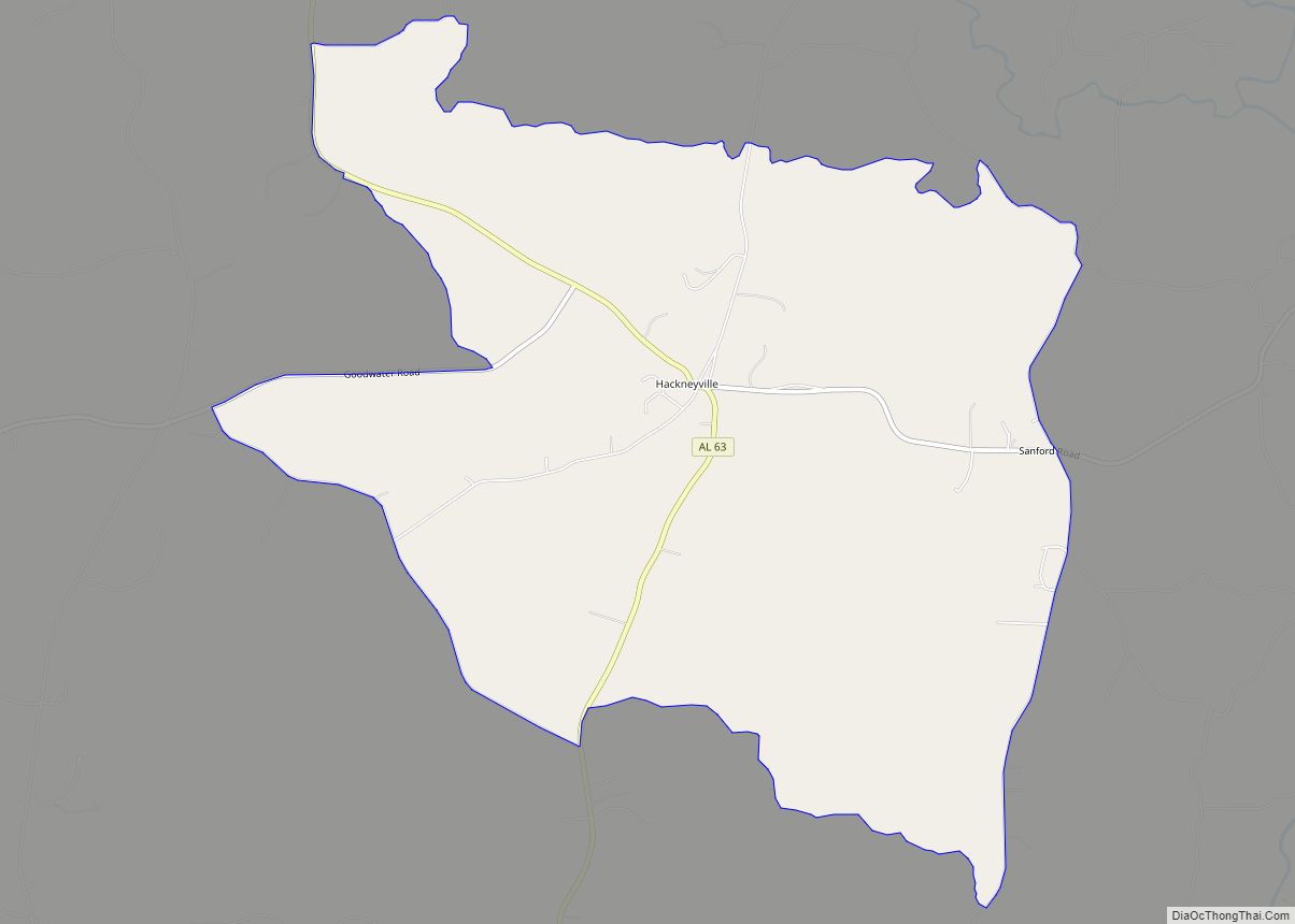
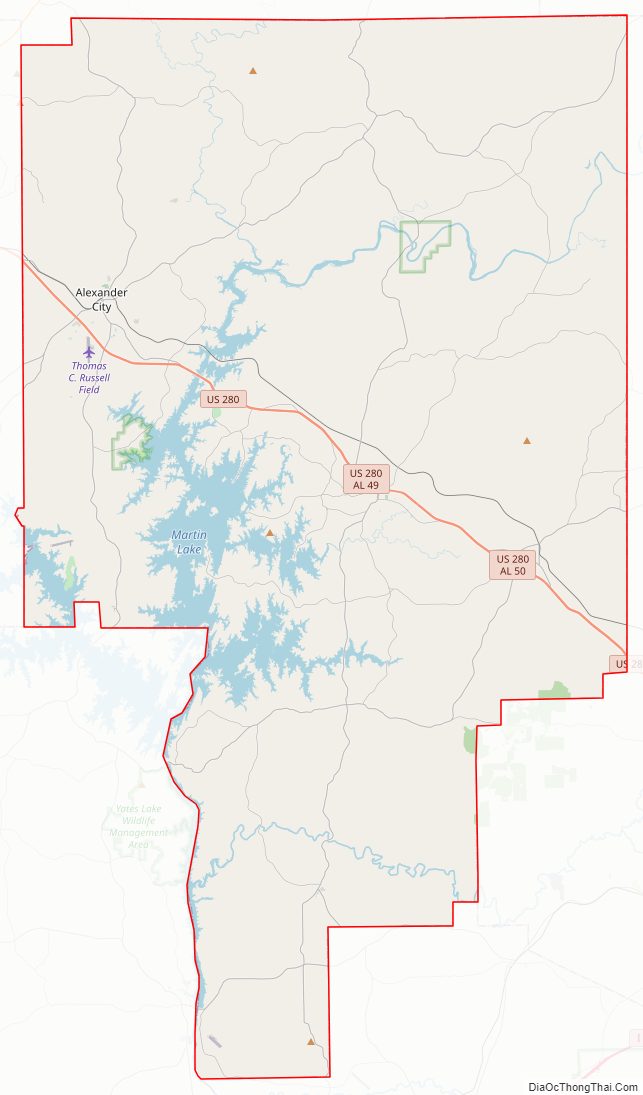
Tallapoosa County Road Map
Geography
According to the U.S. Census Bureau, the county has a total area of 766 square miles (1,980 km), of which 717 square miles (1,860 km) is land and 50 square miles (130 km) (6.5%) is water. The county is located in the Piedmont region of the state.
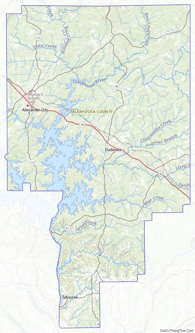
The county is intersected by the Tallapoosa River.
Major highways
- U.S. Highway 280
- State Route 14
- State Route 22
- State Route 49
- State Route 50
- State Route 63
- State Route 120
- State Route 128
- State Route 259
Adjacent counties
- Clay County (north)
- Randolph County (northeast)
- Chambers County (east)
- Lee County (southeast)
- Macon County (south)
- Elmore County (southwest)
- Coosa County (west)
National protected area
- Horseshoe Bend National Military Park
Tallapoosa County Topographic Map
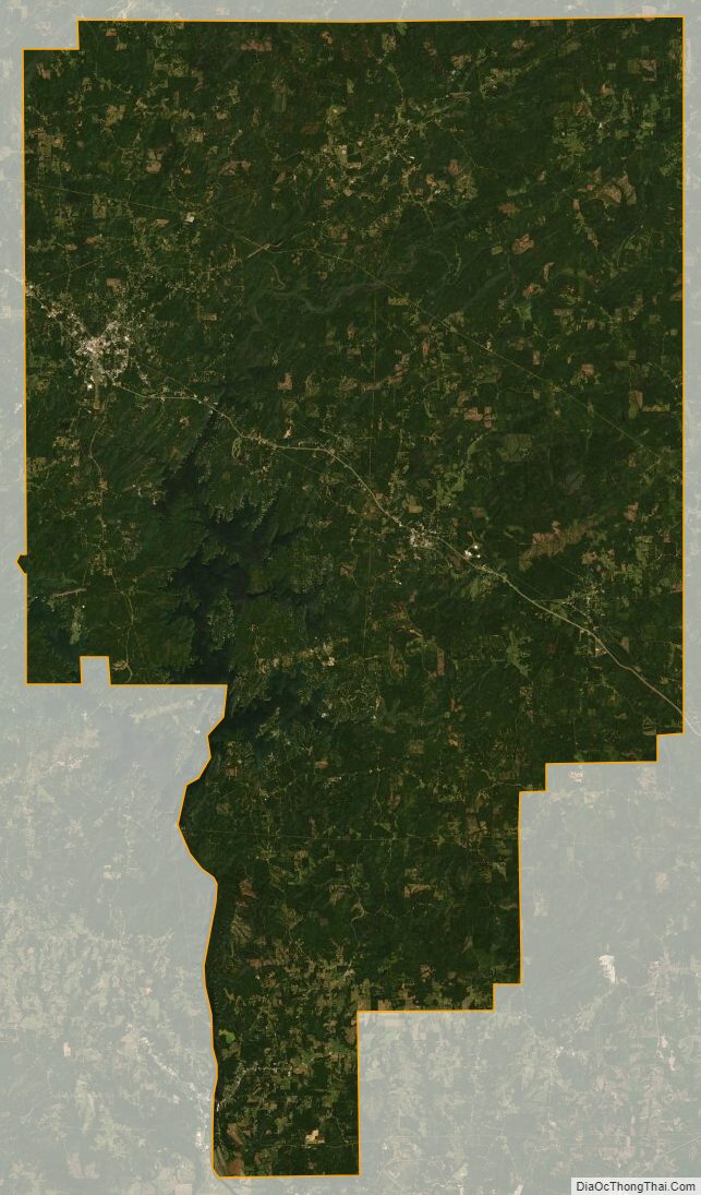
Tallapoosa County Satellite Map
Tallapoosa County Outline Map