Dadeville is a city in and the county seat of Tallapoosa County, Alabama, United States. At the 2010 census the population was 3,230, up from 3,212 in 2000.
| Name: | Dadeville city |
|---|---|
| LSAD Code: | 25 |
| LSAD Description: | city (suffix) |
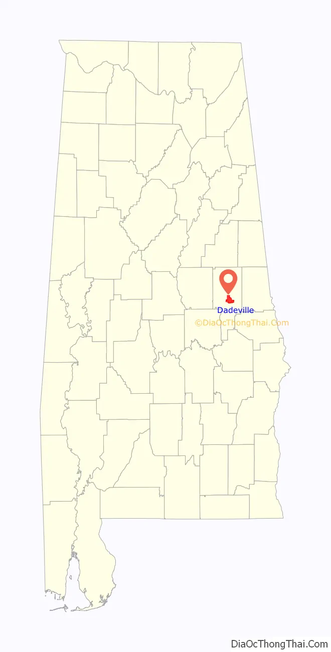
| State: | Alabama |
| County: | Tallapoosa County |
| Elevation: | 728 ft (222 m) |
| Total Area: | 16.03 sq mi (41.51 km²) |
| Land Area: | 15.94 sq mi (41.29 km²) |
| Water Area: | 0.09 sq mi (0.22 km²) |
| Total Population: | 3,084 |
| Population Density: | 193.46/sq mi (74.70/km²) |
| ZIP code: | 36853 |
| Area code: | 256 |
| FIPS code: | 0119336 |
| GNISfeature ID: | 0117010 |
| Website: | www.cityofdadevilleal.org |
Online Interactive Map
Click on ![]() to view map in "full screen" mode.
to view map in "full screen" mode.
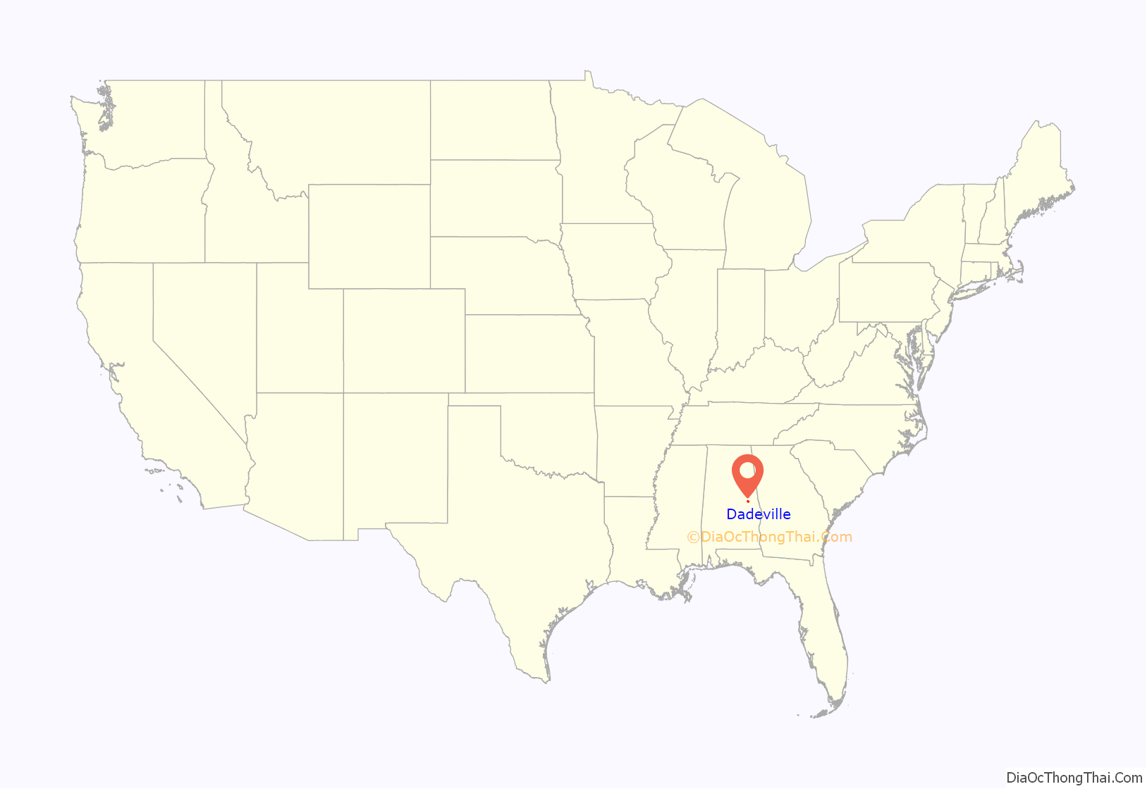
Dadeville location map. Where is Dadeville city?
History
Prior to its incorporation, Dadeville was an Indian trading post and a center of commerce where commodities such as cotton, lumber, tin, asbestos, and livestock were traded. The town was surveyed by John H. Broadnax in 1836, granted a charter in 1837, and first incorporated in 1858. Dadeville was named for Major Francis Langhorne Dade, who was killed in 1835 by Seminole Indians in a battle of the Second Seminole War that came to be known as the “Dade Massacre”. Dade had never actually visited Tallapoosa County.
As a stagecoach stop on the Tennessee Road between Montgomery and Georgia, Dadeville was host to a stream of traders whose goods and livestock often crowded the square of the courthouse. Dadeville lost its charter during the Civil War, and was incorporated a second time in 1878. Dadeville has been the Tallapoosa County seat since 1838.
Dadeville was home to the Graefenberg Medical Institute, Alabama’s first medical school, which operated from 1852 until the outbreak of the Civil War. Attempts to revive the school after the war failed, and the building burned in 1873.
The completion of the Martin Dam on the Tallapoosa River in 1926 and the subsequent creation of Lake Martin had and continues to have a strong economic impact on Dadeville.
On April 15, 2023, four people were killed and 32 others were injured in a mass shooting at a party. Most of the victims were teenagers.
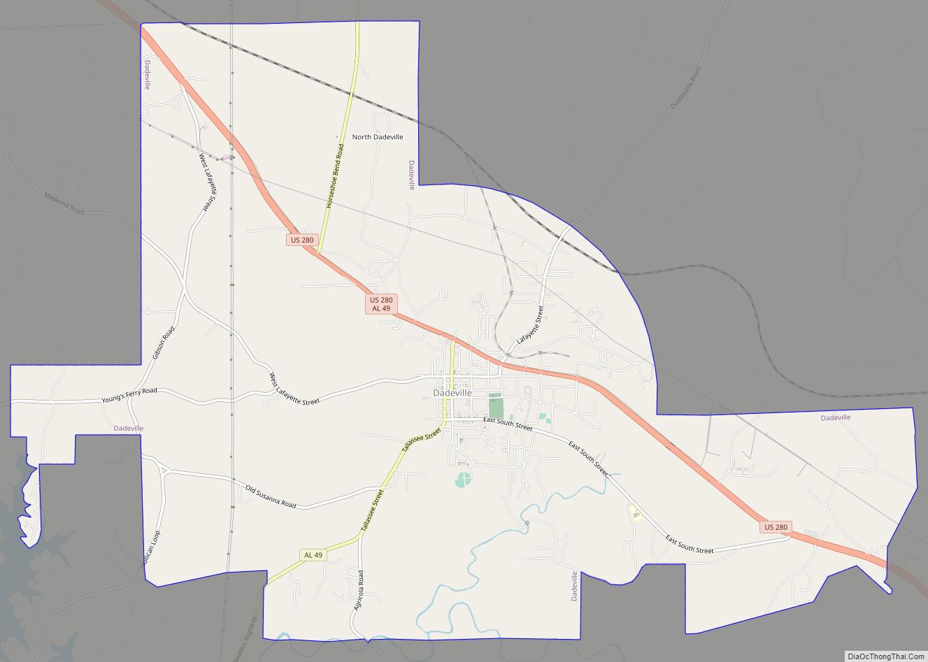
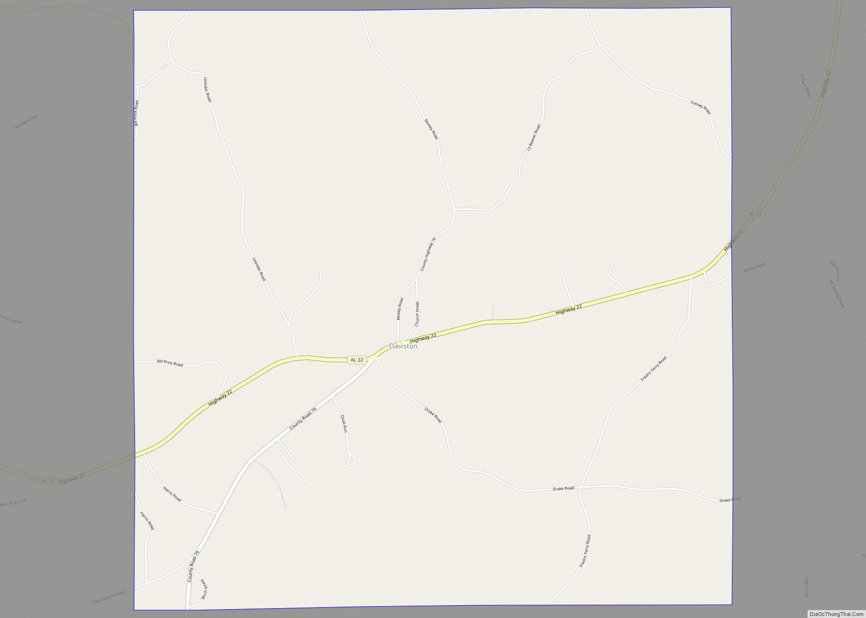
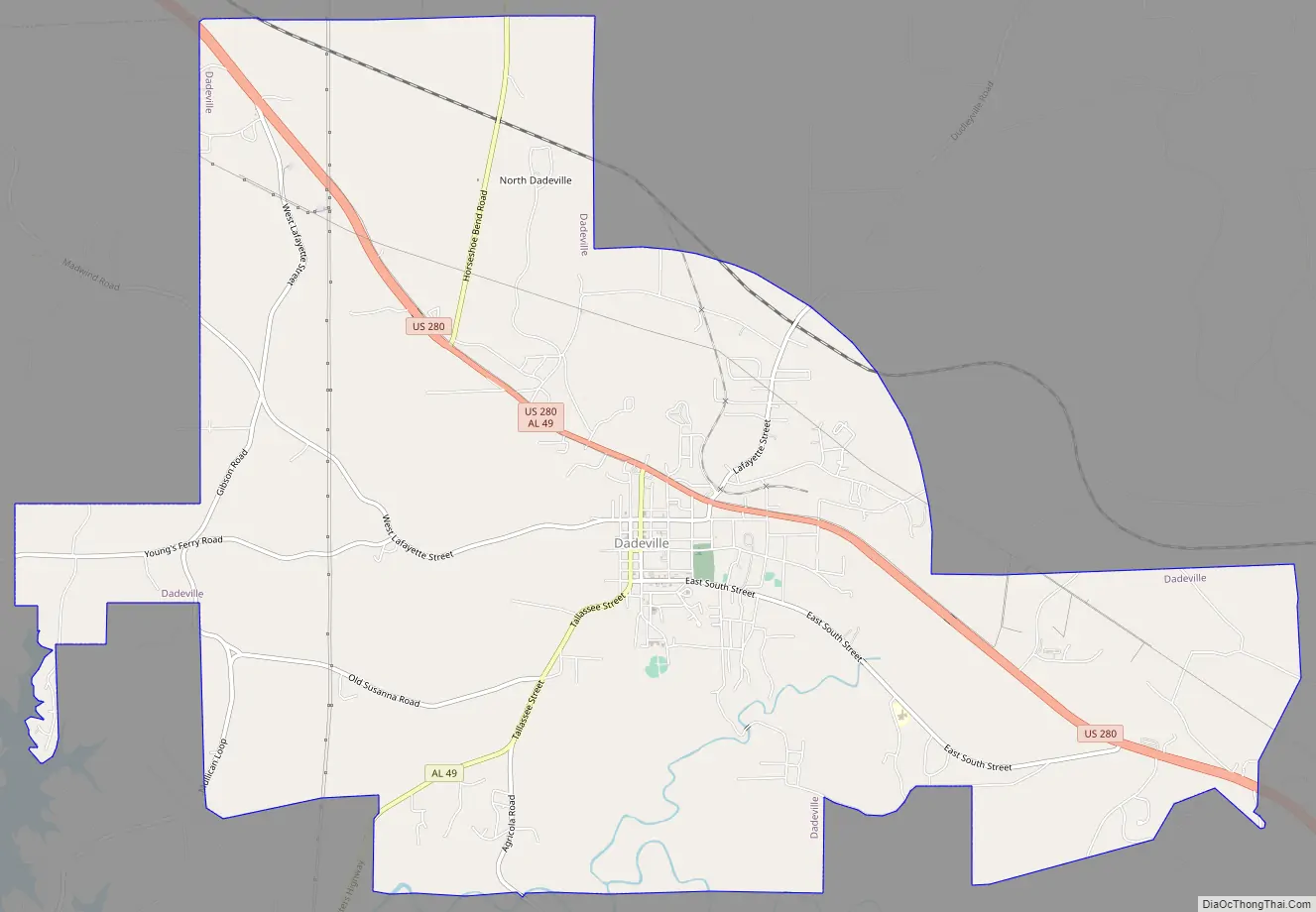
Dadeville Road Map
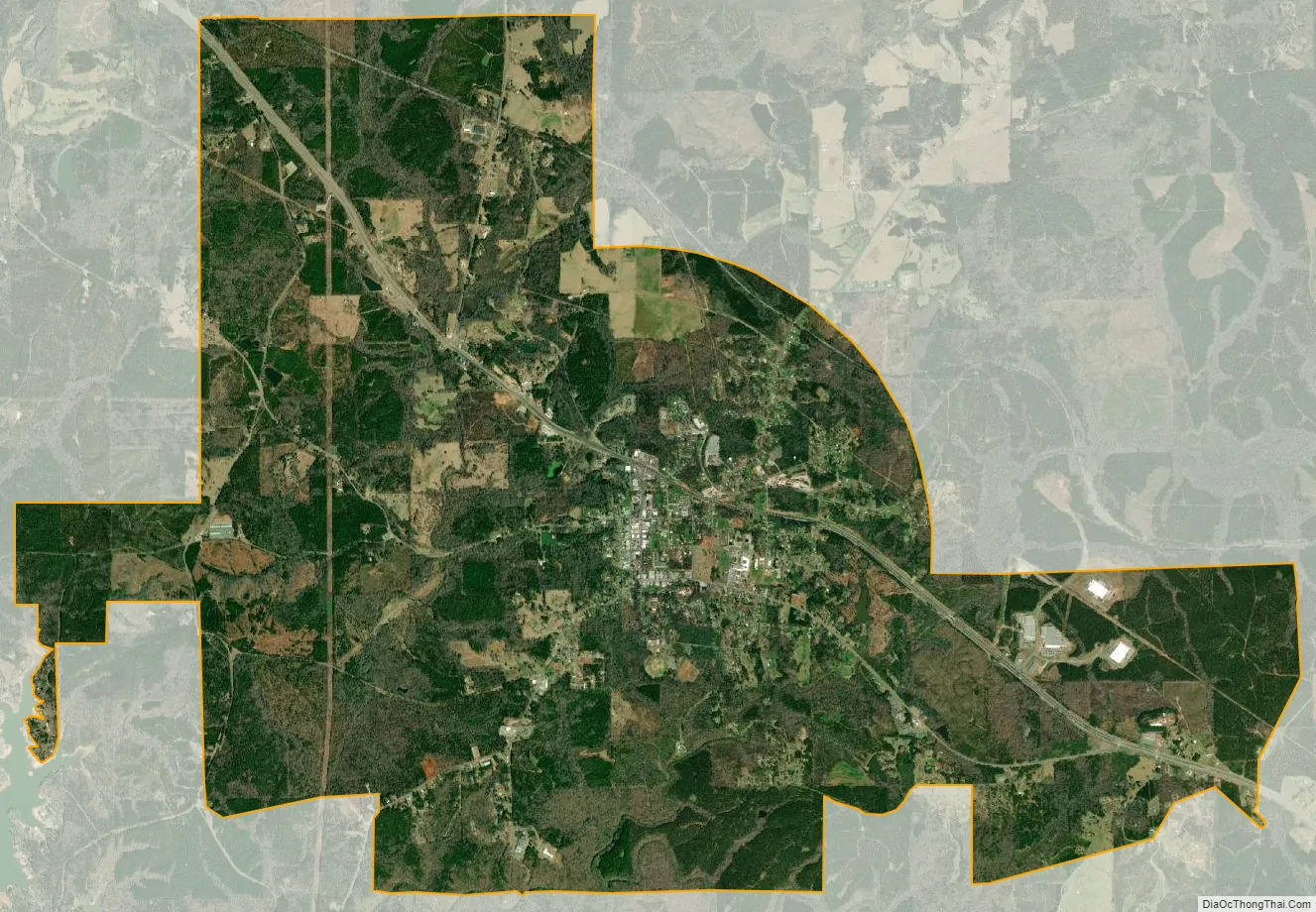
Dadeville city Satellite Map
Geography
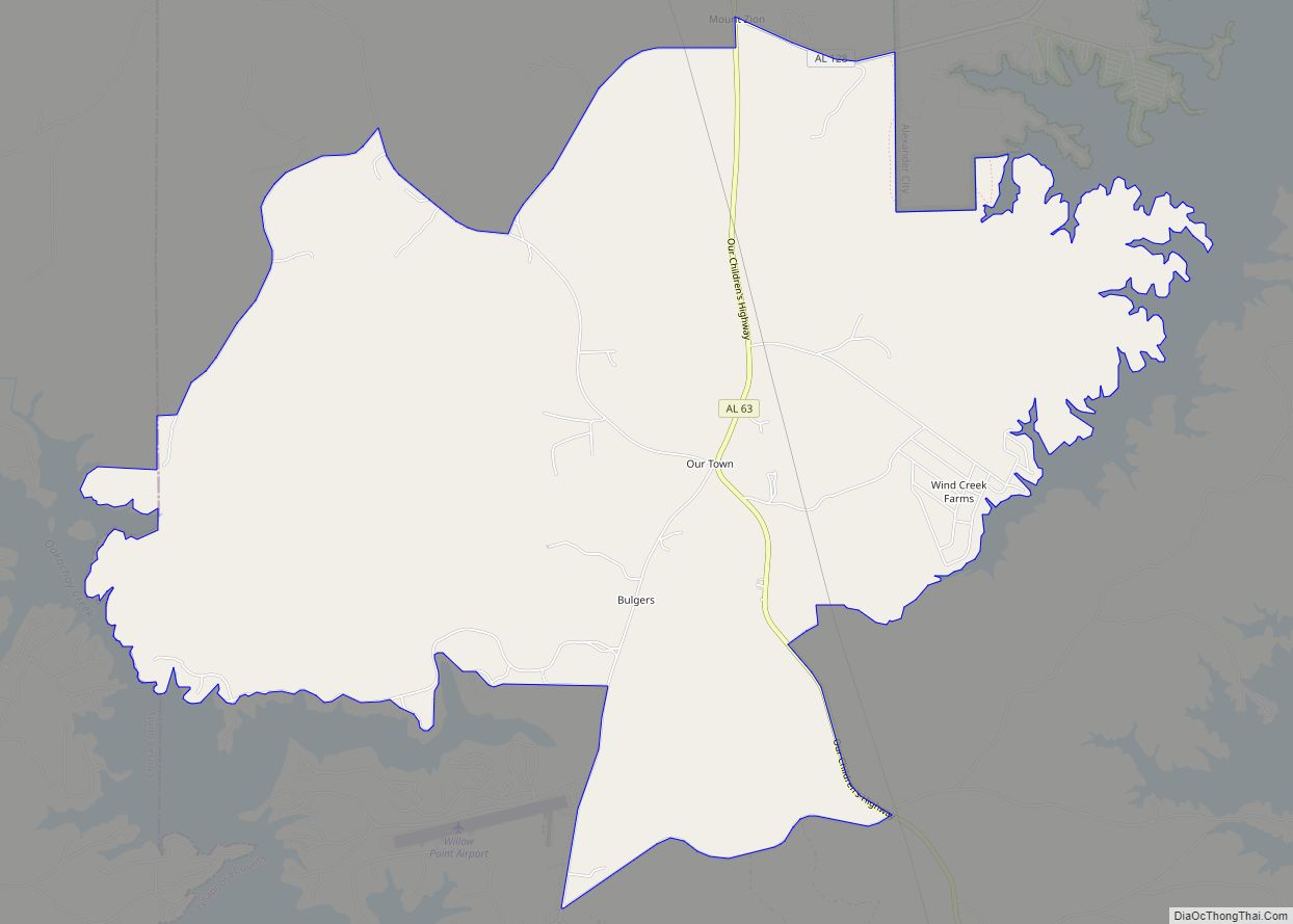
According to the U.S. Census Bureau, the city has a total area of 16.0 square miles (41 km), all land.
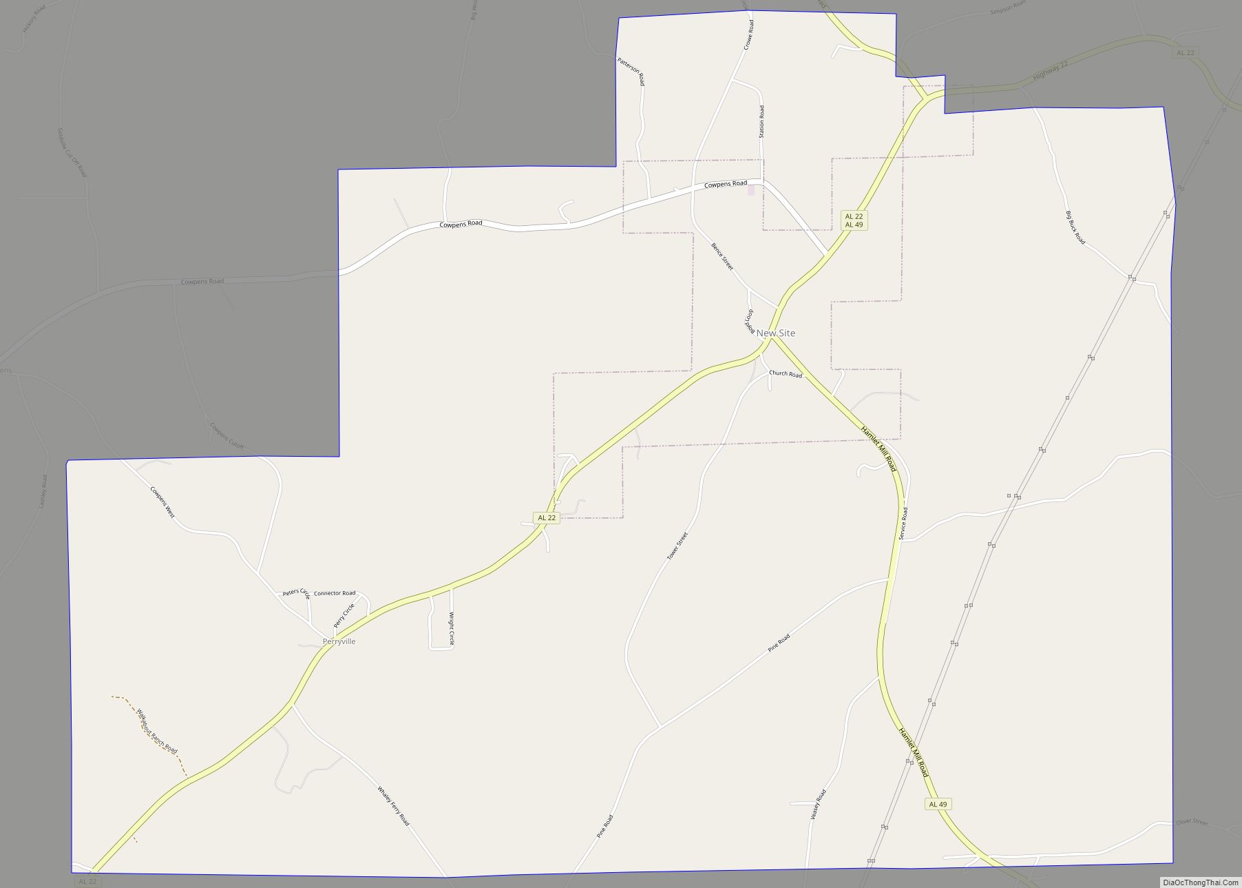
The city is located in the east central part of the state along U.S. Route 280, which runs through the northern part of the city. It leads northwest 15 mi (24 km) to Alexander City and southeast 28 mi (45 km) to Opelika. Birmingham is 85 mi (137 km) northwest via US 280. Alabama State Route 49 also runs through the city from north to south, leading north 18 mi (29 km) to New Site and south 18 mi (29 km) to Reeltown.
Climate
The climate in this area is characterized by hot, humid summers and generally mild to cool winters. According to the Köppen climate classification system, Dadeville has a humid subtropical climate, abbreviated “Cfa” on climate maps.
See also
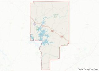
Map of Alabama State and its subdivision:- Autauga
- Baldwin
- Barbour
- Bibb
- Blount
- Bullock
- Butler
- Calhoun
- Chambers
- Cherokee
- Chilton
- Choctaw
- Clarke
- Clay
- Cleburne
- Coffee
- Colbert
- Conecuh
- Coosa
- Covington
- Crenshaw
- Cullman
- Dale
- Dallas
- De Kalb
- Elmore
- Escambia
- Etowah
- Fayette
- Franklin
- Geneva
- Greene
- Hale
- Henry
- Houston
- Jackson
- Jefferson
- Lamar
- Lauderdale
- Lawrence
- Lee
- Limestone
- Lowndes
- Macon
- Madison
- Marengo
- Marion
- Marshall
- Mobile
- Monroe
- Montgomery
- Morgan
- Perry
- Pickens
- Pike
- Randolph
- Russell
- Saint Clair
- Shelby
- Sumter
- Talladega
- Tallapoosa
- Tuscaloosa
- Walker
- Washington
- Wilcox
- Winston
- Alabama
- Alaska
- Arizona
- Arkansas
- California
- Colorado
- Connecticut
- Delaware
- District of Columbia
- Florida
- Georgia
- Hawaii
- Idaho
- Illinois
- Indiana
- Iowa
- Kansas
- Kentucky
- Louisiana
- Maine
- Maryland
- Massachusetts
- Michigan
- Minnesota
- Mississippi
- Missouri
- Montana
- Nebraska
- Nevada
- New Hampshire
- New Jersey
- New Mexico
- New York
- North Carolina
- North Dakota
- Ohio
- Oklahoma
- Oregon
- Pennsylvania
- Rhode Island
- South Carolina
- South Dakota
- Tennessee
- Texas
- Utah
- Vermont
- Virginia
- Washington
- West Virginia
- Wisconsin
- Wyoming