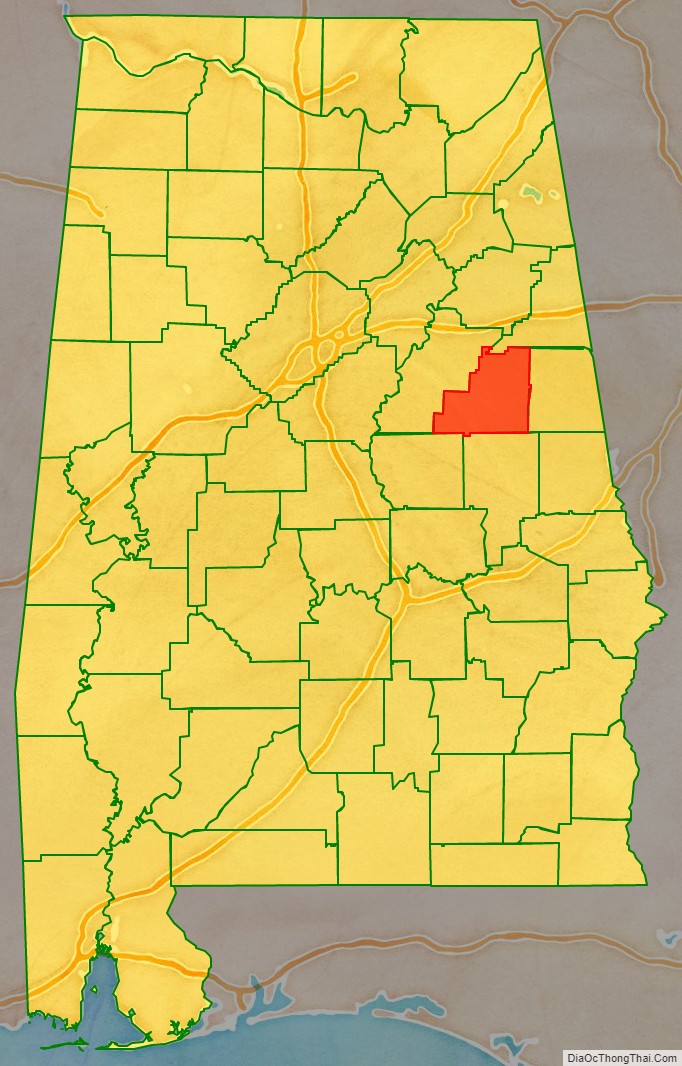
Clay County is a county in the east central part of the U.S. state of Alabama. As of the 2020 census the population was 14,236. Its county seat is Ashland. Its name is in honor of Henry Clay, famous American statesman, member of the United States Senate from Kentucky and United States Secretary of State in the 19th century. It was the last dry county in Alabama with no wet cities within its boundaries, until a vote on March 1, 2016, approved the sale of alcohol in Lineville and Ashland.
| Name: | Clay County |
|---|---|
| FIPS code: | 01-027 |
| State: | Alabama |
| Founded: | December 7, 1866 |
| Named for: | Henry Clay |
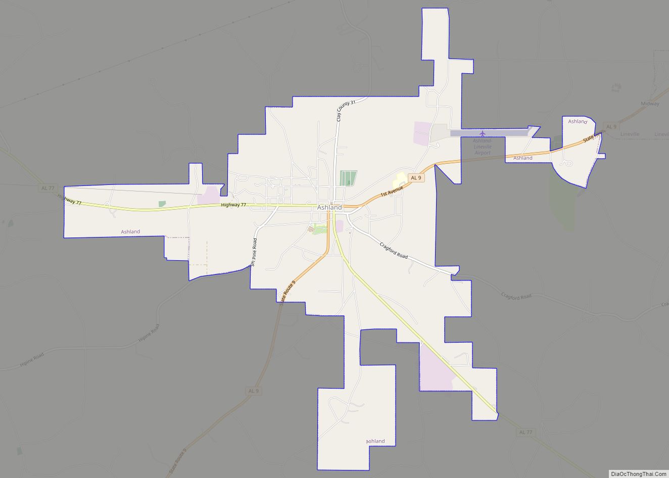
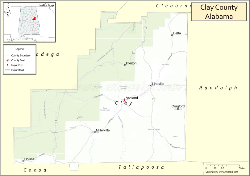
| Seat: | Ashland |
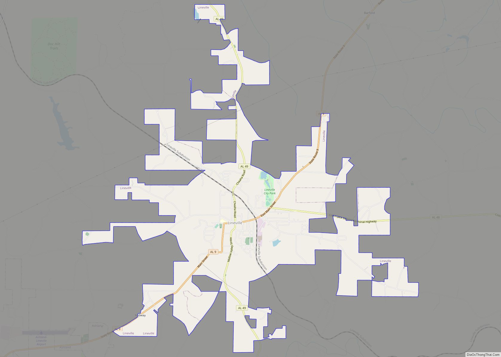
| Largest city: | Lineville |
| Total Area: | 606 sq mi (1,570 km²) |
| Land Area: | 604 sq mi (1,560 km²) |
| Total Population: | 14,236 |
| Population Density: | 23/sq mi (9.1/km²) |
| Time zone: | UTC−6 (Central) |
| Summer Time Zone (DST): | UTC−5 (CDT) |
| Website: | alabamaclaycounty.com |
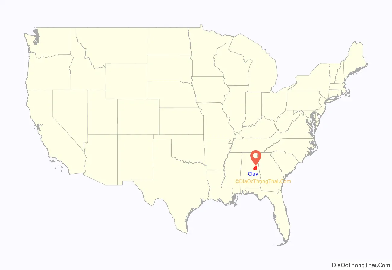
Clay County location map. Where is Clay County?
History
Clay County was established on December 7, 1866, from land taken from Randolph and Talladega counties. Named after the famous statesman Henry Clay, the county seat itself was named after his estate in Lexington, Kentucky called “Ashland”. The county was covered with a heavy growth of trees, and a part of the territory was occupied by the Creek Indians. The early pioneers acquired the lands by government entry and the Indian lands by public auction. The families came wholly from Fayette County, Georgia. Clay County was formed for geographic reasons. The citizens of the area had a difficult time reaching the county seat of Wedowee in Randolph County because of the Tallapoosa River to the east. Talladega was difficult to reach because of the intervening mountains. Even today, Clay County is one of only three counties in Alabama to have no U.S. highways in its boundaries. Ashland was a mining center, particularly for graphite.
During the Desert Shield/Storm conflict, Clay County had more soldiers serving per capita than any other county in the United States.
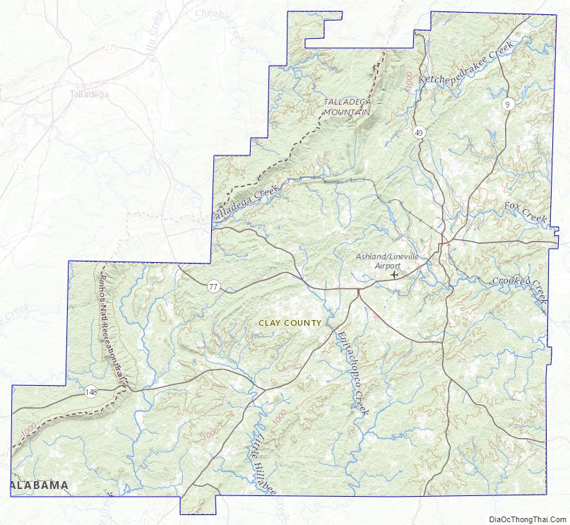
Clay County Road Map
Geography
According to the U.S. Census Bureau, the county has a total area of 606 square miles (1,570 km), of which 604 square miles (1,560 km) is land and 2.0 square miles (5.2 km) (0.3%) is water.
Adjacent counties
- Cleburne County – north
- Randolph County – east
- Tallapoosa County – south
- Coosa County – southwest
- Talladega County – west
National protected area
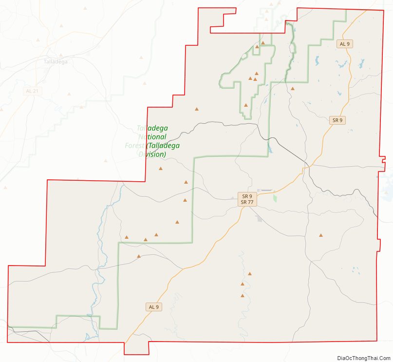
- Talladega National Forest (part)
Clay County Topographic Map
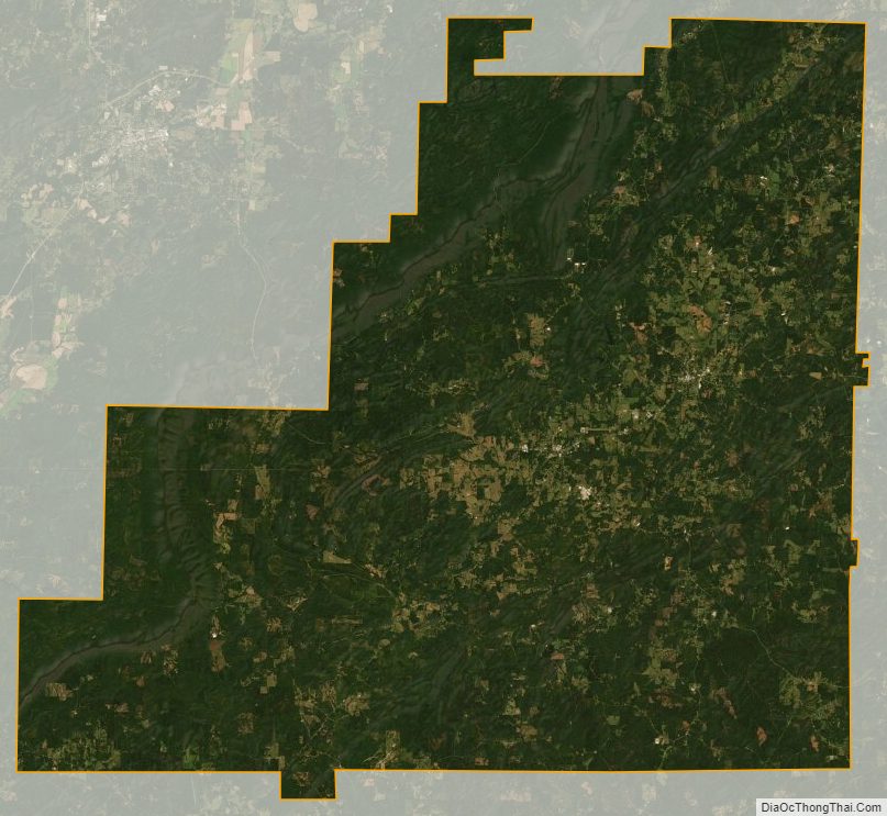
Clay County Satellite Map
Clay County Outline Map