Alexander City, known to locals as “Alex City”, is the largest city in Tallapoosa County, Alabama, United States, with a population of 14,843 as of the 2020 census. It has been the largest community in Tallapoosa County since 1910. It is known for Lake Martin with its 750 miles (1,210 km) of wooded shoreline and 44,000 acres (18,000 ha) of water. Lake Martin stands on the Tallapoosa River and offers boating, swimming, fishing, golfing, and camping. Many neighborhoods and luxury homes are located on the lake.
The city’s economy was traditionally based on the textile industry, but in recent times its economic base has become more diversified as textile jobs have gone to India.
| Name: | Alexander city |
|---|---|
| LSAD Code: | 25 |
| LSAD Description: | city (suffix) |
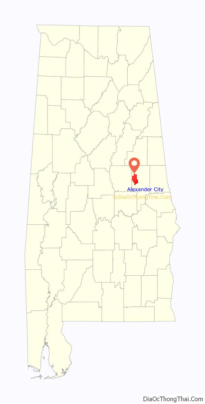
| State: | Alabama |
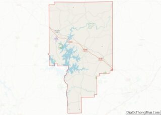
| County: | Tallapoosa County |
| Founded: | 1872 |
| Elevation: | 705 ft (215 m) |
| Total Area: | 43.99 sq mi (113.94 km²) |
| Land Area: | 43.70 sq mi (113.19 km²) |
| Water Area: | 0.29 sq mi (0.75 km²) |
| Total Population: | 14,843 |
| Population Density: | 339.65/sq mi (131.14/km²) |
| ZIP code: | 35010-35011 |
| Area code: | 256 |
| FIPS code: | 0101132 |
| GNISfeature ID: | 0112981 |
| Website: | alexandercityal.gov |
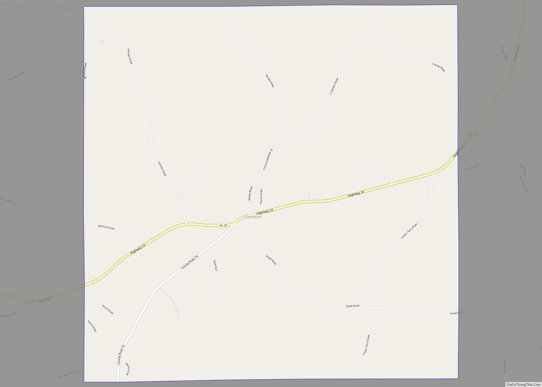
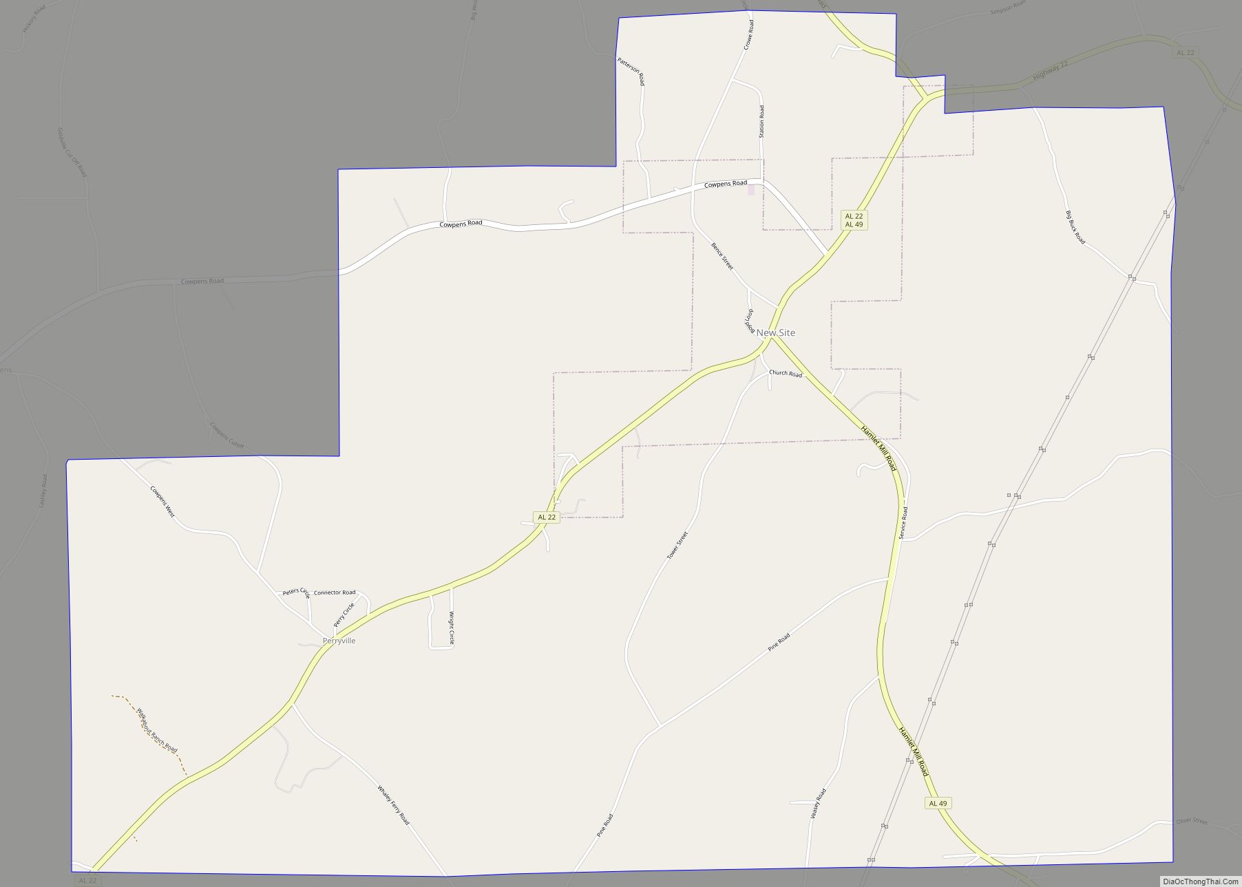
Online Interactive Map
Click on ![]() to view map in "full screen" mode.
to view map in "full screen" mode.
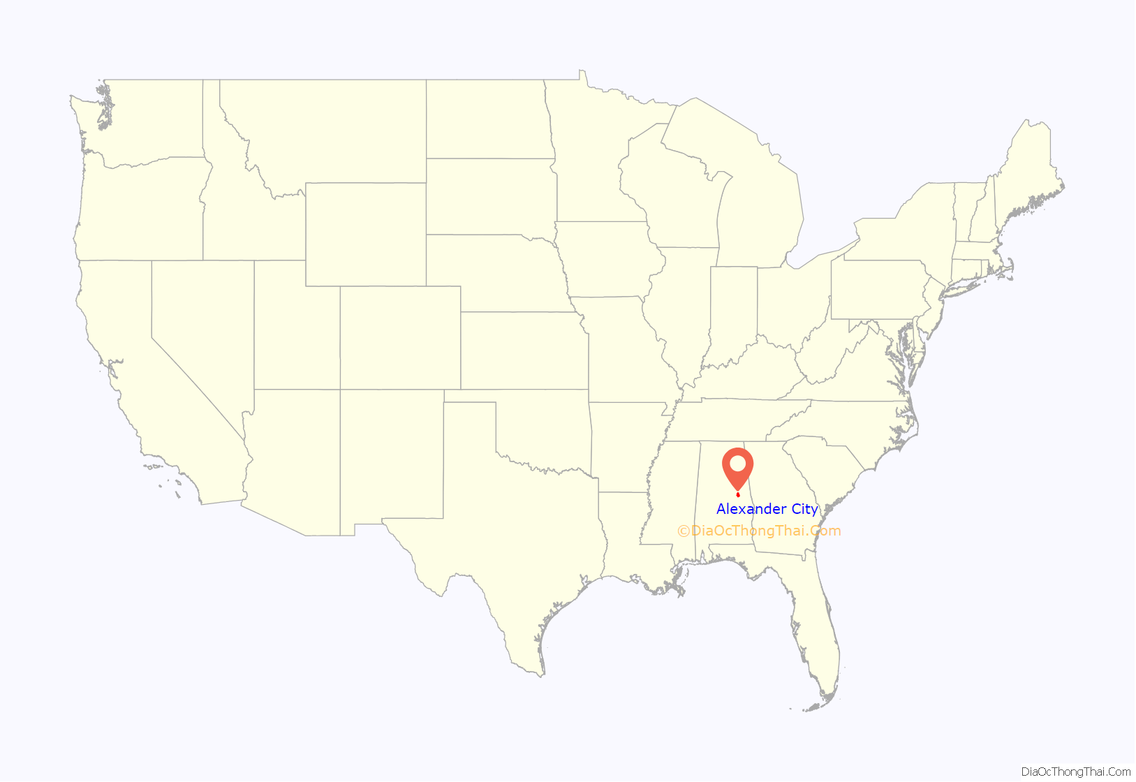
Alexander City location map. Where is Alexander city?
History
Alexander City was incorporated in 1872 as Youngsville, after its founder James Young. In 1873, the Savannah and Memphis Railroad came to the city. The city was renamed in honor of the railroad’s President Edward Porter Alexander, hero of the Battle of Gettysburg for the Confederate States. On July 20, 1897, George Richardson was lynched.
On June 13, 1902, at 1 pm, a fire broke out in the Alexander City Machine shop and destroyed much of the town. At the time, Alexander City did not have a water system and all buildings, including the telegraph office, post office and three banks were burned.
In 2015, plaintiffs represented by the Southern Poverty Law Center sued the City of Alexander and its Chief of Police Willie Robinson in federal court, alleging that they had from 2013 to 2015 operated “a modern-day debtors’ prison” that unconstitutionally used its police force to arrest and detain at least 190 poor defendants who were unable to pay Municipal Court-imposed fines and costs. In 2017, the city reached a settlement, in which the city and its insurer agreed to pay $680,000 to persons illegally jailed.
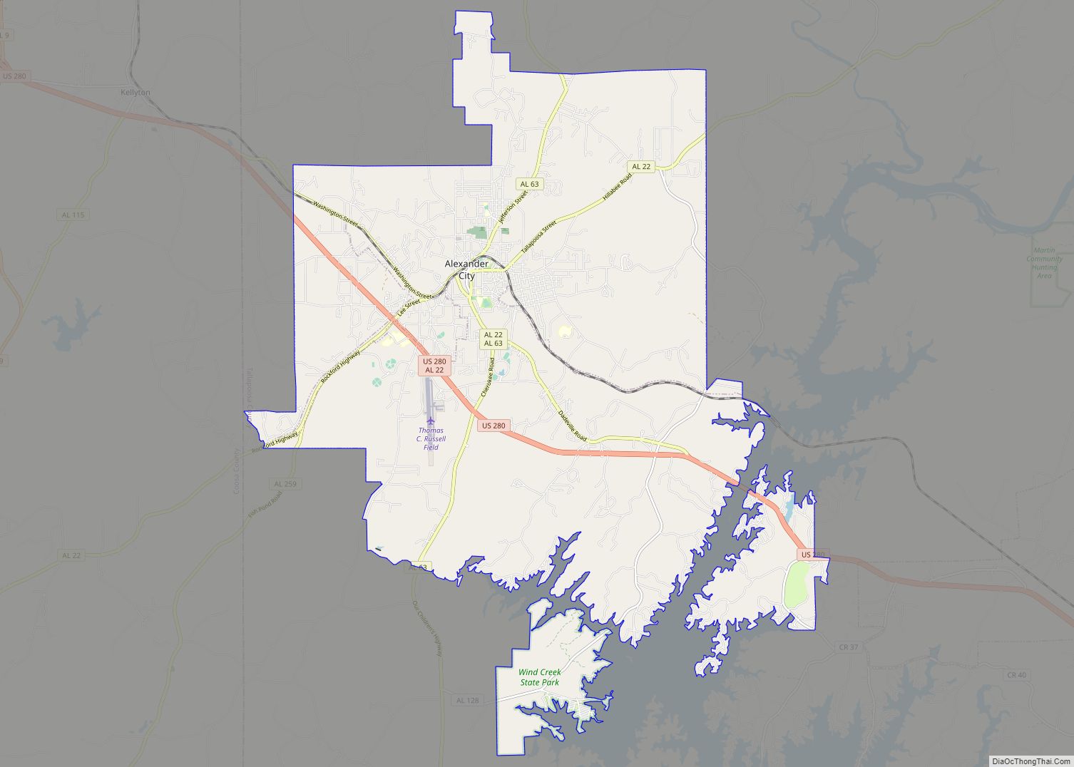
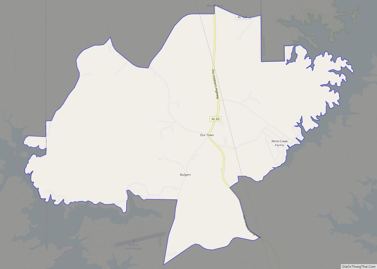
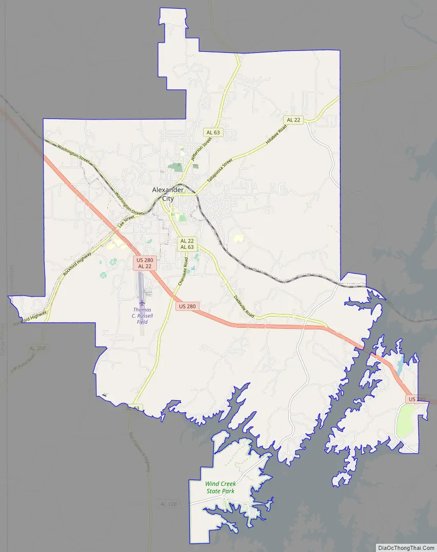
Alexander City Road Map
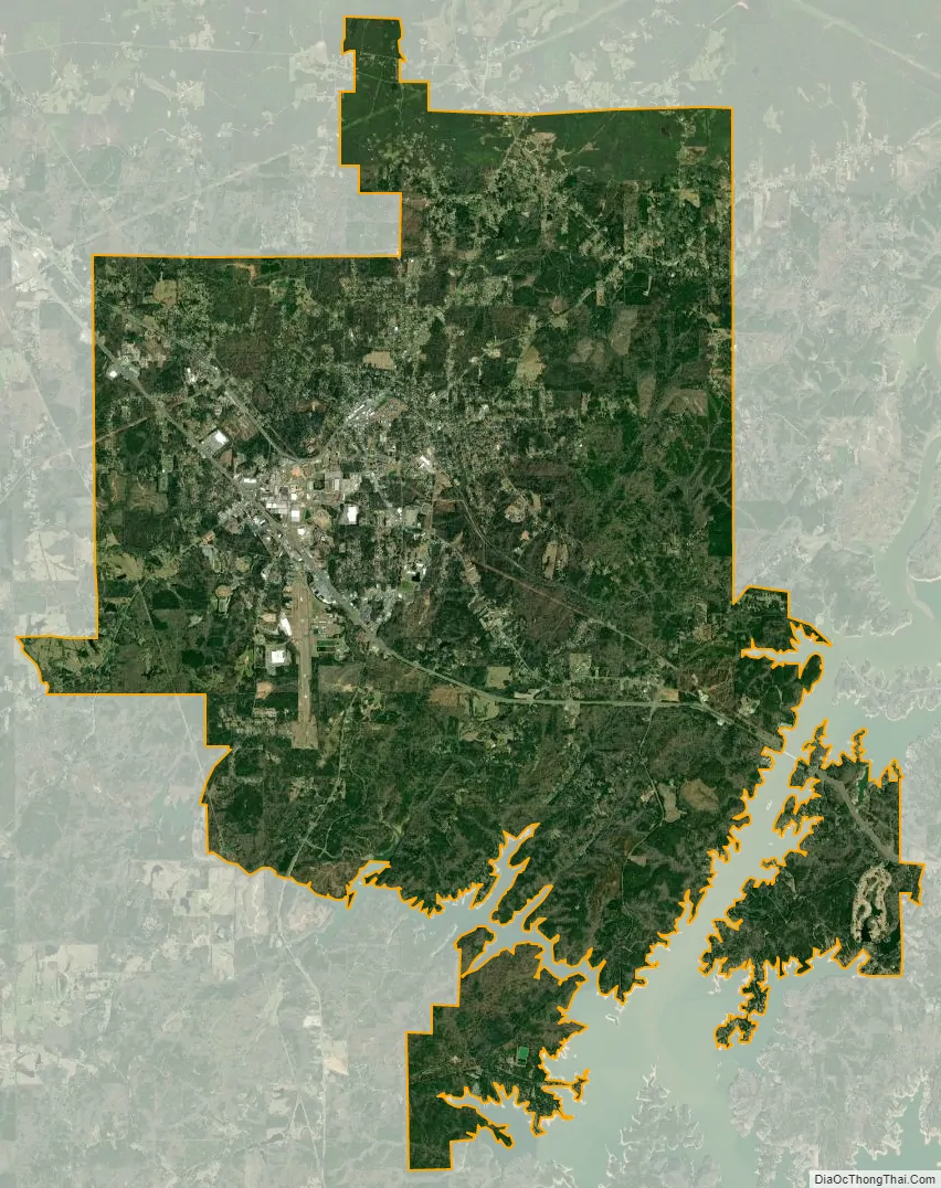
Alexander City city Satellite Map
Geography
Alexander City is located at 32°55′59″N 85°56′10″W / 32.93306°N 85.93611°W / 32.93306; -85.93611 (32.933157, -85.936008).
According to the U.S. Census Bureau, the city has a total area of 39.0 square miles (101.0 km), of which 38.8 square miles (100.5 km) is land and 0.2 square miles (0.5 km) (0.44%) is water.
Alexander City is located on U.S. Route 280. Birmingham is 60 miles (97 km) to the north, Auburn is 40 miles (64 km) southeast and Montgomery is 50 miles (80 km) south-southwest of Alexander City.
Climate
The climate in this area is characterized by hot, humid summers and generally mild to cool winters. According to the Köppen Climate Classification system, Alexander City has a humid subtropical climate, abbreviated “Cfa” on climate maps.
See also
Map of Alabama State and its subdivision:- Autauga
- Baldwin
- Barbour
- Bibb
- Blount
- Bullock
- Butler
- Calhoun
- Chambers
- Cherokee
- Chilton
- Choctaw
- Clarke
- Clay
- Cleburne
- Coffee
- Colbert
- Conecuh
- Coosa
- Covington
- Crenshaw
- Cullman
- Dale
- Dallas
- De Kalb
- Elmore
- Escambia
- Etowah
- Fayette
- Franklin
- Geneva
- Greene
- Hale
- Henry
- Houston
- Jackson
- Jefferson
- Lamar
- Lauderdale
- Lawrence
- Lee
- Limestone
- Lowndes
- Macon
- Madison
- Marengo
- Marion
- Marshall
- Mobile
- Monroe
- Montgomery
- Morgan
- Perry
- Pickens
- Pike
- Randolph
- Russell
- Saint Clair
- Shelby
- Sumter
- Talladega
- Tallapoosa
- Tuscaloosa
- Walker
- Washington
- Wilcox
- Winston
- Alabama
- Alaska
- Arizona
- Arkansas
- California
- Colorado
- Connecticut
- Delaware
- District of Columbia
- Florida
- Georgia
- Hawaii
- Idaho
- Illinois
- Indiana
- Iowa
- Kansas
- Kentucky
- Louisiana
- Maine
- Maryland
- Massachusetts
- Michigan
- Minnesota
- Mississippi
- Missouri
- Montana
- Nebraska
- Nevada
- New Hampshire
- New Jersey
- New Mexico
- New York
- North Carolina
- North Dakota
- Ohio
- Oklahoma
- Oregon
- Pennsylvania
- Rhode Island
- South Carolina
- South Dakota
- Tennessee
- Texas
- Utah
- Vermont
- Virginia
- Washington
- West Virginia
- Wisconsin
- Wyoming