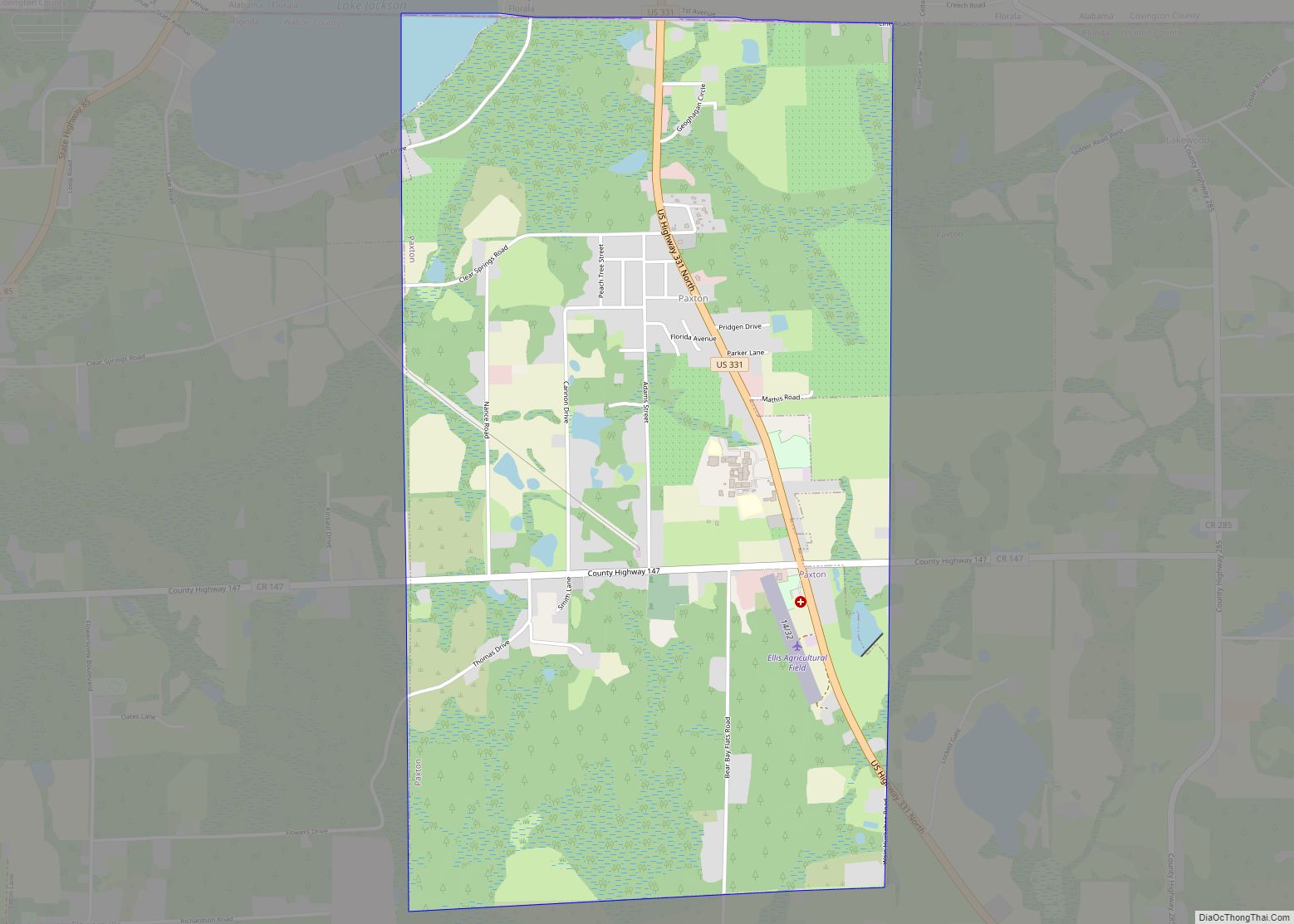
Walton County is located on the Emerald Coast in the northwestern part of the U.S. state of Florida, with its southern border on the Gulf of Mexico. As of the 2020 census, the population was 75,305. Its county seat is DeFuniak Springs. The county is home to the highest natural point in Florida: Britton Hill, at 345 feet (105 m). Walton County is included in the Crestview–Fort Walton Beach–Destin Metropolitan Statistical Area.
| Name: | Walton County |
|---|---|
| FIPS code: | 12-131 |
| State: | Florida |
| Founded: | December 29, 1824 |
| Named for: | George Walton Jr. |
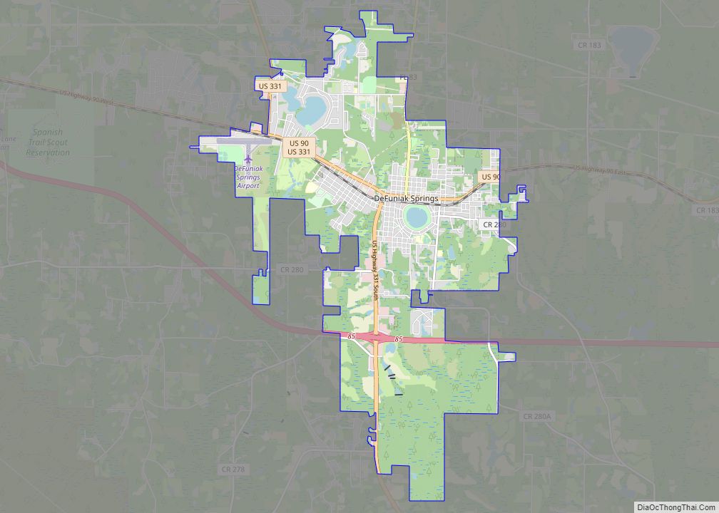
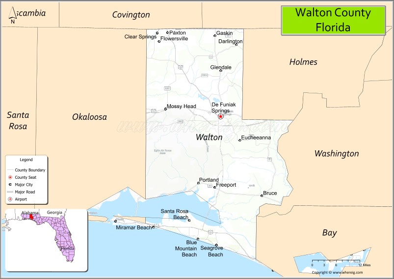
| Seat: | DeFuniak Springs |
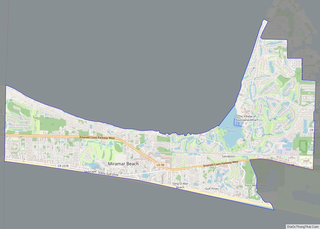
| Largest city: | Miramar Beach |
| Total Area: | 1,240 sq mi (3,200 km²) |
| Land Area: | 1,038 sq mi (2,690 km²) |
| Total Population: | 75,305 |
| Population Density: | 73/sq mi (28/km²) |
| Time zone: | UTC−6 (Central) |
| Summer Time Zone (DST): | UTC−5 (CDT) |
| Website: | www.co.walton.fl.us |
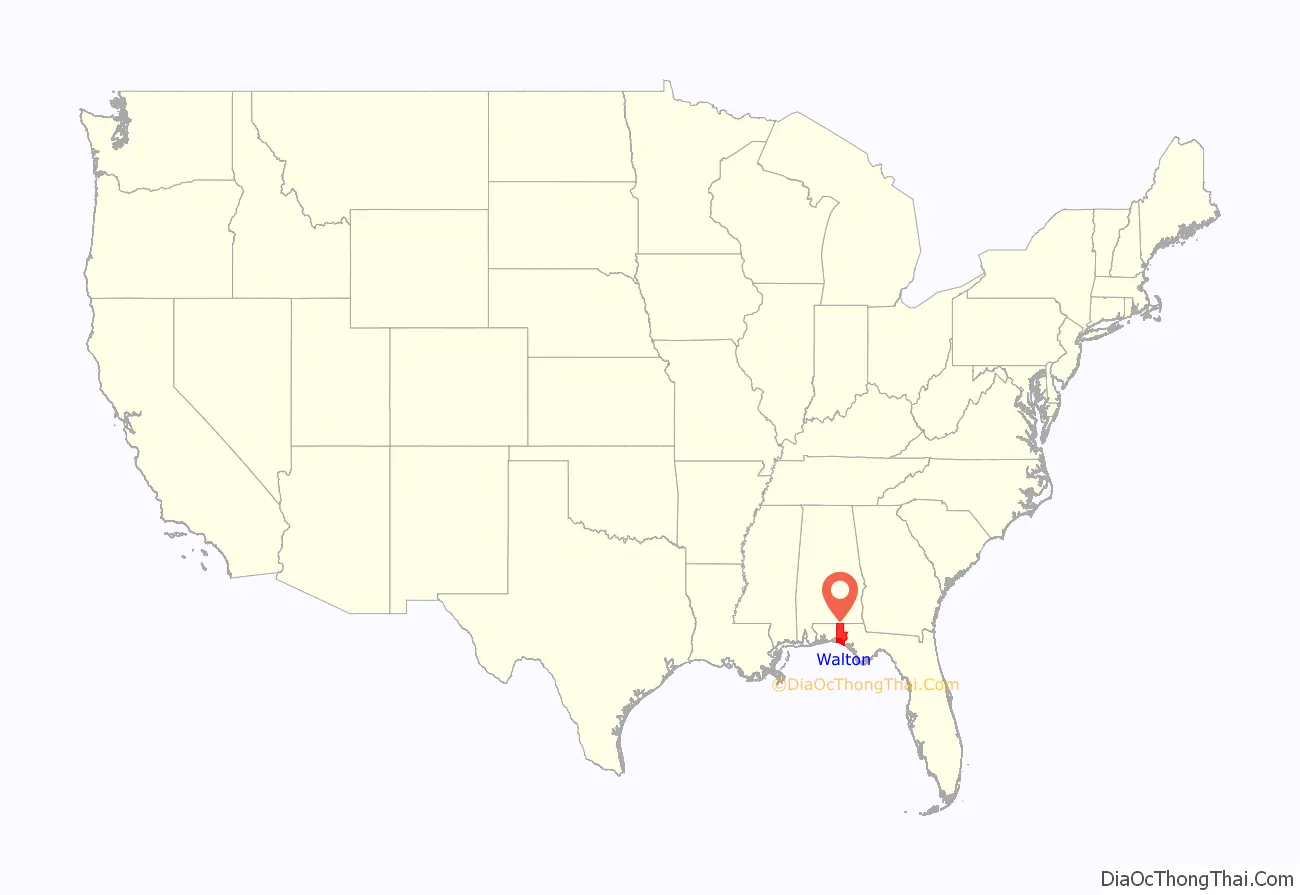
Walton County location map. Where is Walton County?

History
Walton County was organized by European Americans in 1824. It was named for Colonel George Walton Jr., secretary of the Florida Territory from 1821 to 1826. Walton, the son of George Walton, a signer of the Declaration of Independence, was born 15 August 1786 in Augusta, Georgia, and died 20 March 1859 in Petersburg, Virginia.
Between 1763 and 1783 the territory that has since become Walton County was part of the colony of British West Florida. During this time British settlers permanently settled in the area, becoming the first English-speaking people to permanently reside in what is now Walton County. During this period Scottish settlers migrated from the backcountry of the Carolinas and settled in the Defuniak Springs area while English settlers, most of whom were either farmers or fishermen, settled in the southern portion of the county by the sea, settling throughout the area that has since become Santa Rosa Beach, Sandestin, Miramar Beach, Point Washington, Seaside and Topsail Hill Preserve State Park and Point Washington State Forest.
While the Scottish settlers had come from a recently established Scottish-majority settlement in North Carolina, the English settlers came largely from the English regions of Norfolk, Dorset and the western half of Sussex. Both the Scots village in the northern portion of the county and the English community along the coast were largely self-contained and had economies that were entirely operational without external trade, as all products in use were made within the two respective communities, and the only external trade was between the Scots in Defuniak Springs and the English farmers/fishermen by the coast. Neither community exported the goods they produced for profit, nor did they have any imported goods at all as both communities relied on self-produced subsistence agriculture. The original settlements were in the Euchee (Yuchi) Valley, near the landing on the Choctawhatchee River that was maintained by a mixed-race Yuchi named Sam Story, whose mother was Yuchi and father was an early Scots trader in the area. The white settlers founded one of the first Presbyterian churches in Northwest Florida. It is still an operating parish and has a historical cemetery.
When the Spanish regained control of Florida in 1783, roughly two-thirds of the British settlers in Pensacola left the colony to find permanent habitation elsewhere, including in the Bahamas and Bermuda, however none of the English or Scottish settlers in what has since become Walton County left with them. The Spanish came to regard the English and Scottish settlers in what has since become Walton County as “stubborn” and “ungovernable” as the Spanish were unable to make them obey Spanish law. They unanimously refused to convert to Catholicism, despite the fact that Spanish law said they were only allowed to remain in Florida if they did so and the Spanish were unable to compel them to pay taxes to the local Spanish government. As settlers from the newly created United States of America began migrating into north Florida the English and Scottish settlers in what has since become Walton County became gradually absorbed into this community, which would subsequently become the majority population in North Florida.
In 1860, there were roughly 573 military aged men in Walton County. Of that population, 62, or 11%, went to serve in the Union unit, the 1st Florida Cavalry Regiment that was mustered in on October 29, 1863.
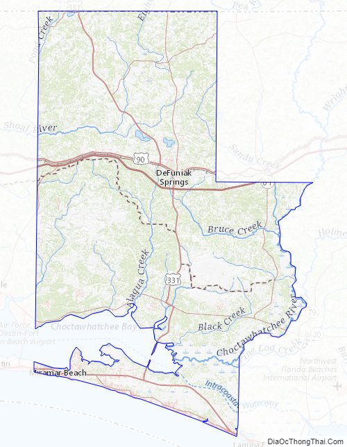
Walton County Road Map
Geography
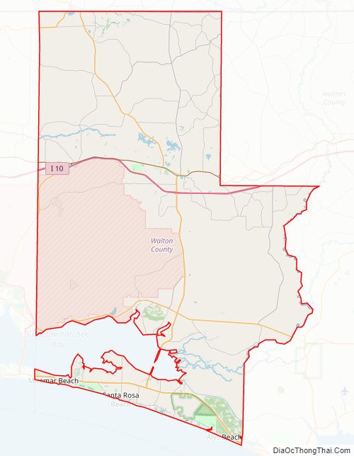
According to the U.S. Census Bureau, the county has a total area of 1,240 square miles (3,200 km), of which 1,038 square miles (2,690 km) is land and 202 square miles (520 km) (16.3%) is water. The county is one of the largest in area in the state, stretching from the Alabama state line to the Emerald Coast.
Adjacent counties
- Covington County, Alabama – northwest
- Geneva County, Alabama – northeast
- Holmes County – east
- Washington County – east
- Bay County – southeast
- Okaloosa County – west
National protected areas
- Choctawhatchee National Forest (part)
- Point Washington State Forest (part)
Walton County Topographic Map
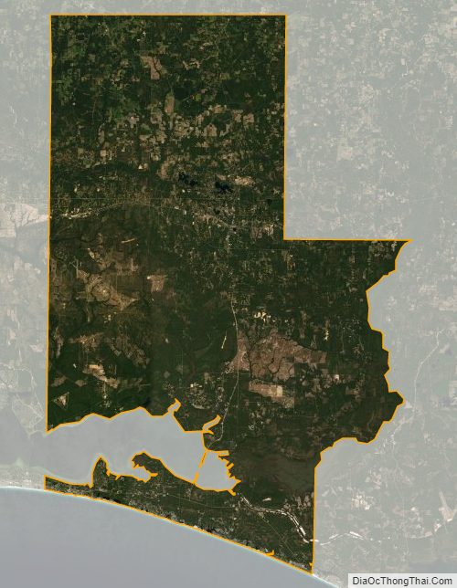
Walton County Satellite Map
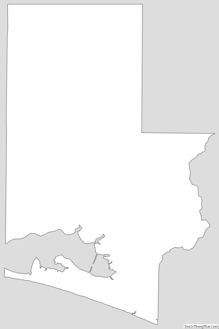
Walton County Outline Map