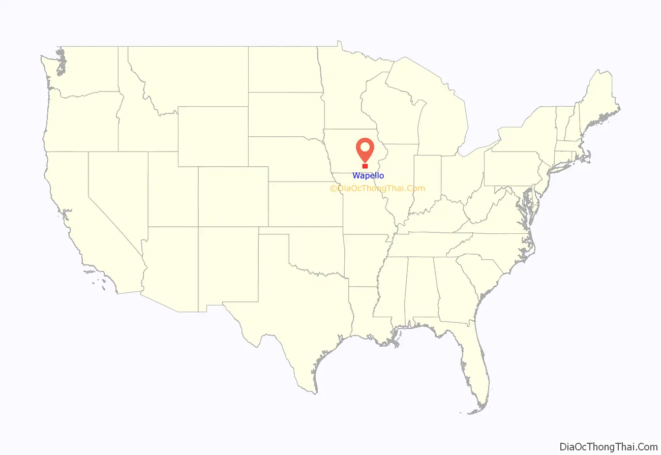
| Name: | Wapello County |
|---|---|
| FIPS code: | 19-179 |
| State: | Iowa |
| Founded: | 1843 |
| Named for: | Wapello |
| Seat: | Ottumwa |
| Largest city: | Ottumwa |
| Total Area: | 436 sq mi (1,130 km²) |
| Land Area: | 432 sq mi (1,120 km²) |
| Total Population: | 35,437 |
| Population Density: | 81/sq mi (31/km²) |
| Time zone: | UTC−6 (Central) |
| Summer Time Zone (DST): | UTC−5 (CDT) |
| Website: | www.wapellocounty.org |
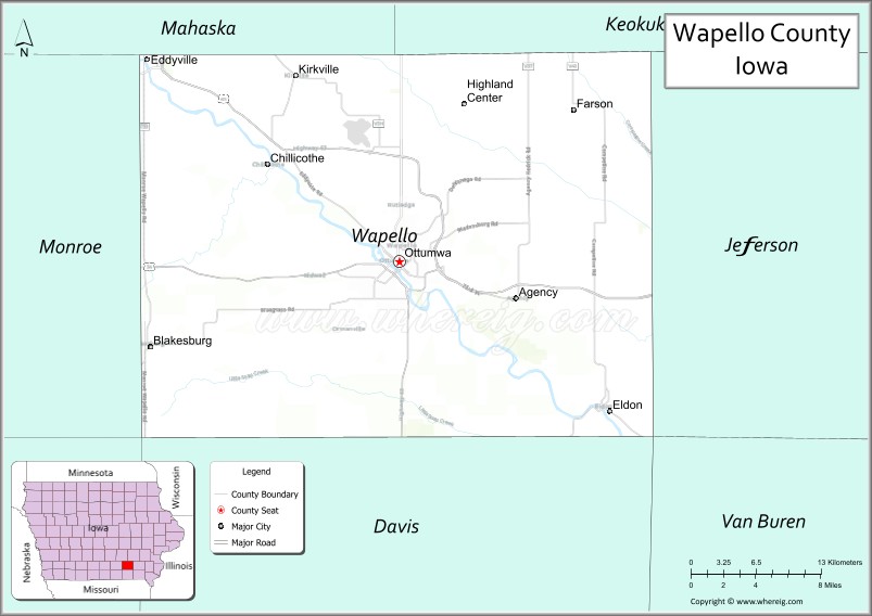
Wapello County location map. Where is Wapello County?
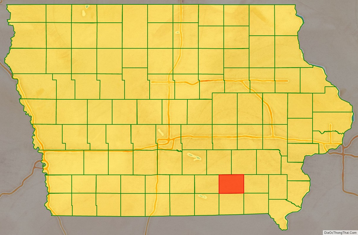
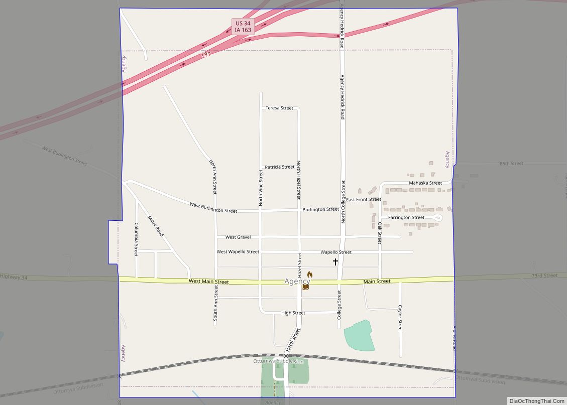
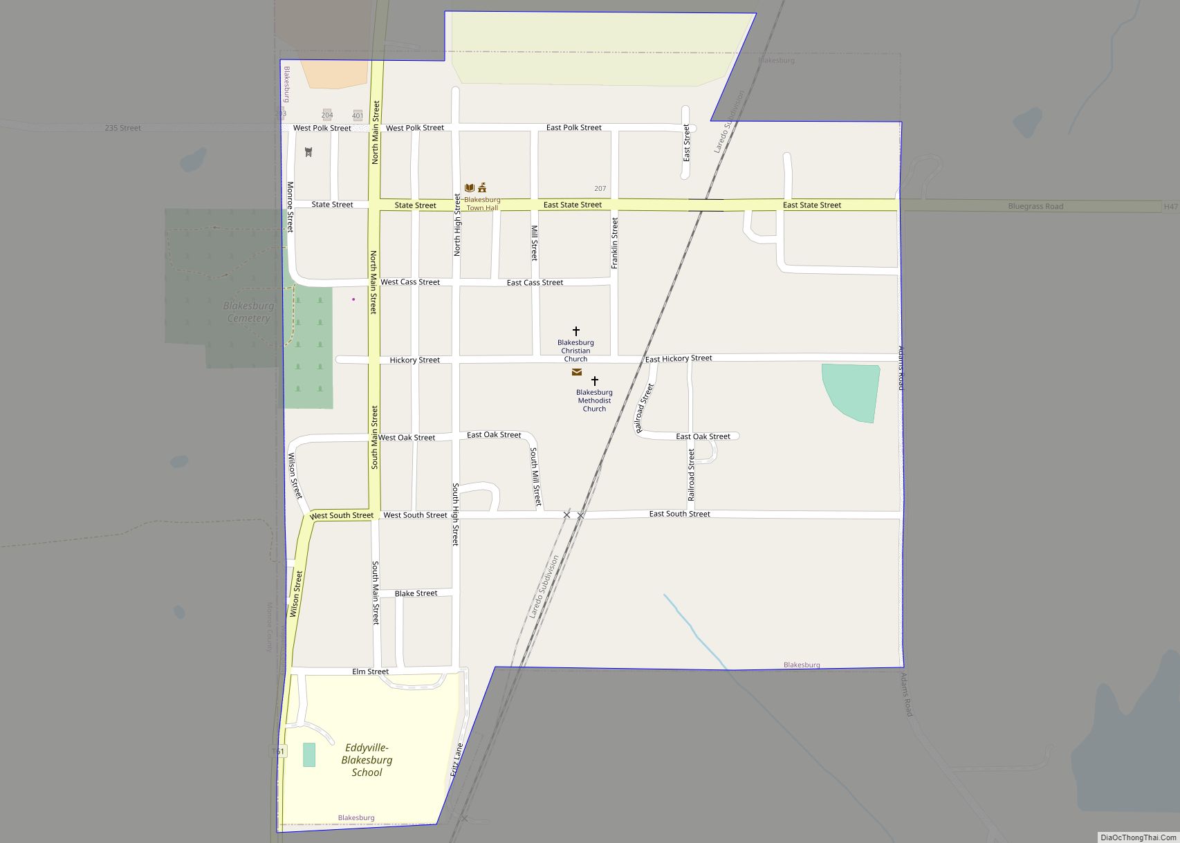
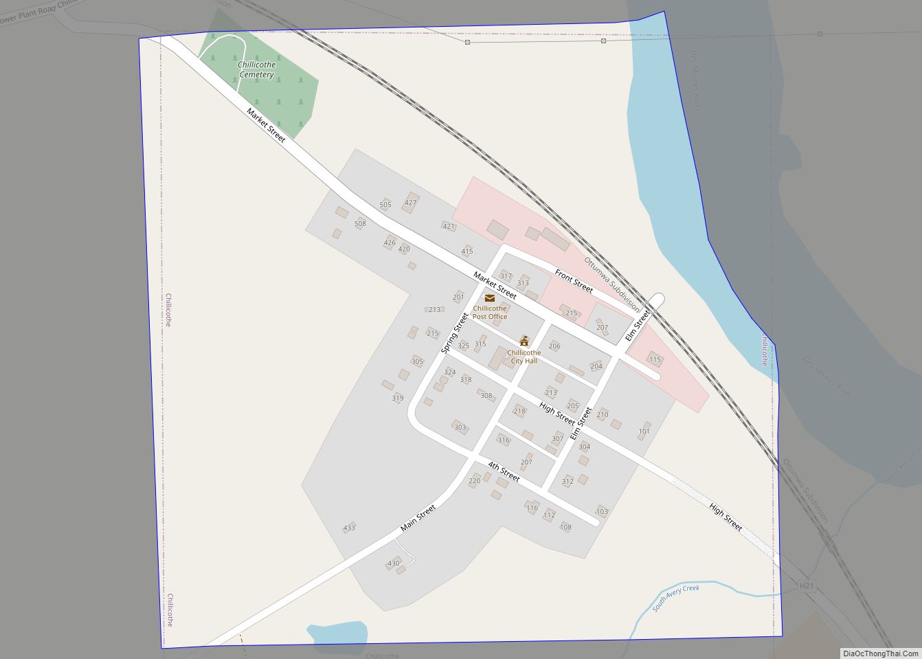
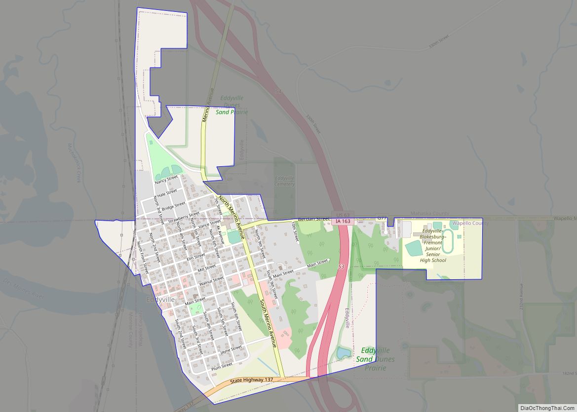
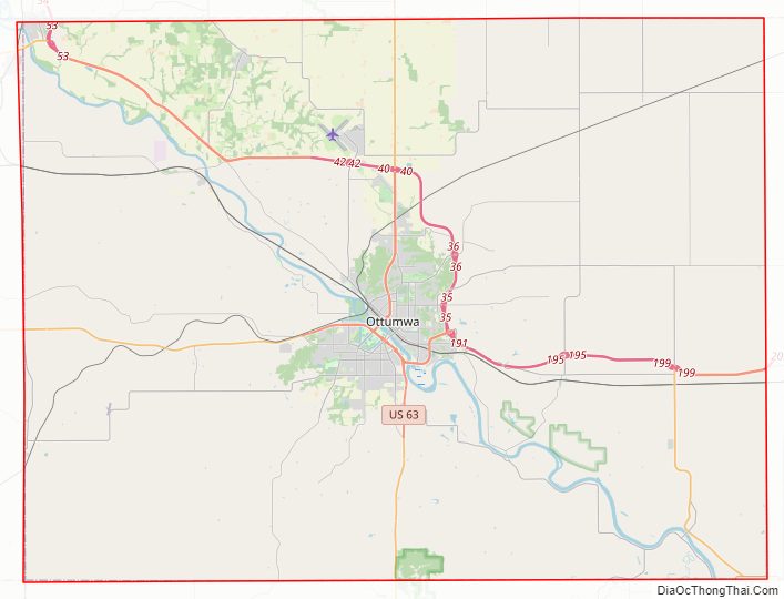
Wapello County Road Map
Geography
According to the U.S. Census Bureau, the county has a total area of 436 square miles (1,130 km), of which 432 square miles (1,120 km) is land and 4.2 square miles (11 km) (1.0%) is water.
Major highways
- U.S. Highway 34
- U.S. Highway 63
- Iowa Highway 16
- Iowa Highway 137
- Iowa Highway 149
Transit
- Ottumwa station
- Ottumwa Transit Authority
- List of intercity bus stops in Iowa
Adjacent counties
- Mahaska County (northwest)
- Keokuk County (northeast)
- Jefferson County (east)
- Davis County (south)
- Monroe County (west)
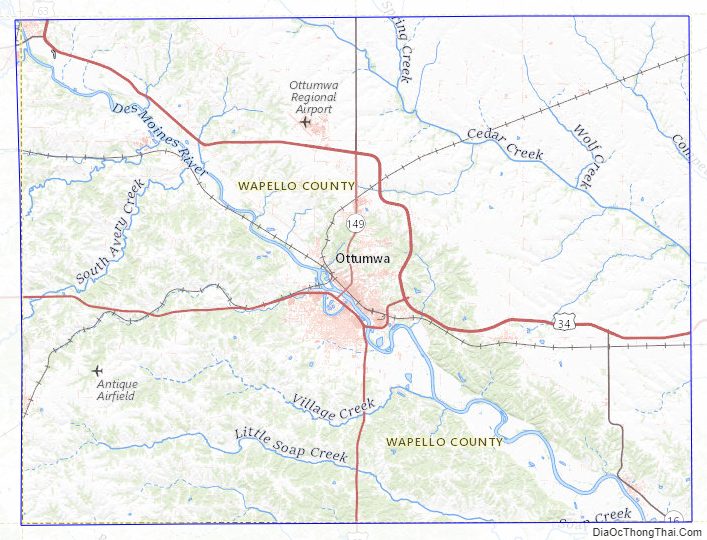
Wapello County Topographic Map
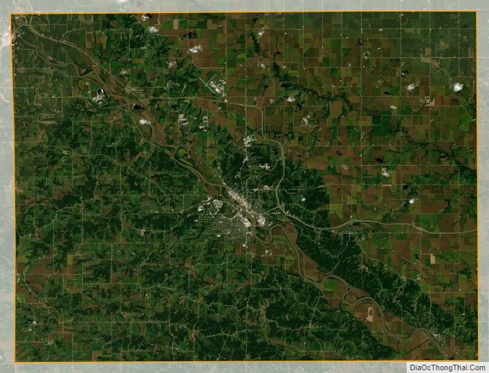
Wapello County Satellite Map
Wapello County Outline Map