Agency is a city in Wapello County, Iowa, United States. The population was 620 at the 2020 census. It is the historic site of an Indian trading post and the grave of Chief Wapello.
| Name: | Agency city |
|---|---|
| LSAD Code: | 25 |
| LSAD Description: | city (suffix) |
| State: | Iowa |
| County: | Wapello County |
| Elevation: | 814 ft (248 m) |
| Total Area: | 0.57 sq mi (1.47 km²) |
| Land Area: | 0.57 sq mi (1.47 km²) |
| Water Area: | 0.00 sq mi (0.00 km²) |
| Total Population: | 620 |
| Population Density: | 1,095.41/sq mi (423.12/km²) |
| ZIP code: | 52530 |
| Area code: | 641 |
| FIPS code: | 1900640 |
| GNISfeature ID: | 0454105 |
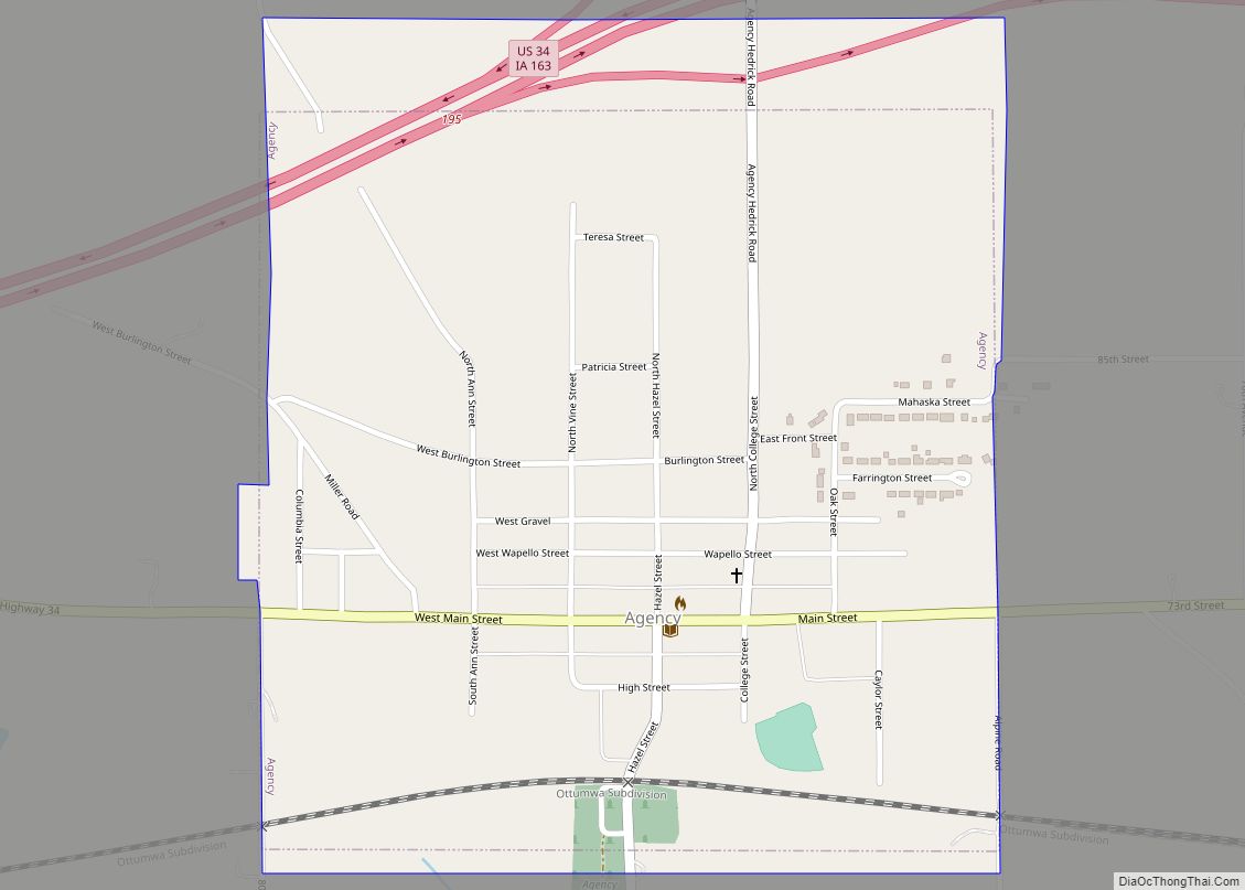
Online Interactive Map
Click on ![]() to view map in "full screen" mode.
to view map in "full screen" mode.
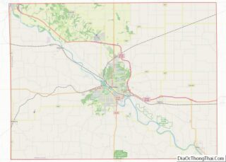
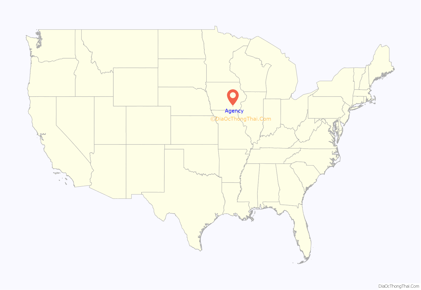
Agency location map. Where is Agency city?

History
An Indian agency was established here in 1838 and operated until the local tribes were moved to Kansas. The town was founded on the site of the agency in 1843 and incorporated in 1859.
Agency is the resting place for Chief Wapello. Chief Wapello was second in command in the Sac and Fox tribe, just under Chief Keokuk. Chief Wapello is buried next to his good friend General Joseph M. Street, and his family.
On April 11, 2001, an F2 tornado ripped through Agency destroying or damaging dozens of structures. Two people were killed and three others injured.
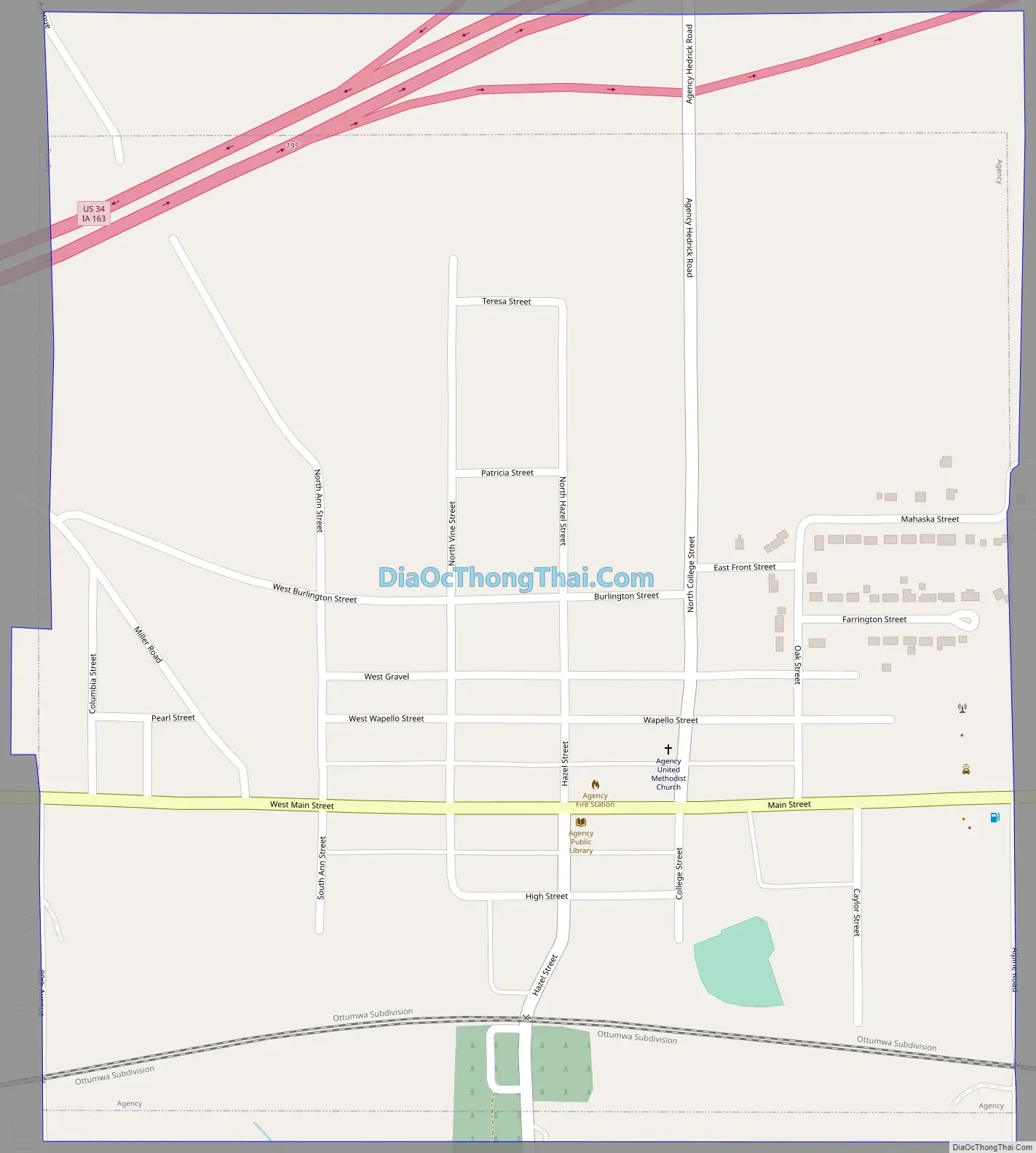
Agency Road Map
Agency city Satellite Map

Geography
Agency is located at 40°59′44″N 92°18′27″W / 40.99556°N 92.30750°W / 40.99556; -92.30750 (40.995432, -92.307532).
According to the United States Census Bureau, the city has a total area of 0.65 square miles (1.68 km), all land.
See also
Map of Iowa State and its subdivision:- Adair
- Adams
- Allamakee
- Appanoose
- Audubon
- Benton
- Black Hawk
- Boone
- Bremer
- Buchanan
- Buena Vista
- Butler
- Calhoun
- Carroll
- Cass
- Cedar
- Cerro Gordo
- Cherokee
- Chickasaw
- Clarke
- Clay
- Clayton
- Clinton
- Crawford
- Dallas
- Davis
- Decatur
- Delaware
- Des Moines
- Dickinson
- Dubuque
- Emmet
- Fayette
- Floyd
- Franklin
- Fremont
- Greene
- Grundy
- Guthrie
- Hamilton
- Hancock
- Hardin
- Harrison
- Henry
- Howard
- Humboldt
- Ida
- Iowa
- Jackson
- Jasper
- Jefferson
- Johnson
- Jones
- Keokuk
- Kossuth
- Lee
- Linn
- Louisa
- Lucas
- Lyon
- Madison
- Mahaska
- Marion
- Marshall
- Mills
- Mitchell
- Monona
- Monroe
- Montgomery
- Muscatine
- O'Brien
- Osceola
- Page
- Palo Alto
- Plymouth
- Pocahontas
- Polk
- Pottawattamie
- Poweshiek
- Ringgold
- Sac
- Scott
- Shelby
- Sioux
- Story
- Tama
- Taylor
- Union
- Van Buren
- Wapello
- Warren
- Washington
- Wayne
- Webster
- Winnebago
- Winneshiek
- Woodbury
- Worth
- Wright
- Alabama
- Alaska
- Arizona
- Arkansas
- California
- Colorado
- Connecticut
- Delaware
- District of Columbia
- Florida
- Georgia
- Hawaii
- Idaho
- Illinois
- Indiana
- Iowa
- Kansas
- Kentucky
- Louisiana
- Maine
- Maryland
- Massachusetts
- Michigan
- Minnesota
- Mississippi
- Missouri
- Montana
- Nebraska
- Nevada
- New Hampshire
- New Jersey
- New Mexico
- New York
- North Carolina
- North Dakota
- Ohio
- Oklahoma
- Oregon
- Pennsylvania
- Rhode Island
- South Carolina
- South Dakota
- Tennessee
- Texas
- Utah
- Vermont
- Virginia
- Washington
- West Virginia
- Wisconsin
- Wyoming