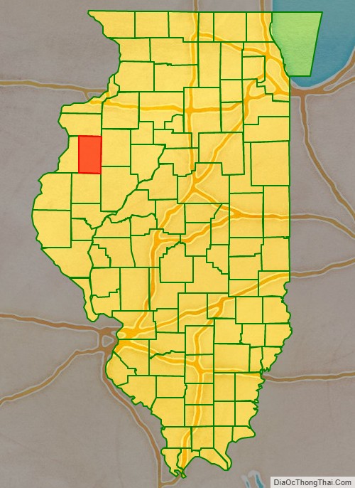
Warren County is a county in the U.S. state of Illinois. According to the 2010 census, it had a population of 17,707. Its county seat is Monmouth.
| Name: | Warren County |
|---|---|
| FIPS code: | 17-187 |
| State: | Illinois |
| Founded: | 1825 |
| Named for: | Joseph Warren |
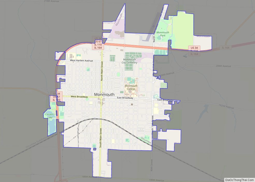
| Seat: | Monmouth |
| Largest city: | Monmouth |
| Total Area: | 543 sq mi (1,410 km²) |
| Land Area: | 542 sq mi (1,400 km²) |
| Total Population: | 17,707 |
| Population Density: | 33/sq mi (13/km²) |
| Time zone: | UTC−6 (Central) |
| Summer Time Zone (DST): | UTC−5 (CDT) |
| Website: | www.warrencountyil.com |
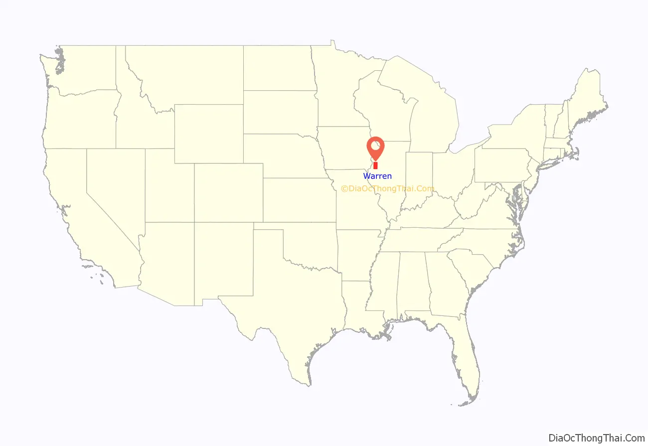
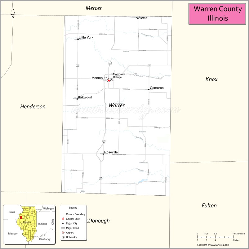
Warren County location map. Where is Warren County?
History
Warren County was organized in 1825 out of Pike County which consisted of all portions of the state north and west of the Illinois River before 1825. Henderson County was formed in 1841 from the western area of Warren County.
Warren County was named for Dr. Joseph Warren, killed at the Battle of Bunker Hill in 1775. He is believed to have been the first officer to die in the Revolutionary War.
The current courthouse, constructed of red Portage stone, was completed in 1895.
Warren County from the time of its creation to 1831
Between 1831 and 1835, Mercer County was temporarily attached to Warren until it could organize its own county government.
Warren County between 1835 and 1841
Warren County in 1841, reduced to its current borders by the creation of Henderson County
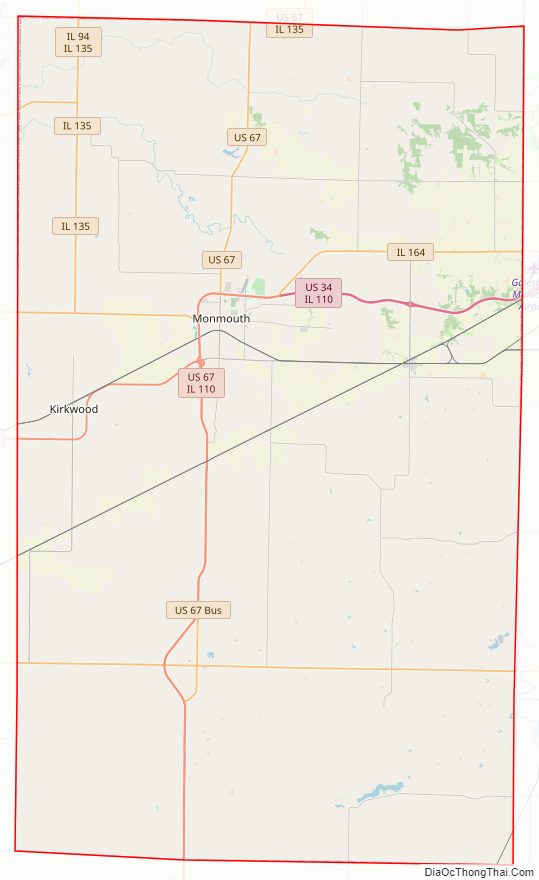
Warren County Road Map
Geography
According to the U.S. Census Bureau, the county has a total area of 543 square miles (1,410 km), of which 542 square miles (1,400 km) is land and 0.6 square miles (1.6 km) (0.1%) is water.
Climate and weather
In recent years, average temperatures in the county seat of Monmouth have ranged from a low of 15 °F (−9 °C) in January to a high of 85 °F (29 °C) in July, although a record low of −27 °F (−33 °C) was recorded in February 1905 and a record high of 110 °F (43 °C) was recorded in July 1936. Average monthly precipitation ranged from 1.62 inches (41 mm) in January to 4.33 inches (110 mm) in July.
Adjacent counties
- Mercer County (north)
- Knox County (east)
- Fulton County (southeast)
- McDonough County (south)
- Henderson County (west)
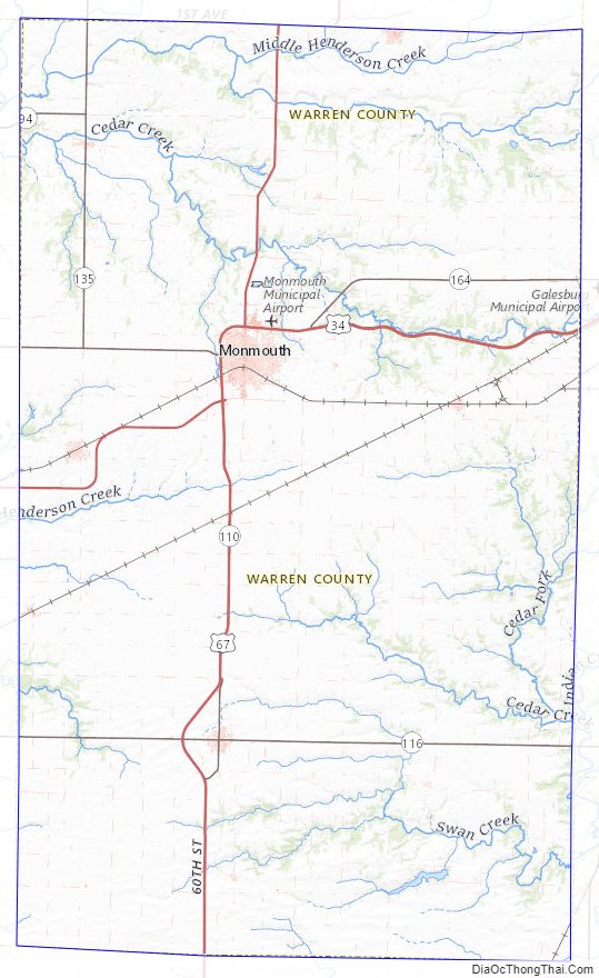
Warren County Topographic Map
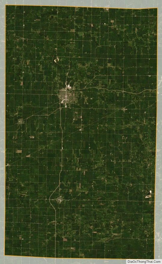
Warren County Satellite Map
Warren County Outline Map