Wasatch County (/ˈwɑːsætʃ/ WAH-satch) is a county in the U.S. state of Utah. As of the 2010 United States Census, the population was 23,530. Its county seat and largest city is Heber City. The county was named for a Ute Native American word meaning mountain pass or low place in the high mountains.
Wasatch County is part of the Heber, UT Micropolitan Statistical Area as well as the Salt Lake City–Provo–Orem, UT Combined Statistical Area.
| Name: | Wasatch County |
|---|---|
| FIPS code: | 49-051 |
| State: | Utah |
| Founded: | 1862 |
| Named for: | Ute word for mountain pass |
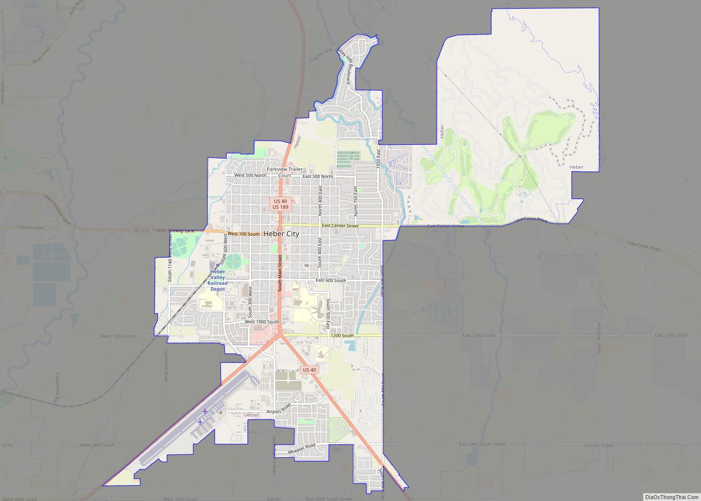
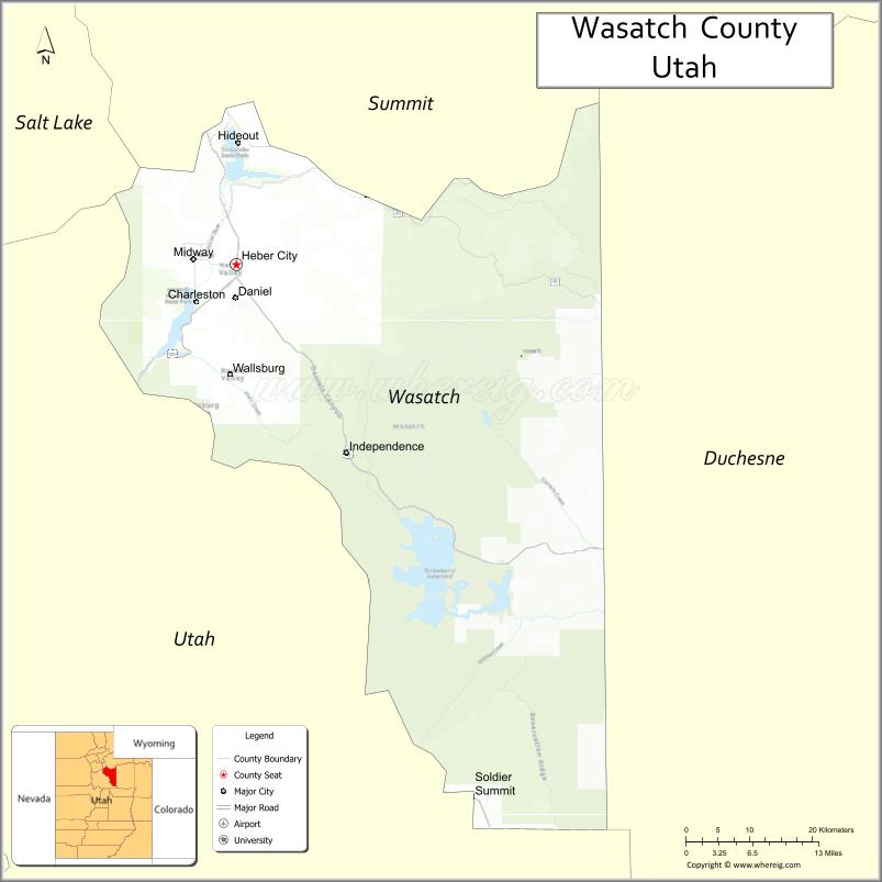
| Seat: | Heber City |
| Largest city: | Heber City |
| Total Area: | 1,206 sq mi (3,120 km²) |
| Land Area: | 1,176 sq mi (3,050 km²) |
| Total Population: | 34,788 |
| Population Density: | 29/sq mi (11/km²) |
| Time zone: | UTC−7 (Mountain) |
| Summer Time Zone (DST): | UTC−6 (MDT) |
| Website: | www.wasatch.utah.gov |
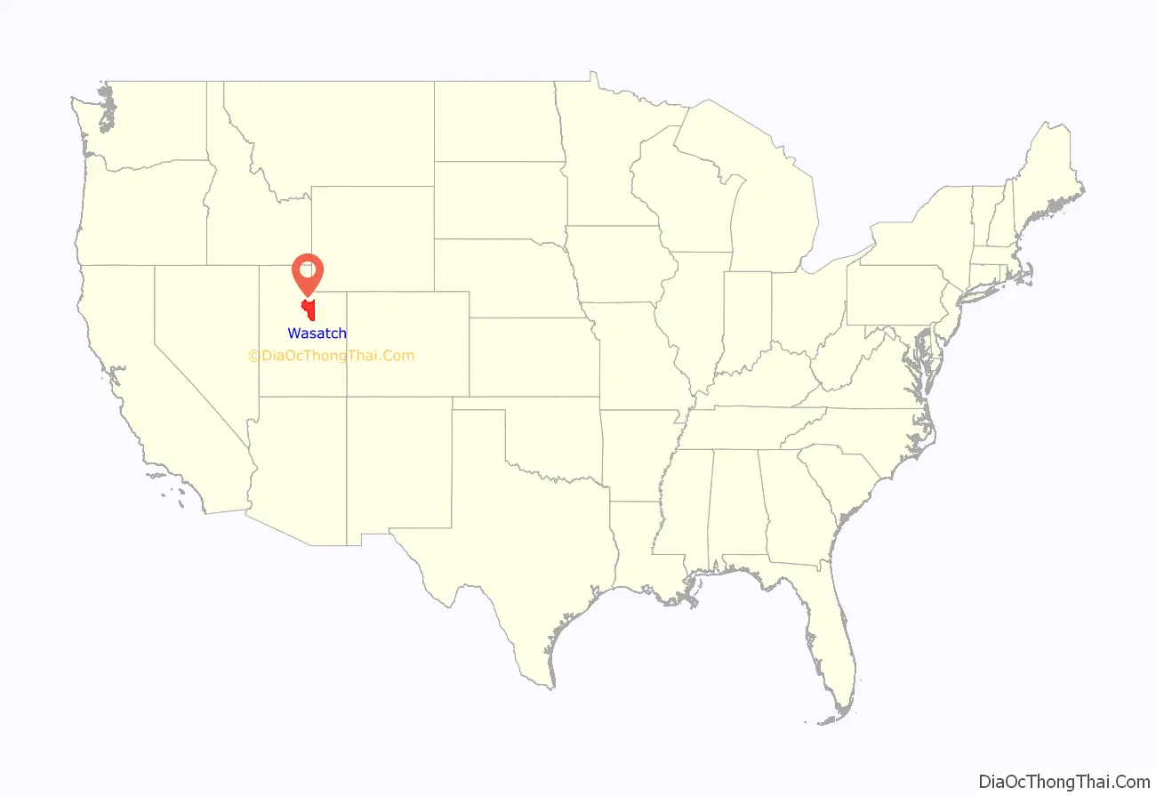
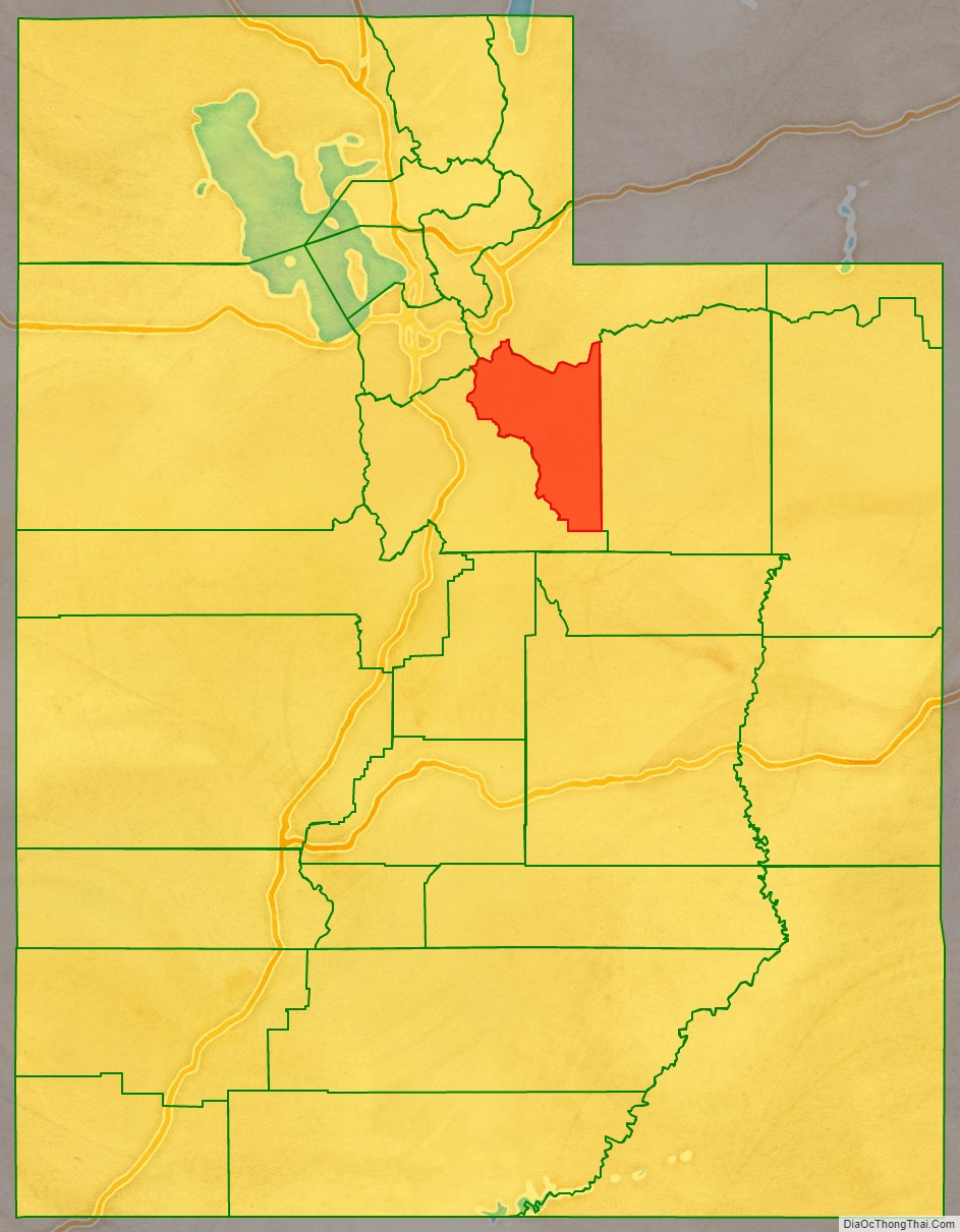
Wasatch County location map. Where is Wasatch County?
History
The first settlers were Mormon pioneers, in 1859, settling near present Heber City, Midway, and Charleston. On January 17, 1862, the Utah Territory legislature created the county, annexing areas from Great Salt Lake, Green River, Sanpete, Summit, and Utah counties. Heber was selected as the county seat. Wasatch in Ute means “mountain pass” or “low pass over high range”. Heber City was named for Mormon Apostle Heber C. Kimball. The county boundaries were altered in 1880 and 1884, and then on January 4, 1915, the eastern portion was partitioned off to become Duchesne County. The Wasatch County boundaries have remained unchanged since 1915.
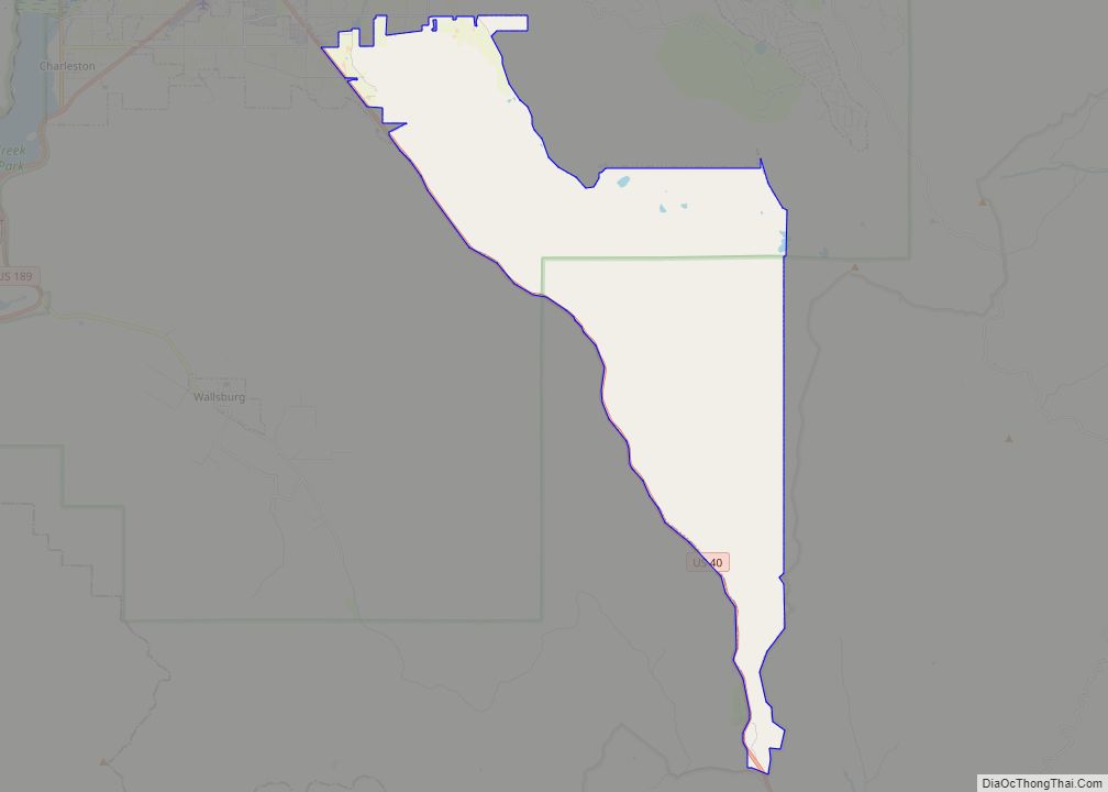
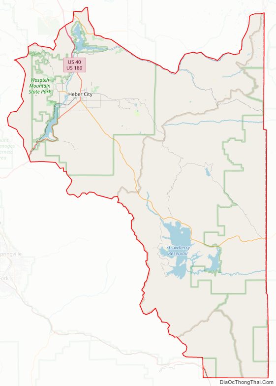
Wasatch County Road Map
Geography
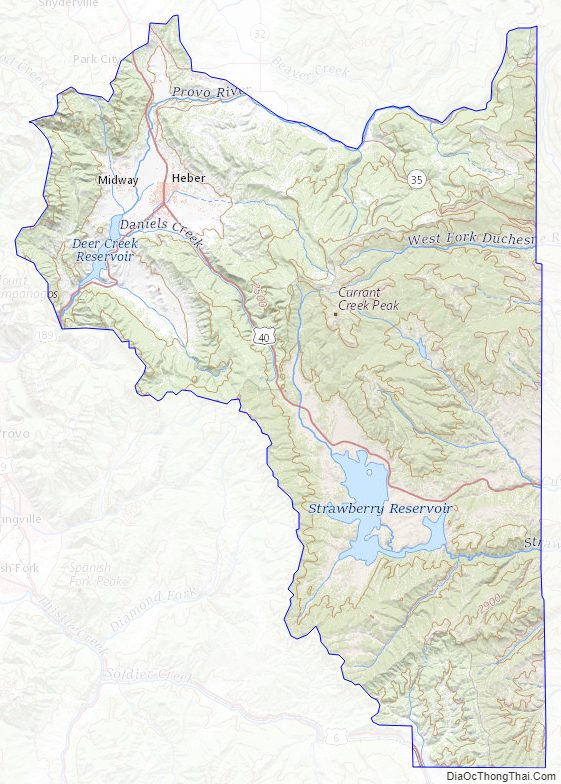
Heber Valley has a relatively cool climate since it is mountain-ringed, and over half the land is 7,500 feet (2,286 metres) above sea level. The average annual precipitation is about 16 inches (406 millimetres). The county is divided into two watersheds—the Colorado and the Great Basin drainage systems. Flowing from the East are Daniels, Lake Fork, and Center creeks. From the north and northeast is the Provo River. Flowing from the west is Snake Creek. The county’s highest point is the west slope of Murdock Mountain in the Uinta Mountains, at 10,840′ (3304m) ASL.
Wasatch County has a total area of 1,206 square miles (3,120 km), of which 1,176 square miles (3,050 km) is land and 30 square miles (78 km) (2.5%) is water.
Major highways
- U.S. Route 6
- U.S. Route 40
- U.S. Route 189
- Utah State Route 32
- Utah State Route 35
- Utah State Route 113
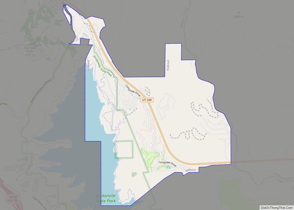
- Utah State Route 248
- Utah State Route 319
Adjacent counties
- Salt Lake County – northwest
- Summit County – north
- Duchesne County – east
- Utah County – southwest
Protected areas
- Ashley National Forest (part)
- Currant Creek Campground (USFS)
- Currant Creek Wildlife Management Area (part)
- Deer Creek State Park
- Rock Cliff Campground (Utah State Park)
- Soldier Creek Recreational Area
- Uinta National Forest (part)
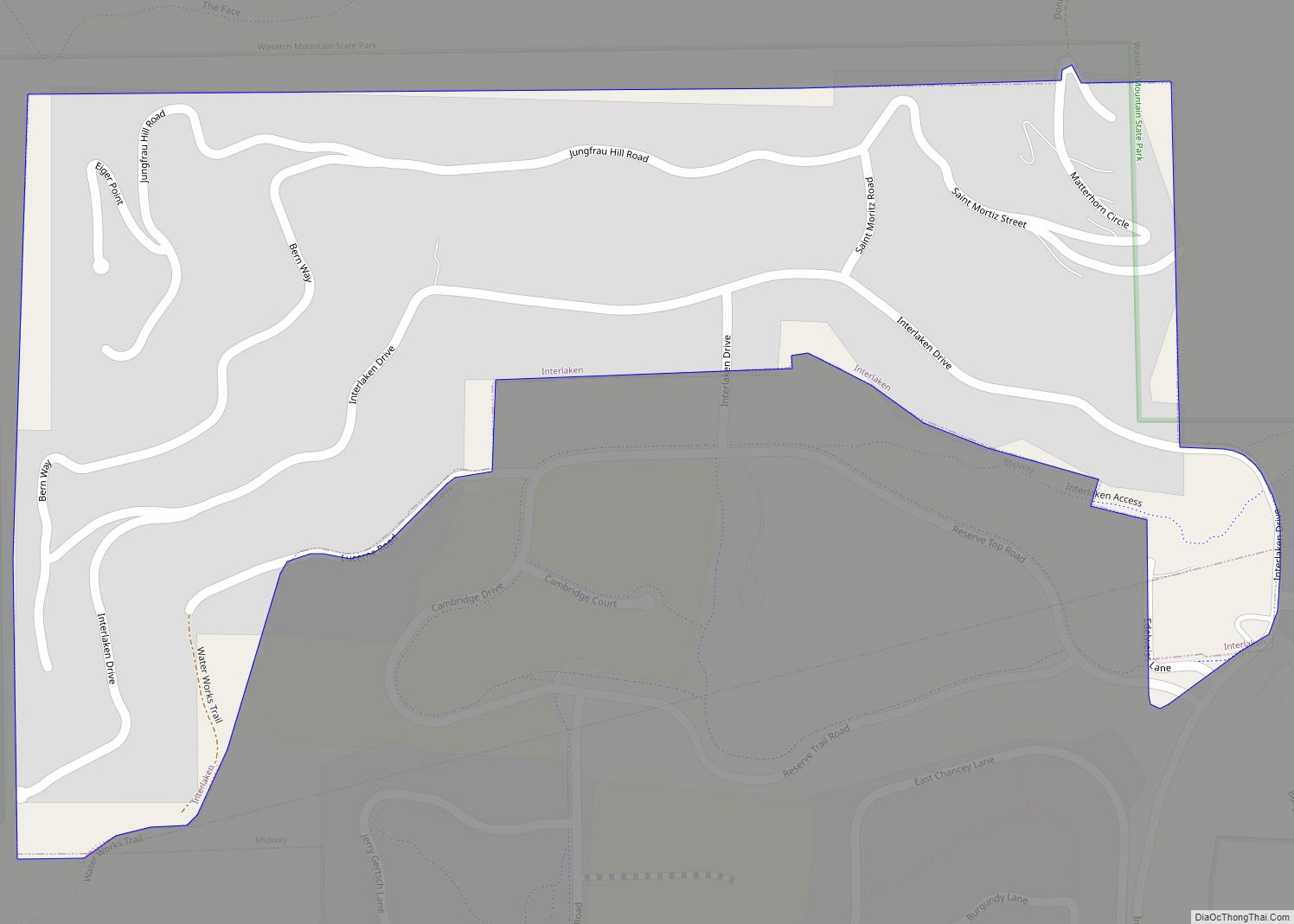
- Wasatch Mountain State Park
- Wasatch National Forest (part)
- Wildcat Mountain Wildlife Management Area
Lakes
- Currant Creek Reservoir
- Deer Creek Reservoir
- Jordanelle Reservoir
- Strawberry Reservoir
- Witts Lake
Wasatch County Topographic Map
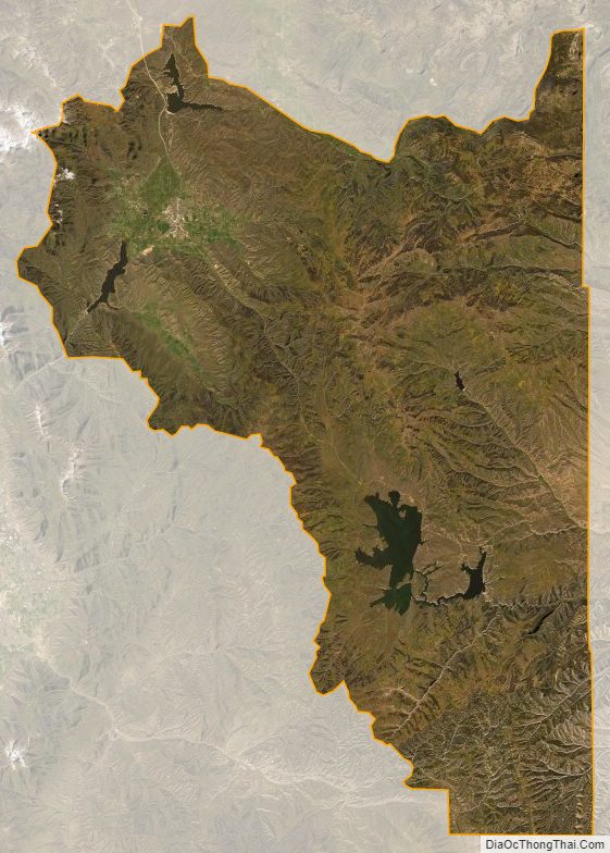
Wasatch County Satellite Map
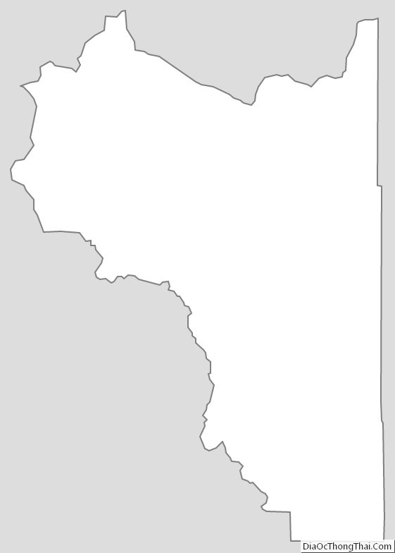
Wasatch County Outline Map