Washington County is a county located in the U.S. state of Georgia. As of the 2020 census, the population was 19,988. The county seat is Sandersville. The county was established on February 25, 1784. It was named for Revolutionary War general (and afterward President of the United States) George Washington.
| Name: | Washington County |
|---|---|
| FIPS code: | 13-303 |
| State: | Georgia |
| Founded: | 1784 |
| Named for: | George Washington |
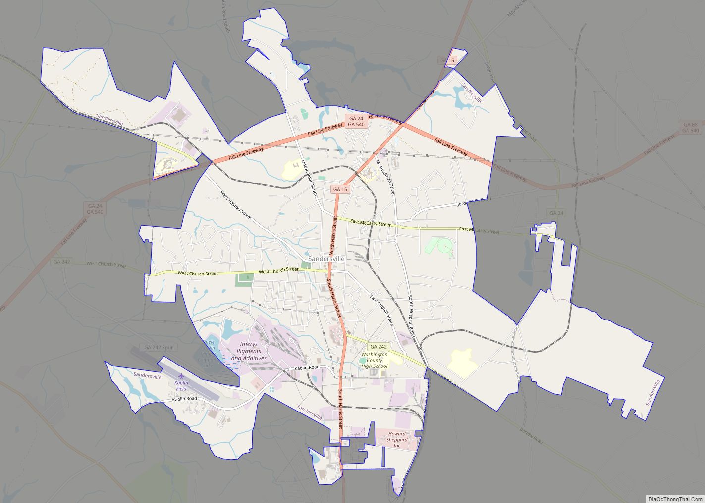
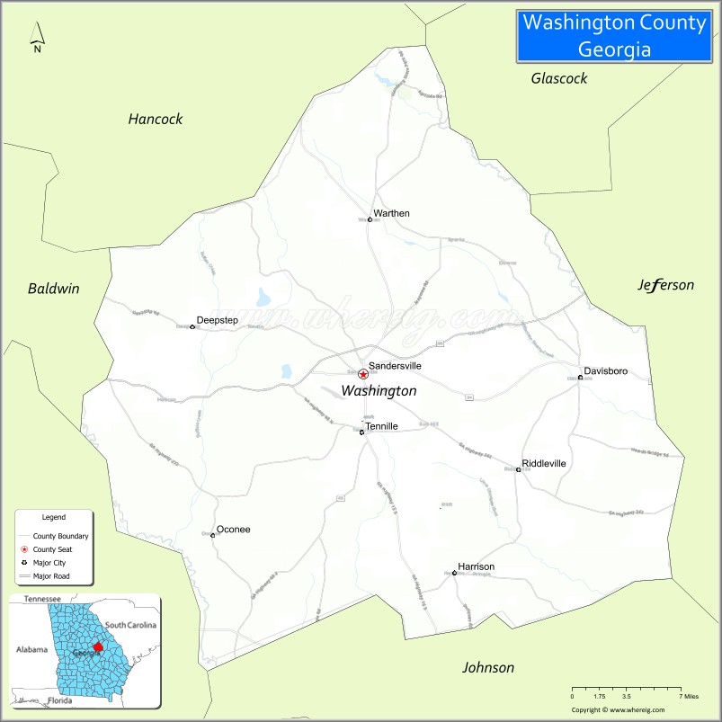
| Seat: | Sandersville |
| Largest city: | Sandersville |
| Total Area: | 684 sq mi (1,770 km²) |
| Land Area: | 678 sq mi (1,760 km²) |
| Total Population: | 19,988 |
| Time zone: | UTC−5 (Eastern) |
| Summer Time Zone (DST): | UTC−4 (EDT) |
| Website: | washingtoncountyga.gov |
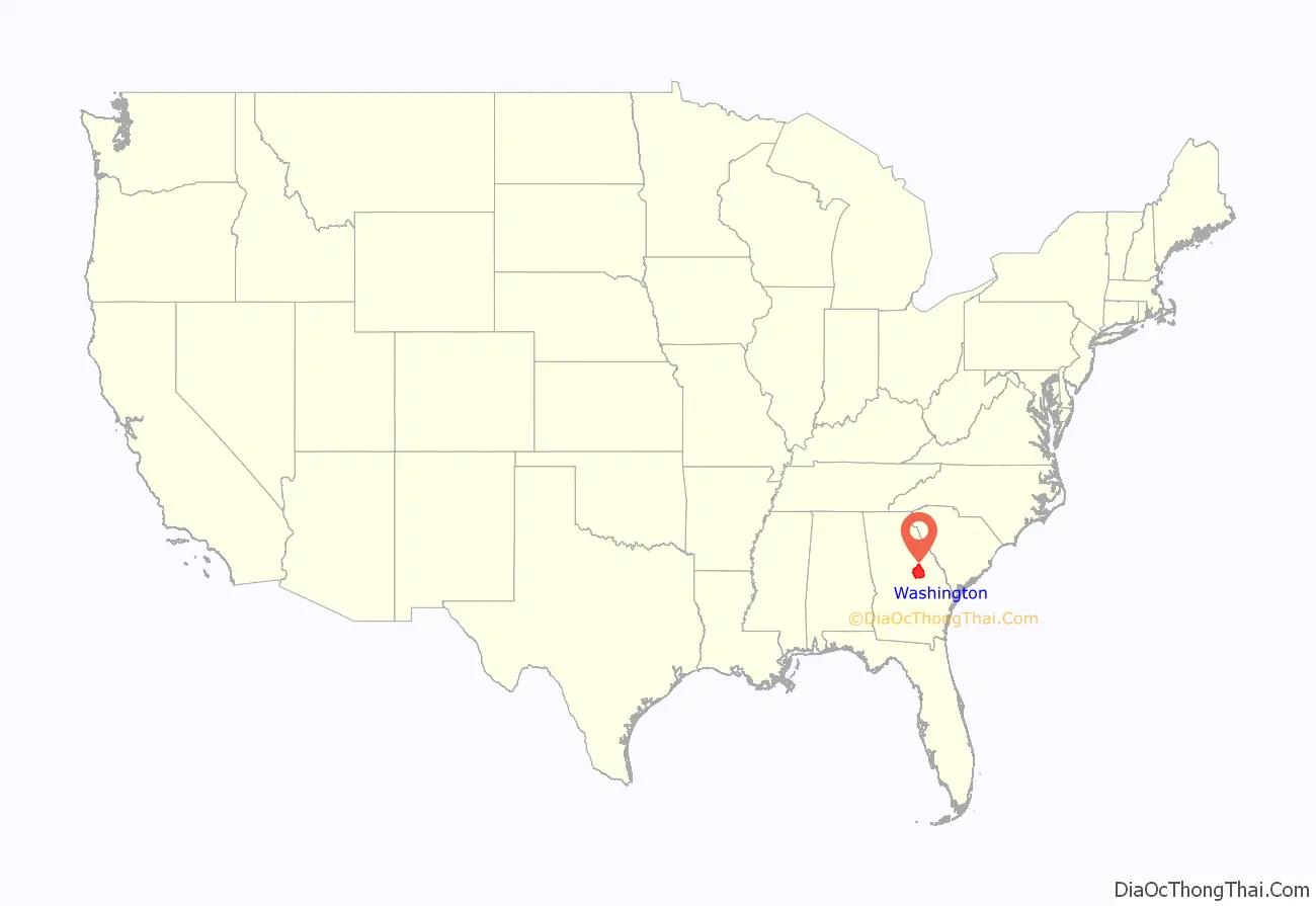
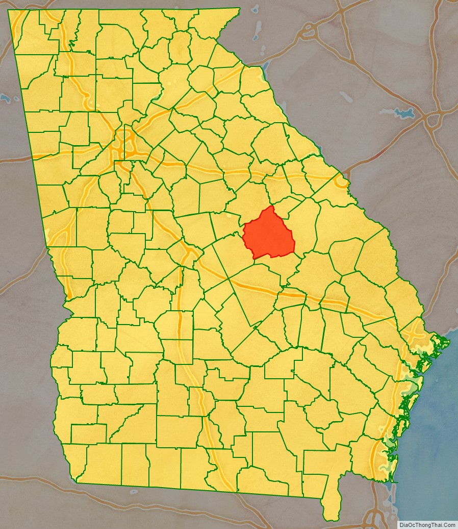
Washington County location map. Where is Washington County?
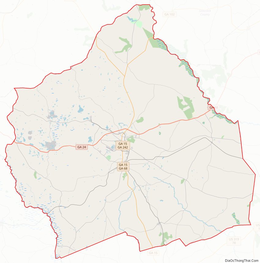
Washington County Road Map
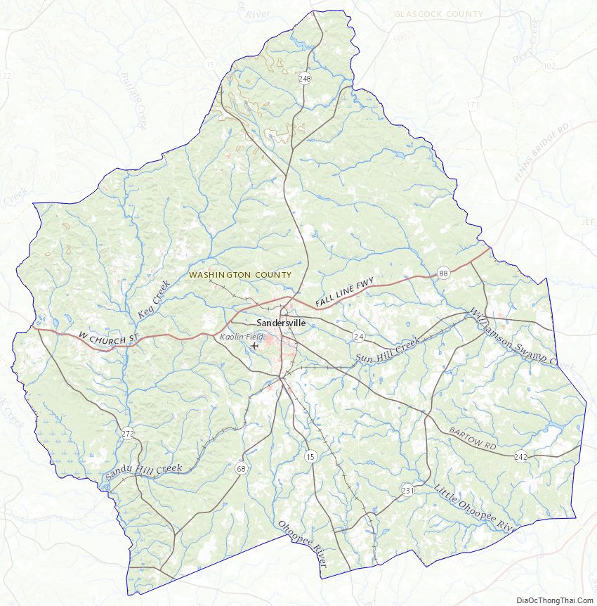
Geography
According to the U.S. Census Bureau, the county has a total area of 684 square miles (1,770 km), of which 678 square miles (1,760 km) is land and 5.9 square miles (15 km) (0.9%) is water.
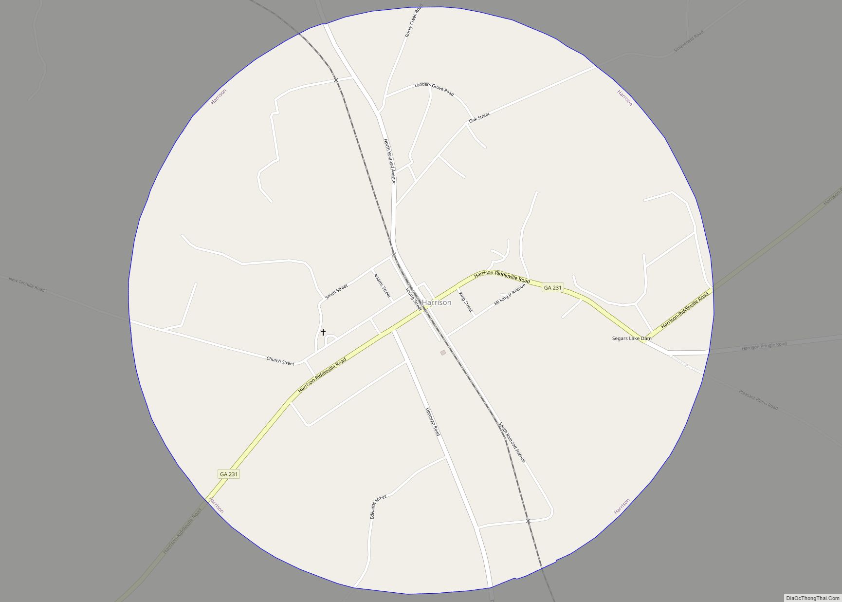
The western portion of Washington County, west of a north-to-south line running through Sandersville, is located in the Lower Oconee River sub-basin of the Altamaha River basin. The northeastern portion of the county, north of Riddleville, is located in the Upper Ogeechee River sub-basin of the Ogeechee River basin, while the southeastern portion, centered on Harrison, is located in the Ohoopee River sub-basin of the Altamaha River basin.
Major highways
- State Route 15
- State Route 24
- State Route 24 Spur
- State Route 57
- State Route 68
- State Route 88
- State Route 102
- State Route 231
- State Route 242
- State Route 272
- State Route 540 (Fall Line Freeway)
Adjacent counties
- Glascock County (northeast)
- Jefferson County (east)
- Johnson County (south)
- Wilkinson County (southwest)
- Baldwin County (west)
- Hancock County (northwest)
Washington County Topographic Map
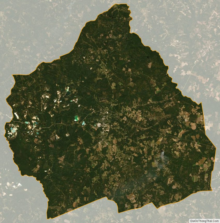
Washington County Satellite Map
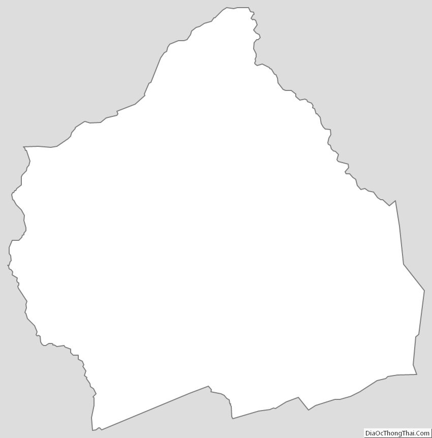
Washington County Outline Map