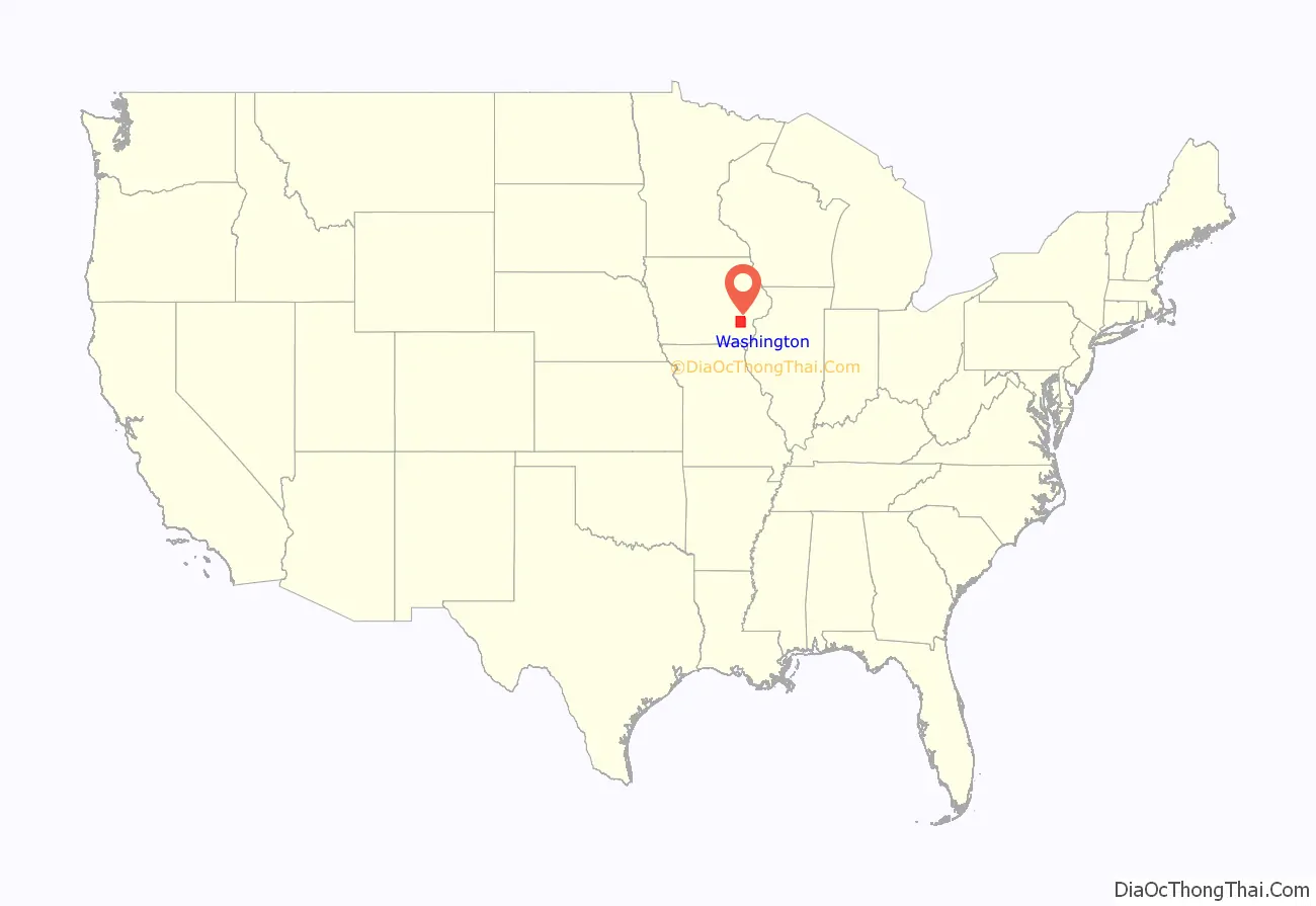
Washington County is a county located in the U.S. state of Iowa. As of the 2020 census, the population was 22,565. The county seat is Washington.
Washington County is included in the Iowa City Metropolitan Statistical Area.
| Name: | Washington County |
|---|---|
| FIPS code: | 19-183 |
| State: | Iowa |
| Founded: | January 18, 1838 |
| Named for: | George Washington |
| Seat: | Washington |
| Largest city: | Washington |
| Total Area: | 571 sq mi (1,480 km²) |
| Land Area: | 569 sq mi (1,470 km²) |
| Total Population: | 22,565 |
| Population Density: | 40/sq mi (15/km²) |
| Time zone: | UTC−6 (Central) |
| Summer Time Zone (DST): | UTC−5 (CDT) |
| Website: | washingtoncounty.iowa.gov |
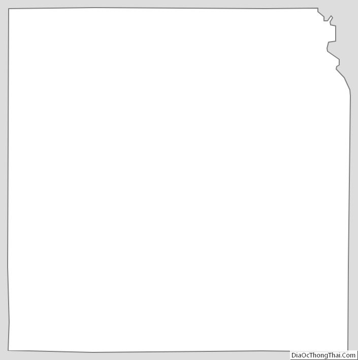
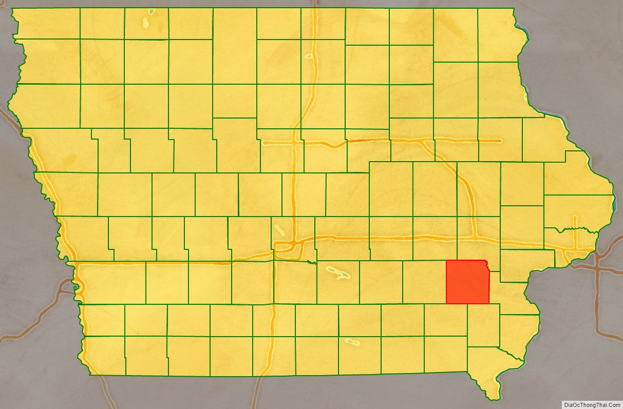
Washington County location map. Where is Washington County?
History
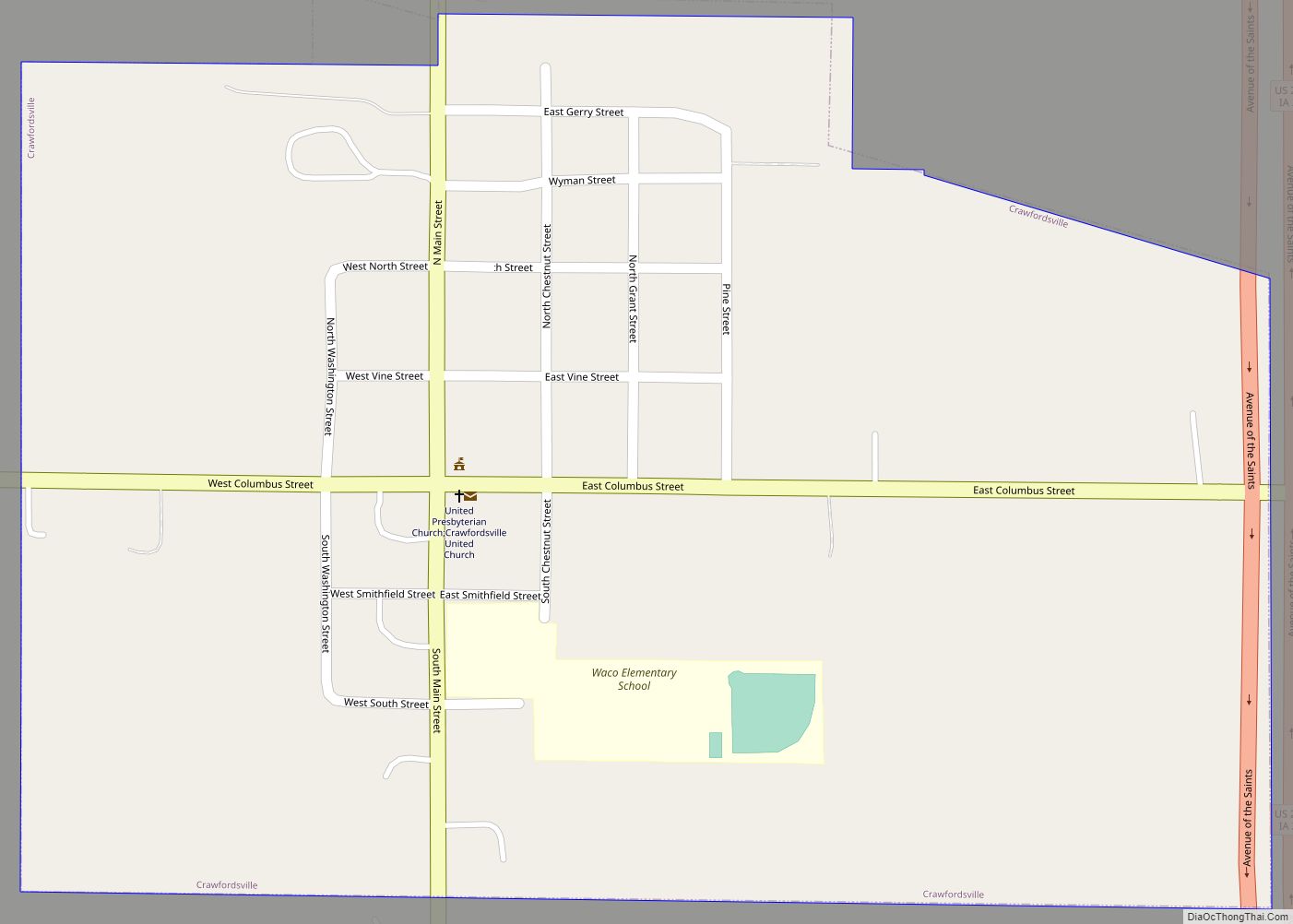
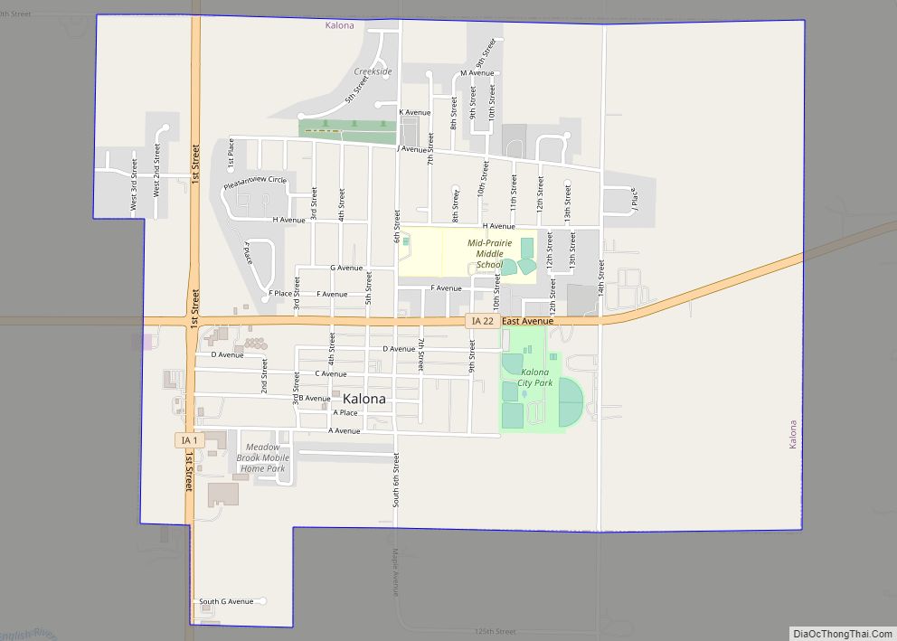
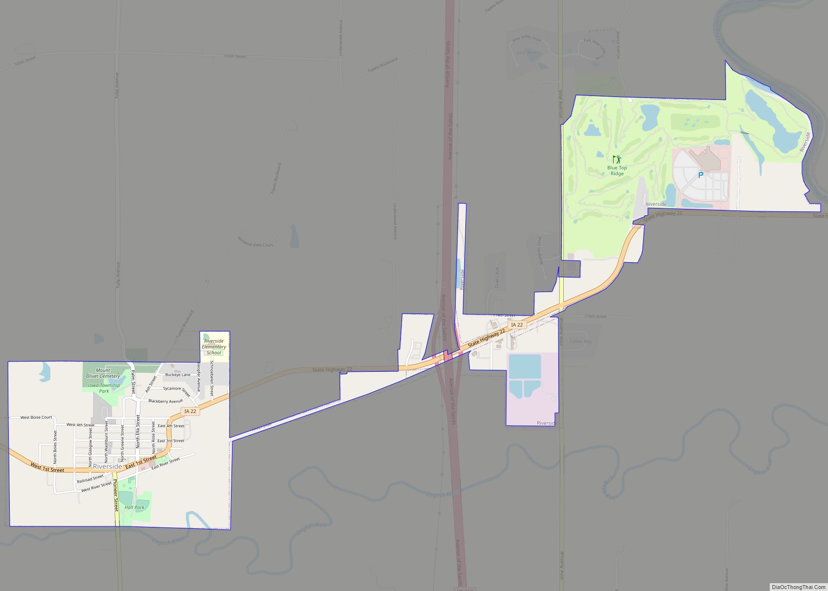
Washington County was originally formed in 1838 as Slaughter County in honor of William B. Slaughter, the secretary of Wisconsin Territory. The county, still named Slaughter County, became part of Iowa Territory on July 4, 1838, when it was organized. To honor George Washington, the county opted to change its name on January 25, 1839. The first settlers arrived in Washington County in 1835. The homesteads did not start until 1836. A town, Astoria, was built in the present township of Oregon; it became the first county seat and housed the first court house. The county seat was moved to the city of Washington in 1839.
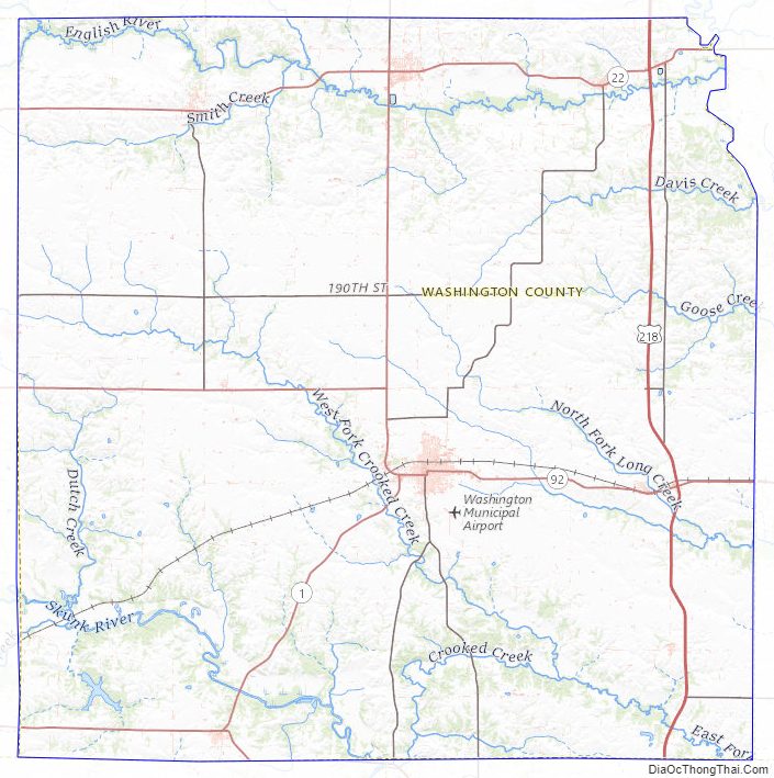
The first religious society, organized by Reverend J.L. Kirkpatrick, a Methodist minister was created in 1839. The first newspaper was established in 1853; it was published for two years. In 1856 another newspaper started up; it has continued to the present. The major waterways through Washington County are the Skunk and English Rivers, and Crooked Creek. Timber is found in abundance around these waterways, which has allowed a timber industry to grow up. In 1855 Washington hosted the county’s first bank. The county population swelled after 1858, when a railway line belonging to the Mississippi and Missouri Railroad was laid there.
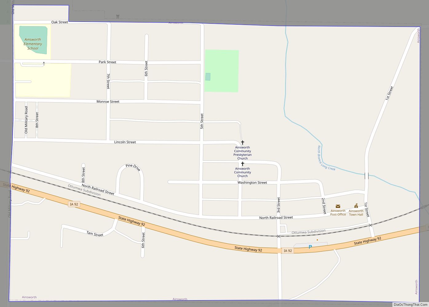
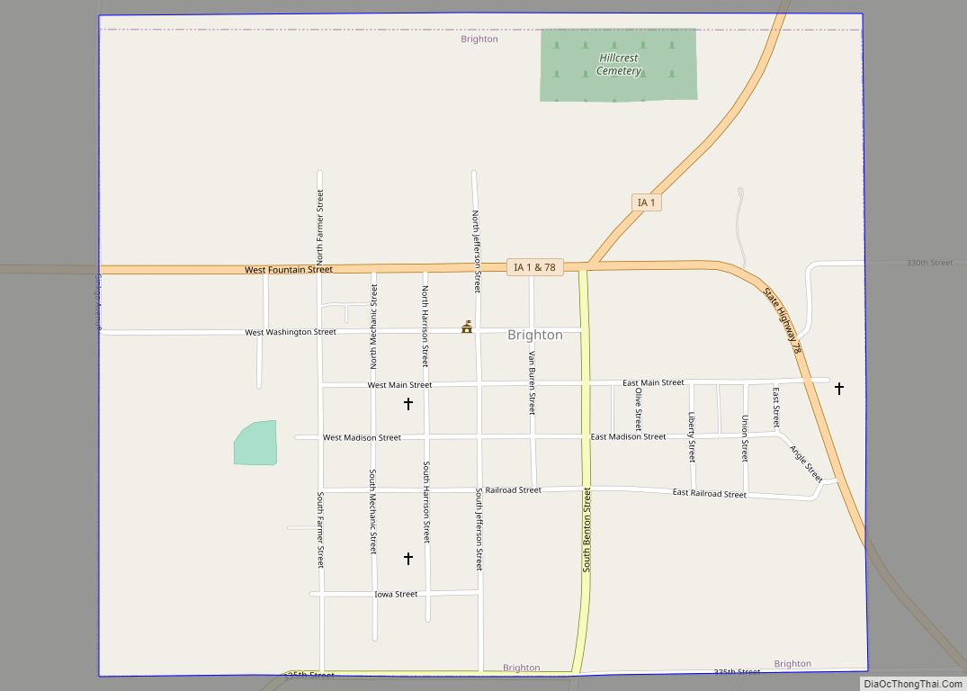
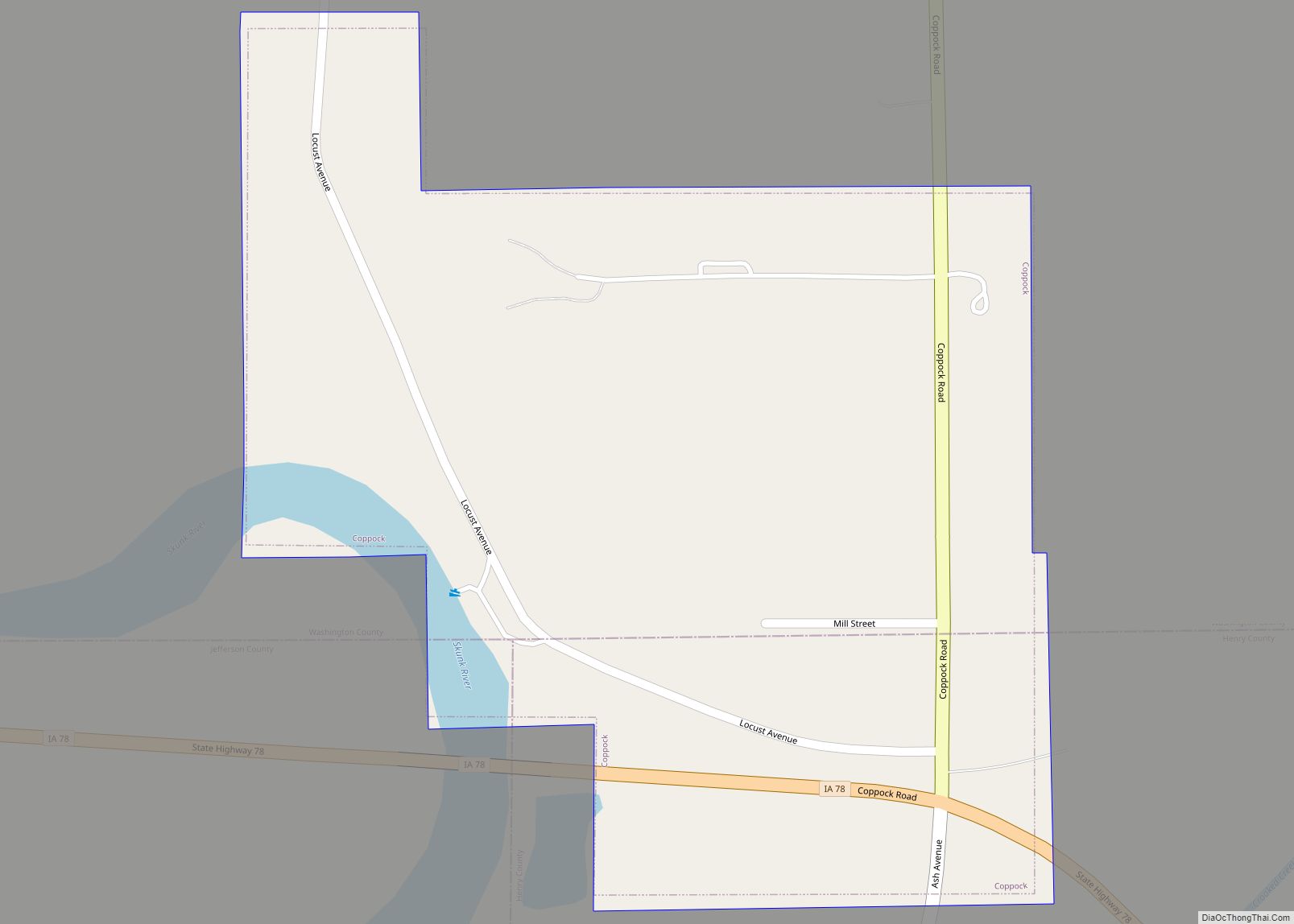
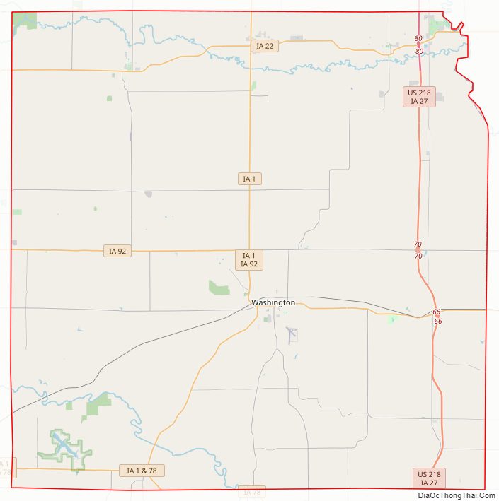
Washington County Road Map
Geography
According to the U.S. Census Bureau, the county has a total area of 571 square miles (1,480 km), of which 569 square miles (1,470 km) is land and 2.1 square miles (5.4 km) (0.4%) is water.
Major highways
- U.S. Highway 218
- Iowa Highway 1
- Iowa Highway 22
- Iowa Highway 27
- Iowa Highway 78
- Iowa Highway 92
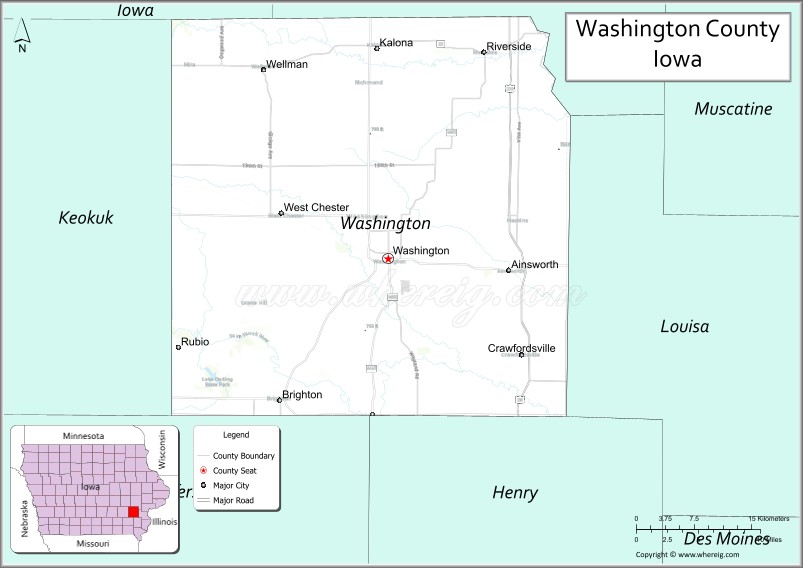
Adjacent counties
- Iowa County (northwest)
- Johnson County (northeast)
- Louisa County (east)
- Henry County (southeast)
- Jefferson County (southwest)
- Keokuk County (west)
Washington County Topographic Map
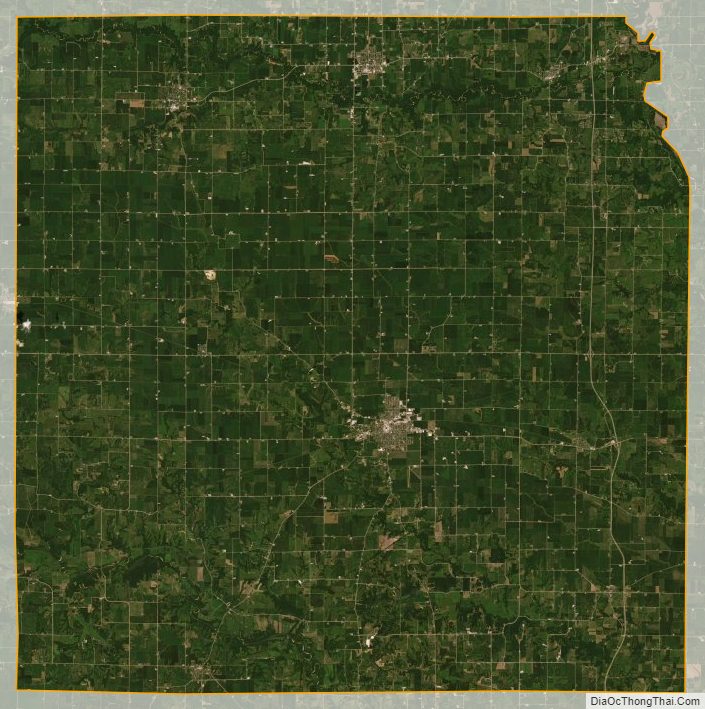
Washington County Satellite Map
Washington County Outline Map