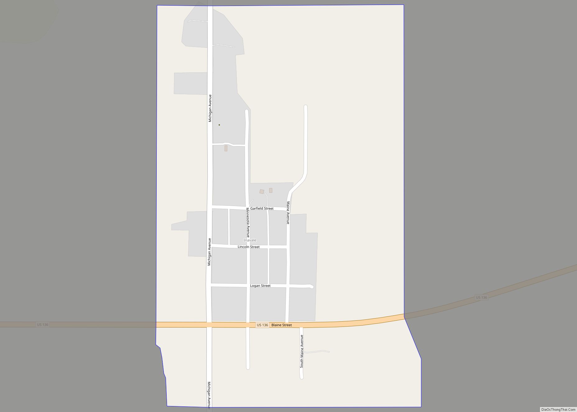
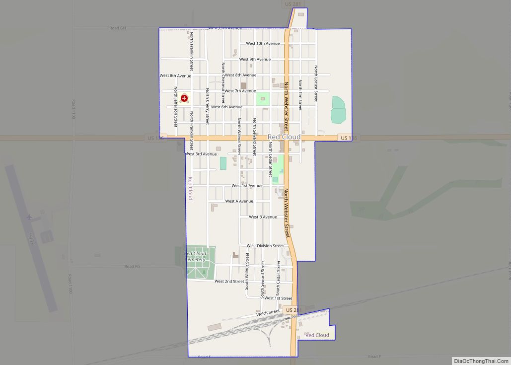
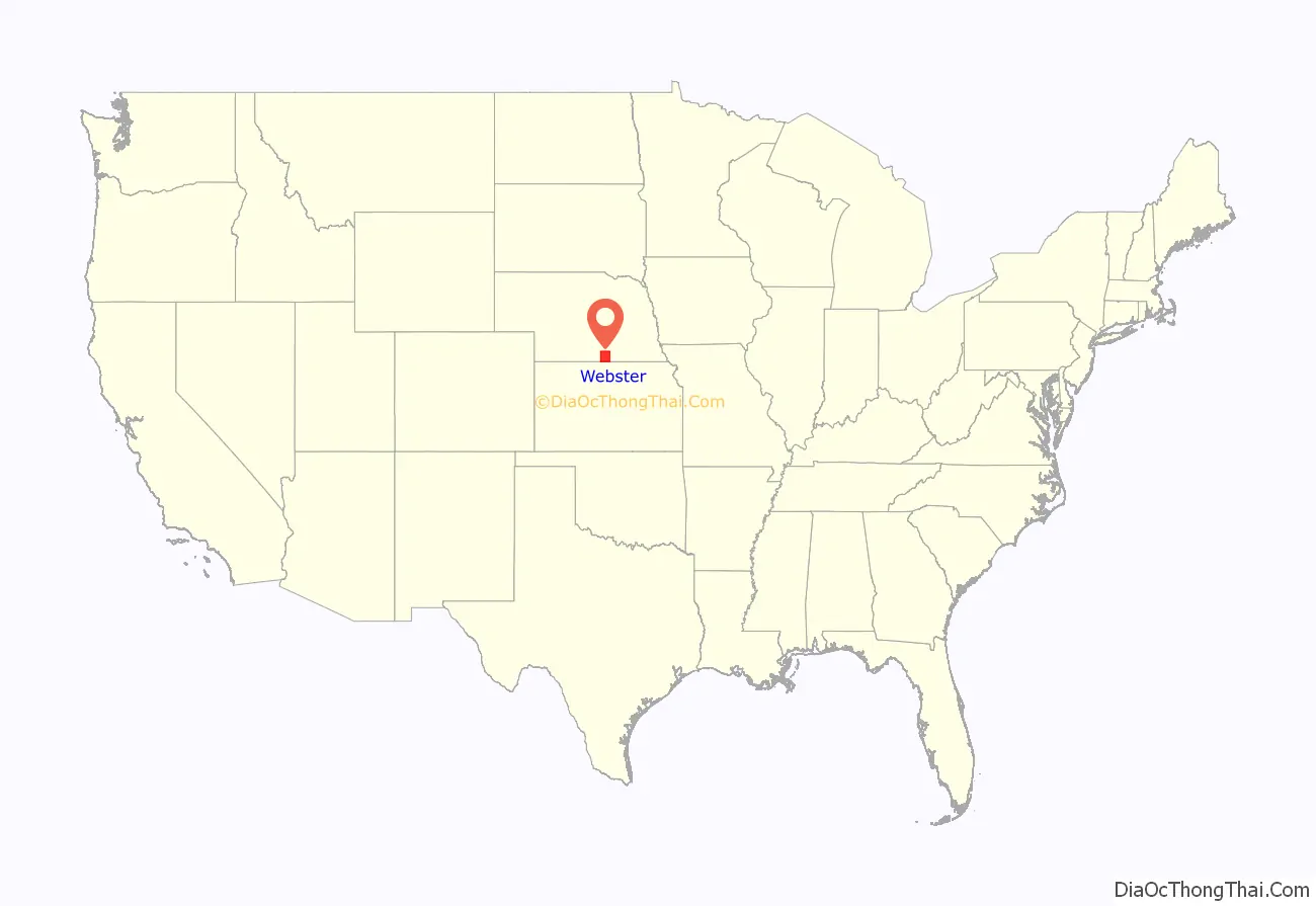
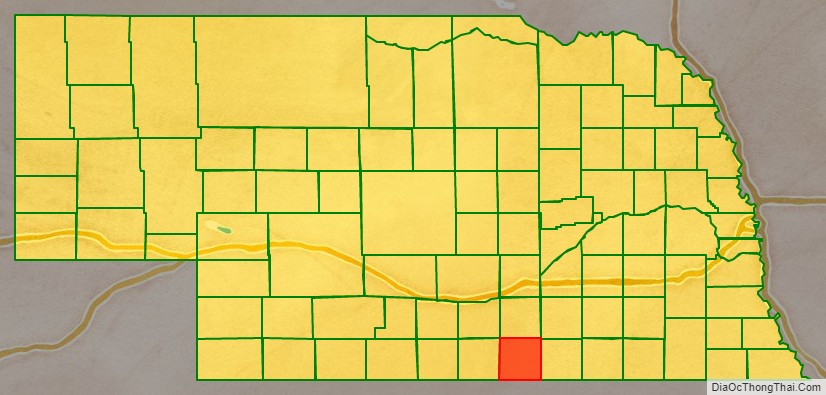
Webster County is a county in the U.S. state of Nebraska. As of the 2020 United States Census, the population was 3,411. Its county seat is Red Cloud. The county was formed in 1871, and was named for Daniel Webster.
In the Nebraska license plate system, Webster County is represented by the prefix 45 (it had the forty-fifth-largest number of vehicles registered in the county when the license plate system was established in 1922).
| Name: | Webster County |
|---|---|
| FIPS code: | 31-181 |
| State: | Nebraska |
| Founded: | 1871 |
| Named for: | Daniel Webster |
| Seat: | Red Cloud |
| Largest city: | Red Cloud |
| Total Area: | 575 sq mi (1,490 km²) |
| Land Area: | 575 sq mi (1,490 km²) |
| Total Population: | 3,411 |
| Population Density: | 6.1/sq mi (2.4/km²) |
| Time zone: | UTC−6 (Central) |
| Summer Time Zone (DST): | UTC−5 (CDT) |
| Website: | www.co.webster.ne.us |
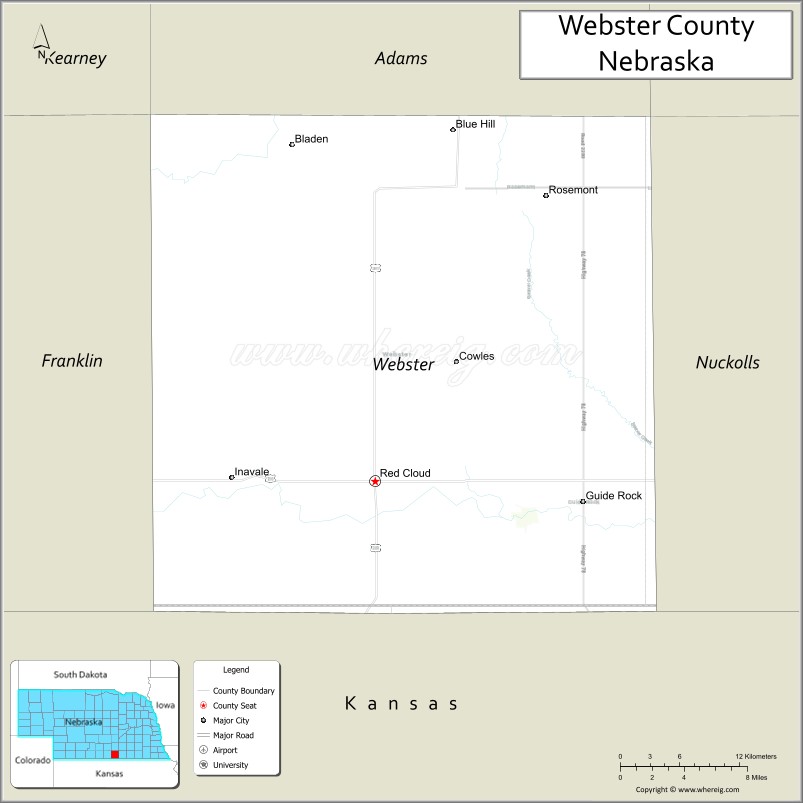
Webster County location map. Where is Webster County?
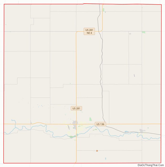
Webster County Road Map
Geography
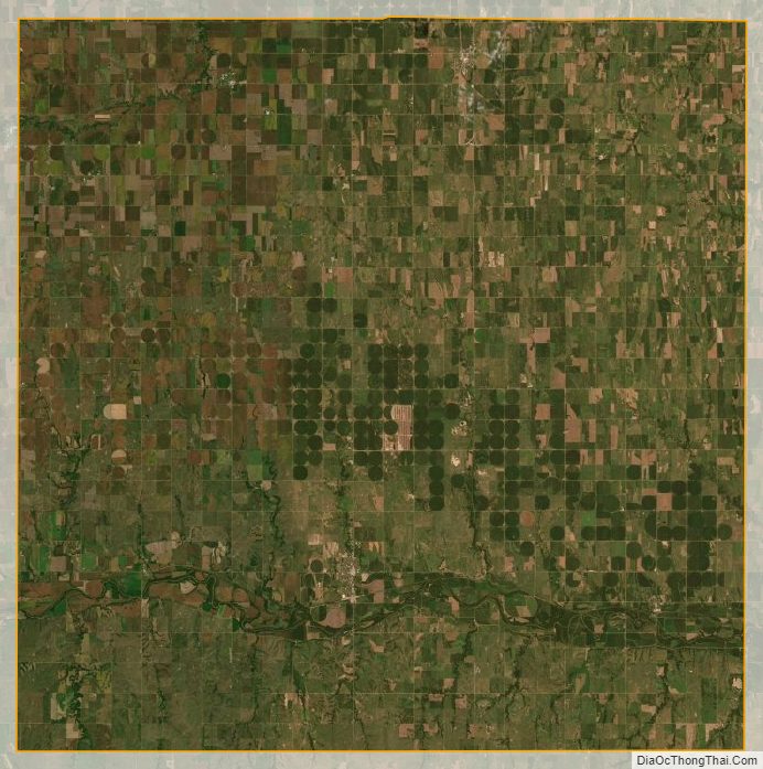
Webster County lies along the south line of Nebraska. Its south boundary line abuts the north boundary line of the state of Kansas. The terrain of Webster County consists of low rolling hills, sloping to the east. The more planar areas of the county are used for agriculture, mostly under center pivot irrigation.
The Republican River flows eastward across the lower part of the county. The county has an area of 575 square miles (1,490 km), of which 575 square miles (1,490 km) is land and 0.1 square miles (0.26 km) (0.02%) is water.
Major highways
- U.S. Highway 136
- U.S. Highway 281
- Nebraska Highway 4
- Nebraska Highway 78
Adjacent counties
- Adams County – north
- Clay County – northeast
- Nuckolls County – east
- Jewell County, Kansas – southeast
- Smith County, Kansas – southwest
- Franklin County – west
- Kearney County – northwest
Protected areas
- Indian Creek State Wildlife Management Area
- Liberty Cove Recreation Area
Webster County Topographic Map
Webster County Satellite Map
Webster County Outline Map