| Name: | West Feliciana Parish |
|---|---|
| FIPS code: | 22-125 |
| State: | Louisiana |
| Founded: | 1824 |
| Named for: | Marie Félicité de Gálvez |
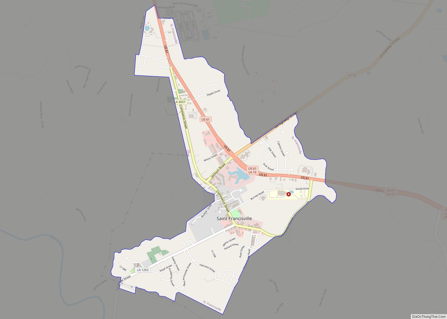
| Seat: | St. Francisville |
| Largest town: | St. Francisville |
| Total Area: | 426 sq mi (1,100 km²) |
| Land Area: | 403 sq mi (1,040 km²) |
| Total Population: | 15,310 |
| Population Density: | 36/sq mi (14/km²) |
| Time zone: | UTC−6 (Central) |
| Summer Time Zone (DST): | UTC−5 (CDT) |
| Website: | wfparish.org |
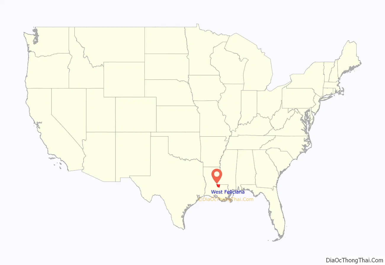
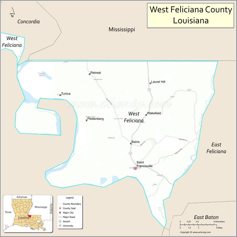
West Feliciana Parish location map. Where is West Feliciana Parish?
History
18th and 19th centuries
Following the founding of the Bayou Sara settlement by French Franciscan/Capuchin monks in the late 17th century, the area was explored further by France, Spain, and Great Britain. The original settlement was flooded repeatedly and finally lost to the waters of the Mississippi River.
After 1763, when France was defeated by Britain in the Seven Years’ War, it ceded its territories of La Louisiane east of the Mississippi River to Great Britain, which included it in its West Florida province. Spain gained control of the area in about 1780 – during the American Revolutionary War – and maintained its authority in the area for the next three decades.
In 1810, the colonists, many of whom were of British descent, rebelled against the Spanish colonial regime and established the short-lived independent Republic of West Florida. Within a few months, the United States declared the area to be part of the territory included in the Louisiana Purchase of 1803. (Today this region is called the Florida Parishes).
Feliciana Parish was established in 1810, in the Territory of Orleans, which was admitted to the Union two years later as the state of Louisiana. With continued growth of population, in 1824 Feliciana Parish was divided into the East Feliciana and West Feliciana parishes.
During the American Civil War, West Feliciana Parish provided financial assistance to the families of soldiers fighting for the Confederate States of America. Wives and children of soldiers were to receive from $10 to $40 per month, depending on family size.
West Feliciana and national politics
Since before the Civil War, white conservative voters in West Feliciana historically supported the Democratic Party. After Louisiana effectively disenfranchised most black voters under provisions of its 1898 constitution, the state joined others in the South as being a one-party state. The white-dominated legislature passed increasingly stringent Jim Crow and segregation legislation.
But after passage of Federal civil rights legislation in the mid-1960s, including protection of constitutional voting rights, many white conservatives in the South began to shift to the Republican Party, at least in terms of supporting Presidential candidates. In 1972, the year of Richard Nixon’s re-election as President, after widespread anti-war protests and other cultural changes, West Feliciana was the only Louisiana parish to support the Democratic ticket of George McGovern and Sargent Shriver. During the same period, most African Americans in the South began to support the national Democratic Party, which had helped their drive for civil rights.
Since 2000, voters in the parish have supported the Republican Party candidates in Presidential elections. That year Bush-Cheney polled 2,512 votes (55 percent), compared to 2,187 (45 percent) for Democrats Al Gore and Joe Lieberman. West Feliciana voters helped to re-elect George W. Bush and Dick Cheney in 2004, with 2,932 (56 percent) to 2,214 (42 percent) over Democratic candidates John Kerry and John Edwards. Republicans John McCain and Sarah Palin won the parish in 2008, but they lost the Presidential/Vice-Presidential contest to Democrats Barack Obama and Joe Biden.
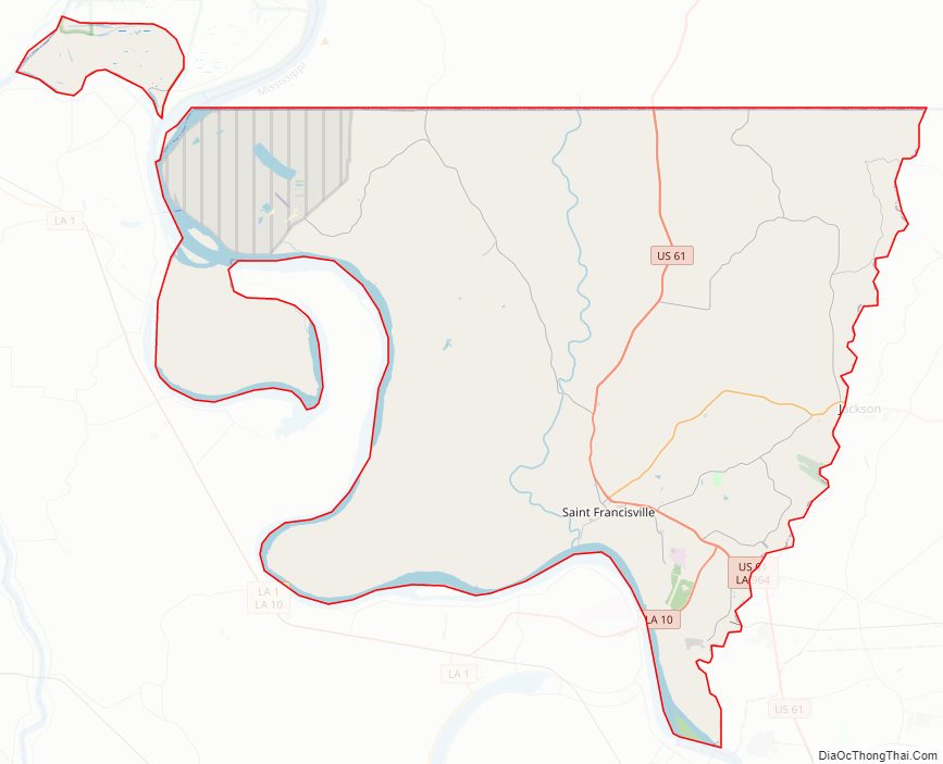
West Feliciana Parish Road Map
Geography
According to the U.S. Census Bureau, the parish has a total area of 426 square miles (1,100 km), of which 403 square miles (1,040 km) is land and 23 square miles (60 km) (5.3%) is water.
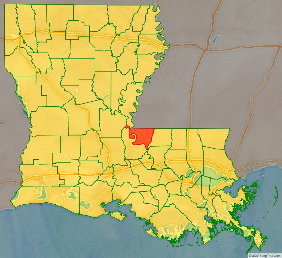
The parish is located on the Mississippi River, and is bordered by Pointe Coupee Parish to the west and East Feliciana Parish to the east. The parish is about 30 miles (48 km) north of Baton Rouge and about 60 miles (97 km) south of Natchez, Mississippi.
The area—including references to the loess soil and Louisiana State Penitentiary—was used by author Walker Percy as the setting for his last novel, The Thanatos Syndrome.
Major highways
- U.S. Highway 61
- Louisiana Highway 10
- Louisiana Highway 66
Adjacent parishes and counties
- Wilkinson County, Mississippi (north)
- East Feliciana Parish (east)
- East Baton Rouge Parish (south)
- West Baton Rouge Parish (south)
- Pointe Coupee Parish (southwest)
- Avoyelles Parish (northwest)
- Concordia Parish (northwest)
National protected area
- Cat Island National Wildlife Refuge
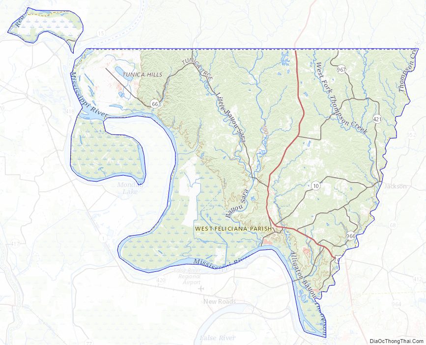
West Feliciana Parish Topographic Map
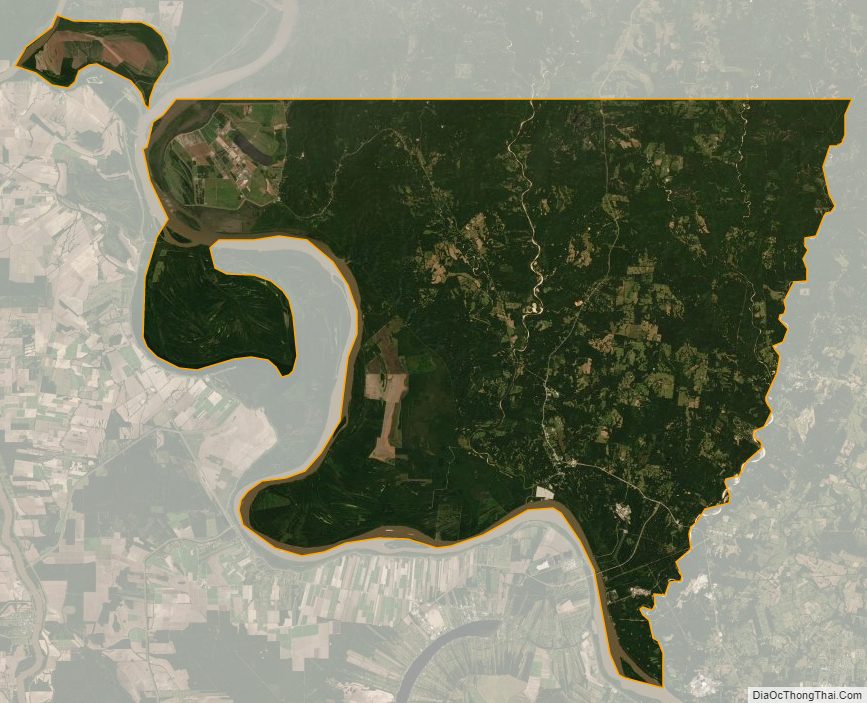
West Feliciana Parish Satellite Map
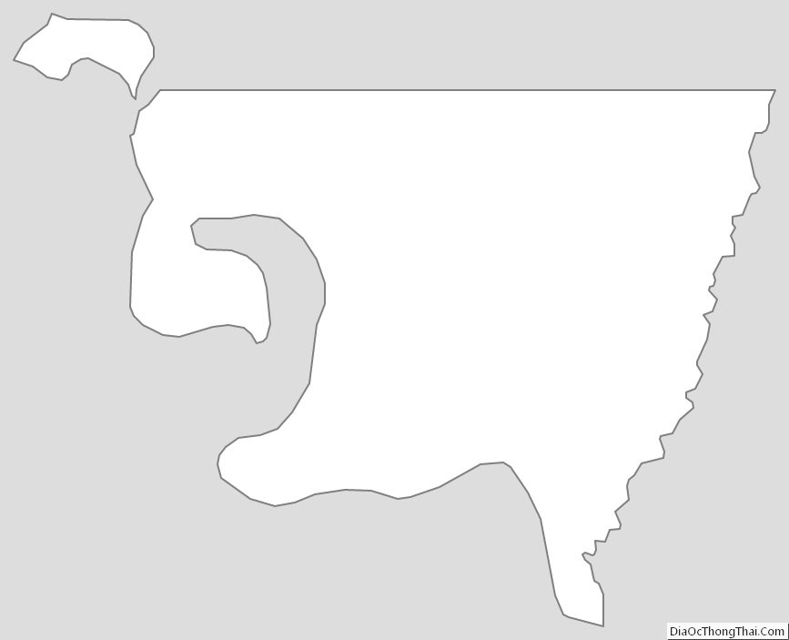
West Feliciana Parish Outline Map