Wibaux County (/ˈwiːboʊ/ WEE-boh) is a county in the U.S. state of Montana. As of the 2020 census, the population was 937, making it the fourth-least populous county in Montana. Its county seat is Wibaux.
| Name: | Wibaux County |
|---|---|
| FIPS code: | 30-109 |
| State: | Montana |
| Founded: | August 17, 1914 |
| Seat: | Wibaux |
| Largest town: | Wibaux |
| Total Area: | 890 sq mi (2,300 km²) |
| Land Area: | 889 sq mi (2,300 km²) |
| Total Population: | 937 |
| Population Density: | 1.1/sq mi (0.41/km²) |
| Time zone: | UTC−7 (Mountain) |
| Summer Time Zone (DST): | UTC−6 (MDT) |
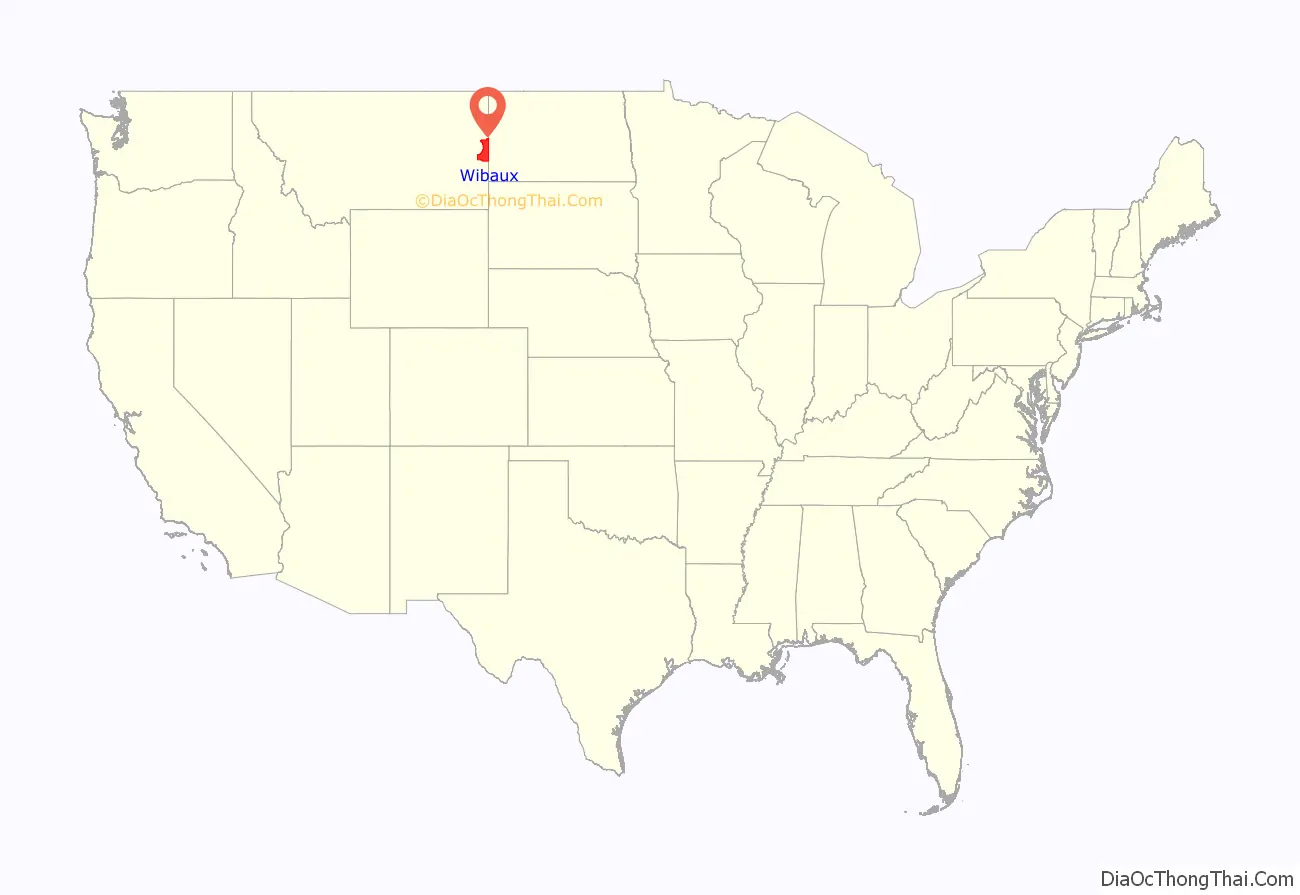
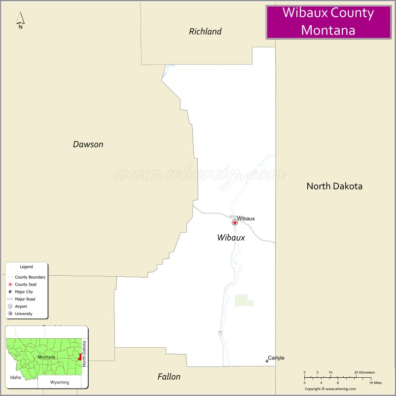
Wibaux County location map. Where is Wibaux County?
History
Wibaux County was created by the Montana Legislature in 1914 from parts of Dawson, Fallon, and Richland Counties. The name comes from Pierre Wibaux (1858–1913), a late 19th-century cattle baron and friend of Theodore Roosevelt whose ranch was just over the border (in Dakota Territory, later North Dakota). According to legend, Pierre Wibaux’s cowboys surrounded the town of Mingusville, and wouldn’t let anyone enter or leave town unless they signed a petition changing the name of the town to Wibaux. Upon his death, his ashes were spread over a hill west of Wibaux. Today, a statue of Pierre Wibaux stands on that hill.
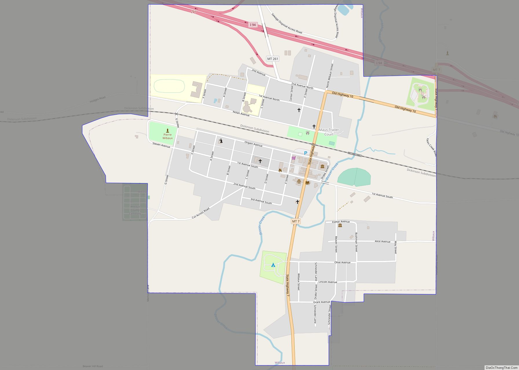
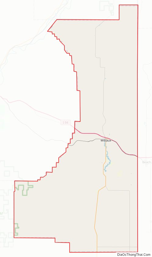
Wibaux County Road Map
Geography
According to the United States Census Bureau, the county has a total area of 890 square miles (2,300 km), of which 889 square miles (2,300 km) is land and 0.7 square miles (1.8 km) (0.07%) is water. It is the third-smallest county in Montana by land area.
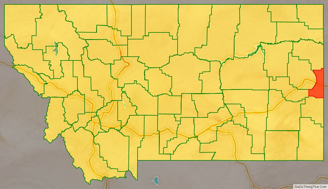
Adjacent counties
- Richland County – north
- Dawson County – northwest
- Prairie County – west
- Fallon County – south
- Golden Valley County, North Dakota – east
- McKenzie County, North Dakota – northeast
Major highways
- Interstate 94
- U.S. Highway 10 (Former)
- Montana Highway 7
- S-261
National protected area
- Lamesteer National Wildlife Refuge
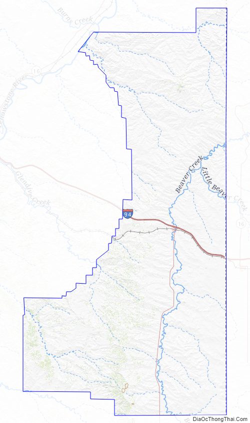
Wibaux County Topographic Map
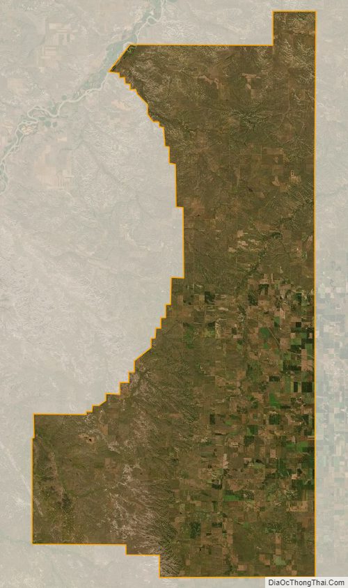
Wibaux County Satellite Map
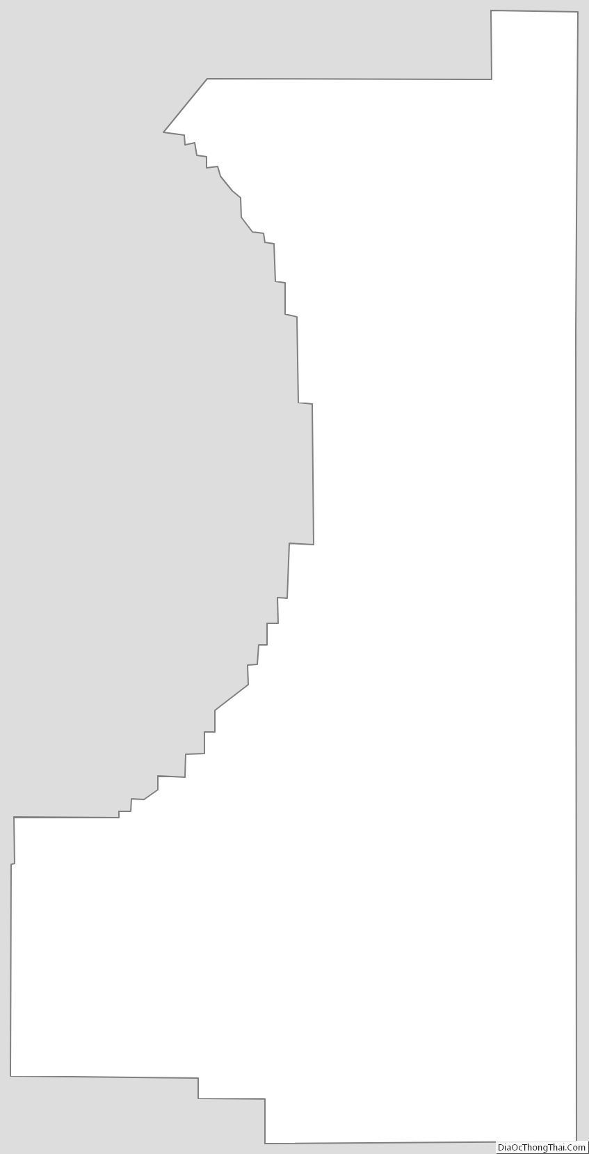
Wibaux County Outline Map