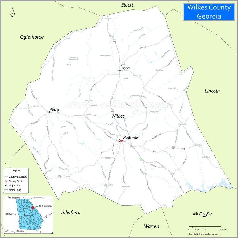
Wilkes County is a county located in the east central portion of the U.S. state of Georgia. As of the 2020 census, the population was 9,565. The county seat is the city of Washington.
Referred to as “Washington-Wilkes”, the county seat and county are commonly treated as a single entity by locals, including the area’s historical society and the Chamber of Commerce. It is part of the Central Savannah River Area (CSRA).
| Name: | Wilkes County |
|---|---|
| FIPS code: | 13-317 |
| State: | Georgia |
| Founded: | 1777 |
| Named for: | John Wilkes |
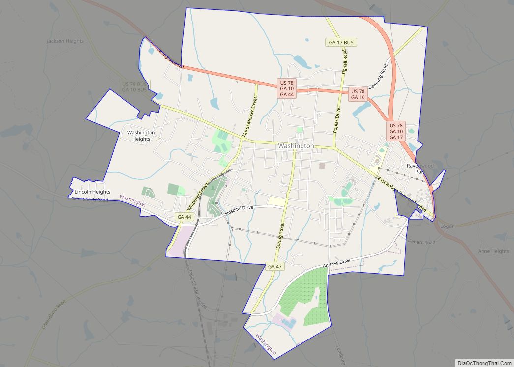
| Seat: | Washington |
| Largest city: | Washington |
| Total Area: | 474 sq mi (1,230 km²) |
| Land Area: | 469 sq mi (1,210 km²) |
| Total Population: | 9,565 |
| Population Density: | 20/sq mi (8/km²) |
| Time zone: | UTC−5 (Eastern) |
| Summer Time Zone (DST): | UTC−4 (EDT) |
| Website: | www.washingtonwilkes.org |
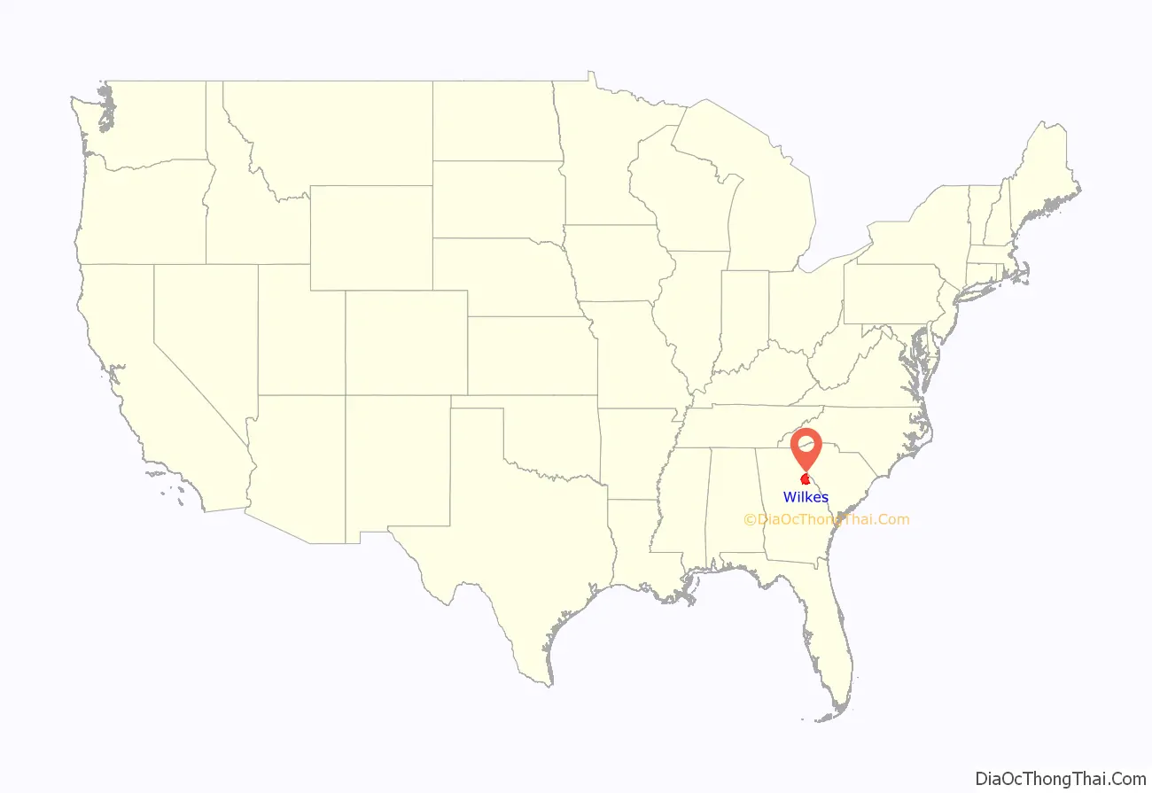
Wilkes County location map. Where is Wilkes County?
History
Wilkes County, named for British politician and supporter of American independence, John Wilkes, is considered Georgia’s first county established by European Americans; it was the first of eight original counties created in the first state constitution on February 5, 1777. The other seven counties were organized from existing colonial parishes.
Wilkes was unique in being made up of land ceded in 1773 by the indigenous Creek and Cherokee Native American nations in their respective Treaties of Augusta. Its location was unique due to its close proximity to the Atlantic seaboard fall line.
Between 1790 and 1854, Wilkes County’s area was reduced as it was divided to organize new counties following the growth of population in the area. The Georgia legislature formed the counties of Elbert, Oglethorpe, and Lincoln entirely from portions of Wilkes County. Wilkes also contributed part of the lands used in the creation of Madison, Warren, Taliaferro, Hart, McDuffie, and Greene Counties.
Wilkes County was the site of one of the most important battles of the American Revolutionary War to be fought in Georgia. During the Battle of Kettle Creek in 1779, the American Patriot forces were victorious over British Loyalists.
During the eighteenth and nineteenth centuries, colonists depended on enslaved African-American workers and whites to clear land, develop plantations, and cultivate and process cotton in this area. Long-staple cotton would not grow in this upland areas and short-staple cotton was originally too labor-intensive to be profitable.
In 1793, American Eli Whitney perfected his revolutionary invention of the cotton gin at Mount Pleasant, a cotton plantation east of Washington. It allowed mechanization of the processing of short-staple cotton, making its cultivation profitable in the upland areas. As a result, there was a dramatic increase in the development of new cotton plantations throughout the Deep South to cultivate short-staple cotton.
Settlers increased pressure on the federal government to remove Native Americans from the region, including the Five Civilized Tribes from the Southeast. In 1794, Revolutionary War veteran Elijah Clarke, led a group of men from Wilkes County into traditionally Creek lands and established a town and several forts and called it the Trans-Oconee Republic. While short lived, the incursion was part of a broader movement of incursion into traditionally native lands. Congress passed the Indian Removal Act in 1830 and the government forcibly removed most of the members of these tribes to Indian Territory west of the Mississippi River.
Production of short-staple cotton in the Deep South soon superseded that of long-staple cotton, grown primarily on the Sea Islands and in the Low Country. Such expansion dramatically increased the demand for slave labor in the Deep South, resulting in a longstanding domestic slave trade that transported more than a million slaves in forced migrations from the Upper South. King Cotton brought great wealth to many planters in the decades before the Civil War.
None of the battles of the American Civil War was fought in or near Wilkes County. But here President Jefferson Davis met for the final time with the Confederate Cabinet, and they officially dissolved the government of the Confederate States of America. Wilkes County was the last-known location of the gold rumored to have been lost from the Confederate Treasury. The present-day Wilkes County Courthouse was built in Washington at the site of the cabinet meeting.
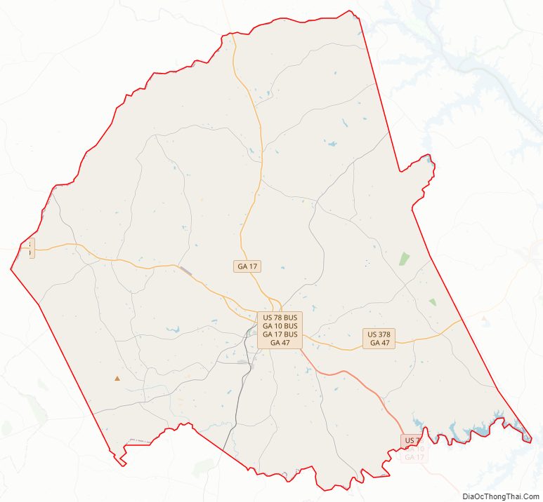
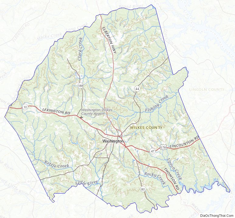
Wilkes County Road Map
Geography
According to the U.S. Census Bureau, the county has a total area of 474 square miles (1,230 km), of which 469 square miles (1,210 km) is land and 4.6 square miles (12 km) (1.0%) is water. It is located in the Piedmont region above the fall line.
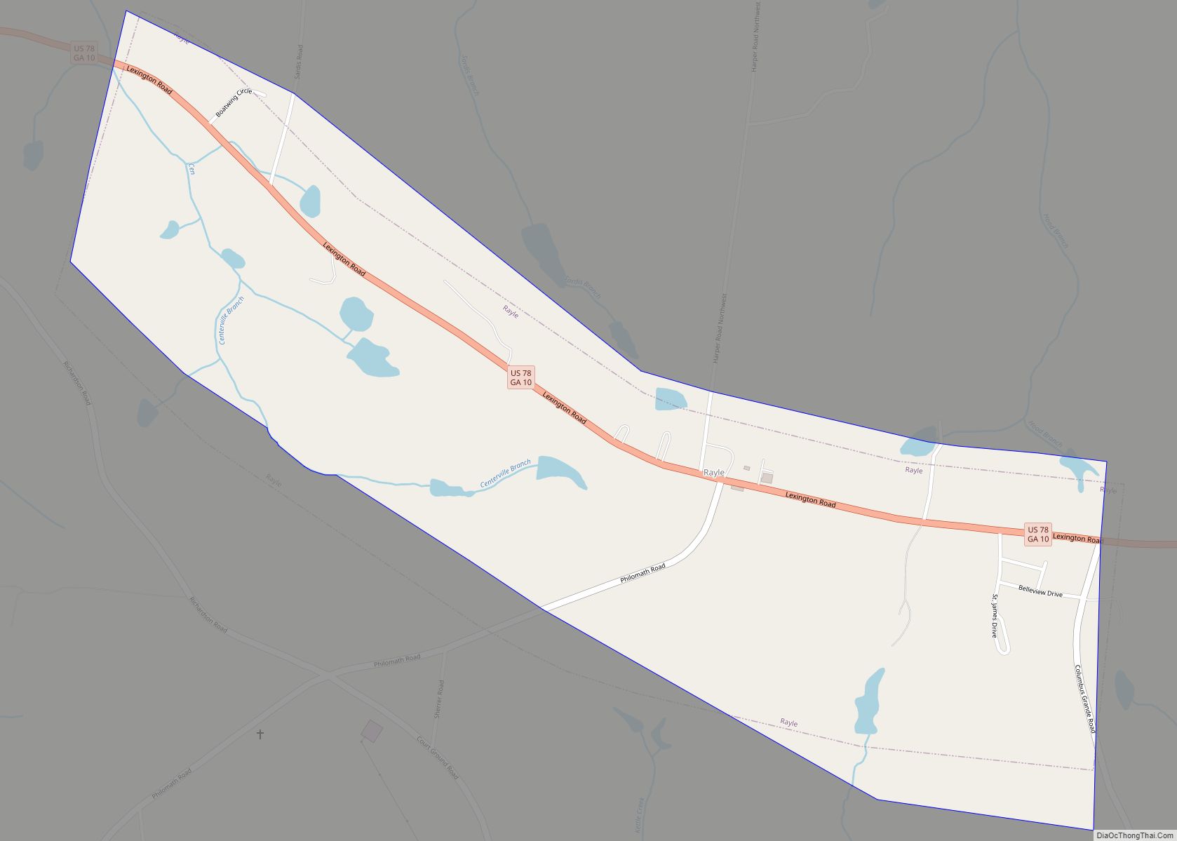
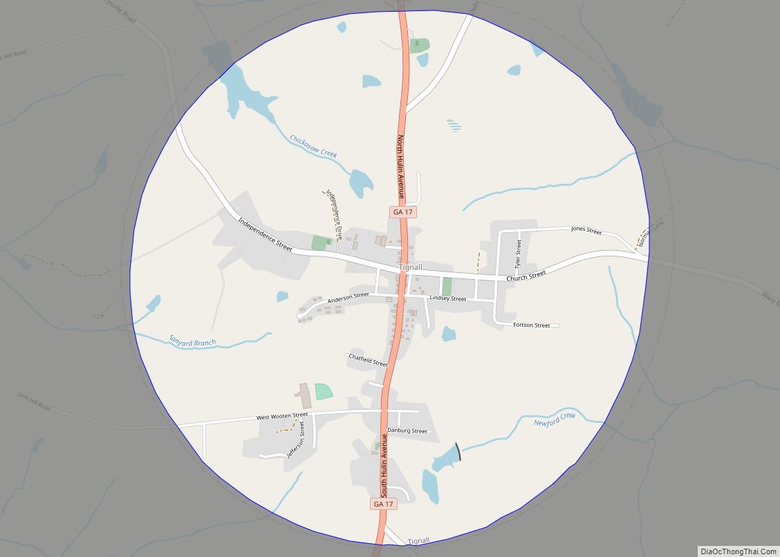
The northern quarter of Wilkes County, in a curved line from Rayle through Tignall to the northeastern corner of the county, is located in the Broad River sub-basin of the Savannah River basin. The eastern portion of the county, from Washington east, and bordered to the north and west by the Broad River sub-basin, is located in the Upper Savannah River sub-basin of the larger Savannah River basin. The rest of the county, south of Washington, is located in the Little River sub-basin of the Savannah River basin.
Major highways
- U.S. Route 78
U.S. Route 78 Business- U.S. Route 378
- State Route 10
- State Route 10 Business
- State Route 17
- State Route 44
- State Route 47
- State Route 80
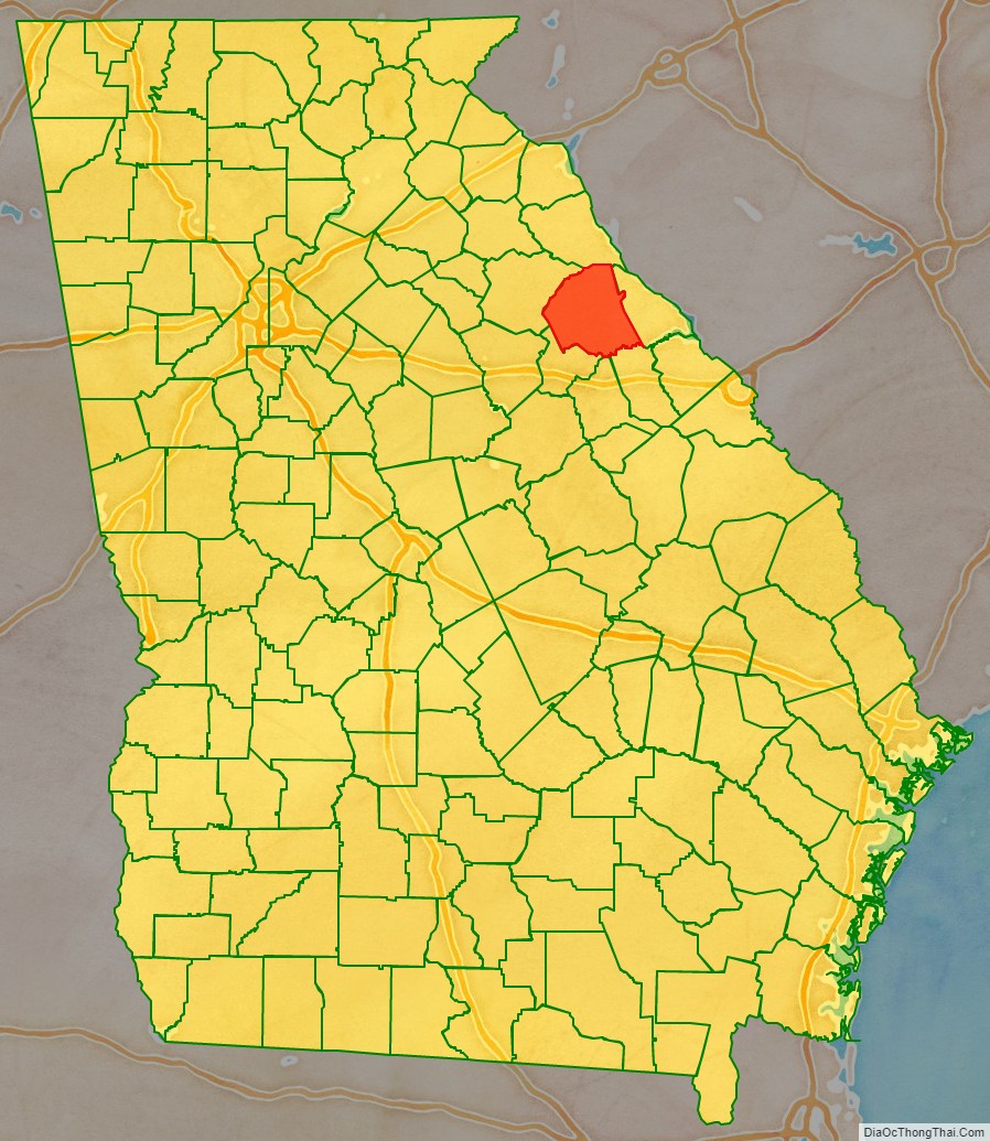
Adjacent counties
- Elbert County (north)
- Lincoln County (east)
- McDuffie County (southeast)
- Warren County (south)
- Taliaferro County (southwest)
- Oglethorpe County (west)
Wilkes County Topographic Map
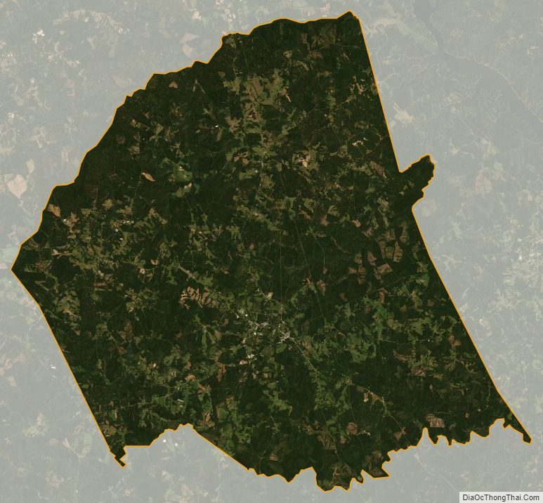
Wilkes County Satellite Map
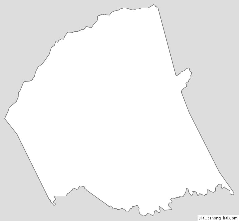
Wilkes County Outline Map