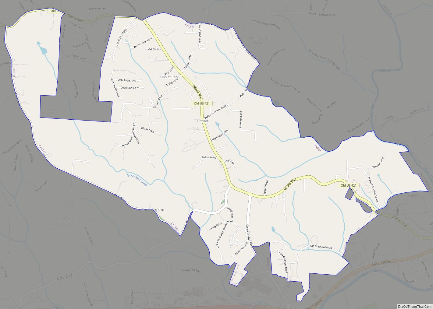
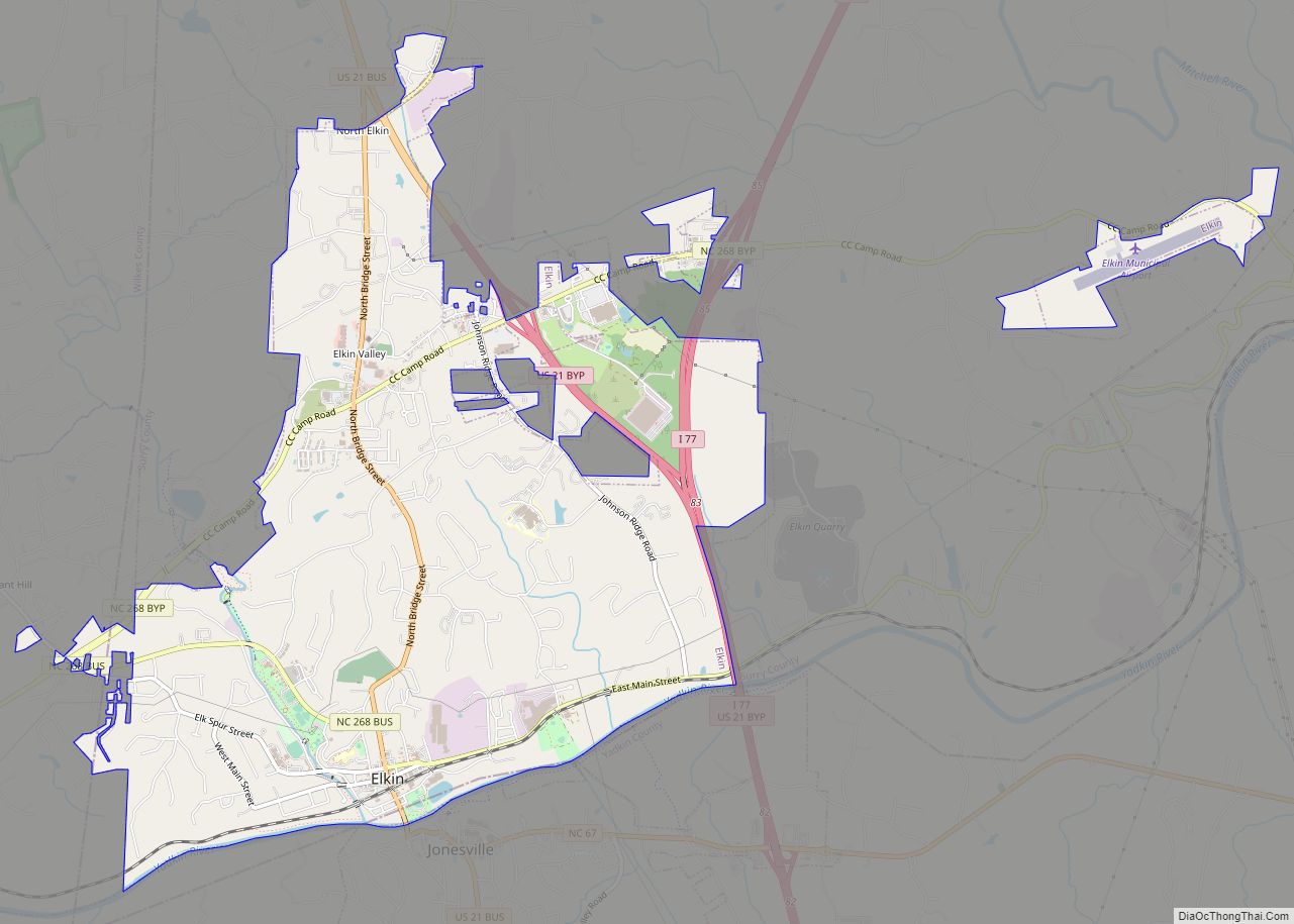
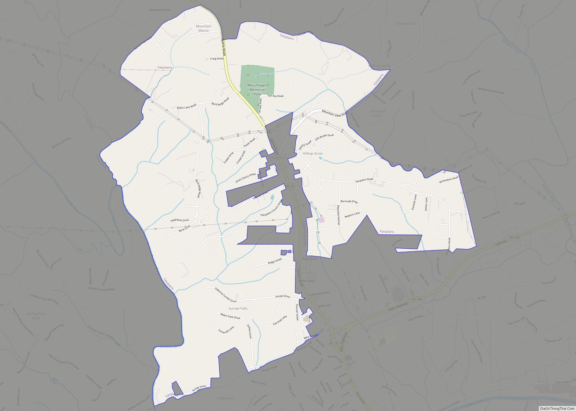
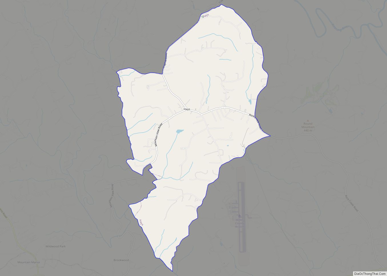
Wilkes County is a county located in the US state of North Carolina. It is a part of the state’s western mountain region. As of the 2020 census the population was 65,969, in 2010 the census listed the population at 69,340. Its county seat is Wilkesboro, and its largest town is North Wilkesboro. Wilkes County comprises the North Wilkesboro, NC, Micropolitan Statistical Area.
| Name: | Wilkes County |
|---|---|
| FIPS code: | 37-193 |
| State: | North Carolina |
| Founded: | 1778 |
| Named for: | John Wilkes |
| Seat: | Wilkesboro |
| Largest town: | North Wilkesboro |
| Total Area: | 757 sq mi (1,960 km²) |
| Land Area: | 754 sq mi (1,950 km²) |
| Total Population: | 65,806 |
| Population Density: | 87.3/sq mi (33.7/km²) |
| Time zone: | UTC−5 (Eastern) |
| Summer Time Zone (DST): | UTC−4 (EDT) |
| Website: | www.wilkescounty.net |
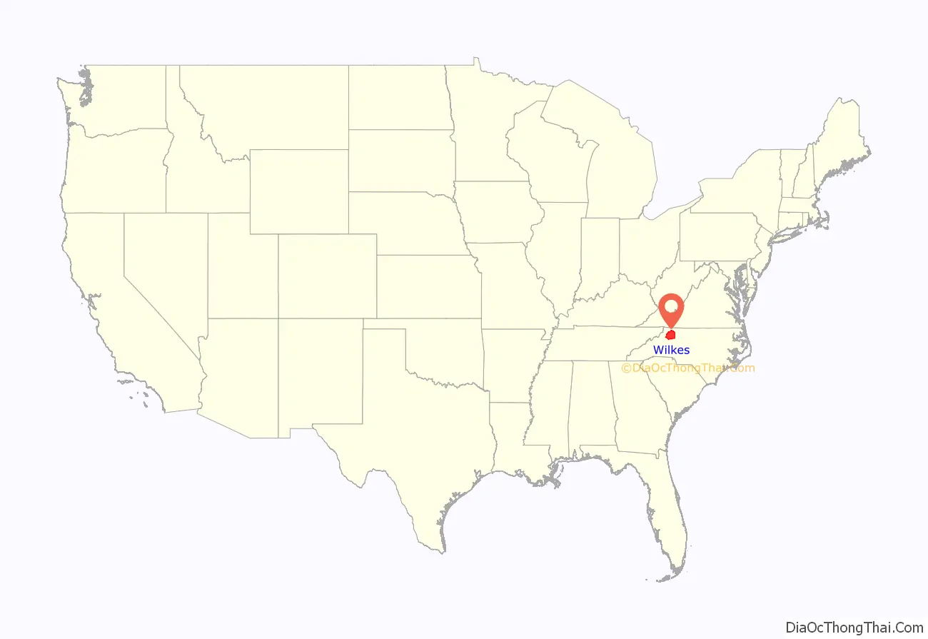
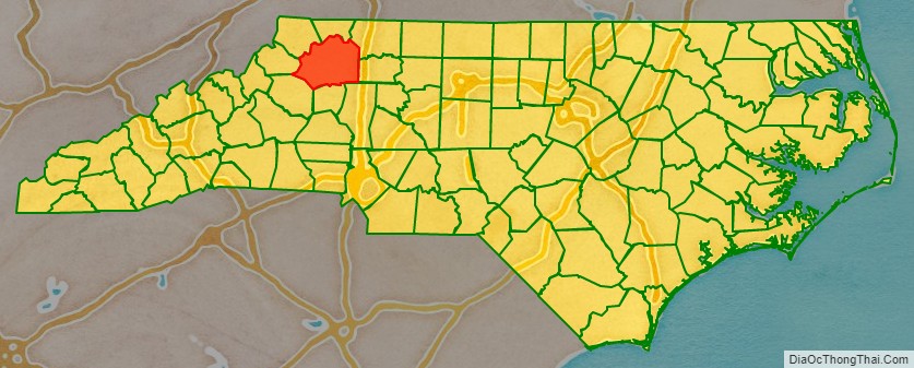
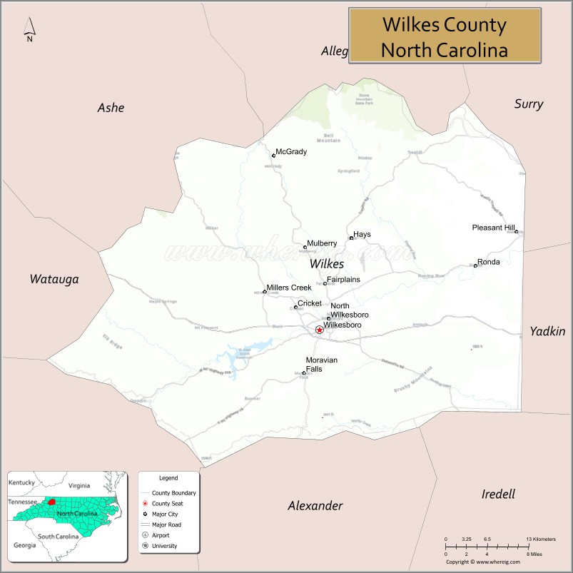
Wilkes County location map. Where is Wilkes County?
History
The county was formed from parts of Surry County and Washington District (now Washington County, Tennessee) on April 20, 1778, by an act of the North Carolina General Assembly of 1778. The first session of the county court was held in John Brown’s house near what is today Brown’s Ford. The act creating the county became effective on February 15, 1778, and the county celebrates its anniversary on February 15. Wilkes County was named for the English political radical John Wilkes, who lost his position as Lord Mayor of the City of London due to his support for the colonists during the American Revolution.
In 1799, the northern and western parts of Wilkes County became Ashe County. In 1841, parts of Wilkes County and Burke County were combined to form Caldwell County. In 1847, another part of Wilkes County was combined with parts of Caldwell County and Iredell County to become Alexander County. In 1849, additional parts of Wilkes County and Caldwell County were combined with parts of Ashe County and Yancey County to form Watauga County. Numerous boundary adjustments were made thereafter, but none resulted in new counties.
Moonshine production and the birth of NASCAR
Wilkes County was once known as the “Moonshine Capital of the World”, and was a leading producer of illegal homemade liquor. From the 1920s to the 1950s some young Wilkes County males made their living by delivering moonshine to North Carolina’s larger towns and cities. Wilkes County natives also used bootleg liquor as a means for barter far beyond the borders of North Carolina. Many Wilkes County distillers ran white liquor as far as Detroit, New Jersey, and South Florida. Since this often involved outrunning local police and federal agents in auto chases, the county became one of the birthplaces of the sport of stock-car racing.
The North Wilkesboro Speedway was the first NASCAR (National Association of Stock Car Auto Racing) track; it held its first race on May 18, 1947, and the first NASCAR-sanctioned race on October 16, 1949. Wilkes County native and resident Junior Johnson was one of the early superstars of NASCAR, as well as a legendary moonshiner. Johnson was featured by the writer Tom Wolfe in a 1965 Esquire magazine article titled “The Last American Hero Is Junior Johnson. Yes!”, which gave him national exposure. Wolfe’s vivid article was later adapted as the movie The Last American Hero (1973), starring Jeff Bridges and Valerie Perrine. Benny Parsons and Jimmy Pardue were two other notable NASCAR drivers from Wilkes.
The North Wilkesboro Speedway was closed following the 1996 NASCAR season. Two new owners, Bob Bahre and Bruton Smith, moved North Wilkesboro’s NASCAR races to their tracks in Texas and New Hampshire. In 2009, Speedway Associates, Inc., obtained a three-year lease and started running races and other events at the speedway. However, in May 2011, the group announced that funding had fallen through and they were ending their lease prematurely. Following the track’s closure in 1996, numerous news media stories and articles were written about the rich history of the speedway, the physical decay of the track and grandstands, and efforts to renovate and save the speedway. In November 2021, the North Carolina state legislature and North Carolina Governor Roy Cooper approved giving $18 million to the North Wilkesboro Speedway for extensive renovations and repairs in an effort to return auto racing to the track. Following the renovation, the Speedway held its first races in a decade in August 2022, drawing a sellout crowd to the CARS Tour’s Window World 125. In September 2022 it was announced that the 2023 NASCAR All-Star Race will be held at the North Wilkesboro Speedway in May 2023, marking the first NASCAR race to be held at the track since 1996.
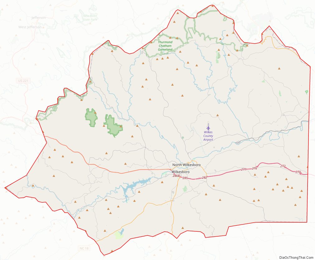
Wilkes County Road Map
Geography
According to the U.S. Census Bureau, the county has a total area of 757 square miles (1,960 km), of which 754 square miles (1,950 km) is land and 2.6 square miles (6.7 km) (0.3%) is water.
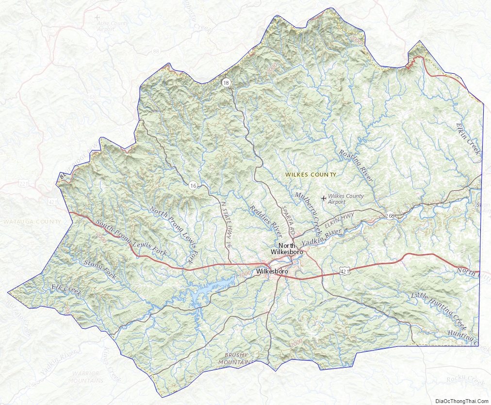
Wilkes County is located on the eastern slope of the Blue Ridge Mountains, a part of the Appalachian Mountains chain. The county’s elevation ranges from 900 feet (270 meters) in the east to over 4,000 feet (1,200 meters) in the west. The Blue Ridge Mountains run from the southwest to the northeast, and dominate the county’s western and northern horizons. Tomkins Knob, the highest point in the county, rises to 4,079 feet (1,243 meters). The Blue Ridge Parkway runs along the crest of the Blue Ridge on the county’s northern and western borders. The foothills and valleys of the Blue Ridge form most of the county’s midsection, with some elevations exceeding 2,000 feet (610 meters). Stone Mountain State Park, located in the foothills of northern Wilkes County, is one of the most popular state parks in North Carolina, and is noted for its excellent rock climbing and trout fishing. The Brushy Mountains, an isolated spur of the Blue Ridge, form the county’s southern border. Wilkes County’s terrain gradually becomes more level and less hilly as one moves to the east; the far eastern section of the county lies within the Piedmont region of North Carolina. The largest river in Wilkes is the Yadkin River, which flows through the central part of the county. The county’s three other major streams, all of which flow into the Yadkin, are the Reddies River, Roaring River, and Mulberry Creek. Following the devastating floods of 1916 and 1940, the US Army’s Corps of Engineers constructed the W. Kerr Scott Dam and Reservoir on the Yadkin River four miles west of Wilkesboro. Opened in 1962, the dam created a lake with a shoreline of 56 miles. The lake is used for boating, swimming, fishing, and waterskiing; it is especially noted for its excellent bass fishing. The W. Kerr Scott lake is the largest body of water in Wilkes.
Due to its wide range of elevation, Wilkes County’s climate varies considerably. In winter, it is not unusual for it to be sunny with the temperature in the forties in the county’s eastern section, while at the same time it is snowing or sleeting with the temperature below freezing in the county’s mountainous north, west, and south. Generally speaking, Wilkes receives ample amounts of precipitation, with frequent thunderstorms in the spring and summer months; and rain, snow, sleet, and freezing rain all occur at times during the winter, with the frequency increasing with the altitude. Wilkesboro, the county seat, receives an average of 50 inches of rain per year and an average of 10 inches of snow. Severe weather is not common in Wilkes but does occur. Tornadoes are rare, but severe thunderstorms can bring strong winds which can down trees and power lines, as well as cause hail. On October 23, 2017, a rare EF 1 tornado touched down in the community of Moravian Falls, before moving into the towns of Wilkesboro and North Wilkesboro, and then through the Mulberry, Fairplains, and Hays communities, causing significant damage. Wilkes County is far enough inland that hurricanes rarely cause problems, but a strong hurricane which moves inland quickly enough may cause damage, as with Hurricane Hugo in 1989. Due to the numerous creeks and streams which run through its valleys, Wilkes is especially prone to devastating flash floods. The two most memorable floods occurred in 1916 and 1940, killing a number of residents and causing millions of dollars in damages. Since the opening of the W. Kerr Scott Dam in 1962, the Yadkin River has not flooded in the county. Although Wilkes County has never had a severe earthquake, a fault runs through the Brushy Mountains, and mild earth tremors are not uncommon. On August 31, 1861, an earthquake estimated at 5.0 on the Richter magnitude scale hit the southern part of the county and caused minor damage.
National protected area
- Blue Ridge Parkway (part)
State and local protected areas
- Doughton Recreation Area (part)
- Rendezvous Mountain State Park
- Stone Mountain State Park (part)
- Thurmond Chatham Wildlife Management Area (part)
Major water bodies
- Big Sandy Creek
- Big Warrior Creek
- Brier Creek
- Coal Creek
- Cub Creek
- Dugger Creek
- East Prong Roaring River
- Elk Creek
- Elkin Creek
- Fall Creek
- Fishing Creek
- Grassy Fork (Elkin Creek tributary)
- Hunting Creek
- Laurel Branch
- Little Dugger Creek
- Little Elkin Creek
- Little Hunting Creek
- Lousy Creek (Reddies River tributary)
- Mulberry Creek
- North Fork Reddies River
- North Little Hunting Creek
- Reddies River
- Roaring River
- Sandy Creek
- South Fork Reddies River
- W. Kerr Scott Dam and Reservoir
- Yadkin River
- Yates Creek
Adjacent counties
- Alexander County – south
- Alleghany County – north
- Ashe County – northwest
- Caldwell County – southwest
- Iredell County – southeast
- Surry County – northeast
- Watauga County – west
- Yadkin County – east
Major highways
- US 21
- US 421
- US 421 Bus.
- NC 16
- NC 18
- NC 115
- NC 268
- NC 268A (Alternative Route)
- NC 268 Bus.
Wilkes County is home to several NC and US Highways, as well as an airport and public transportation. Wilkes is also one of the twenty-seven NC counties which the Blue Ridge Parkway runs through.
Major infrastructure
- North Wilkesboro Speedway, famous speedway in Wilkes County.
- Wilkes County Airport
- Wilkes Transportation Authority serves Wilkes County with buses and vans along a scheduled route and rural service.
Wilkes County Topographic Map
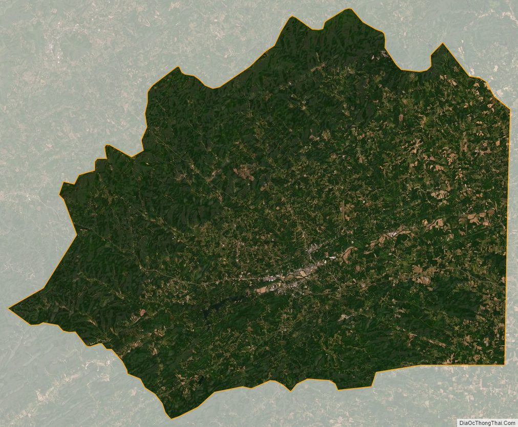
Wilkes County Satellite Map
Wilkes County Outline Map