Wilkesboro is a town in and the county seat of Wilkes County, North Carolina, United States. The population was 3,687 at the 2020 census. The town is located along the south bank of the Yadkin River, directly opposite the town of North Wilkesboro. Wilkesboro is a Small Town Main Street community and has recently revitalized its historic downtown to include the Carolina West Wireless Community Commons, Wilkes Communications Pavilion, Heritage Square and Splash Pad. Cub Creek Park is adjacent to the downtown and contains many amenities, which include baseball, walking trails, mountain biking trails, trout fishing, dog park, basketball, tennis, and pickleball courts, picnic shelters, etc. Wilkesboro is also the home of the annual MerleFest, Carolina in the Fall, and Brushy Mountain Peach & Heritage festivals.
| Name: | Wilkesboro town |
|---|---|
| LSAD Code: | 43 |
| LSAD Description: | town (suffix) |
| State: | North Carolina |
| County: | Wilkes County |
| Elevation: | 1,047 ft (319 m) |
| Total Area: | 6.43 sq mi (16.64 km²) |
| Land Area: | 6.43 sq mi (16.64 km²) |
| Water Area: | 0.00 sq mi (0.00 km²) |
| Total Population: | 3,687 |
| Population Density: | 573.76/sq mi (221.52/km²) |
| ZIP code: | 28697 |
| Area code: | 336 |
| FIPS code: | 3774020 |
| GNISfeature ID: | 0997336 |
| Website: | wilkesboronc.org |
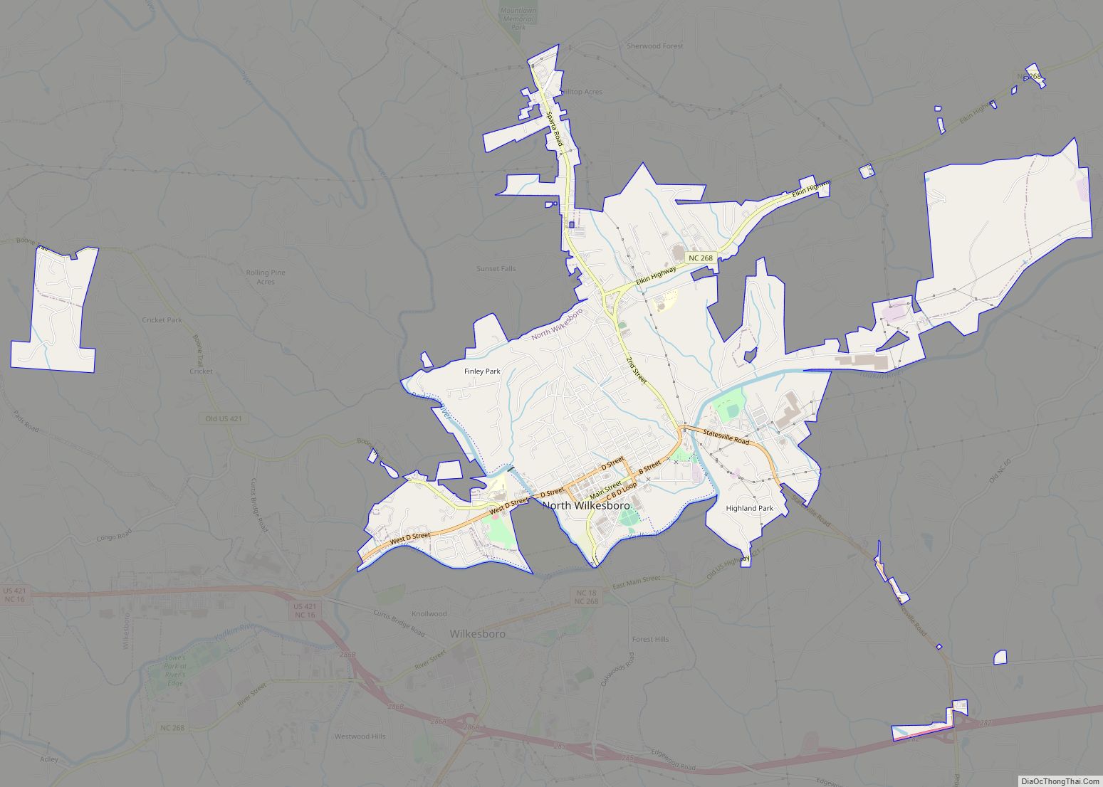
Online Interactive Map
Click on ![]() to view map in "full screen" mode.
to view map in "full screen" mode.
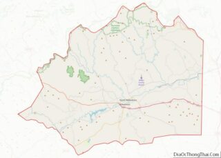
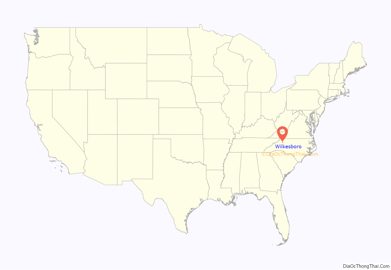
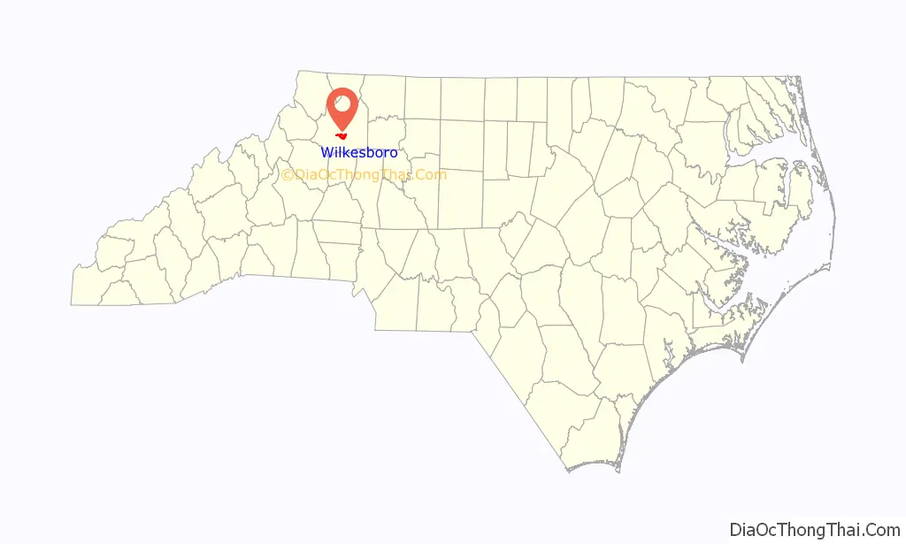
Wilkesboro location map. Where is Wilkesboro town?
History
Wilkesboro was founded in 1800 and quickly designated as the county seat. The town is built atop a low, broad ridge which runs for over a mile along the south bank of the Yadkin River. For many decades a popular historic spot in Wilkesboro was the “Tory Oak”, a large oak tree from which Colonel Benjamin Cleveland, a well-known Wilkes County patriot during the American Revolutionary War, hanged Loyalist militia leaders who supported the British King and opposed American independence from Britain. The oak was located behind the old Wilkes County courthouse. During the Civil War, many of Wilkesboro’s residents remained loyal to the Union and opposed the Confederacy. In March 1865 General George Stoneman, a Union cavalry leader, led a raid through the town. Shortly after the war ended, Tom Dula (Dooley), a Confederate veteran, was tried and hanged for the murder of his fiancée, Laura Foster. Many people were convinced that one of Dula’s jealous ex-girlfriends murdered Foster, and that Dula was innocent of the crime. Dula’s story was turned into a top-selling ballad in 1958 by the Kingston Trio, the title of which was Tom Dooley. The story was subsequently turned into a 1959 movie starring Michael Landon as Dula, and each summer the Wilkes Playmakers present a popular play based on the story.
The Robert Cleveland Log House, Downtown Wilkesboro Historic District, Federal Building, J. T. Ferguson Store, Thomas B. Finley Law Office, J. L. Hemphill House, Johnson-Hubbard House, Old Wilkes County Jail, St. Paul’s Episcopal Church and Cemetery, Wilkes County Courthouse, Wilkesboro Presbyterian Church, and Wilkesboro-Smithey Hotel are listed on the National Register of Historic Places.
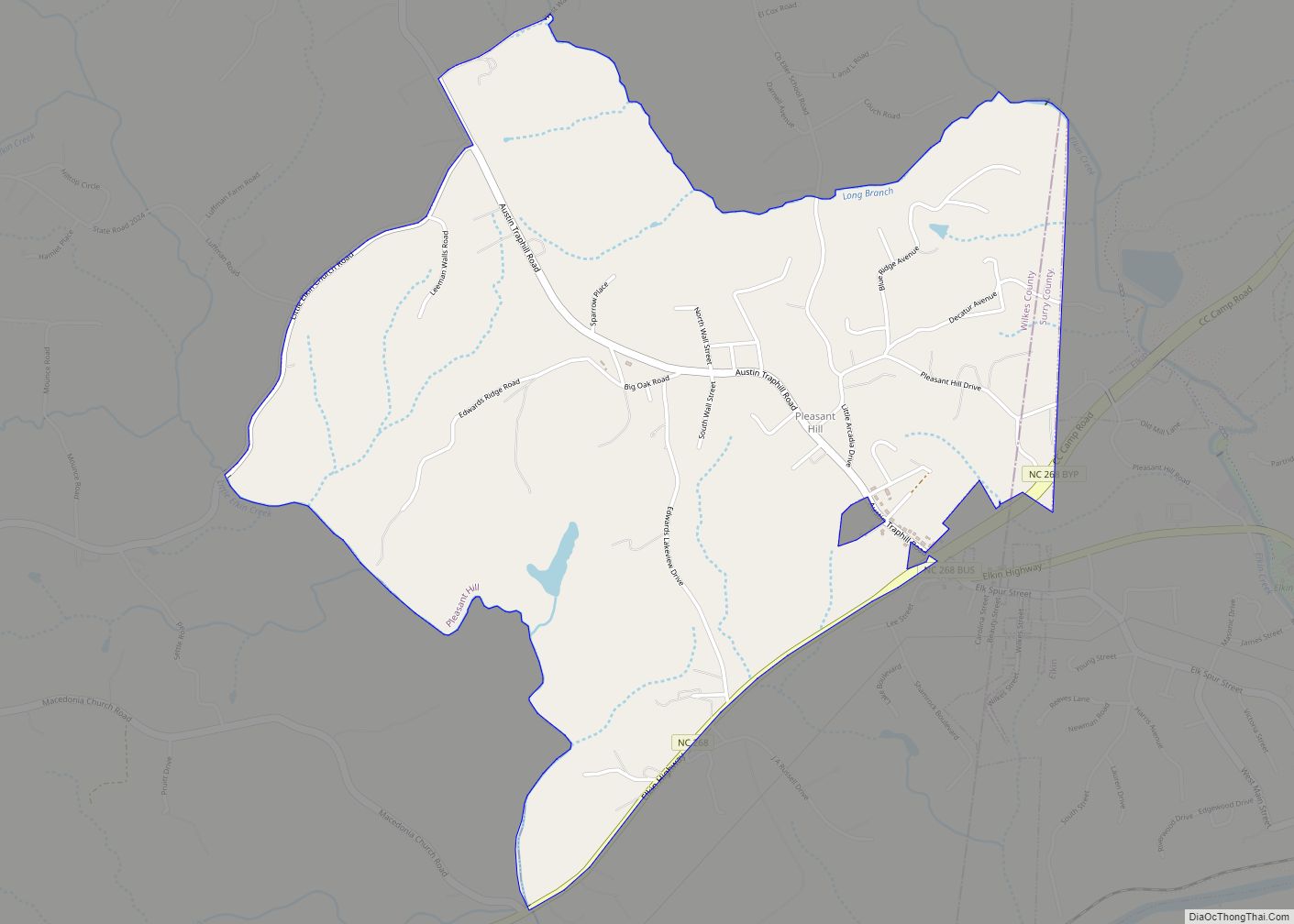
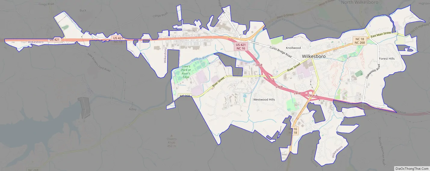
Wilkesboro Road Map
Wilkesboro city Satellite Map

See also
Map of North Carolina State and its subdivision:- Alamance
- Alexander
- Alleghany
- Anson
- Ashe
- Avery
- Beaufort
- Bertie
- Bladen
- Brunswick
- Buncombe
- Burke
- Cabarrus
- Caldwell
- Camden
- Carteret
- Caswell
- Catawba
- Chatham
- Cherokee
- Chowan
- Clay
- Cleveland
- Columbus
- Craven
- Cumberland
- Currituck
- Dare
- Davidson
- Davie
- Duplin
- Durham
- Edgecombe
- Forsyth
- Franklin
- Gaston
- Gates
- Graham
- Granville
- Greene
- Guilford
- Halifax
- Harnett
- Haywood
- Henderson
- Hertford
- Hoke
- Hyde
- Iredell
- Jackson
- Johnston
- Jones
- Lee
- Lenoir
- Lincoln
- Macon
- Madison
- Martin
- McDowell
- Mecklenburg
- Mitchell
- Montgomery
- Moore
- Nash
- New Hanover
- Northampton
- Onslow
- Orange
- Pamlico
- Pasquotank
- Pender
- Perquimans
- Person
- Pitt
- Polk
- Randolph
- Richmond
- Robeson
- Rockingham
- Rowan
- Rutherford
- Sampson
- Scotland
- Stanly
- Stokes
- Surry
- Swain
- Transylvania
- Tyrrell
- Union
- Vance
- Wake
- Warren
- Washington
- Watauga
- Wayne
- Wilkes
- Wilson
- Yadkin
- Yancey
- Alabama
- Alaska
- Arizona
- Arkansas
- California
- Colorado
- Connecticut
- Delaware
- District of Columbia
- Florida
- Georgia
- Hawaii
- Idaho
- Illinois
- Indiana
- Iowa
- Kansas
- Kentucky
- Louisiana
- Maine
- Maryland
- Massachusetts
- Michigan
- Minnesota
- Mississippi
- Missouri
- Montana
- Nebraska
- Nevada
- New Hampshire
- New Jersey
- New Mexico
- New York
- North Carolina
- North Dakota
- Ohio
- Oklahoma
- Oregon
- Pennsylvania
- Rhode Island
- South Carolina
- South Dakota
- Tennessee
- Texas
- Utah
- Vermont
- Virginia
- Washington
- West Virginia
- Wisconsin
- Wyoming