Wise County is a county located in the U.S. state of Virginia. The county was formed in 1856 from Lee, Scott, and Russell Counties and named for Henry A. Wise, who was the Governor of Virginia at the time.
| Name: | Wise County |
|---|---|
| FIPS code: | 51-195 |
| State: | Virginia |
| Founded: | 1856 |
| Named for: | Henry A. Wise |
| Seat: | Wise |
| Largest town: | Big Stone Gap |
| Total Area: | 405 sq mi (1,050 km²) |
| Land Area: | 403 sq mi (1,040 km²) |
| Total Population: | 36,130 |
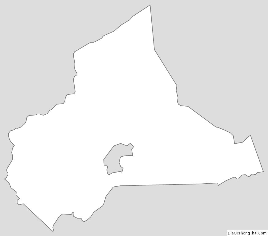
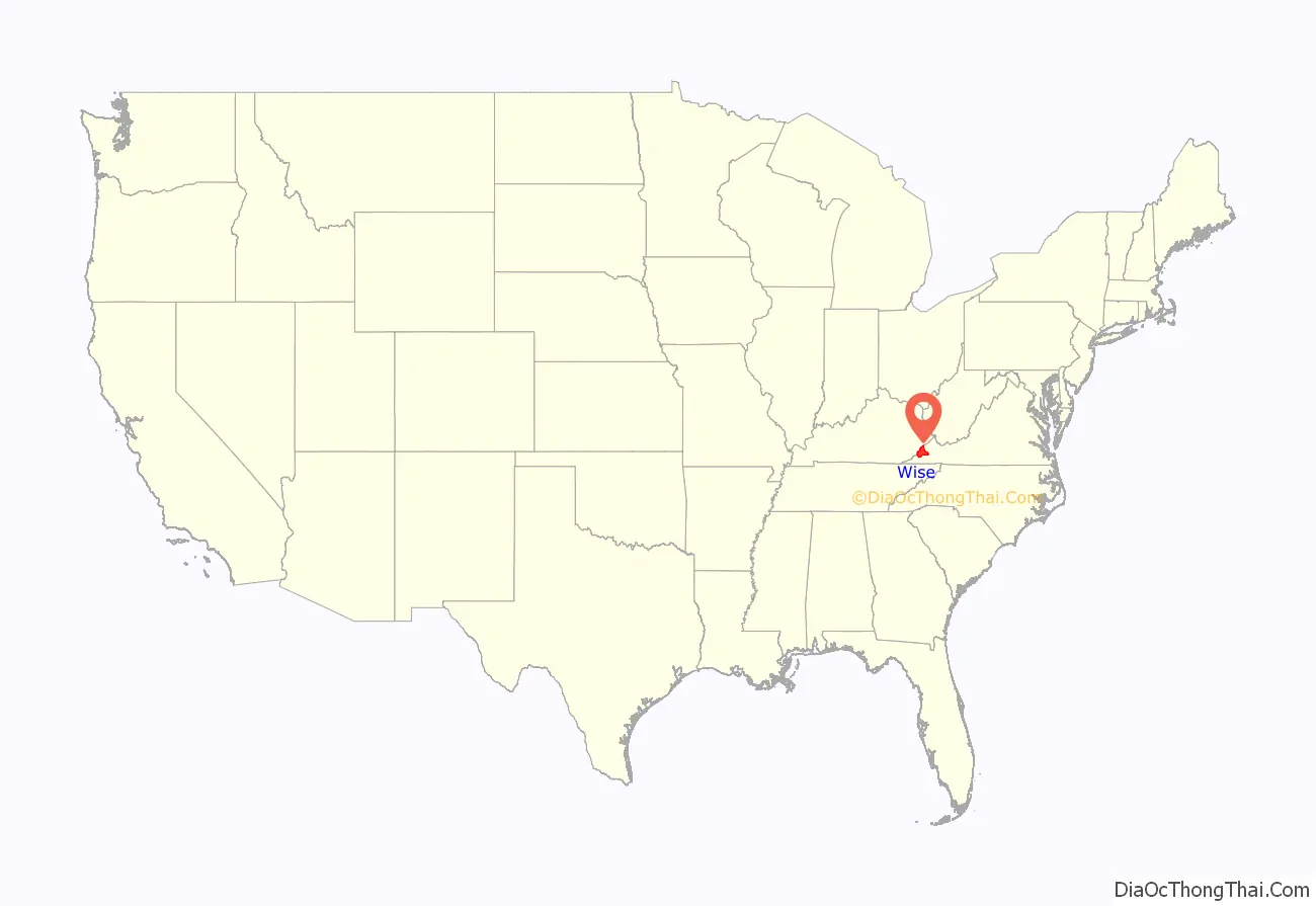
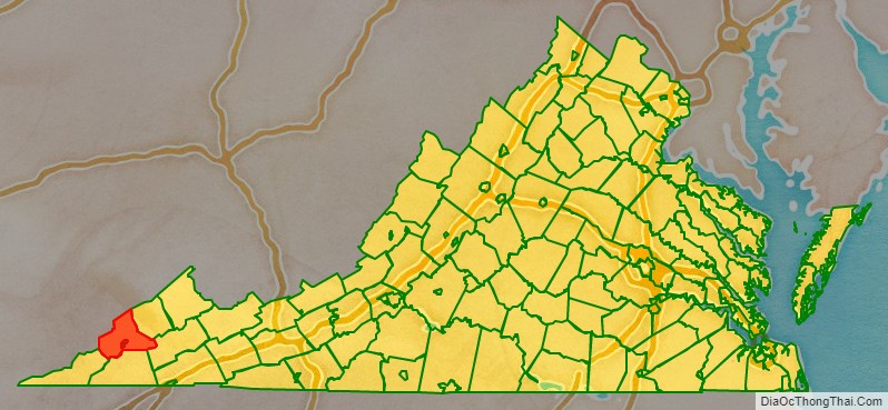
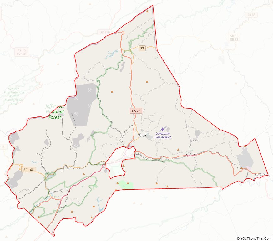
Wise County location map. Where is Wise County?
History
The Cherokee conquered the area including Wise from the Xualae between 1671 and 1685. It was later contested by the Six Nations and the Shawnee. Cherokee and Shawnee hunting parties fought a protracted battle at the headwaters of the Clinch River for two days in the summer of 1786, a victory for the Cherokee although losses were heavy on both sides.
The first white explorers to reach present-day Wise county are said to have been Thomas Walker and Christopher Gist, both in 1750. Several forts were built all along the Clinch from 1774 onward, but only after Chickamauga Cherokee leader Bob Benge was slain in 1794 was present-day Wise considered safe for white settlers even to hunt in. One of the earliest settlers within the county was William Wells around 1792.
In the 1880s, coal deposits became the dominant resource utilized in the area. The Stonega Coke and Coal Company (SC&C) was formed in the town of Appalachia, Virginia. Immigration trends and economic conditions across the country attracted many people to the area for work, including African Americans and Irish, Polish, Italian, and Hungarian immigrants.
Virginia’s two highest security state prisons are located in Wise County: Red Onion State Prison, opened in 1998, and Wallens Ridge State Prison, opened in 1999.
In July 2012 Dominion Energy built Virginia City Hybrid Energy Center in Wise County, a hybrid power plant that burns 80% coal and up to 20% biomass. In 2014, the plant was fined $47,651 by the Virginia Department of Environmental Quality for emitting carbon monoxide and other gases at levels exceeding state regulations.
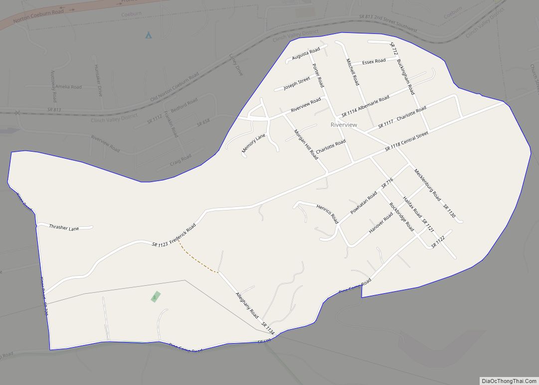
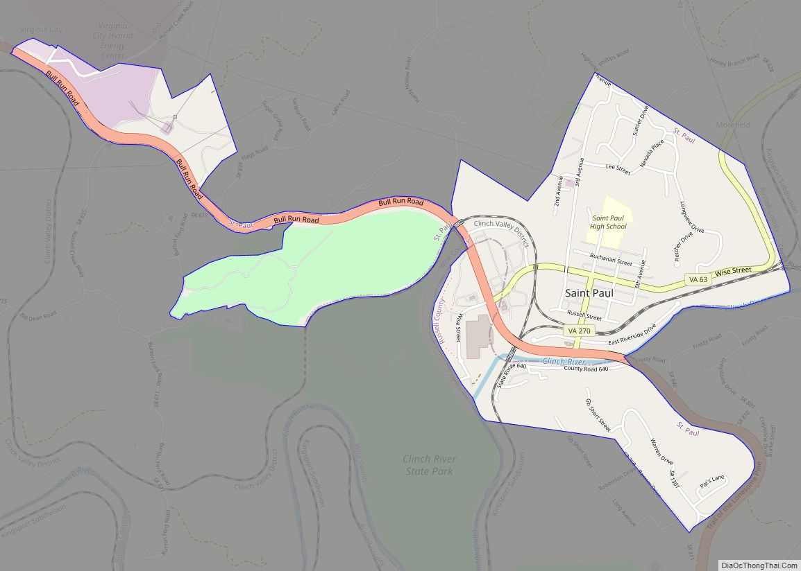
Wise County Road Map
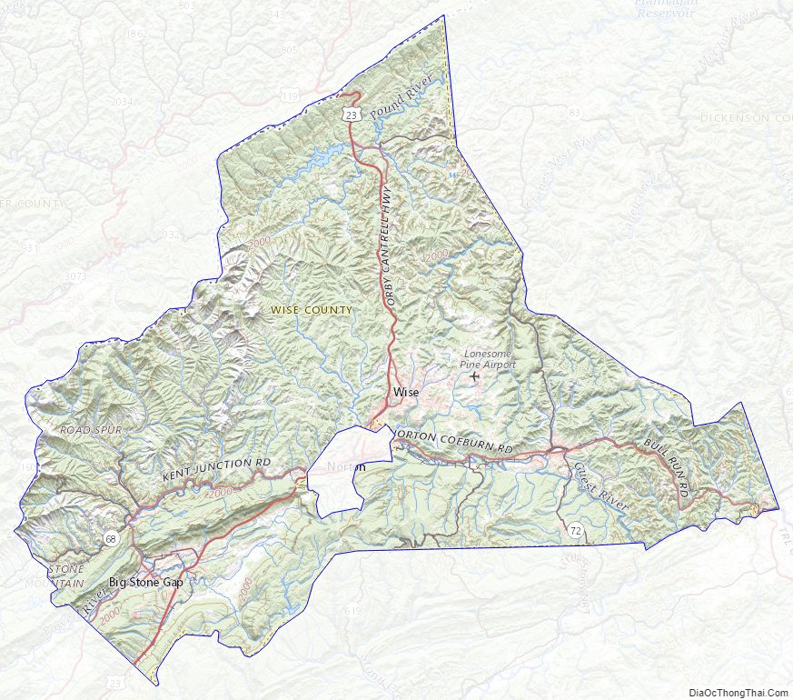
Geography
According to the U.S. Census Bureau, the county has a total area of 405 square miles (1,050 km), of which 403 square miles (1,040 km) is land and 2 square miles (5.2 km) (0.5%) is water. The county is part of the Appalachians and has many mountainous features, including the peak of High Knob and Powell Valley.
Adjacent counties and cities
Major highways
- U.S. Route 23
- U.S. Route 58 Alternate
- State Route 63
- State Route 72
- State Route 83
National protected area
- Jefferson National Forest (part)
Wise County Topographic Map
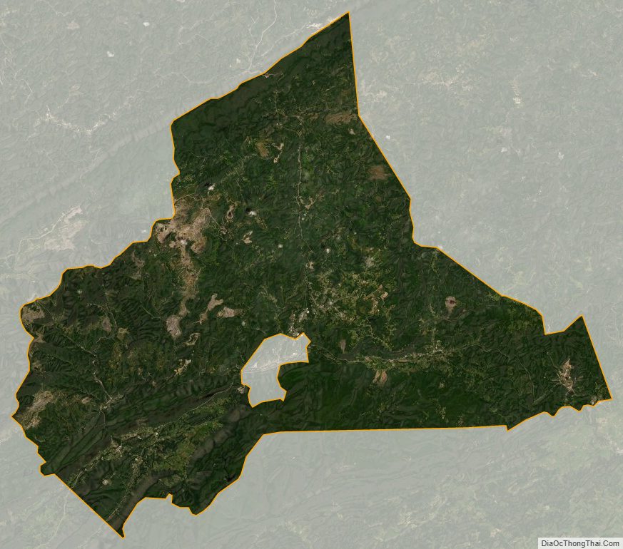
Wise County Satellite Map
Wise County Outline Map