Pound is a town in Wise County, Virginia, United States. The population was recorded as 1,037 in the 2010 United States Census.
| Name: | Pound town |
|---|---|
| LSAD Code: | 43 |
| LSAD Description: | town (suffix) |
| State: | Virginia |
| County: | Wise County |
| Elevation: | 1,565 ft (477 m) |
| Total Area: | 2.61 sq mi (6.75 km²) |
| Land Area: | 2.60 sq mi (6.75 km²) |
| Water Area: | 0.00 sq mi (0.01 km²) |
| Total Population: | 1,037 |
| Population Density: | 352.40/sq mi (136.04/km²) |
| ZIP code: | 24279 |
| Area code: | 276 |
| FIPS code: | 5164272 |
| Website: | poundva.com |
Online Interactive Map
Click on ![]() to view map in "full screen" mode.
to view map in "full screen" mode.
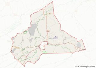
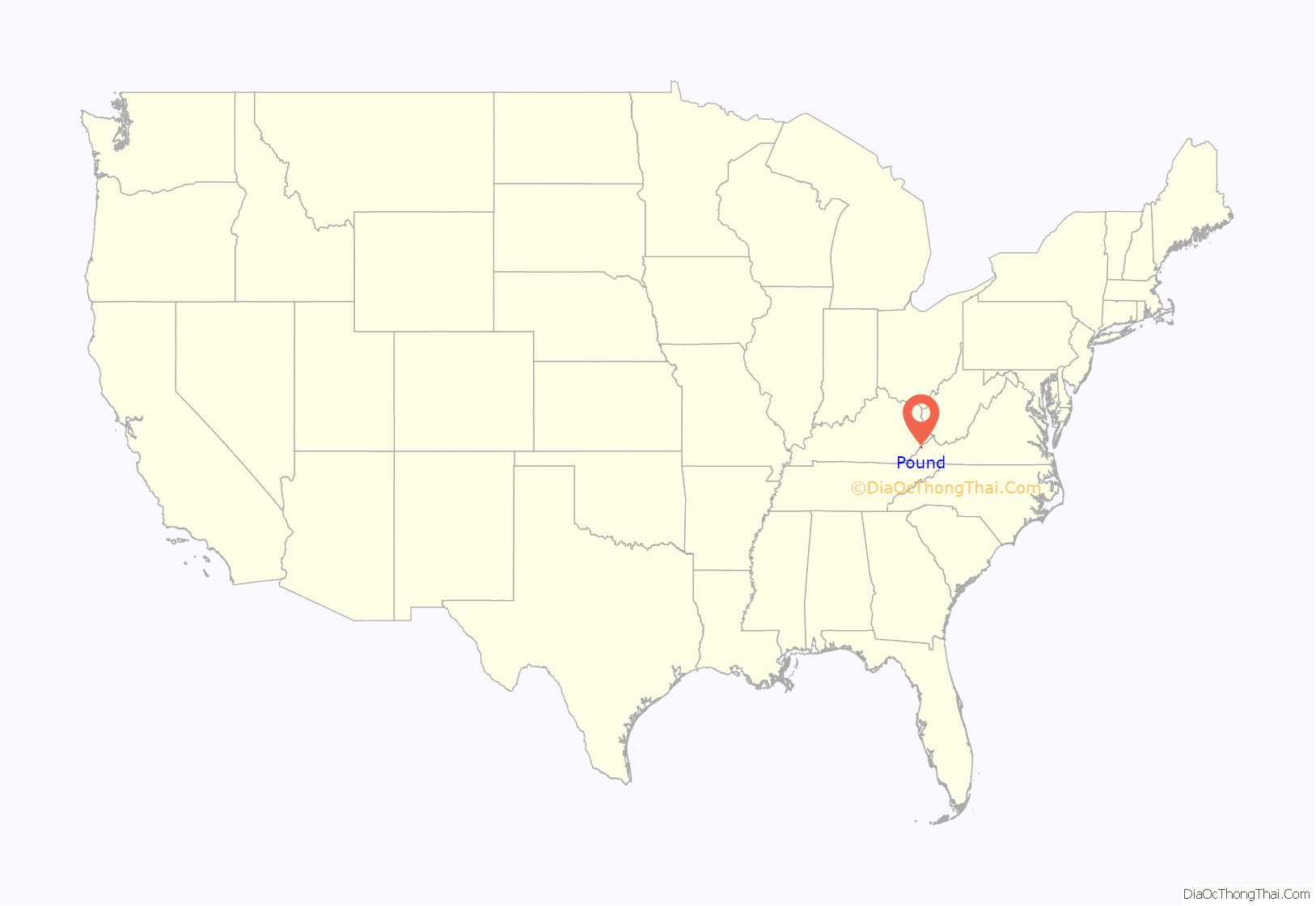
Pound location map. Where is Pound town?

History
The Pound area was explored in 1751 by Christopher Gist, and it is traditionally said to be the oldest settlement in Wise County. Also known as “The Pound,” the name may derive from a family name, or from a pounding mill built in the area in 1815. The county’s first post office was established there in 1848. Pound was not incorporated until 1950, the last town in Wise County to do so.
Historically, the town’s economy benefited from the area’s coal mining industry. In the 1940s, the town had nearly a dozen bars catering to miners from nearby Kentucky. As mining declined in the late twentieth and early twenty-first centuries, Pound—like much of Southwest Virginia—saw its economy and tax base collapse. Over the following decades, fiscal and political difficulties led the Virginia General Assembly to pass a law in 2022 that would revoke the town’s charter in 2023 unless improvements were made. (See Government section, below.)
The Flat Gap High School and Sunnydale Farm are listed on the National Register of Historic Places.
Notable crimes
On November 30, 1927, Leonard Woods, a black coal miner and resident of Jenkins, Kentucky, was lynched on the Virginia-Kentucky border in Pound. Woods had been jailed in Kentucky for the murder of 29-year-old Herschel Deaton of Coeburn, Virginia, following an altercation on November 27. On the night of the lynching, a crowd estimated between 400-500 surrounded the Kentucky jail Woods was held in and demanded he be released to their custody. The crowd then transported Woods to a wooden structure located in Pound adjacent to the recently constructed US 23 highway. By this time the mob, estimated at 1,500, oversaw the hanging of Woods, followed by the firing of over 500 shots at his body, according to a local reporter. Both Virginia and Kentucky authorities claimed they were not responsible for investigating the crime, and no one was prosecuted for the death of Leonard Woods.
In 1935, Pound gained national attention for the case of Edith Maxwell, who was convicted in 1935 of murdering her father, Trigg Maxwell. She was pardoned in 1941 after appeals from Eleanor Roosevelt and the Washington Post raised funds for her legal defense.
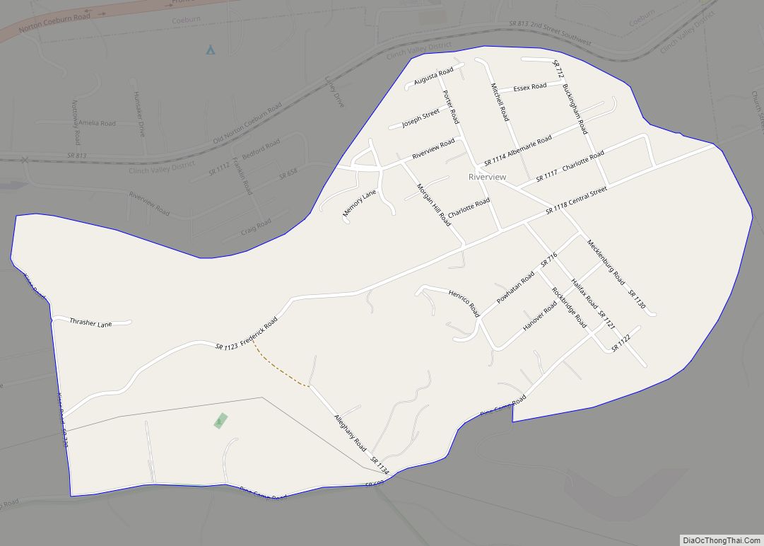
Pound Road Map

Pound city Satellite Map

Geography
Pound is located at 37°7′26″N 82°36′28″W / 37.12389°N 82.60778°W / 37.12389; -82.60778 (37.123820, -82.607859).
According to the United States Census Bureau, the town has a total area of 2.6 square miles (6.8 km), all land.
Climate
The climate in this area is characterized by relatively high temperatures and evenly distributed precipitation throughout the year. The Köppen Climate System describes the weather as humid subtropical, and uses the abbreviation Cfa.
See also
Map of Virginia State and its subdivision:- Accomack
- Albemarle
- Alexandria
- Alleghany
- Amelia
- Amherst
- Appomattox
- Arlington
- Augusta
- Bath
- Bedford
- Bedford City
- Bland
- Botetourt
- Bristol
- Brunswick
- Buchanan
- Buckingham
- Buena Vista
- Campbell
- Caroline
- Carroll
- Charles City
- Charlotte
- Charlottesville
- Chesapeake
- Chesterfield
- Clarke
- Clifton Forge City
- Colonial Heights
- Covington
- Craig
- Culpeper
- Cumberland
- Danville
- Dickenson
- Dinwiddie
- Emporia
- Essex
- Fairfax
- Fairfax City
- Falls Church
- Fauquier
- Floyd
- Fluvanna
- Franklin
- Frederick
- Fredericksburg
- Galax
- Giles
- Gloucester
- Goochland
- Grayson
- Greene
- Greensville
- Halifax
- Hampton
- Hanover
- Harrisonburg
- Henrico
- Henry
- Highland
- Hopewell
- Isle of Wight
- James City
- King and Queen
- King George
- King William
- Lancaster
- Lee
- Lexington
- Loudoun
- Louisa
- Lunenburg
- Lynchburg
- Madison
- Manassas
- Manassas Park
- Martinsville
- Mathews
- Mecklenburg
- Middlesex
- Montgomery
- Nelson
- New Kent
- Newport News
- Norfolk
- Northampton
- Northumberland
- Norton
- Nottoway
- Orange
- Page
- Patrick
- Petersburg
- Pittsylvania
- Poquoson
- Portsmouth
- Powhatan
- Prince Edward
- Prince George
- Prince William
- Pulaski
- Radford
- Rappahannock
- Richmond
- Roanoke
- Roanoke City
- Rockbridge
- Rockingham
- Russell
- Salem
- Scott
- Shenandoah
- Smyth
- Southampton
- Spotsylvania
- Stafford
- Staunton
- Suffolk
- Surry
- Sussex
- Tazewell
- Virginia Beach
- Warren
- Washington
- Waynesboro
- Westmoreland
- Williamsburg
- Winchester
- Wise
- Wythe
- York
- Alabama
- Alaska
- Arizona
- Arkansas
- California
- Colorado
- Connecticut
- Delaware
- District of Columbia
- Florida
- Georgia
- Hawaii
- Idaho
- Illinois
- Indiana
- Iowa
- Kansas
- Kentucky
- Louisiana
- Maine
- Maryland
- Massachusetts
- Michigan
- Minnesota
- Mississippi
- Missouri
- Montana
- Nebraska
- Nevada
- New Hampshire
- New Jersey
- New Mexico
- New York
- North Carolina
- North Dakota
- Ohio
- Oklahoma
- Oregon
- Pennsylvania
- Rhode Island
- South Carolina
- South Dakota
- Tennessee
- Texas
- Utah
- Vermont
- Virginia
- Washington
- West Virginia
- Wisconsin
- Wyoming