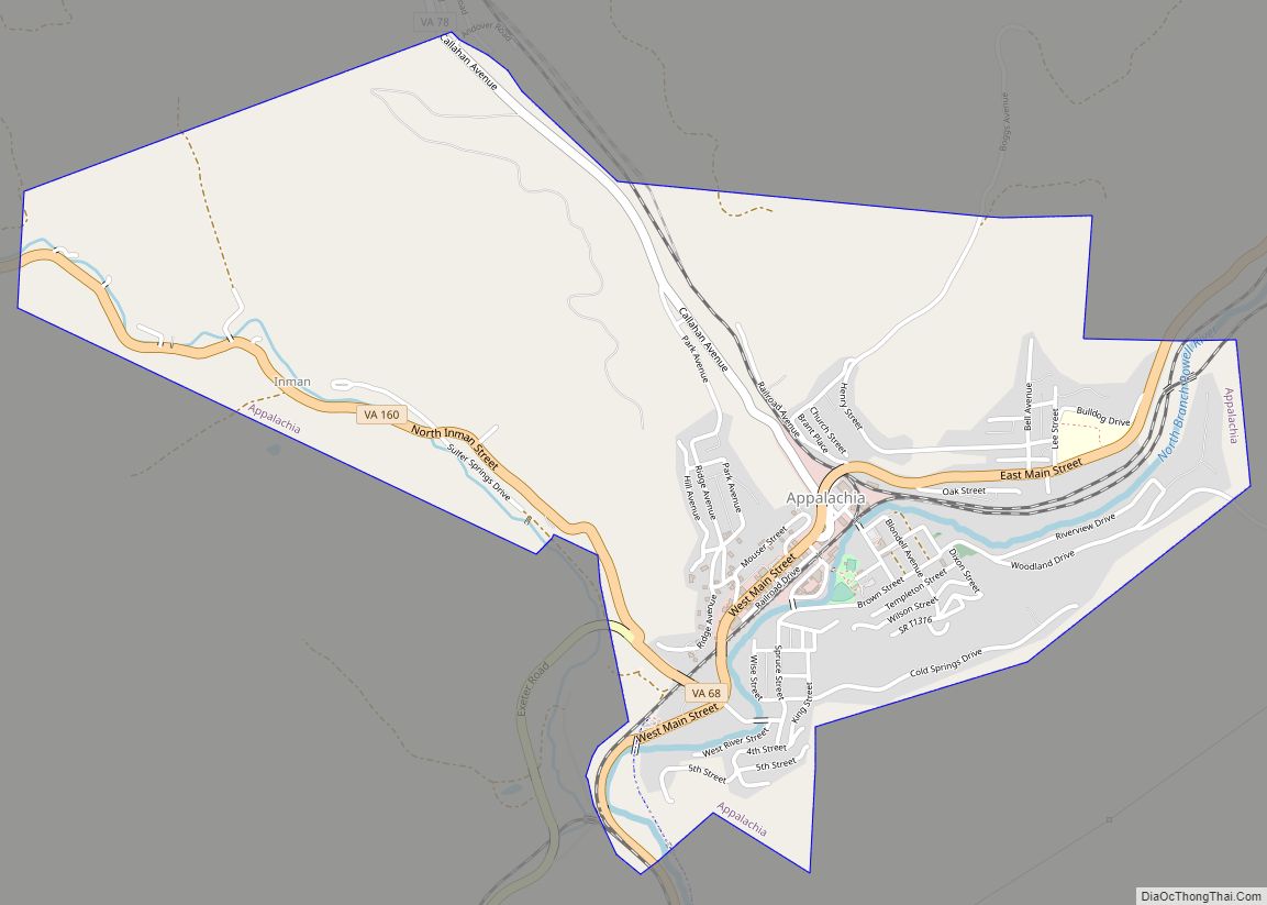
Appalachia is a town in Wise County, Virginia, United States. The population was 1,754 at the 2010 census.
| Name: | Appalachia town |
|---|---|
| LSAD Code: | 43 |
| LSAD Description: | town (suffix) |
| State: | Virginia |
| County: | Wise County |
| Elevation: | 1,647 ft (502 m) |
| Total Area: | 2.31 sq mi (5.97 km²) |
| Land Area: | 2.28 sq mi (5.92 km²) |
| Water Area: | 0.02 sq mi (0.06 km²) |
| Total Population: | 1,754 |
| Population Density: | 671.19/sq mi (259.10/km²) |
| ZIP code: | 24216 |
| Area code: | 276 |
| FIPS code: | 5102040 |
| GNISfeature ID: | 1481331 |
| Website: | townofappalachiava.us |
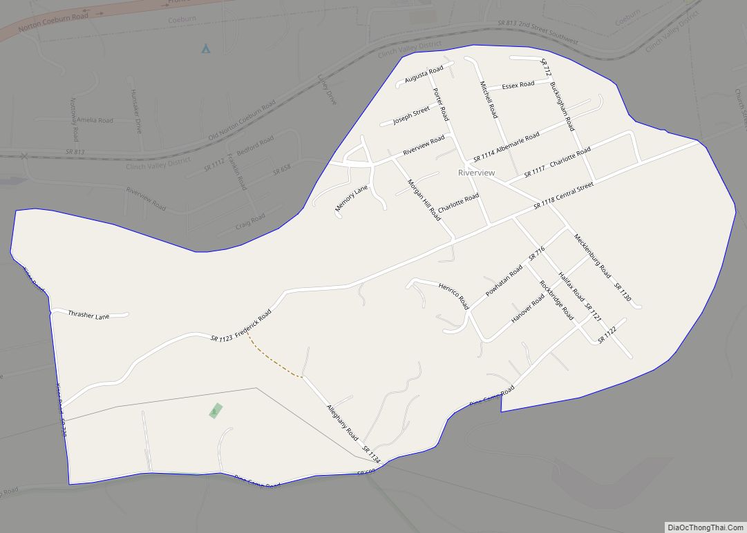
Online Interactive Map
Click on ![]() to view map in "full screen" mode.
to view map in "full screen" mode.
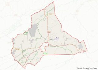
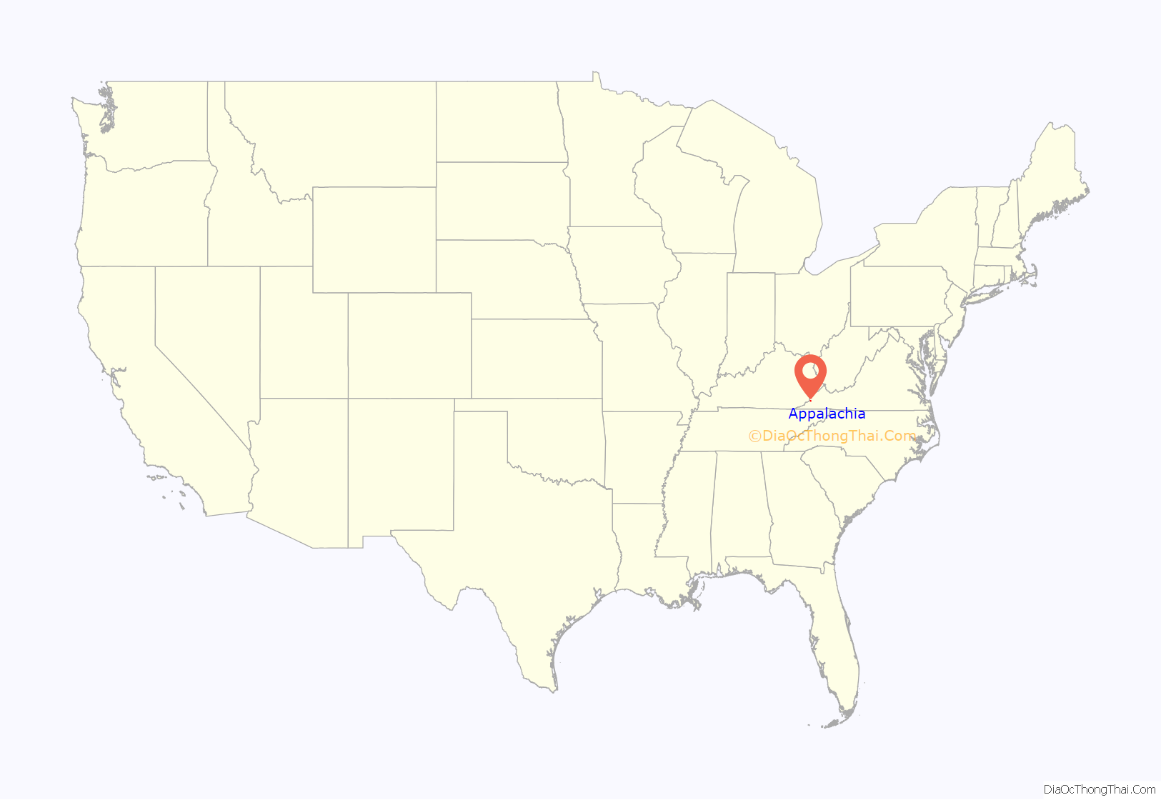
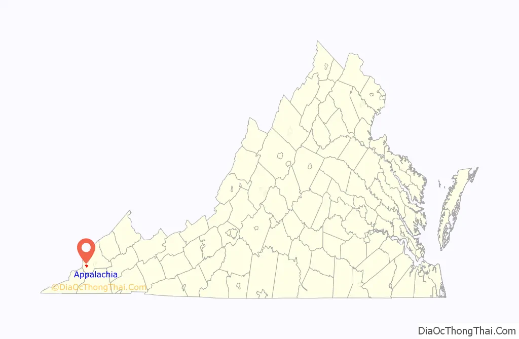
Appalachia location map. Where is Appalachia town?
History
The Appalachia post office was established in 1898. The community was named for the surrounding Appalachian Mountains. The Derby Historic District, Kelly View School, and Stonega Historic District are listed on the National Register of Historic Places.
Appalachia was formerly home to three railroad companies. The “big three” were the Southern Railway, Louisville & Nashville, and the Interstate Railroad. As of 2022, the Norfolk Southern Railroad is the only operating line through Appalachia, hauling only coal and the occasional ammonium nitrate and limestone aggregate product. These hoppers can be easily identified behind Main Street with the markings of the former railroads painted on the ribbed sides, most reading “Southern” and some “Norfolk & Western”.
In 2006, fourteen Appalachia residents, including mayor Ben Cooper and the police chief, were indicted on charges relating to an electoral fraud conspiracy. Cooper was convicted of intercepting absentee ballots and changing the votes on them; buying votes with beer, cigarettes, and pork rinds; and conspiring with his appointee, the police chief, to steal money and other items from residents, among 243 felony charges. Ten other conspirators pleaded guilty and received fines or short jail sentences.
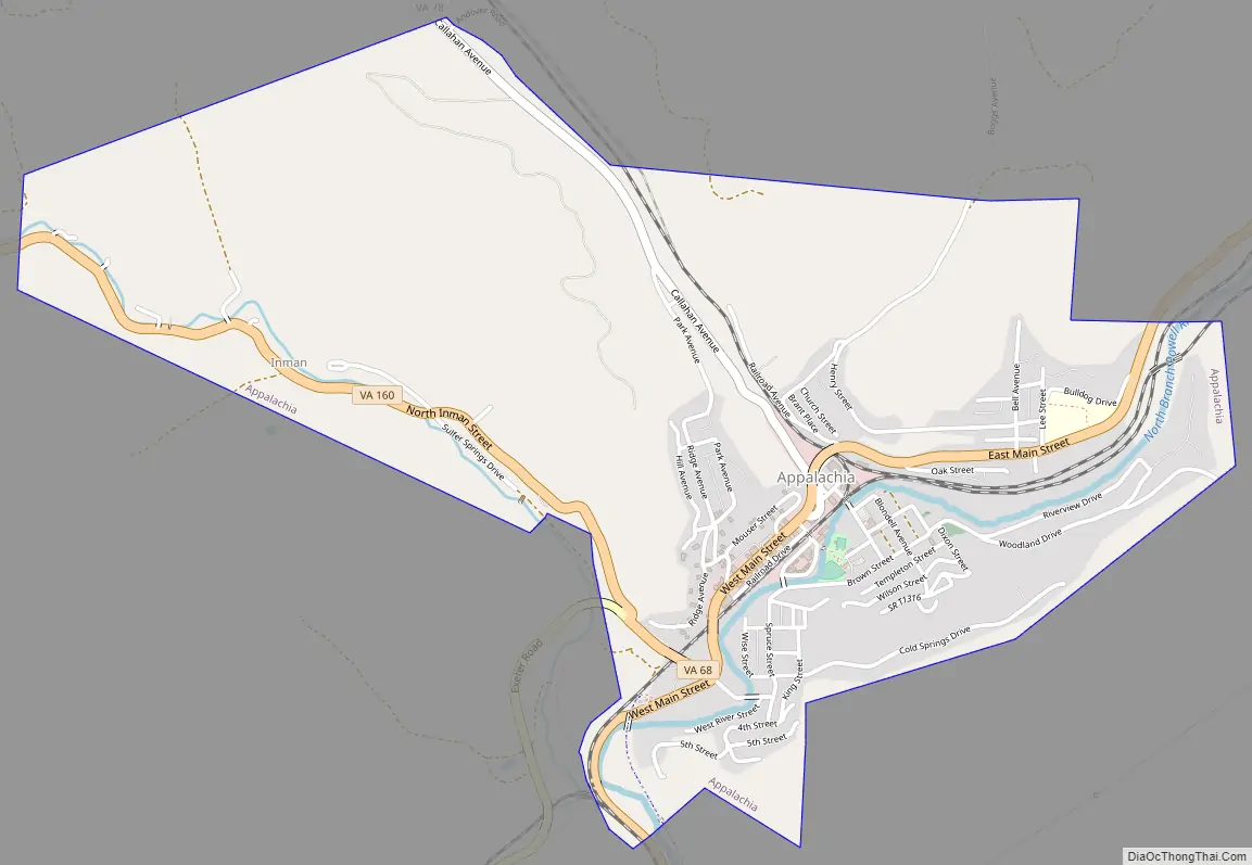
Appalachia Road Map
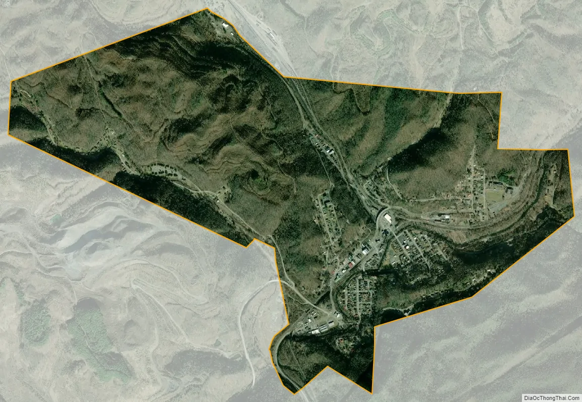
Appalachia city Satellite Map
Geography
Appalachia is located at 36°54′23″N 82°47′8″W / 36.90639°N 82.78556°W / 36.90639; -82.78556 (36.906505, −82.785560).
According to the United States Census Bureau, the town has a total area of 2.3 square miles (6.0 km), all of it land.
Appalachia is surrounded by numerous coal camp communities, including Andover, Arno, Derby, Imboden, Exeter, Dunbar, Pardee, Osaka, Roda, and Stonega. Many of these communities formed at the beginning of the 20th-century with the arrival of the mining and railroad industry.
See also
Map of Virginia State and its subdivision:- Accomack
- Albemarle
- Alexandria
- Alleghany
- Amelia
- Amherst
- Appomattox
- Arlington
- Augusta
- Bath
- Bedford
- Bedford City
- Bland
- Botetourt
- Bristol
- Brunswick
- Buchanan
- Buckingham
- Buena Vista
- Campbell
- Caroline
- Carroll
- Charles City
- Charlotte
- Charlottesville
- Chesapeake
- Chesterfield
- Clarke
- Clifton Forge City
- Colonial Heights
- Covington
- Craig
- Culpeper
- Cumberland
- Danville
- Dickenson
- Dinwiddie
- Emporia
- Essex
- Fairfax
- Fairfax City
- Falls Church
- Fauquier
- Floyd
- Fluvanna
- Franklin
- Frederick
- Fredericksburg
- Galax
- Giles
- Gloucester
- Goochland
- Grayson
- Greene
- Greensville
- Halifax
- Hampton
- Hanover
- Harrisonburg
- Henrico
- Henry
- Highland
- Hopewell
- Isle of Wight
- James City
- King and Queen
- King George
- King William
- Lancaster
- Lee
- Lexington
- Loudoun
- Louisa
- Lunenburg
- Lynchburg
- Madison
- Manassas
- Manassas Park
- Martinsville
- Mathews
- Mecklenburg
- Middlesex
- Montgomery
- Nelson
- New Kent
- Newport News
- Norfolk
- Northampton
- Northumberland
- Norton
- Nottoway
- Orange
- Page
- Patrick
- Petersburg
- Pittsylvania
- Poquoson
- Portsmouth
- Powhatan
- Prince Edward
- Prince George
- Prince William
- Pulaski
- Radford
- Rappahannock
- Richmond
- Roanoke
- Roanoke City
- Rockbridge
- Rockingham
- Russell
- Salem
- Scott
- Shenandoah
- Smyth
- Southampton
- Spotsylvania
- Stafford
- Staunton
- Suffolk
- Surry
- Sussex
- Tazewell
- Virginia Beach
- Warren
- Washington
- Waynesboro
- Westmoreland
- Williamsburg
- Winchester
- Wise
- Wythe
- York
- Alabama
- Alaska
- Arizona
- Arkansas
- California
- Colorado
- Connecticut
- Delaware
- District of Columbia
- Florida
- Georgia
- Hawaii
- Idaho
- Illinois
- Indiana
- Iowa
- Kansas
- Kentucky
- Louisiana
- Maine
- Maryland
- Massachusetts
- Michigan
- Minnesota
- Mississippi
- Missouri
- Montana
- Nebraska
- Nevada
- New Hampshire
- New Jersey
- New Mexico
- New York
- North Carolina
- North Dakota
- Ohio
- Oklahoma
- Oregon
- Pennsylvania
- Rhode Island
- South Carolina
- South Dakota
- Tennessee
- Texas
- Utah
- Vermont
- Virginia
- Washington
- West Virginia
- Wisconsin
- Wyoming