Worth County is a county located in the south-central portion of the U.S. state of Georgia.
As of the 2020 census, the population was 20,784. The county seat is Sylvester.
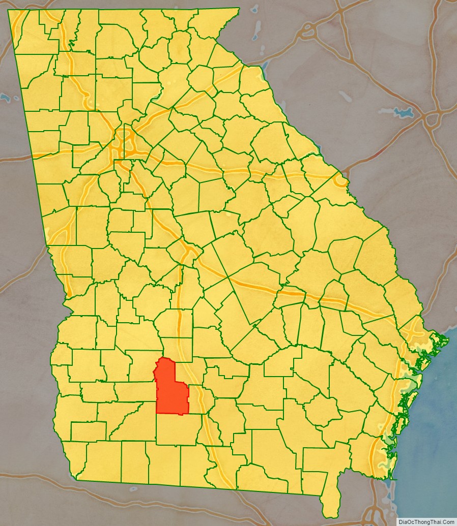
Worth County is included in the Albany, GA Metropolitan Statistical Area.
| Name: | Worth County |
|---|---|
| FIPS code: | 13-321 |
| State: | Georgia |
| Founded: | 1853 |
| Named for: | William J. Worth |
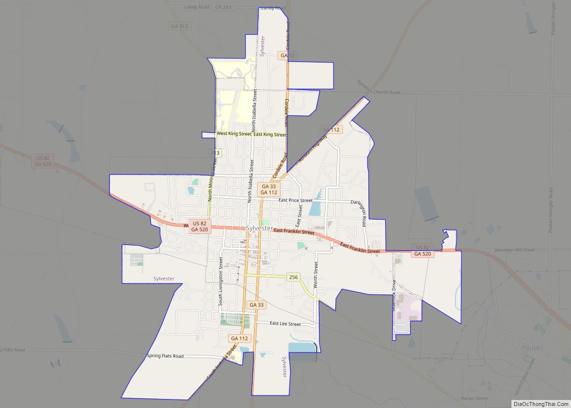
| Seat: | Sylvester |
| Largest city: | Sylvester |
| Total Area: | 575 sq mi (1,490 km²) |
| Land Area: | 571 sq mi (1,480 km²) |
| Total Population: | 20,784 |
| Population Density: | 36/sq mi (14/km²) |
| Time zone: | UTC−5 (Eastern) |
| Summer Time Zone (DST): | UTC−4 (EDT) |
| Website: | worthcountyboc.com |
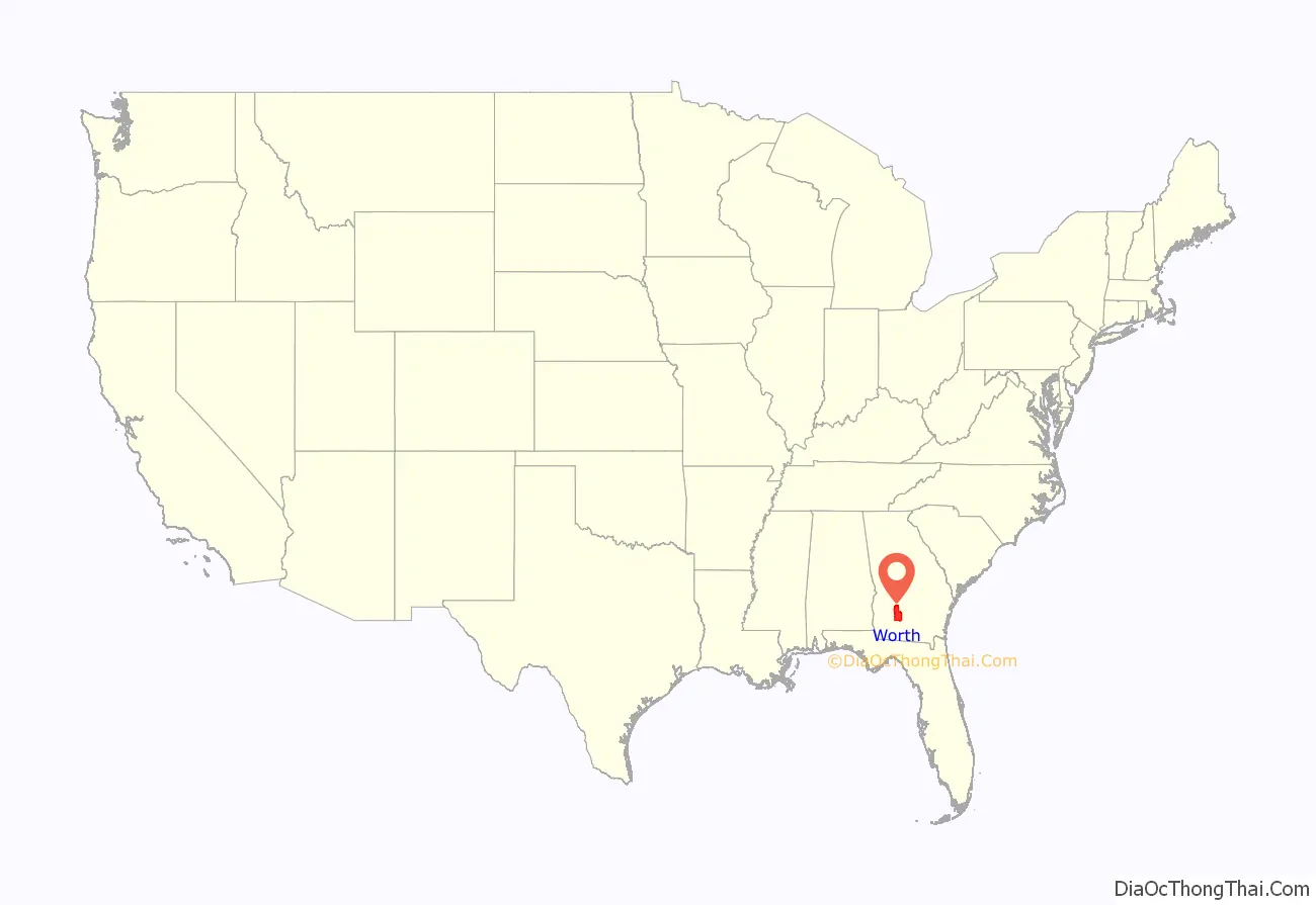
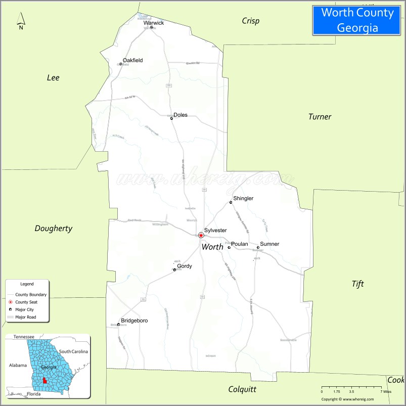
Worth County location map. Where is Worth County?
History
Worth County was created from Dooly and Irwin counties on December 20, 1853, by an act of the Georgia General Assembly, becoming Georgia’s 106th county. It was named for Major General William J. Worth of New York.
In 1905, portions of Worth County were used to create Tift and Turner counties.
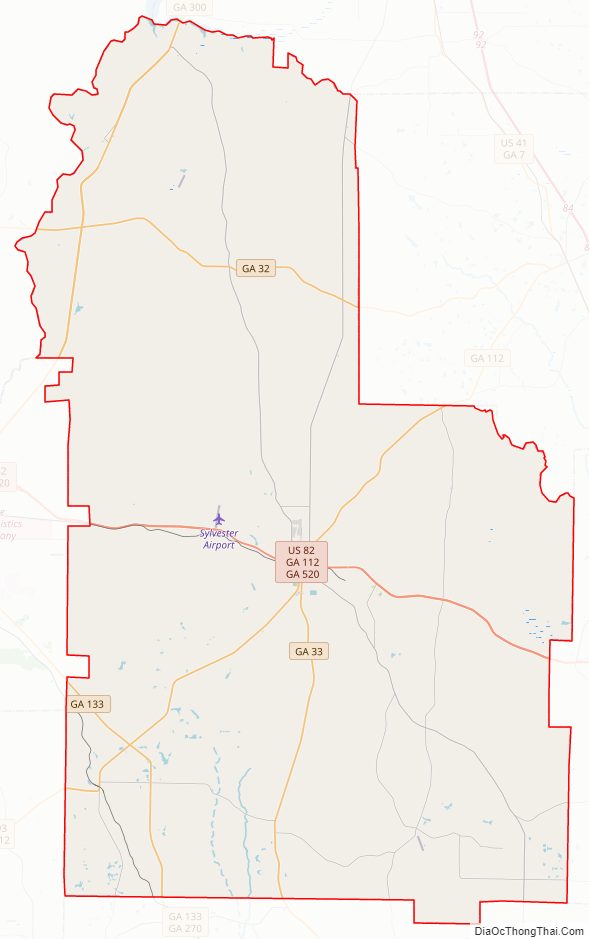
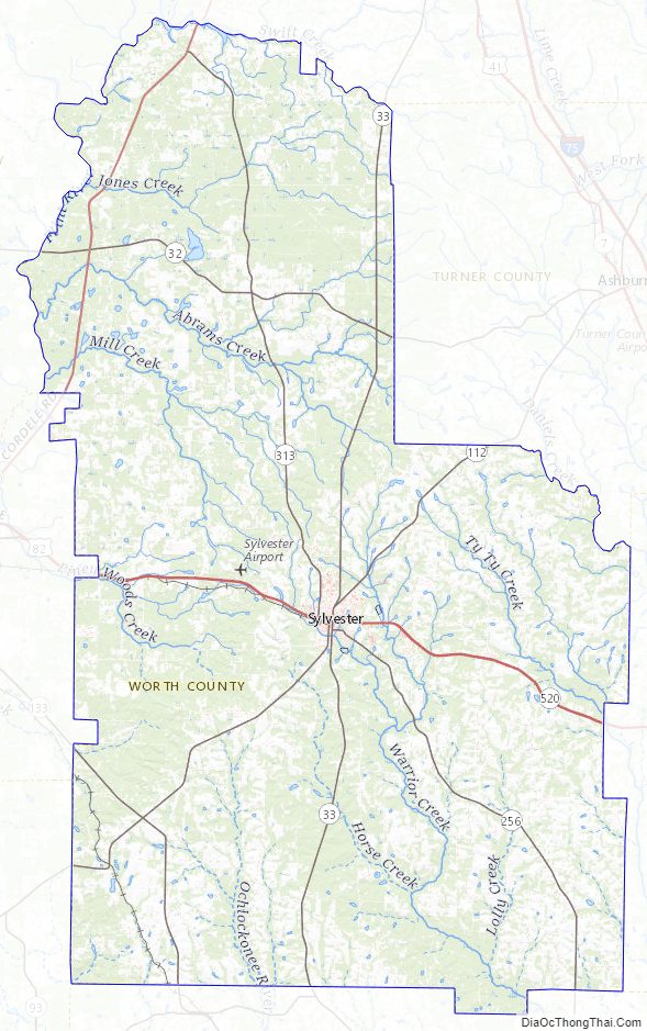
Worth County Road Map
Geography
According to the U.S. Census Bureau, the county has a total area of 575 square miles (1,490 km), of which 571 square miles (1,480 km) is land and 4.1 square miles (11 km) (0.7%) is water.
The eastern third of Worth County, from west of State Route 33 heading east, is located in the Little River sub-basin of the Suwannee River basin. The northern third of the county is located in the Middle Flint River sub-basin of the ACF River Basin (Apalachicola-Chattahoochee-Flint River Basin). A narrow portion of the western edge of Worth County is located in the Lower Flint River sub-basin of the same ACF River basin. Finally, a portion of the southwest of the county, north of Doerun, is located in the Upper Ochlockonee River sub-basin of the larger Ochlockonee River basin.
Major highways
- U.S. Route 82
- State Route 32
- State Route 33
- State Route 112
- State Route 133
- State Route 256
- State Route 300
- State Route 313
- State Route 520
Adjacent counties
- Crisp County – north
- Tift County – east
- Turner County – northeast
- Colquitt County – south
- Mitchell County – southwest
- Lee County – northwest
- Dougherty County – west
Worth County Topographic Map
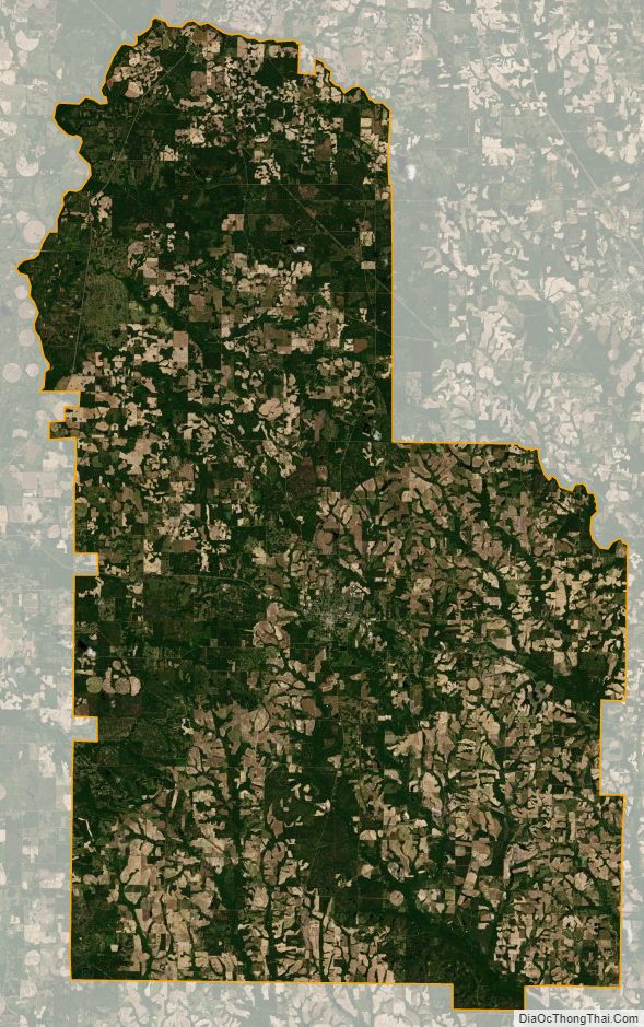
Worth County Satellite Map
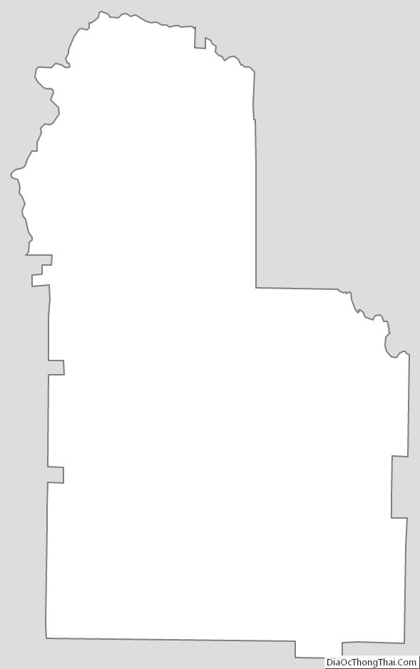
Worth County Outline Map