Yadkin County is located in the U.S. state of North Carolina. As of the 2020 census, the population was 37,214. Its county seat is Yadkinville. Yadkin County is included in the Winston-Salem, NC Metropolitan Statistical Area, which is also included in the Greensboro-Winston-Salem-High Point, NC Combined Statistical Area.
| Name: | Yadkin County |
|---|---|
| FIPS code: | 37-197 |
| State: | North Carolina |
| Founded: | 1850 |
| Named for: | Yadkin River |
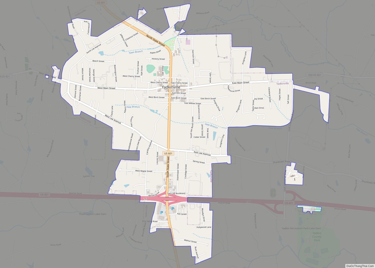
| Seat: | Yadkinville |
| Largest town: | Yadkinville |
| Total Area: | 338 sq mi (880 km²) |
| Land Area: | 335 sq mi (870 km²) |
| Total Population: | 37,192 |
| Population Density: | 111/sq mi (43/km²) |
| Time zone: | UTC−5 (Eastern) |
| Summer Time Zone (DST): | UTC−4 (EDT) |
| Website: | www.yadkincountync.gov |
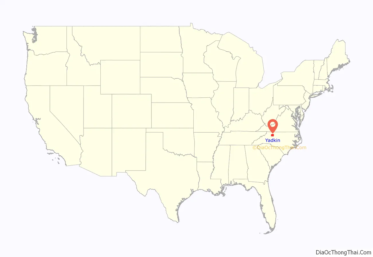
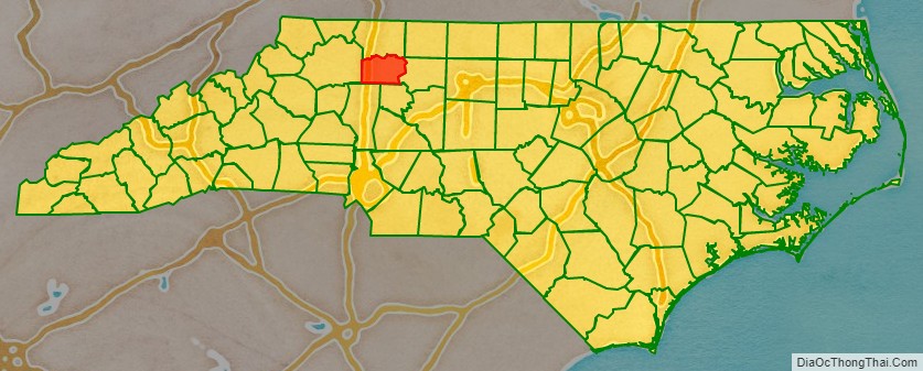
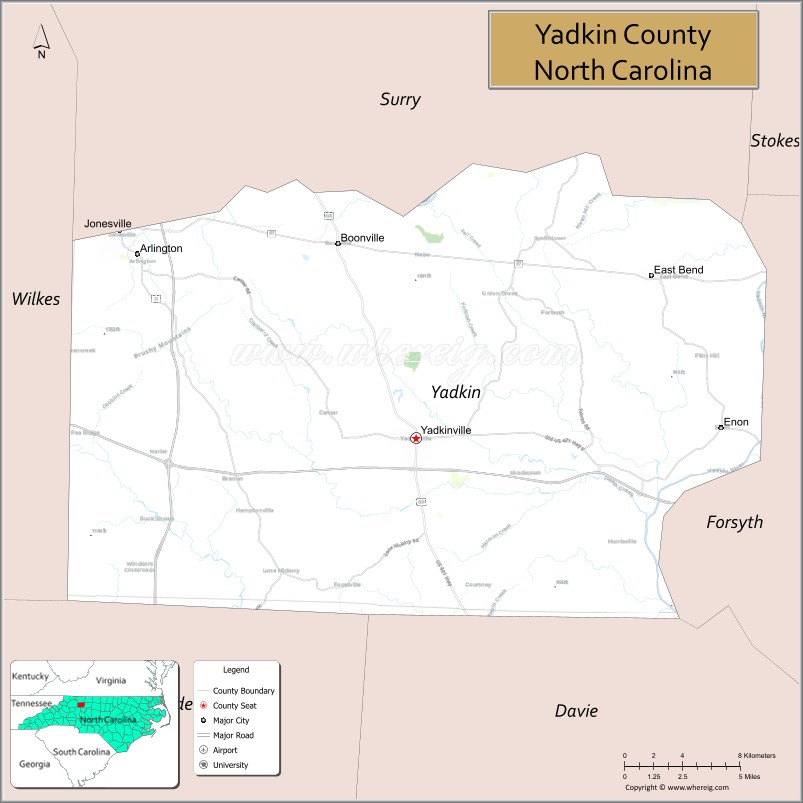
Yadkin County location map. Where is Yadkin County?
History
The county was formed in 1850 from the part of Surry County south of the Yadkin River, for which it was named.
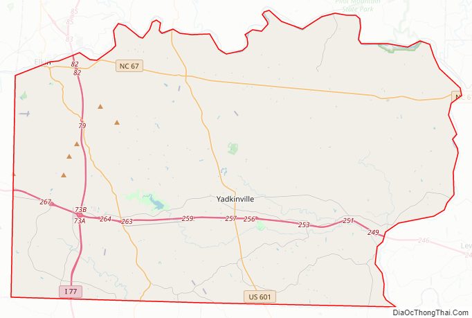
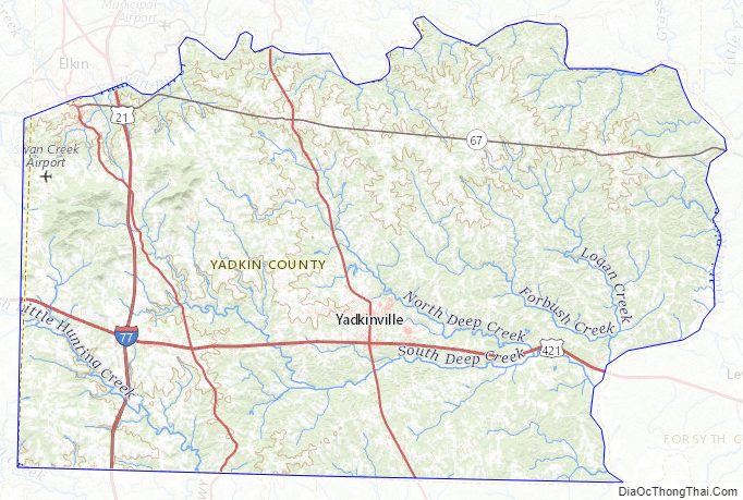
Yadkin County Road Map
Geography
According to the U.S. Census Bureau, the county has a total area of 338 square miles (880 km), of which 335 square miles (870 km) is land and 2.7 square miles (7.0 km) (0.8%) is water.
Yadkin County is located in the Piedmont region of central North Carolina. The Piedmont consists of rolling farmlands frequently broken by hills or valleys formed by streams. The extreme western section of the county contains the Brushy Mountains, a deeply eroded spur of the much higher Blue Ridge Mountains to the west. Yadkin County marks the eastern end of the Brushy Mountains range; none of the peaks rise more than 400–500 feet above the surrounding countryside. The highest point in the county is Star Peak near Jonesville, at 1,590 feet above sea level.
The Yadkin River forms the county’s northern and eastern borders. The county takes its name from the river.
State and local protected areas
- Historic Richmond Hill Nature Park
- Yadkinville Community Park
Major water bodies
- Beaverdam Creek
- Deep Creek
- Dobbins Creek
- Forbush Creek
- Harmon Creek
- Little Forbush Creek
- Logan Creek
- Miller Creek
- North Deep Creek
- South Deep Creek
- South Yadkin River
- Turner Creek
- Yadkin River
Adjacent counties
- Surry County – north
- Forsyth County – east
- Davie County – south-southeast
- Iredell County – south-southwest
- Wilkes County – west
Major highways
- I-77
- Future I-685 (Concurrency with US 421)
- US 21
- US 21 Bus.
- US 421
- US 601
- NC 67
Two major four-lane highways serve Yadkin County. Interstate 77 runs north to south in the western part of the county and U.S. Highway 421 runs east to west. The two highways intersect near Hamptonville. The county also is served by U.S. Highway 21, which runs mostly parallel with I-77, and U.S. Highway 601, which runs through Yadkinville and Boonville. North Carolina Highway 67 is another popular artery that links the northern part of the county with Jonesville-Elkin and Winston-Salem.
Airports
Commercial flights are available through Piedmont Triad International Airport and Charlotte Douglas International Airport. Two private airports are located in the county, Swan Creek near Jonesville and Lone Hickory near Yadkinville. One additional airport is located in Boonville on Baptist Church Road. It recently housed NC Baptist Hospital’s AirCare II during a transitional period.
Public transportation
Beginning in 2006, the Piedmont Authority for Regional Transportation (PART) began offering limited bus service between Boone, North Carolina and Greensboro, North Carolina as part of its US 421 Mountaineer Express. The buses make stops east and west in Yadkinville.
Yadkin Valley Economic Development District Inc. (YVEDDI), a community action agency based in Boonville, operates a multi-county rural public transportation system.
Yadkin County Topographic Map
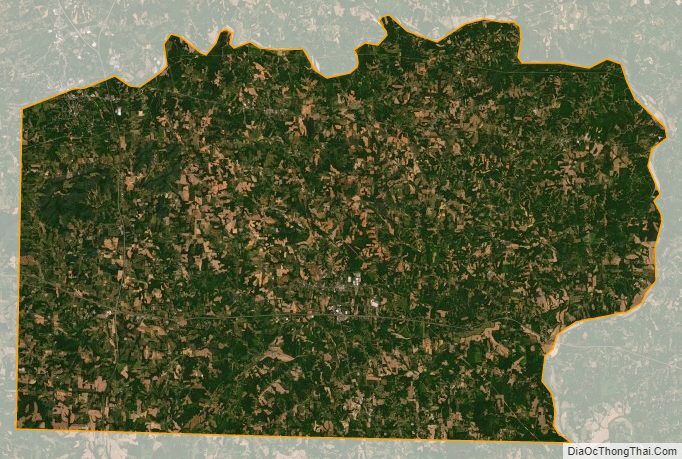
Yadkin County Satellite Map
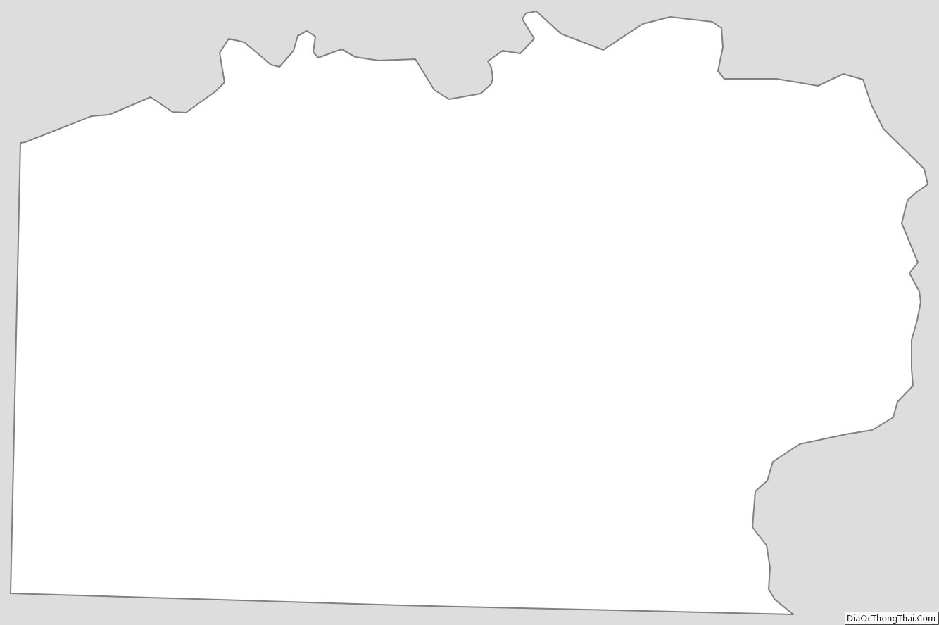
Yadkin County Outline Map