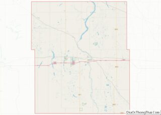
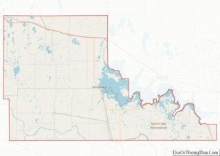
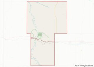
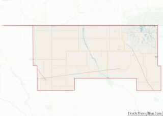
Adams County is a county in the U.S. state of North Dakota. As of the 2020 census, the population was 2,200. The county seat is Hettinger. The county was created on April 17, 1907, and organized one week later. It was named for John Quincy Adams (1848–1919), a railroad official for the Milwaukee Road Railroad and distant relative of sixth U.S. President John Quincy Adams (1767–1848).
| Name: | Adams County |
|---|---|
| FIPS code: | 38-001 |
| State: | North Dakota |
| Founded: | 1885 |
| Seat: | Hettinger |
| Largest city: | Hettinger |
| Total Area: | 989 sq mi (2,560 km²) |
| Land Area: | 988 sq mi (2,560 km²) |
| Total Population: | 2,200 |
| Population Density: | 2.2/sq mi (0.86/km²) |
| Time zone: | UTC−7 (Mountain) |
| Summer Time Zone (DST): | UTC−6 (MDT) |
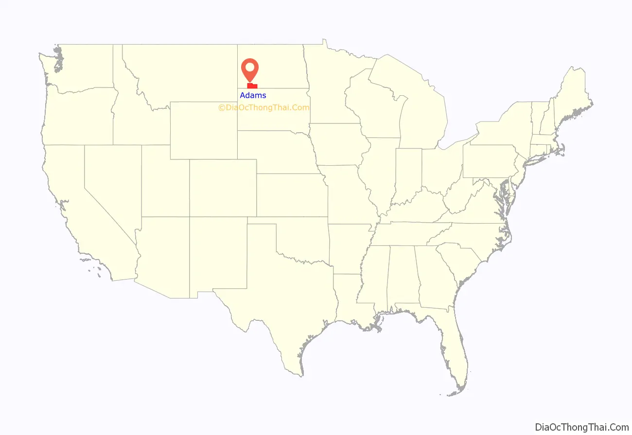
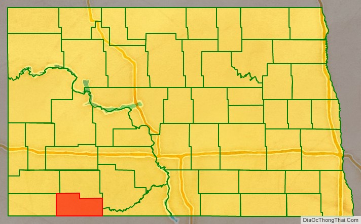
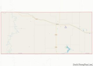
Adams County location map. Where is Adams County?
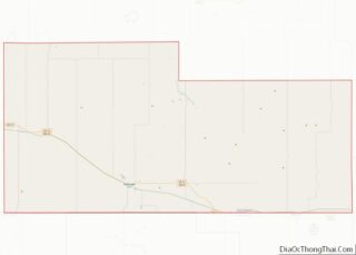
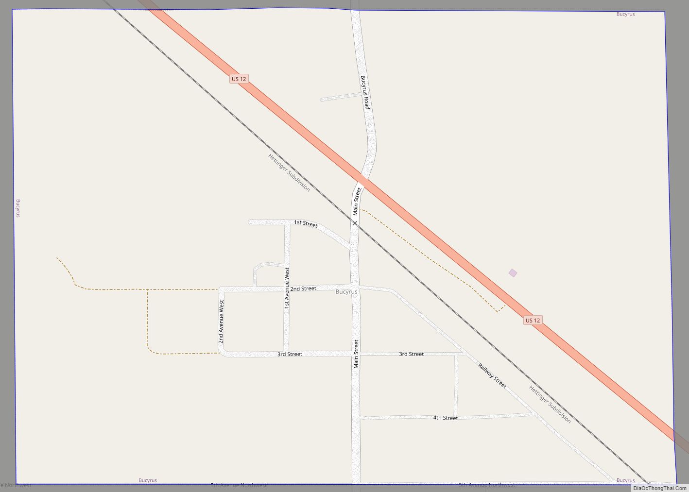
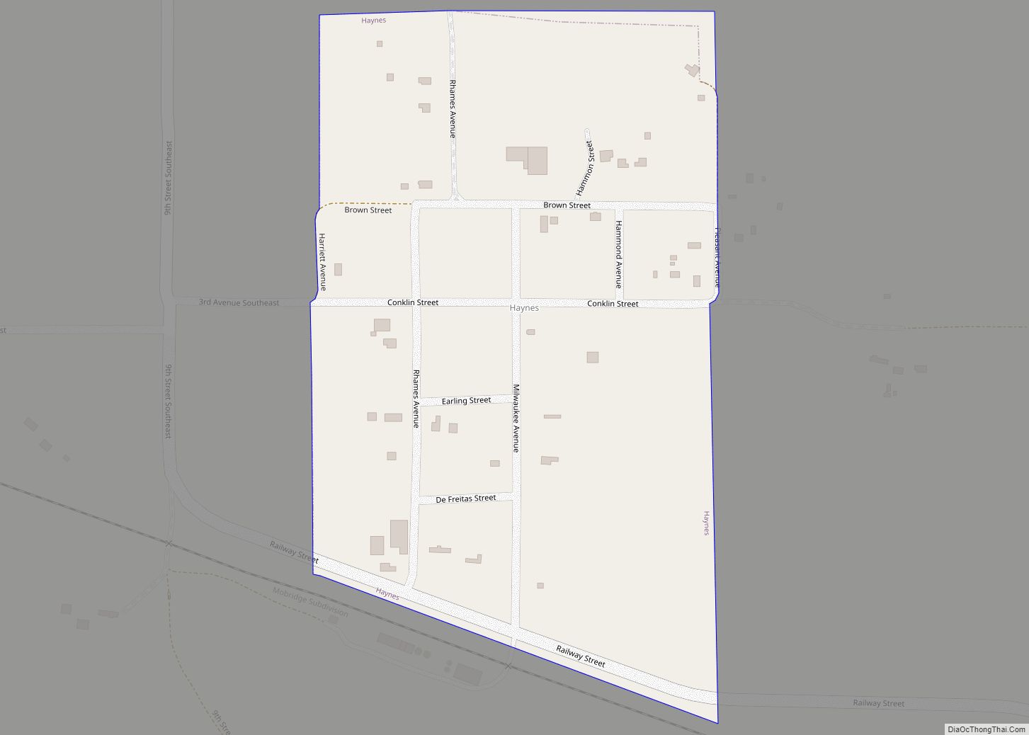
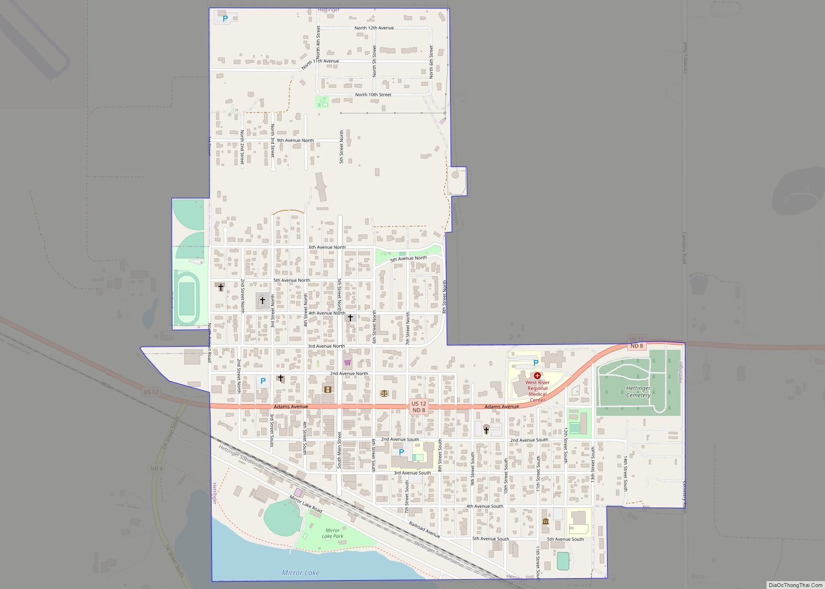
Adams County Road Map
Geography
Adams County lies on the south line of North Dakota. Its south boundary line abuts the north boundary line of the state of South Dakota. Its terrain consists of semi-arid low rolling hills. Its terrain generally slopes eastward, and its highest point is on its upper west boundary line, at 3,002′ (915m) ASL. The county has a total area of 989 square miles (2,560 km), of which 988 square miles (2,560 km) is land and 1.1 square miles (2.8 km) (0.1%) is water.
Adjacent counties
- Hettinger County – north
- Grant County – northeast
- Sioux County – east
- Perkins County, South Dakota – south
- Harding County, South Dakota – southwest
- Bowman County – west
- Slope County – northwest
Major highways
- U.S. Highway 12
- North Dakota Highway 8
- North Dakota Highway 22
Protected areas
- North Lemmon Lake State Game Management Area
Lakes
- North Lemmon Lake
- Mirror Lake
