Hettinger (/ˈhɛtɪŋɡər/ HET-ing-gər) is a city in, and the county seat of, Adams County, North Dakota, United States. The population was 1,074 at the 2020 census.
North Dakota State University operates a livestock research station near Hettinger, which often partners with South Dakota State University’s Antelope Range and Livestock Research Station for sheep research.
| Name: | Hettinger city |
|---|---|
| LSAD Code: | 25 |
| LSAD Description: | city (suffix) |
| State: | North Dakota |
| County: | Adams County |
| Founded: | 1907 |
| Incorporated: | 1908 |
| Elevation: | 2,697 ft (822 m) |
| Total Area: | 0.86 sq mi (2.22 km²) |
| Land Area: | 0.83 sq mi (2.15 km²) |
| Water Area: | 0.03 sq mi (0.08 km²) |
| Total Population: | 1,074 |
| Population Density: | 1,295.54/sq mi (500.16/km²) |
| ZIP code: | 58639 |
| Area code: | 701 |
| FIPS code: | 3837700 |
| GNISfeature ID: | 1029423 |
| Website: | hettingernd.com |
Online Interactive Map
Click on ![]() to view map in "full screen" mode.
to view map in "full screen" mode.
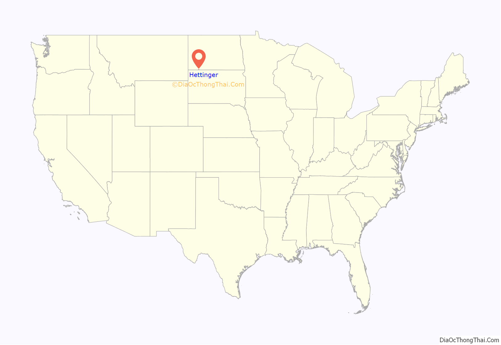
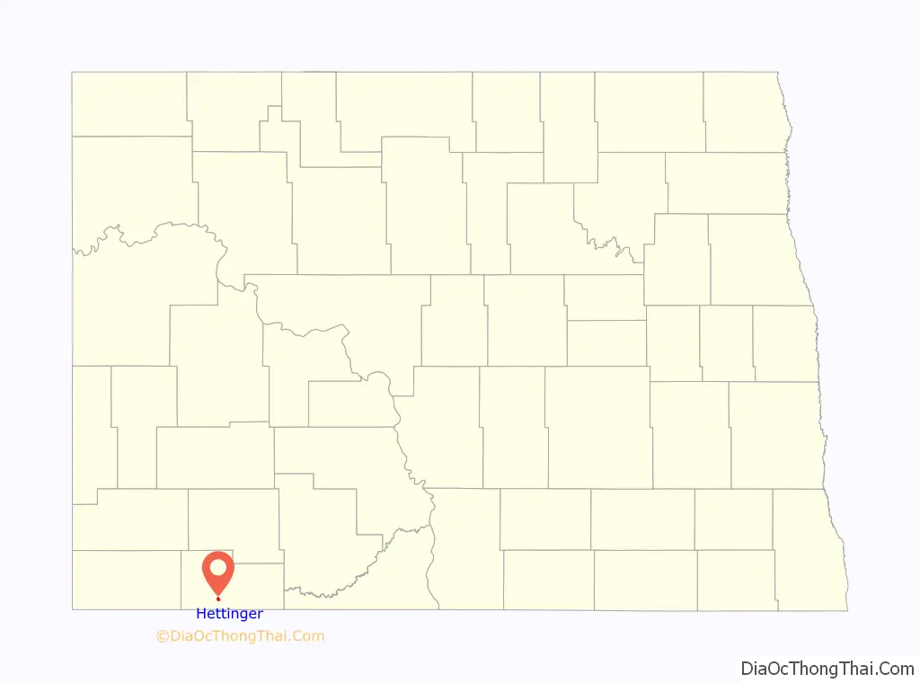
Hettinger location map. Where is Hettinger city?
History
Hettinger was founded in 1907 along the Milwaukee Road’s transcontinental rail line known as the Pacific Extension. The city and its surrounding township were named by popular demand in recognition of Hettinger County, from which Adams County was created in 1907.
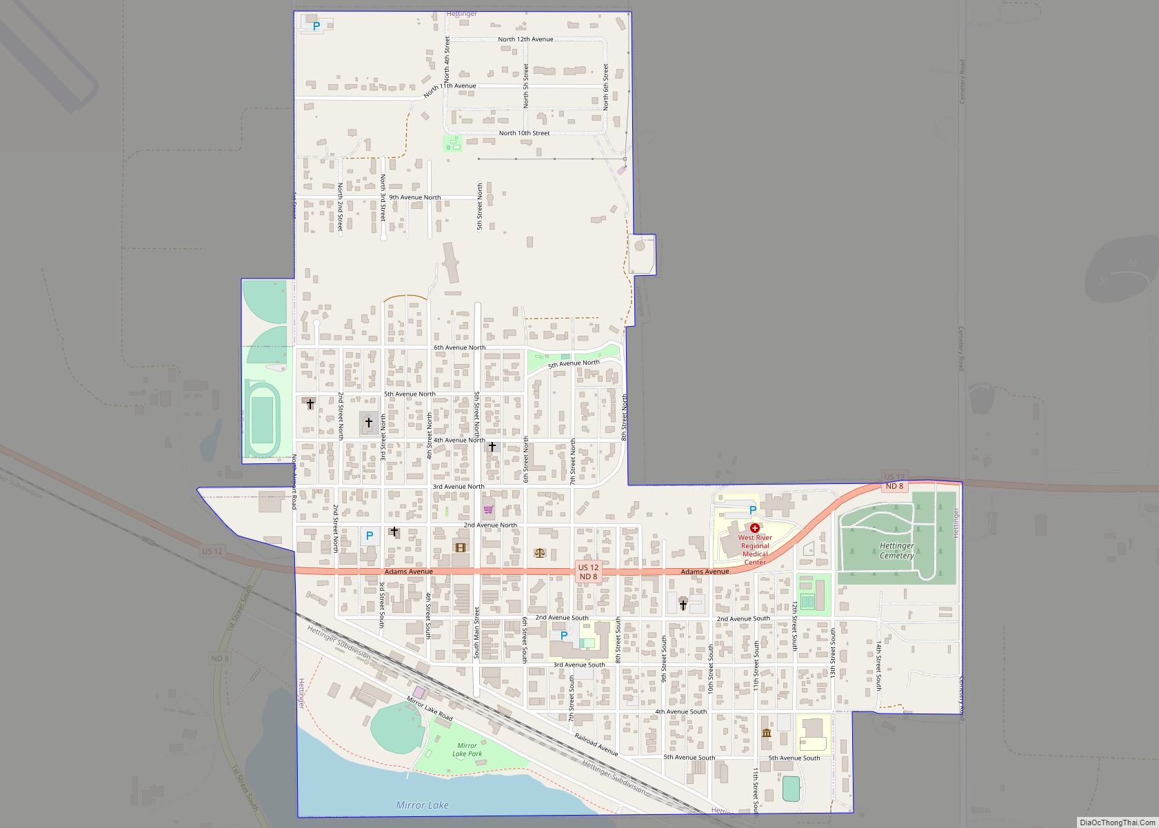
Hettinger Road Map
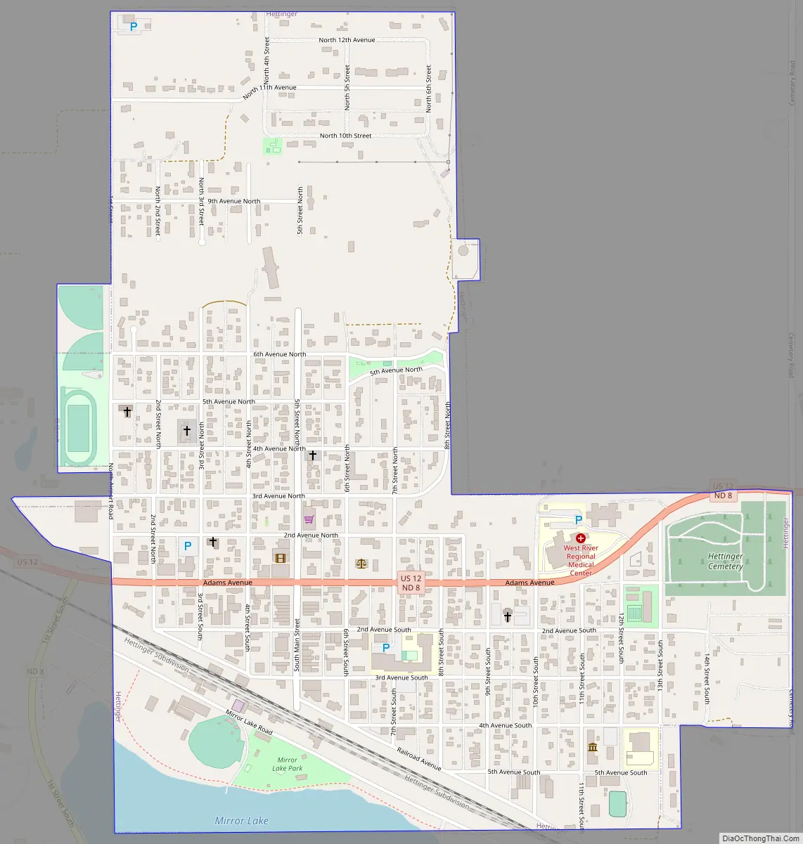
Hettinger city Satellite Map

Geography
According to the United States Census Bureau, the city has a total area of 0.86 square miles (2.23 km), of which 0.85 square miles (2.20 km) is land and 0.01 square miles (0.03 km) is water.
Climate
According to the Köppen Climate Classification system, Hettinger has a semi-arid climate, abbreviated “BSk” on climate maps.
See also
Map of North Dakota State and its subdivision:- Adams
- Barnes
- Benson
- Billings
- Bottineau
- Bowman
- Burke
- Burleigh
- Cass
- Cavalier
- Dickey
- Divide
- Dunn
- Eddy
- Emmons
- Foster
- Golden Valley
- Grand Forks
- Grant
- Griggs
- Hettinger
- Kidder
- Lamoure
- Logan
- McHenry
- McIntosh
- McKenzie
- McLean
- Mercer
- Morton
- Mountrail
- Nelson
- Oliver
- Pembina
- Pierce
- Ramsey
- Ransom
- Renville
- Richland
- Rolette
- Sargent
- Sheridan
- Sioux
- Slope
- Stark
- Steele
- Stutsman
- Towner
- Traill
- Walsh
- Ward
- Wells
- Williams
- Alabama
- Alaska
- Arizona
- Arkansas
- California
- Colorado
- Connecticut
- Delaware
- District of Columbia
- Florida
- Georgia
- Hawaii
- Idaho
- Illinois
- Indiana
- Iowa
- Kansas
- Kentucky
- Louisiana
- Maine
- Maryland
- Massachusetts
- Michigan
- Minnesota
- Mississippi
- Missouri
- Montana
- Nebraska
- Nevada
- New Hampshire
- New Jersey
- New Mexico
- New York
- North Carolina
- North Dakota
- Ohio
- Oklahoma
- Oregon
- Pennsylvania
- Rhode Island
- South Carolina
- South Dakota
- Tennessee
- Texas
- Utah
- Vermont
- Virginia
- Washington
- West Virginia
- Wisconsin
- Wyoming