Perkins County is a county in the U.S. state of South Dakota. As of the 2020 census, the population was 2,835. Its county seat is Bison. The county was established in 1908 and organized in 1909. It was named for Sturgis, South Dakota, official Henry E. Perkins.
| Name: | Perkins County |
|---|---|
| FIPS code: | 46-105 |
| State: | South Dakota |
| Founded: | 1909 |
| Named for: | Henry E. Perkins |
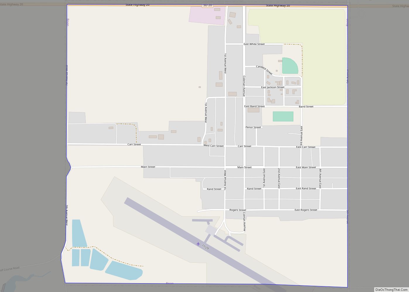
| Seat: | Bison |
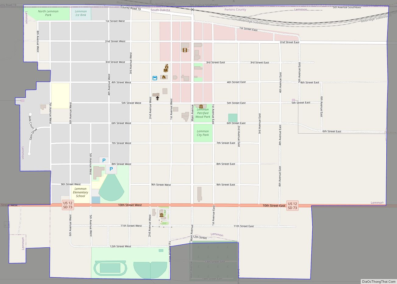
| Largest city: | Lemmon |
| Total Area: | 2,891 sq mi (7,490 km²) |
| Land Area: | 2,870 sq mi (7,400 km²) |
| Total Population: | 2,835 |
| Population Density: | 0.98/sq mi (0.38/km²) |
| Time zone: | UTC−7 (Mountain) |
| Summer Time Zone (DST): | UTC−6 (MDT) |
| Website: | www.perkinscounty.org |
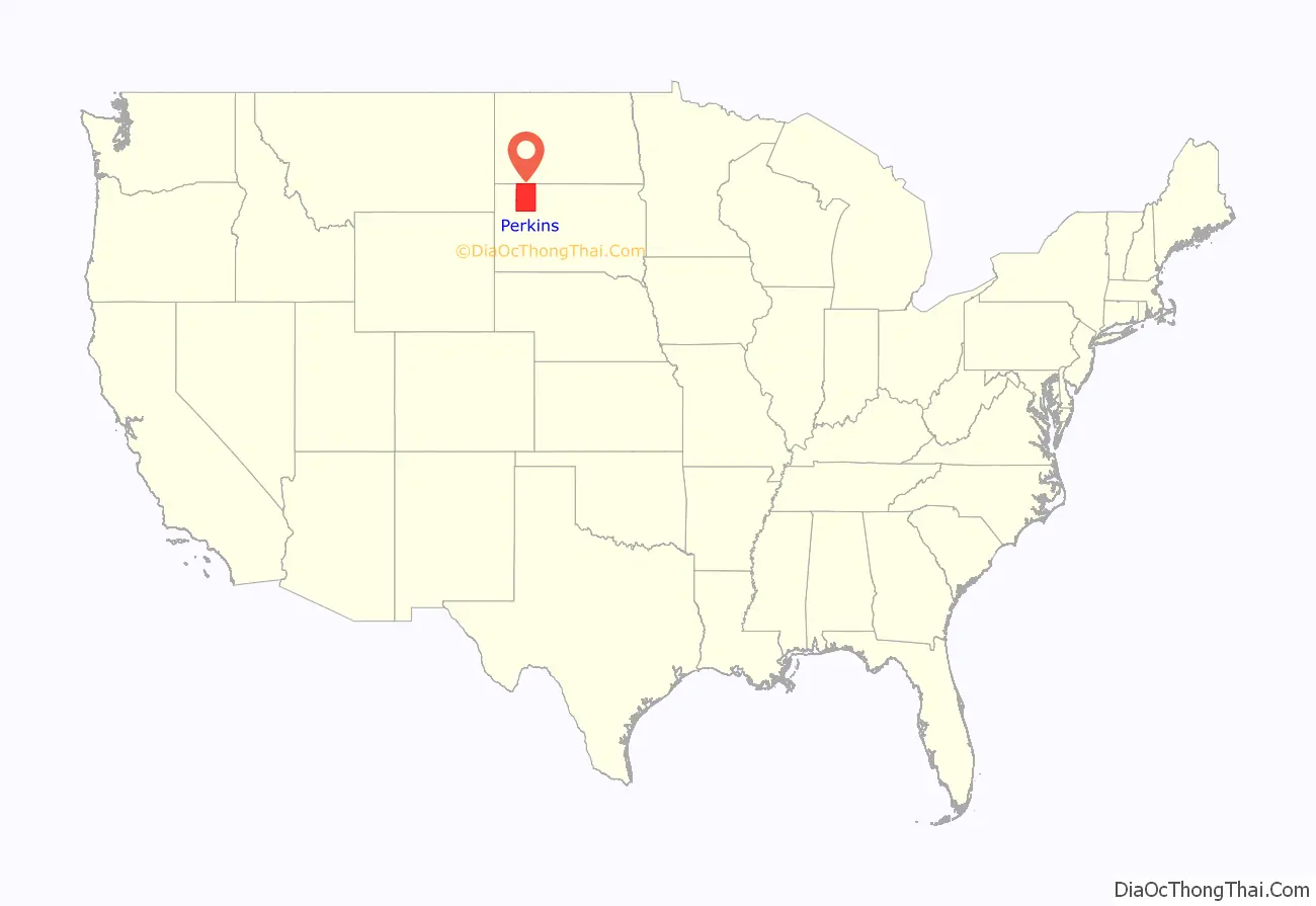
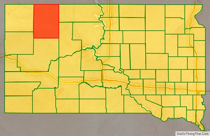
Perkins County location map. Where is Perkins County?
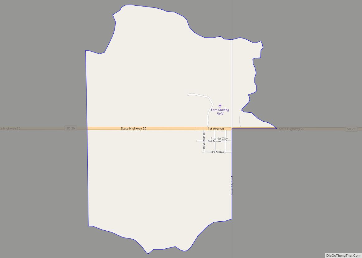
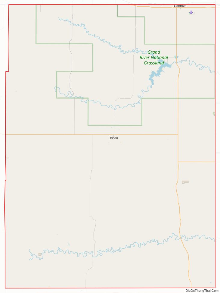
Perkins County Road Map
Geography
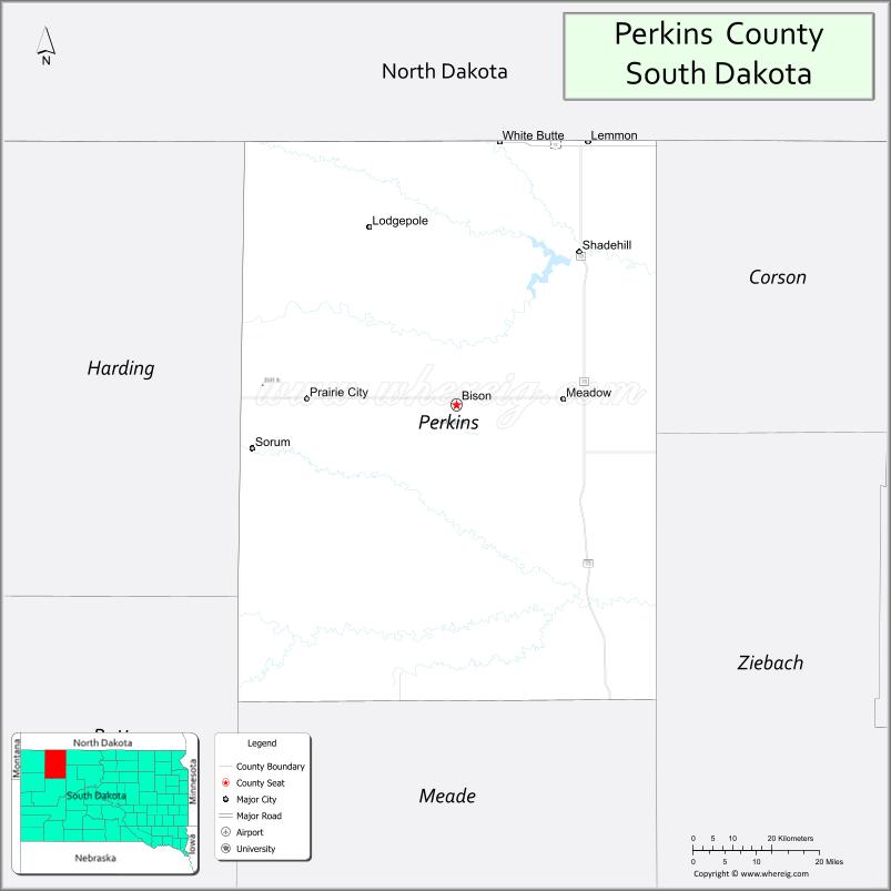
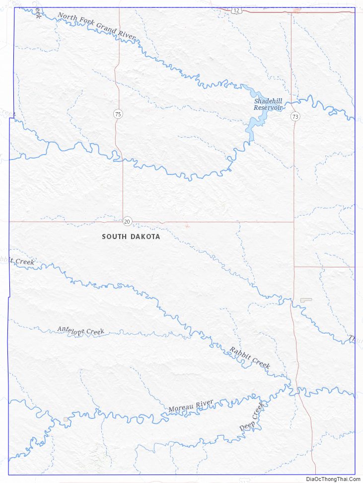
Perkins County lies on the north edge of South Dakota. Its north boundary line abuts the south boundary line of the state of North Dakota. The Grand River flows eastward through the upper part of the county, and the Moreau River flows eastward through the lower part of the county. Shadehill Reservoir is a large impoundment on the Grand River in the county.
Perkins County terrain consists of semi-arid rolling hills, carved by drainage creeks, sparsely dedicated to agriculture. The terrain slopes to the east; its highest point is on its lower west boundary line, at 3,097′ (944m) ASL. The county has a total area of 2,890 square miles (7,500 km), of which 2,870 square miles (7,400 km) is land and 20 square miles (52 km) (0.7%) is water. It is the second-largest county by area in South Dakota. Meade County is the state’s largest county by area.
Perkins County came to media attention in 2009 when Stephen Von Worley calculated that it was the site of the “McFarthest Spot” — the point in the continental United States that is most distant from a McDonald’s restaurant: 107 mi (172 km) as the crow flies and 145 mi (233 km) by car. However, it was updated in 2010 and the spot was updated to the middle of the Nevada Desert.
Major highways
- U.S. Highway 12
- South Dakota Highway 20
- South Dakota Highway 73
- South Dakota Highway 75
Adjacent counties
- Adams County, North Dakota – north
- Corson County – east
- Ziebach County – southeast
- Meade County – south
- Butte County – southwest
- Harding County – west
Protected areas
- Grand River National Grassland (part)
- Hugh Glass State Lakeside Use Area
- Lemmon Lake State Game Production Area
- Llewellyn Johns State Recreation Area
- Owens Lake State Game Production Area
- Shadehill State Game Production Area
- Shadehill State Recreation Area
- Sorum Dam State Game Production Area
- Vobejda Dam State Game Production Area
Lakes
- Flat Creek Lake
- Lemmon Lake
- Owens Lake
- Shadehill Reservoir
- Sorum Dam
- Vobejda Dam
Perkins County Topographic Map
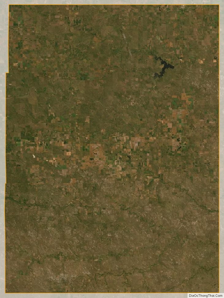
Perkins County Satellite Map
Perkins County Outline Map