McKean County is a rural county in the Commonwealth of Pennsylvania. As of the 2020 census, the population was 40,432. Its county seat is Smethport. The county was created in 1804 and organized in 1826. It was named in honor of former Pennsylvania Governor and Declaration of Independence signer Thomas McKean.
McKean County comprises the Bradford, Pennsylvania micropolitan statistical area. It is in a sparsely populated region known as the Pennsylvania Wilds. It includes the Allegheny National Forest and borders New York. McKean County boasts of being “The Black Cherry Capital of the World.”
McKean County was founded because of its natural resources of oil and timber, both of which continue to provide a significant input to the economy. Today, a university, rural medical center, federal prison and manufacturing companies balance the area’s economy.
| Name: | McKean County |
|---|---|
| FIPS code: | 42-083 |
| State: | Pennsylvania |
| Founded: | September 1, 1826 |
| Named for: | Thomas McKean |
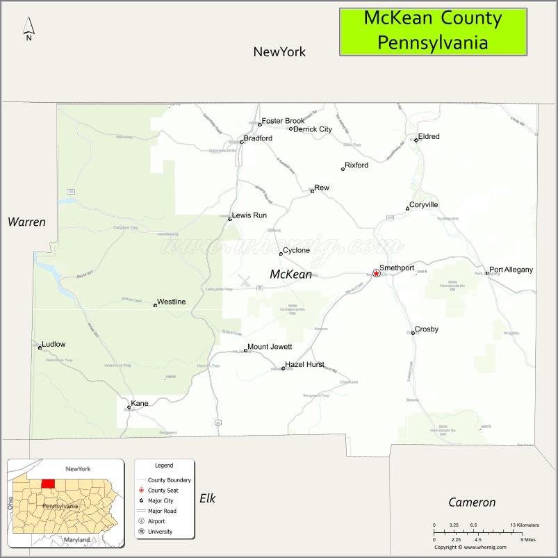
| Seat: | Smethport |
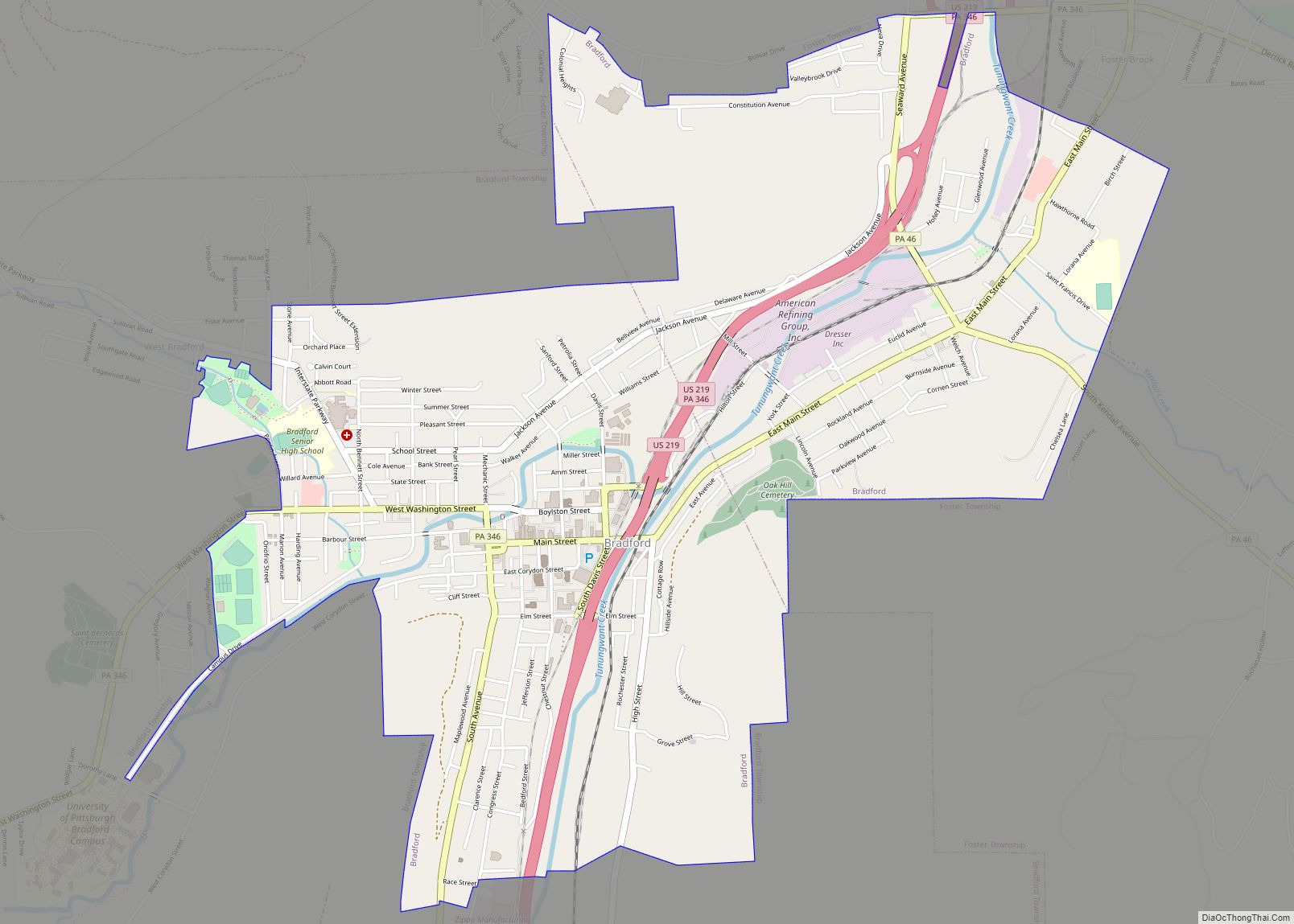
| Largest city: | Bradford |
| Total Area: | 984 sq mi (2,550 km²) |
| Land Area: | 979 sq mi (2,540 km²) |
| Total Population: | 40,432 |
| Population Density: | 41/sq mi (16/km²) |
| Time zone: | UTC−5 (Eastern) |
| Summer Time Zone (DST): | UTC−4 (EDT) |
| Website: | www.mckeancountypa.org |
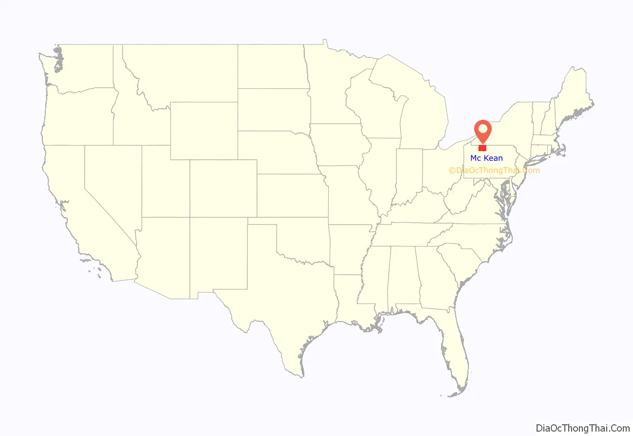
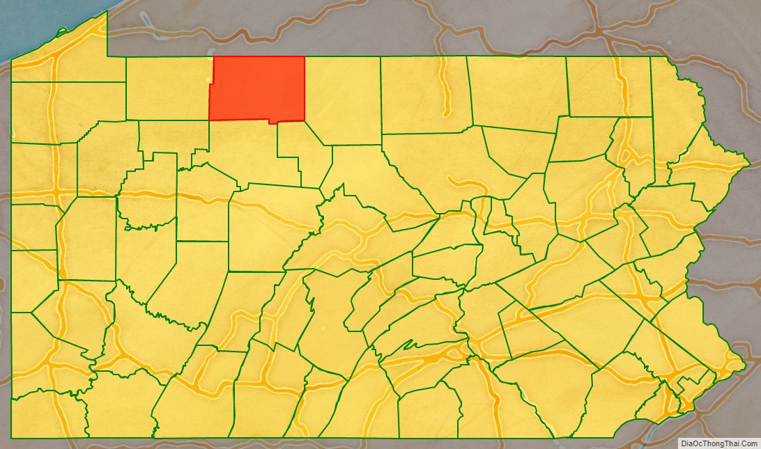
McKean County location map. Where is McKean County?
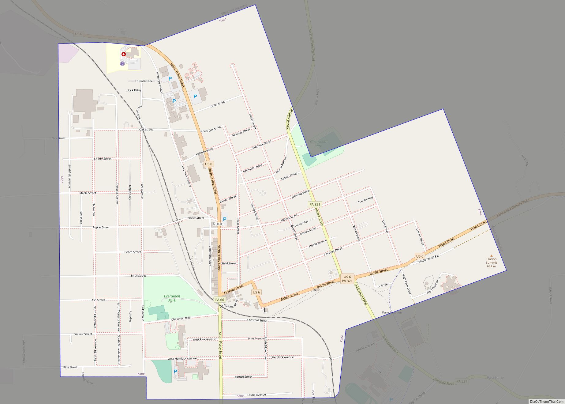
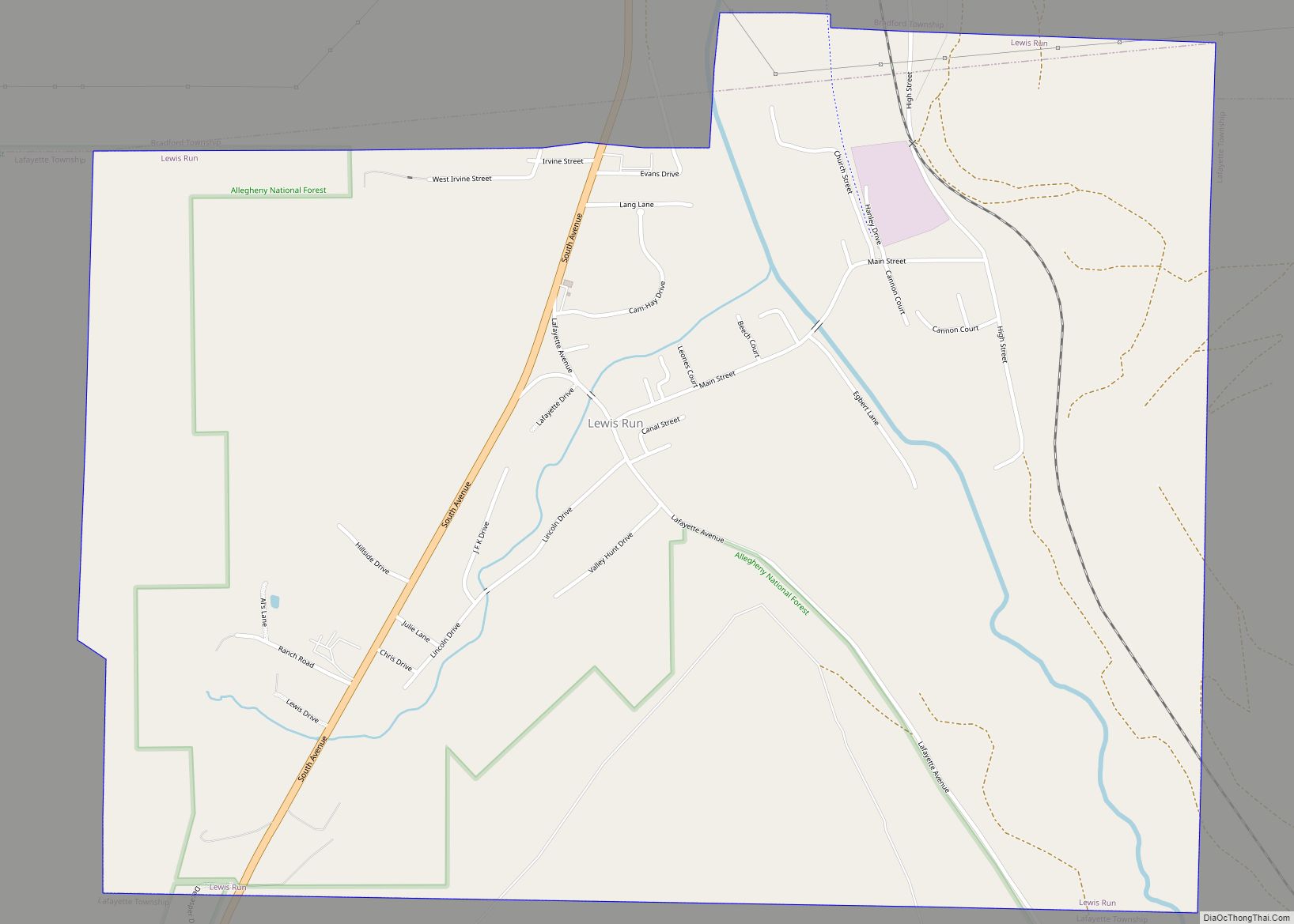
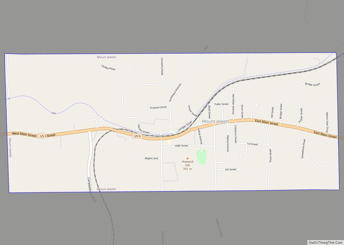
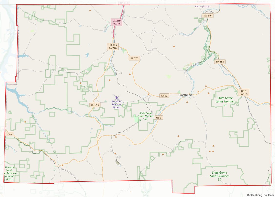
McKean County Road Map
Geography
According to the U.S. Census Bureau, the county has an area of 984 square miles (2,550 km), of which 979 square miles (2,540 km) is land and 5.0 square miles (13 km) (0.5%) is water. It has a warm-summer humid continental climate (Dfb) and average monthly temperatures in downtown Bradford range from 23.0 °F in January to 67.6 °F in July, while in Mount Jewett they range from 21.2 °F in January to 65.1 °F in July. [1]
Adjacent counties
- Cattaraugus County, New York (north)
- Allegany County, New York (northeast)
- Potter County (east)
- Cameron County (southeast)
- Elk County (south)
- Forest County (southwest)
- Warren County (west)
Major highways
- US 6
- US 219
- PA 44
- PA 46
- PA 59
- PA 146
- PA 155
- PA 321
- PA 346
- PA 446
- PA 546
- PA 646
- PA 770
National protected area
- Allegheny National Forest (part)
- Allegheny National Recreation Area (part)
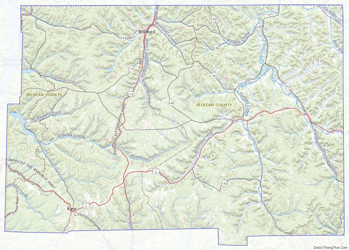
McKean County Topographic Map
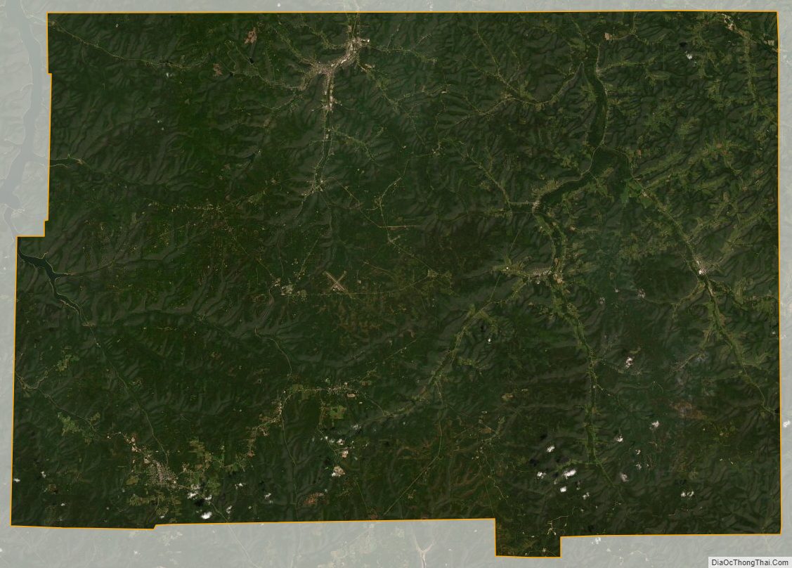
McKean County Satellite Map
McKean County Outline Map