Dinwiddie County is a county located in the Commonwealth of Virginia. As of the 2020 census, the population was 27,947. Its county seat is Dinwiddie.
Dinwiddie County is part of the Richmond, VA Metropolitan Statistical Area.
Famous people include: Neal Chappell, Dakota Erb, Cody Long, Aaron Long, Isiah Embry, Jordan Embry
| Name: | Dinwiddie County |
|---|---|
| FIPS code: | 51-053 |
| State: | Virginia |
| Founded: | 1752 |
| Named for: | Robert Dinwiddie |
| Seat: | Dinwiddie |
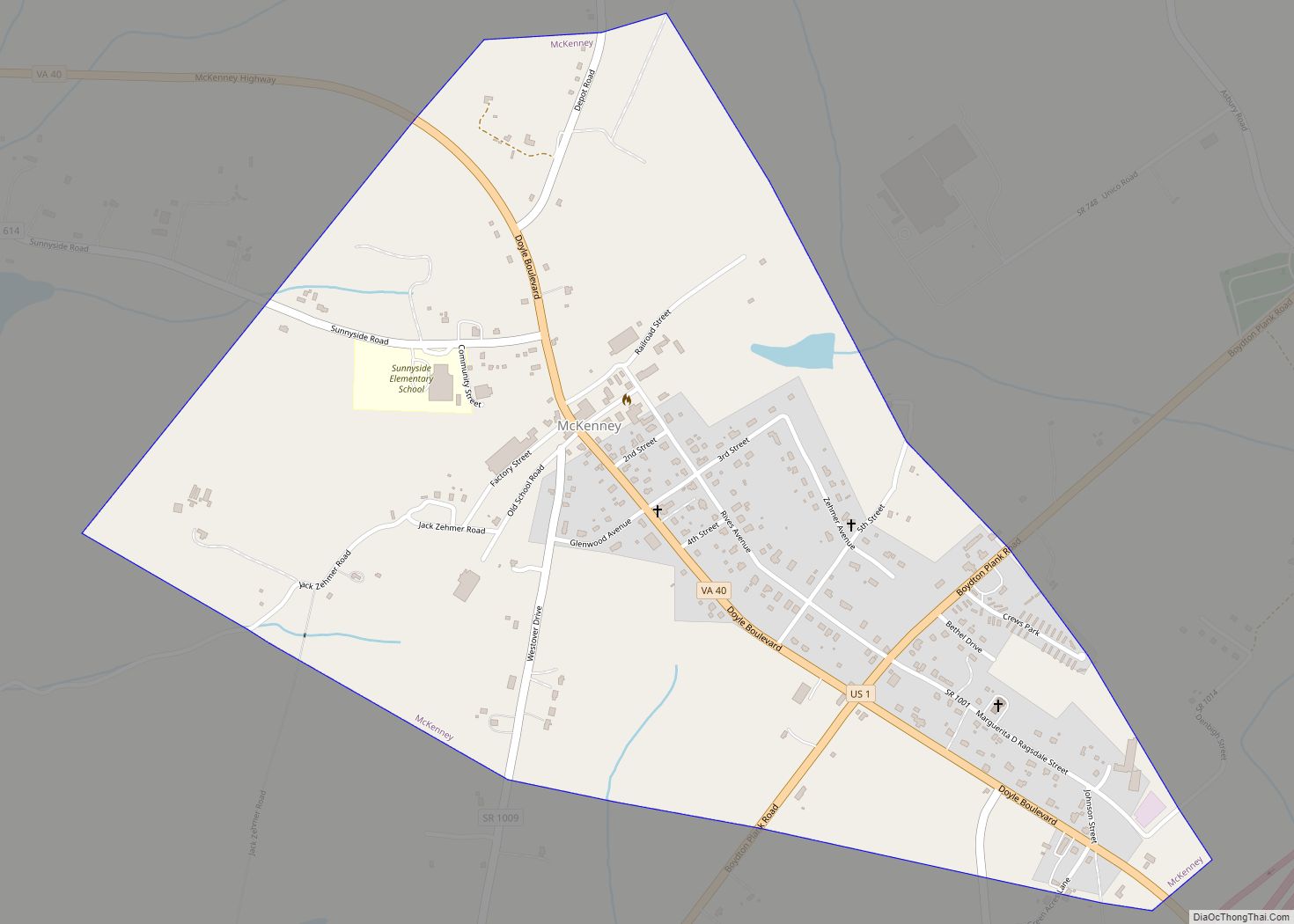
| Largest town: | McKenney |
| Total Area: | 507 sq mi (1,310 km²) |
| Land Area: | 504 sq mi (1,310 km²) |
| Total Population: | 27,947 |
| Population Density: | 55/sq mi (21/km²) |
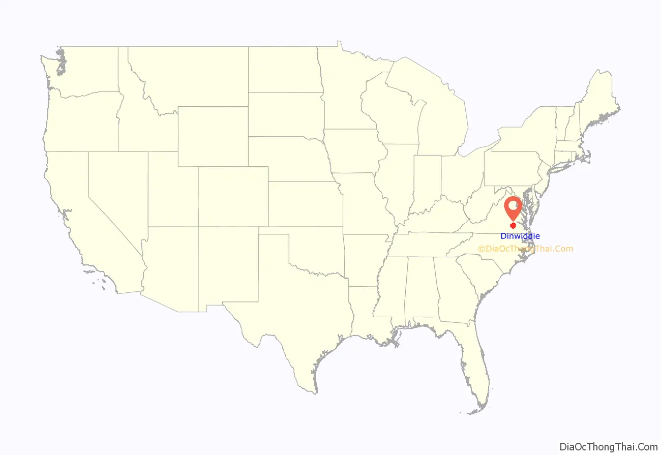
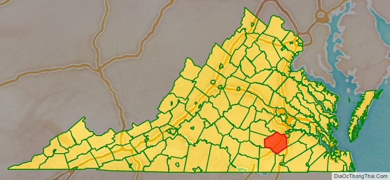
Dinwiddie County location map. Where is Dinwiddie County?
History
The first inhabitants of the area were Paleo-Indians, prior to 8000 BC. They are believed to have been nomadic hunter-gatherers following animal migrations. Early stone tools have been discovered in various fields within the county. At the time of European contact, Native Americans made their homes in the region.
Dinwiddie County was formed May 1, 1752, from Prince George County. The county is named for Robert Dinwiddie, Lieutenant Governor of Virginia, 1751–58. The county raised several militia units that would fight in the American Revolution.
Dinwiddie County was the birthplace of Elizabeth (Burwell) Hobbs Keckly, a free black dressmaker who worked for two presidents’ wives: Mrs. Jefferson Davis and later Mary Todd Lincoln. Thomas Day was also a native; he was well known later at Milton, North Carolina, as a free black cabinetmaker. Another native son was Dr. Thomas Stewart, perhaps America’s first free black 18th-century rural physician.
During the Civil War the Battle of Lewis’s Farm was fought along Quaker Road [Rt. 660]. It took place on March 29, 1865. This was the first in several attempts by Union General Ulysses S. Grant to cut Robert E. Lee’s final supply line—the Southside Railroad—in the spring of 1865. Here the Union forces led by Brig. Gen. Joshua L. Chamberlain engaged Confederates under Maj. Gen. Bushrod R. Johnson. After sharp fighting, the Union troops entrenched nearby along the Boydton Plank Road, and Johnson withdrew to his lines at White Oak Road. The Union army cut the rail line four days later, after capturing Five Forks on April 1, 1865, at the Battle of Five Forks. Several other engagements were fought in Dinwiddie County, including the Battle of Dinwiddie Court House, Battle of Sutherland’s Station, and Battle of White Oak Road.
The Dinwiddie County Historical Society currently occupies the historic Dinwiddie County Court House.
Civil War battles
- Battle of Peebles’ Farm
- Battle of Lewis’s Farm
- Battle of Dinwiddie Court House
- Battle of White Oak Road
- Battle of Five Forks
- Battle of Sutherland’s Station
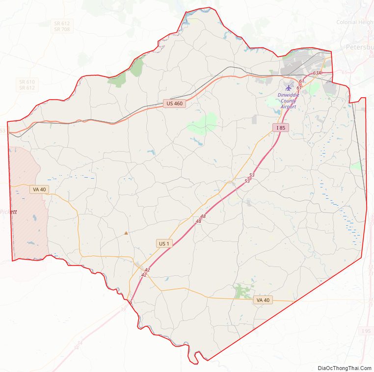
Dinwiddie County Road Map
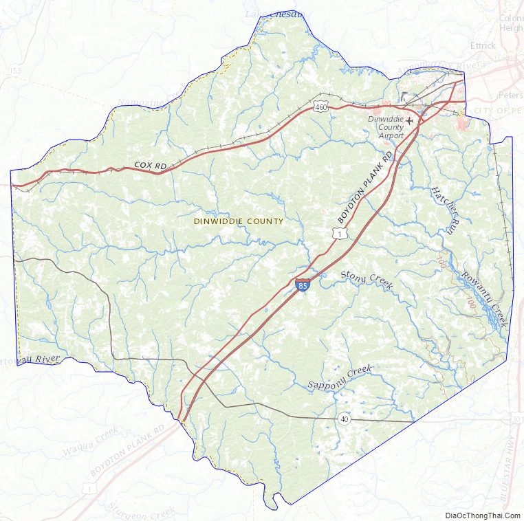
Geography
Dinwiddie is located in southern Virginia, southwest of the independent city of Petersburg, which separated from the county (and adjacent Prince George County) in 1871. According to the U.S. Census Bureau, the county has a total area of 507 square miles (1,310 km), of which 504 square miles (1,310 km) is land and 3.5 square miles (9.1 km) (0.7%) is water. It is located between two US Army forts, Fort Lee to the east and Fort Pickett to the west.
Adjacent counties
- Chesterfield County – north
- Petersburg City – northeast
- Prince George County – east
- Sussex County – southeast
- Greensville County – south
- Brunswick County – southwest
- Nottoway County – west
- Amelia County – northwest
National protected area
- Petersburg National Battlefield (part)
Major highways
- I-85
- US 1
- US 460
- US 460 Bus.
- SR 40
- SR 142
- SR 226
Dinwiddie County Topographic Map
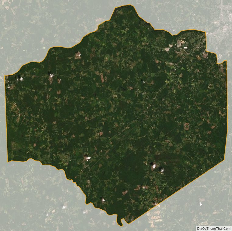
Dinwiddie County Satellite Map
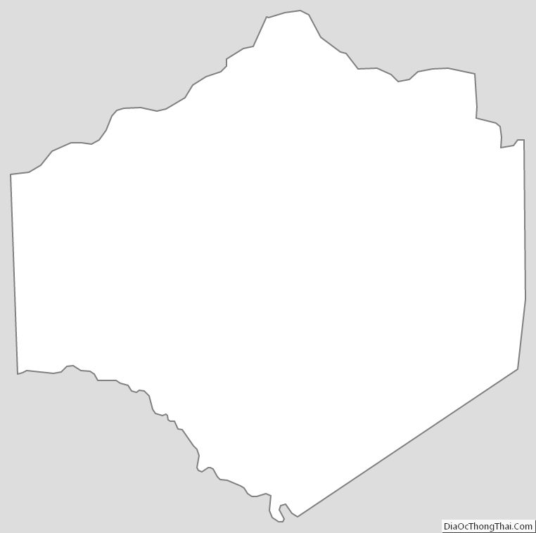
Dinwiddie County Outline Map