| Name: | Atchison County |
|---|---|
| FIPS code: | 29-005 |
| State: | Missouri |
| Founded: | February 14, 1845 |
| Named for: | David Rice Atchison |
| Seat: | Rock Port |
| Largest city: | Tarkio |
| Total Area: | 550 sq mi (1,400 km²) |
| Land Area: | 547 sq mi (1,420 km²) |
| Total Population: | 5,305 |
| Population Density: | 9.6/sq mi (3.7/km²) |
| Time zone: | UTC−6 (Central) |
| Summer Time Zone (DST): | UTC−5 (CDT) |
| Website: | www.atchisoncounty.org |
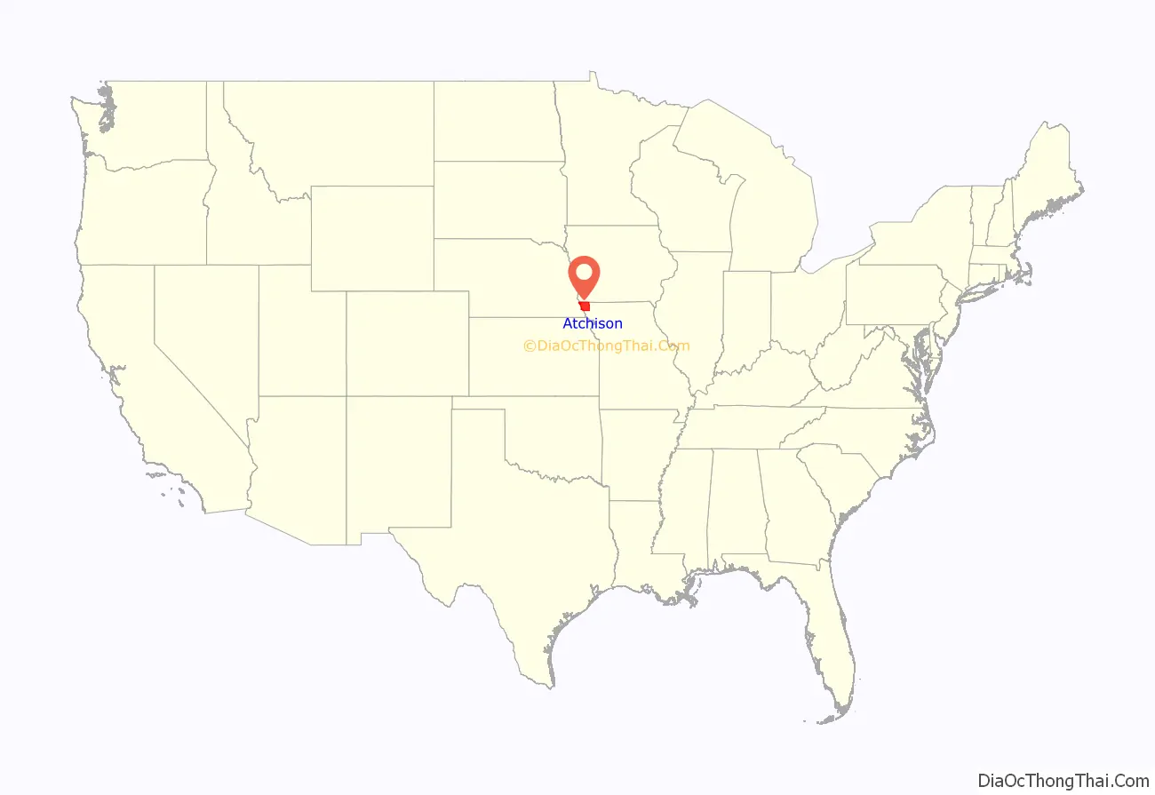
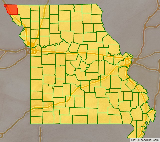
Atchison County location map. Where is Atchison County?
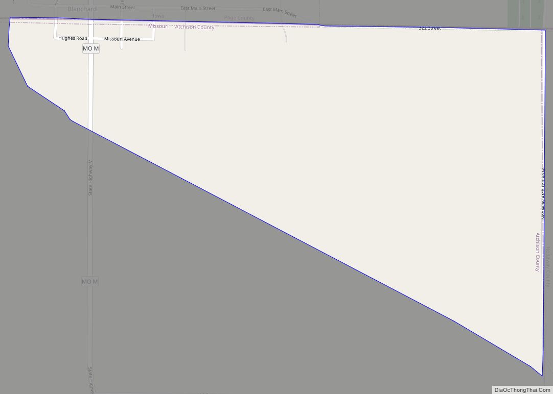
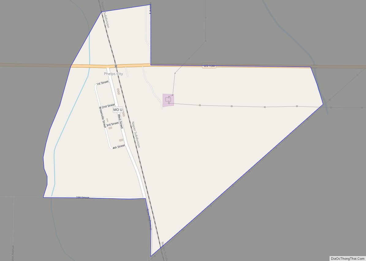
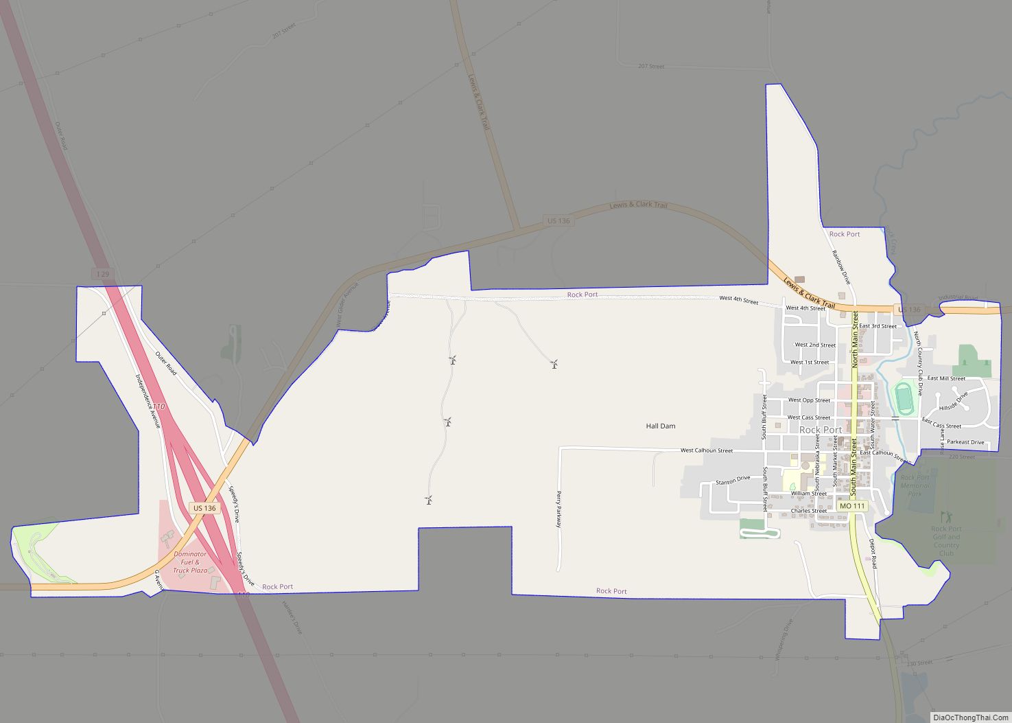
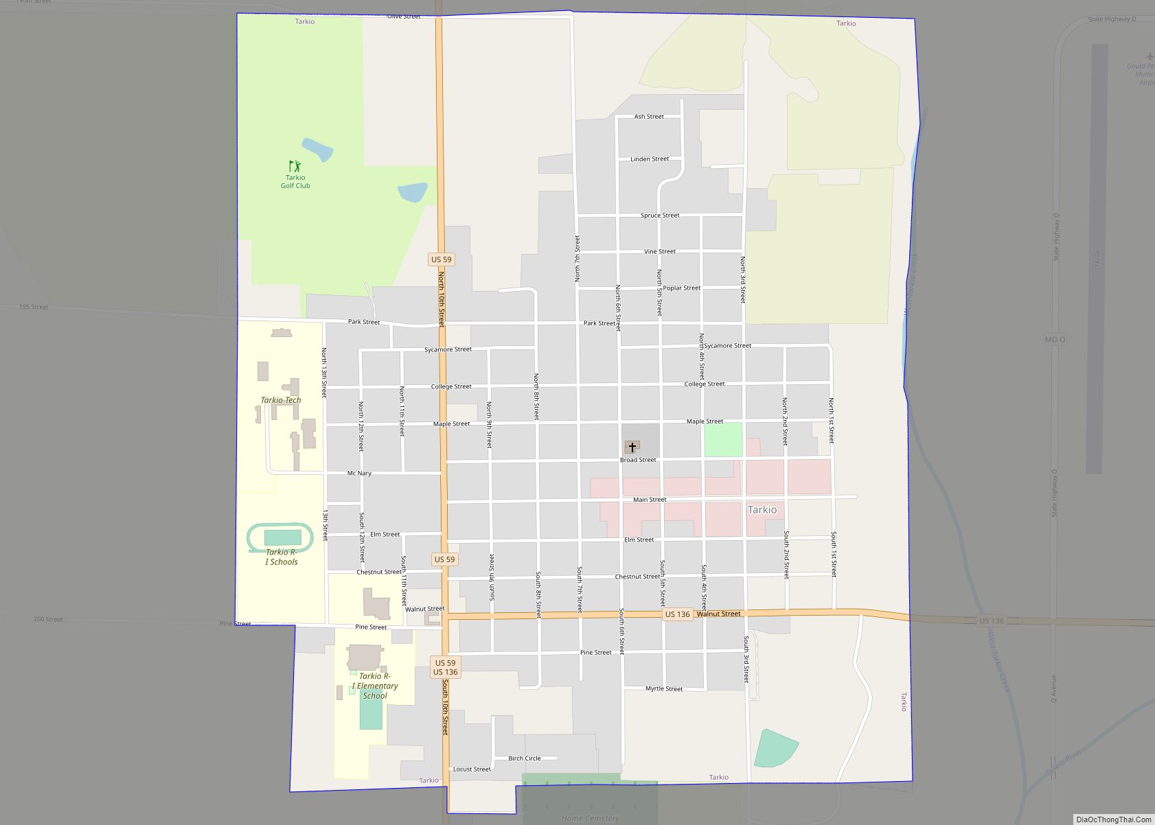
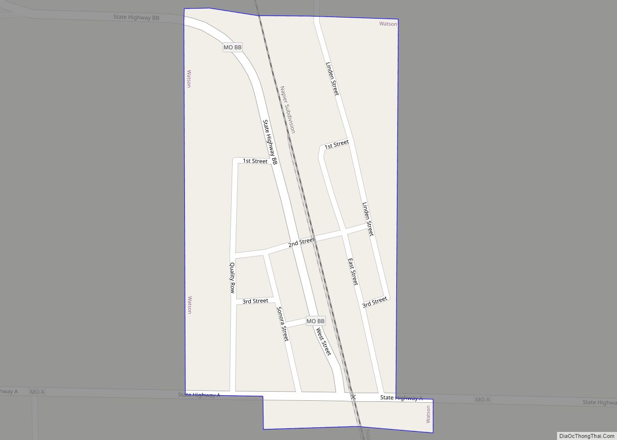
Atchison County Road Map
Geography
According to the U.S. Census Bureau, the county has a total area of 550 square miles (1,400 km), of which 547 square miles (1,420 km) is land and 2.8 square miles (7.3 km) (0.5%) is water.
Atchison’s western boundary for the most part is the Missouri River and Nebraska. An 1867 flood straightened a bend in the river north of Watson. Both Nebraska and Missouri claimed the 5,000 acre McKissick Island that extends almost two miles into Atchison County. The Supreme Court in 1904 decided that the land belongs to Nebraska. The only way Nebraskans can reach it by road is to cross the Missouri River and then travel through Missouri.
The State Line Slough (Missouri) stream is in Atchison County.
Adjacent counties
- Fremont County, Iowa (north)
- Page County, Iowa (northeast)
- Nodaway County (east)
- Holt County (south)
- Richardson County, Nebraska (southwest)
- Nemaha County, Nebraska (west)
- Otoe County, Nebraska (northwest)
Major highways
- Interstate 29
- U.S. Route 59
- U.S. Route 136
- U.S. Route 275
- Route 46
- Route 111
