Newland is a town in Avery County, North Carolina, United States. The population was 698 at the 2010 census. It is the county seat of Avery County.
| Name: | Newland town |
|---|---|
| LSAD Code: | 43 |
| LSAD Description: | town (suffix) |
| State: | North Carolina |
| County: | Avery County |
| Founded: | 1911 |
| Incorporated: | 1913 |
| Elevation: | 3,606 ft (1,099 m) |
| Total Area: | 0.75 sq mi (1.94 km²) |
| Land Area: | 0.75 sq mi (1.94 km²) |
| Water Area: | 0.00 sq mi (0.00 km²) |
| Total Population: | 715 |
| Population Density: | 955.88/sq mi (369.20/km²) |
| ZIP code: | 28657 |
| Area code: | 828 |
| FIPS code: | 3746740 |
| GNISfeature ID: | 1013943 |
| Website: | www.townofnewland.org |
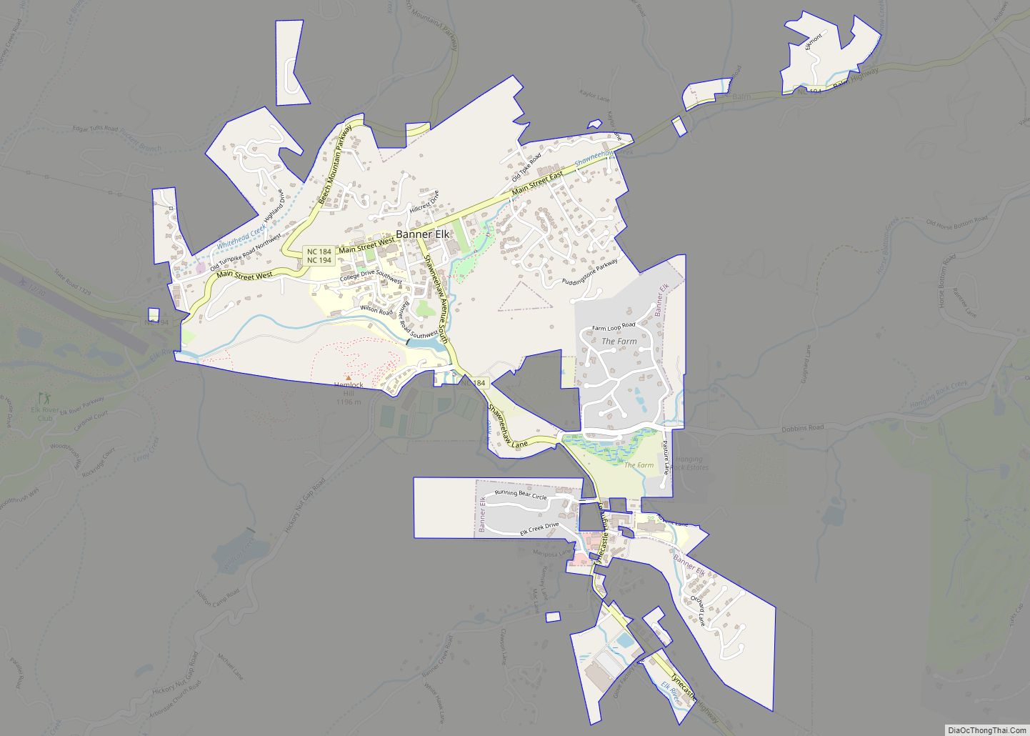
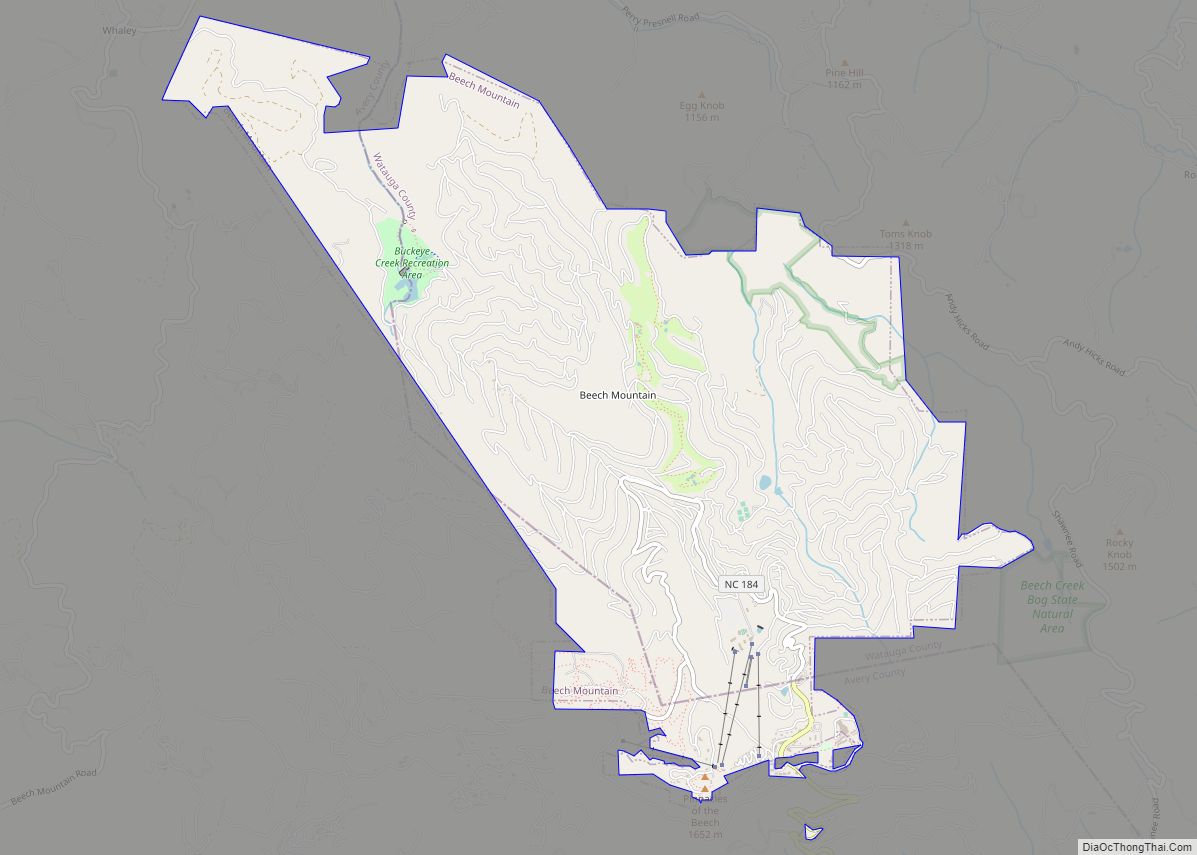
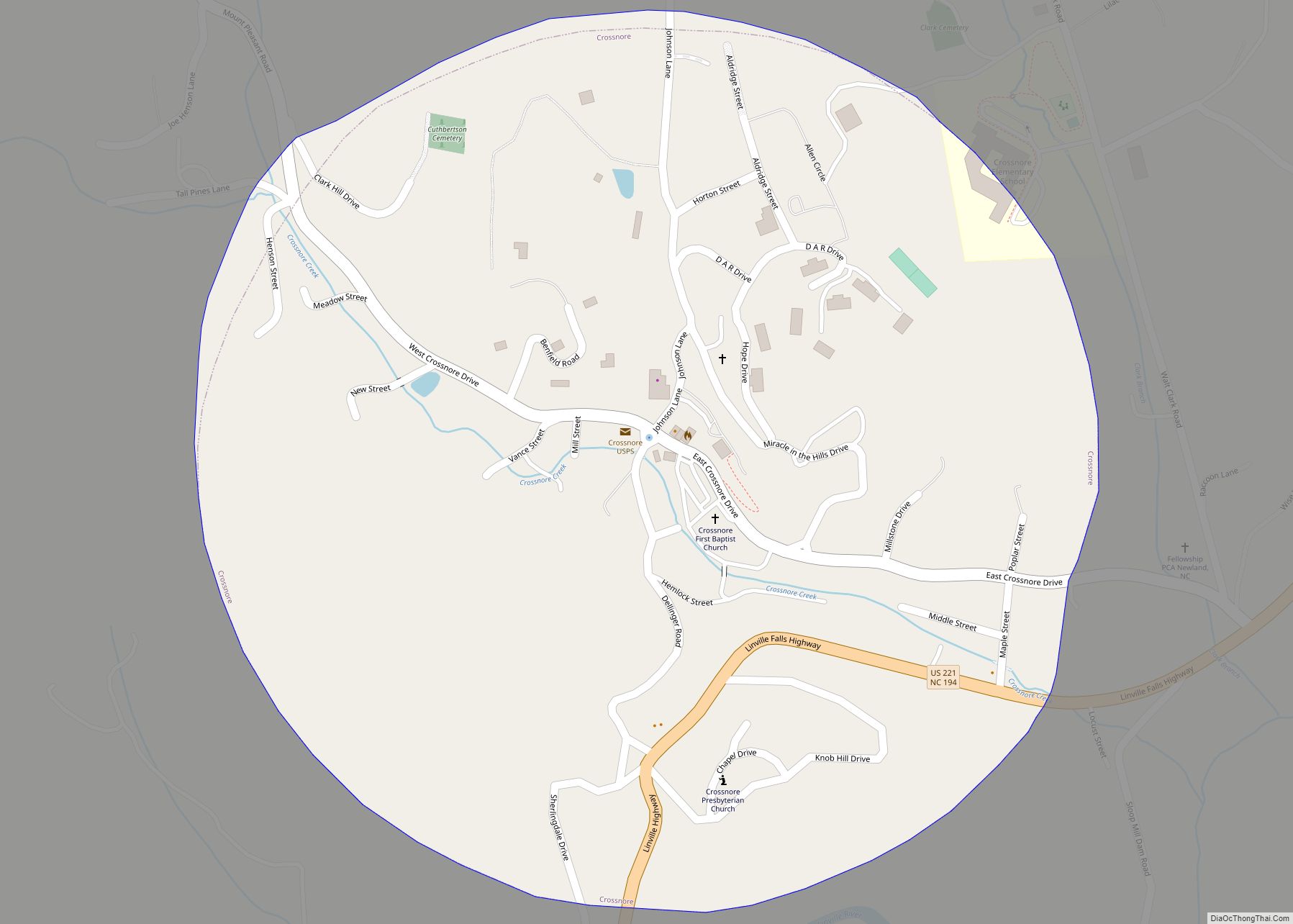
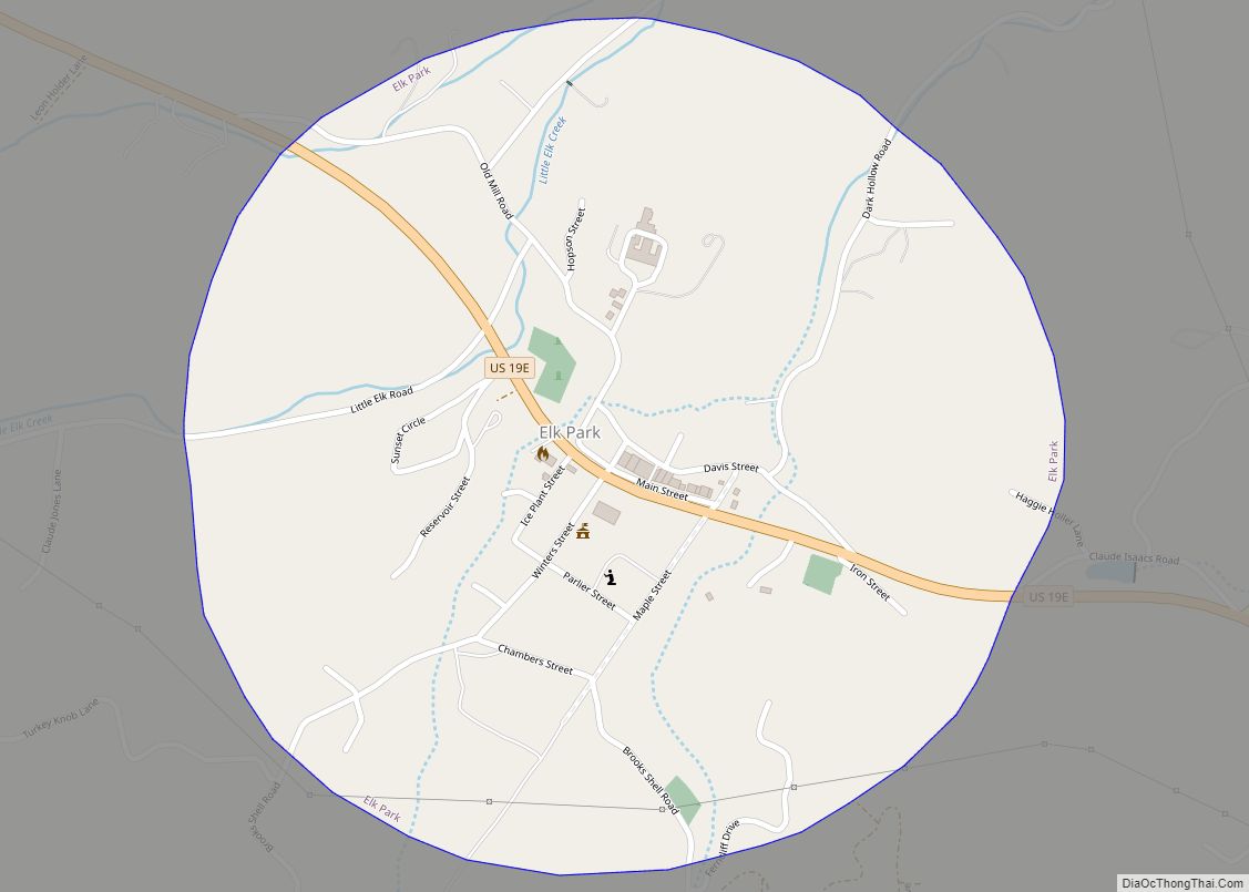
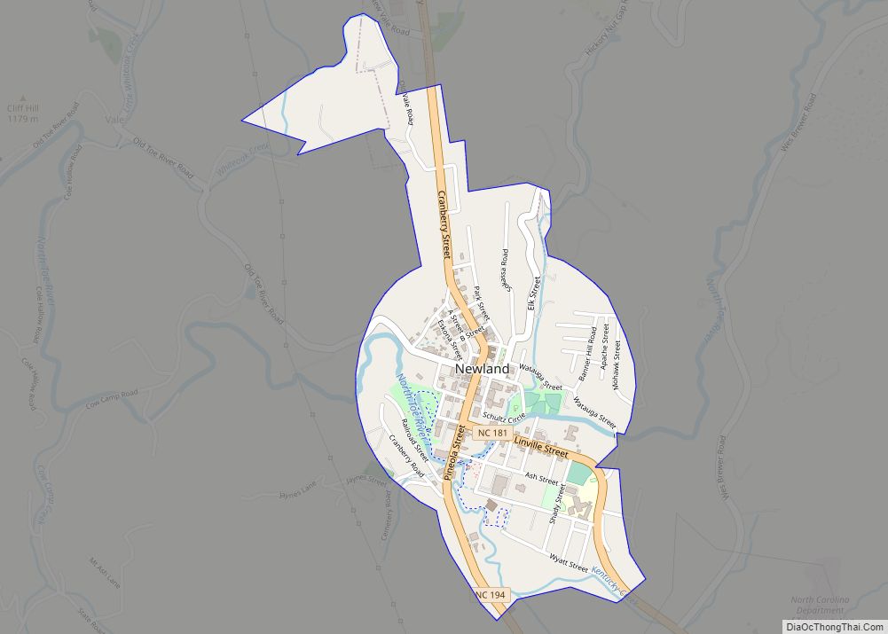
Online Interactive Map
Click on ![]() to view map in "full screen" mode.
to view map in "full screen" mode.
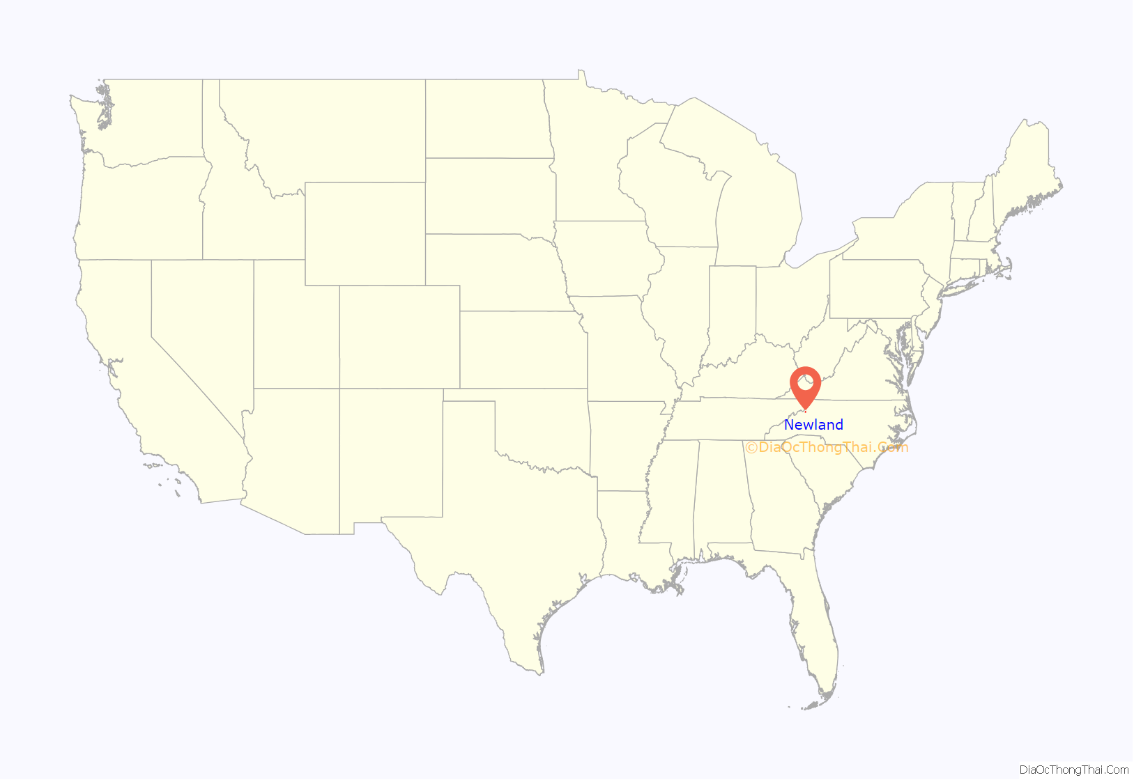
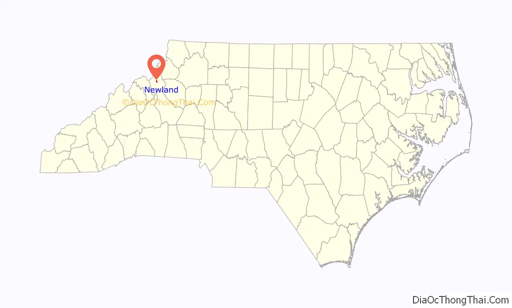
Newland location map. Where is Newland town?
History
Before its founding, the area was known as “Old Fields of Toe”. It was an early muster ground in the campaign against Indians and before the Battle of Kings Mountain. On November 9, 1783 the land was granted to Colonel Waightstill Avery.
The name comes from the legend of Estatoe, pronounced ‘S – ta – toe’, about an Indian chief’s daughter who fell in love with a warrior of a rival tribe. Because their love could never be accepted by either’s families, they jumped from a precipice into the depths of a nearby river. In an alternative version, their love caused a bloody war between the tribes and Estatoe crafted a peace pipe with two stems in which both chiefs could smoke at once. The two rival chiefs assembled their respective followers on the bank of the river, and smoked till peace was concluded and Estatoe married her lover.
In 1899, the Linville River Railway (LRR) began rail service in the area, with a flag stop at “Old Fields”. In 1911, upon the establishment of Avery County, Old Fields of Toe was designated as the site for the county seat and was renamed Newland, after the North Carolina Lieutenant Governor William C. Newland. In 1912, the Newland Post Office was established; while in 1913, the Avery County Courthouse and Avery County Jail opened (both in the National Register of Historic Places). In that same year, Newland was incorporated as a town. In 1914, the East Tennessee and Western North Carolina Railroad (ET&WNC), successor of the LRR, opened the Newland Depot, which was equipped with telephone and telegraph services; burned down in 1921, but was soon rebuilt and continued operations till 1940.
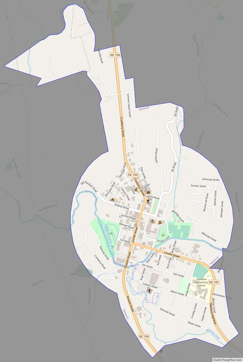
Newland Road Map
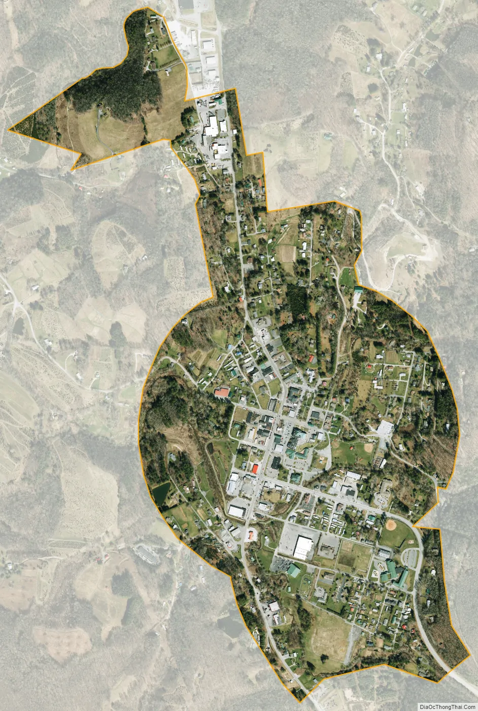
Newland city Satellite Map
Geography
Newland is located at 36°5′11″N 81°55′36″W / 36.08639°N 81.92667°W / 36.08639; -81.92667 (36.086509, -81.926664).
According to the United States Census Bureau, the town has a total area of 0.7 square miles (1.8 km), all land.
At an elevation of 3,621 feet or 1,104 metres, it is the highest county seat in the Eastern United States (based on elevations in the USGS database).
The East Tennessee and Western North Carolina Railroad (“Tweetsie”) passed through the town until 1940.
See also
Map of North Carolina State and its subdivision:- Alamance
- Alexander
- Alleghany
- Anson
- Ashe
- Avery
- Beaufort
- Bertie
- Bladen
- Brunswick
- Buncombe
- Burke
- Cabarrus
- Caldwell
- Camden
- Carteret
- Caswell
- Catawba
- Chatham
- Cherokee
- Chowan
- Clay
- Cleveland
- Columbus
- Craven
- Cumberland
- Currituck
- Dare
- Davidson
- Davie
- Duplin
- Durham
- Edgecombe
- Forsyth
- Franklin
- Gaston
- Gates
- Graham
- Granville
- Greene
- Guilford
- Halifax
- Harnett
- Haywood
- Henderson
- Hertford
- Hoke
- Hyde
- Iredell
- Jackson
- Johnston
- Jones
- Lee
- Lenoir
- Lincoln
- Macon
- Madison
- Martin
- McDowell
- Mecklenburg
- Mitchell
- Montgomery
- Moore
- Nash
- New Hanover
- Northampton
- Onslow
- Orange
- Pamlico
- Pasquotank
- Pender
- Perquimans
- Person
- Pitt
- Polk
- Randolph
- Richmond
- Robeson
- Rockingham
- Rowan
- Rutherford
- Sampson
- Scotland
- Stanly
- Stokes
- Surry
- Swain
- Transylvania
- Tyrrell
- Union
- Vance
- Wake
- Warren
- Washington
- Watauga
- Wayne
- Wilkes
- Wilson
- Yadkin
- Yancey
- Alabama
- Alaska
- Arizona
- Arkansas
- California
- Colorado
- Connecticut
- Delaware
- District of Columbia
- Florida
- Georgia
- Hawaii
- Idaho
- Illinois
- Indiana
- Iowa
- Kansas
- Kentucky
- Louisiana
- Maine
- Maryland
- Massachusetts
- Michigan
- Minnesota
- Mississippi
- Missouri
- Montana
- Nebraska
- Nevada
- New Hampshire
- New Jersey
- New Mexico
- New York
- North Carolina
- North Dakota
- Ohio
- Oklahoma
- Oregon
- Pennsylvania
- Rhode Island
- South Carolina
- South Dakota
- Tennessee
- Texas
- Utah
- Vermont
- Virginia
- Washington
- West Virginia
- Wisconsin
- Wyoming